Niverville is a semi-rural hamlet and census-designated place (CDP) in northern Columbia County, New York, United States. The hamlet of Niverville is located in the town of Kinderhook, south of Kinderhook Lake. The Niverville CDP includes the hamlet as well as all of the land surrounding Kinderhook Lake, extending east into the town of Chatham. The population of the CDP was 1,662 at the 2010 census.
| Name: | Niverville CDP |
|---|---|
| LSAD Code: | 57 |
| LSAD Description: | CDP (suffix) |
| State: | New York |
| County: | Columbia County |
| Elevation: | 292 ft (89 m) |
| Total Area: | 3.42 sq mi (8.86 km²) |
| Land Area: | 2.87 sq mi (7.44 km²) |
| Water Area: | 0.55 sq mi (1.41 km²) |
| Total Population: | 1,508 |
| Population Density: | 524.70/sq mi (202.56/km²) |
| ZIP code: | 12130 |
| Area code: | 518 |
| FIPS code: | 3651297 |
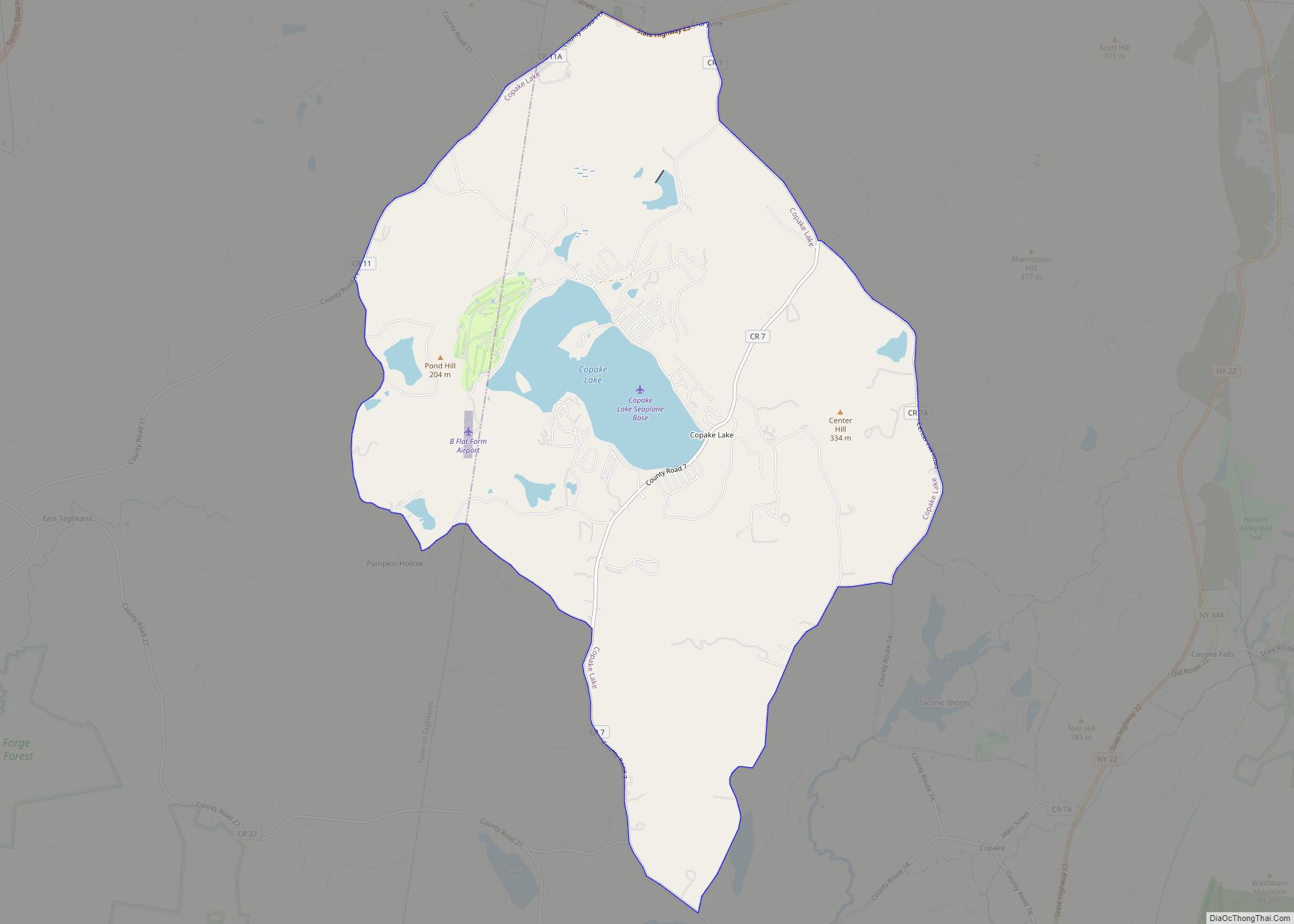
Online Interactive Map
Click on ![]() to view map in "full screen" mode.
to view map in "full screen" mode.
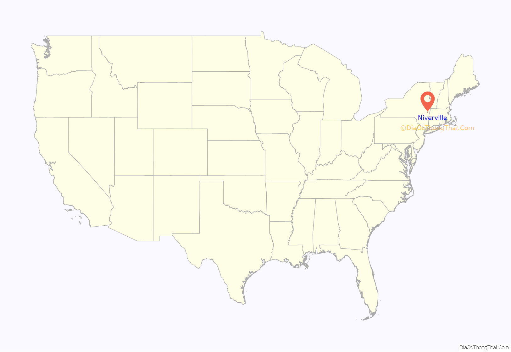
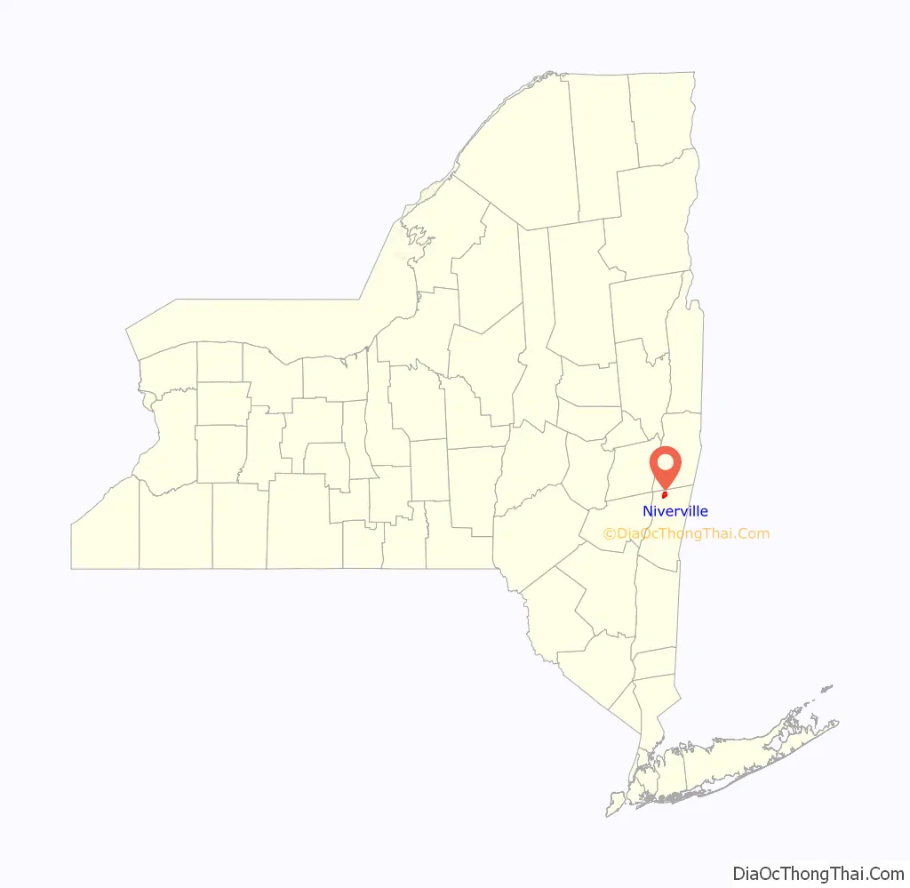
Niverville location map. Where is Niverville CDP?
History
Niverville was first settled by the Dutch; the first house was built circa 1707 by Louren Lourenson Van Alen, who obtained the Kinderhoeck Patent—a land grant—in 1629 from Jan Hendrickse DeBruyn, including the area now known as Niverville. Located within the hamlet, Kinderhook Lake—originally called Wogasawoochuk or “Big Fish Lake” by the Mohican early Native American inhabitants—provided fertile, peat-rich soil that supported numerous orchards and farms.
The Niver cousins—John Niver and John M. Niver—emigrated to the area from Germany in the early nineteenth century. They built the first gristmill for rye flour; their prosperity built the Niver mansion just across the bridge along County Route 28 in 1848. The hamlet was ultimately named “Niverville” after the prosperous Nivers, although it was long known as Kinderhook Station, after its Boston and Albany Railroad, and Kinderhook and Hudson Railroad turntable, built in 1841. The railroad restaurant known as the Van Hoesen House (not to be confused with the Jan Van Hoesen House some 20 miles south in Claverack) has since become the Niverville Pub, serving the area with live music entertainment on a regular schedule.
In 1846, the Niverville Post Office was established with less than twenty business and residential addresses. Niverville’s first park—Kinderhook Lake Park, aka The Old Park—was established in 1870 as a picnic and meeting place.
By 1899 the railroad trolleys were electrified and Niverville’s Electric Park was founded along Kinderhook Lake. Lit by colored lights, the amusement park featured two Ferris wheels (one run by steam, the other by electricity), a carousel, a roller coaster, and other rides, as well as live vaudeville performances held in a dancing pavilion, an aquarium stocked with native fish, and a bathing beach alongside the lake’s popular boating and fishing activities.
The Niverville Fire Department, established in 1916, is a central community hub serving Kinderhook Lake, residents of adjacent Chatham town along the eastern edge of the lake, and Niverville residents. The current firehouse sits on 13 acres (5.3 ha) of land purchased by the Fire Department in 1965. The department maintains an impressive collection of fire trucks—including a vintage 1935 Ford chassis with a Ward LaFrance fire engine body—which are put to use in local parades and festivities, including Niverville’s Fourth of July fund raiser. The department also hosts an annual Halloween Parade and Party. The Ladies’ Auxiliary of the Niverville Fire Department is an important and active community group who offer refreshments and assist members of the Fire Department in any way possible before/during and after emergency situations. In addition, the Ladies host dinners, banquets, and other fundraisers for the purchase of Fire Department equipment. The centennial anniversary of the founding of the Niverville Fire Department will be held in 2016.
Niverville is served by the nearby Valatie Free Library, a member of the Mid-Hudson Library System.
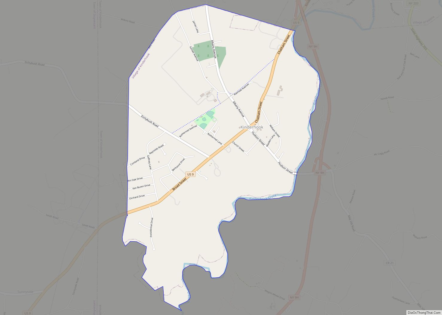
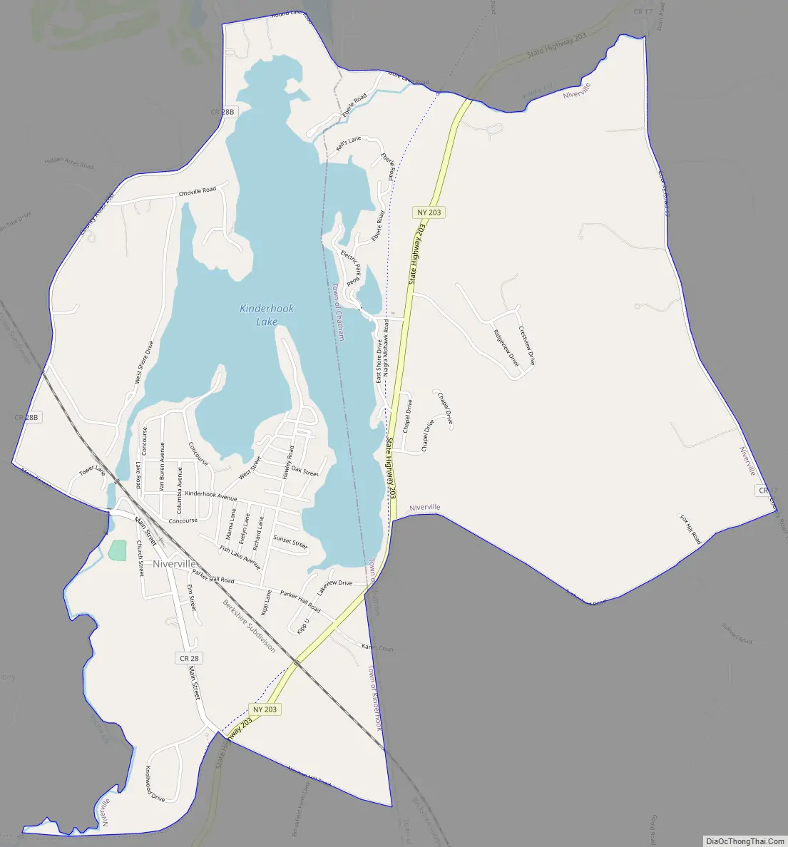
Niverville Road Map
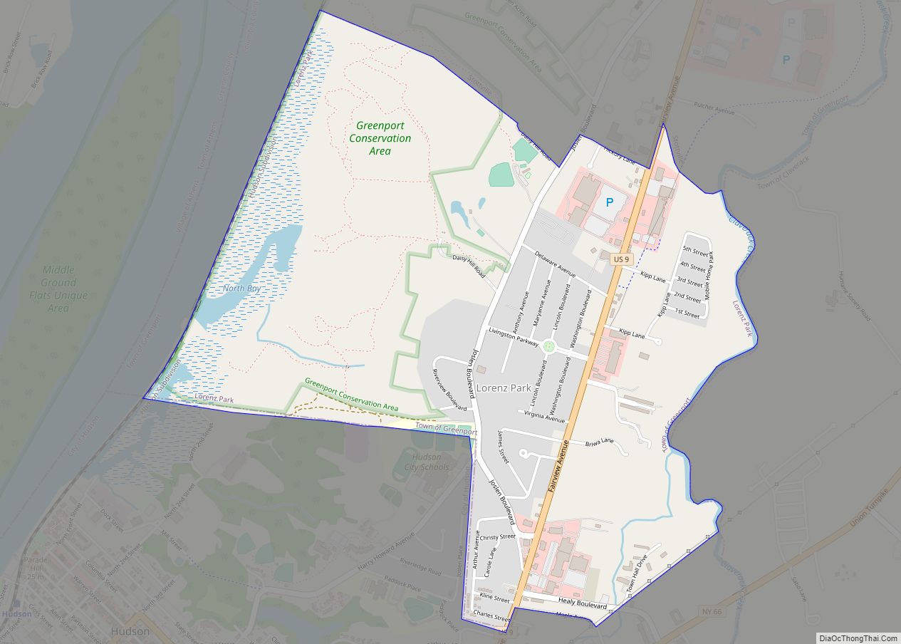
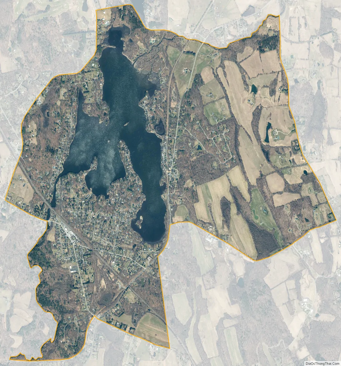
Niverville city Satellite Map
Geography
Niverville is located in the northeastern part of the town of Kinderhook at 42°26′46″N 73°39′16″W / 42.44611°N 73.65444°W / 42.44611; -73.65444 (42.446211, -73.654549). The area listed by the U.S. Census as Niverville extends east into the town of Chatham so that it surrounds Kinderhook Lake. New York State Route 203 passes east of the hamlet proper and along the eastern shore of Kinderhook Lake, leading southwest 2 miles (3 km) to Valatie and northeast 6 miles (10 km) to Nassau.
According to the United States Census Bureau, the area has a total area of 3.4 square miles (8.9 km), of which 2.9 square miles (7.4 km) is land and 0.54 square miles (1.4 km), or 15.94%, is water, primarily Kinderhook Lake. The lake is located along Valatie Kill, a southwestward-flowing tributary of Kinderhook Creek in the Hudson River Valley.
See also
Map of New York State and its subdivision:- Albany
- Allegany
- Bronx
- Broome
- Cattaraugus
- Cayuga
- Chautauqua
- Chemung
- Chenango
- Clinton
- Columbia
- Cortland
- Delaware
- Dutchess
- Erie
- Essex
- Franklin
- Fulton
- Genesee
- Greene
- Hamilton
- Herkimer
- Jefferson
- Kings
- Lake Ontario
- Lewis
- Livingston
- Madison
- Monroe
- Montgomery
- Nassau
- New York
- Niagara
- Oneida
- Onondaga
- Ontario
- Orange
- Orleans
- Oswego
- Otsego
- Putnam
- Queens
- Rensselaer
- Richmond
- Rockland
- Saint Lawrence
- Saratoga
- Schenectady
- Schoharie
- Schuyler
- Seneca
- Steuben
- Suffolk
- Sullivan
- Tioga
- Tompkins
- Ulster
- Warren
- Washington
- Wayne
- Westchester
- Wyoming
- Yates
- Alabama
- Alaska
- Arizona
- Arkansas
- California
- Colorado
- Connecticut
- Delaware
- District of Columbia
- Florida
- Georgia
- Hawaii
- Idaho
- Illinois
- Indiana
- Iowa
- Kansas
- Kentucky
- Louisiana
- Maine
- Maryland
- Massachusetts
- Michigan
- Minnesota
- Mississippi
- Missouri
- Montana
- Nebraska
- Nevada
- New Hampshire
- New Jersey
- New Mexico
- New York
- North Carolina
- North Dakota
- Ohio
- Oklahoma
- Oregon
- Pennsylvania
- Rhode Island
- South Carolina
- South Dakota
- Tennessee
- Texas
- Utah
- Vermont
- Virginia
- Washington
- West Virginia
- Wisconsin
- Wyoming