North Amityville is a hamlet and census-designated place (CDP) in the Town of Babylon in Suffolk County, on the South Shore of Long Island, in New York. The population was 18,643 at the 2020 Census.
| Name: | North Amityville CDP |
|---|---|
| LSAD Code: | 57 |
| LSAD Description: | CDP (suffix) |
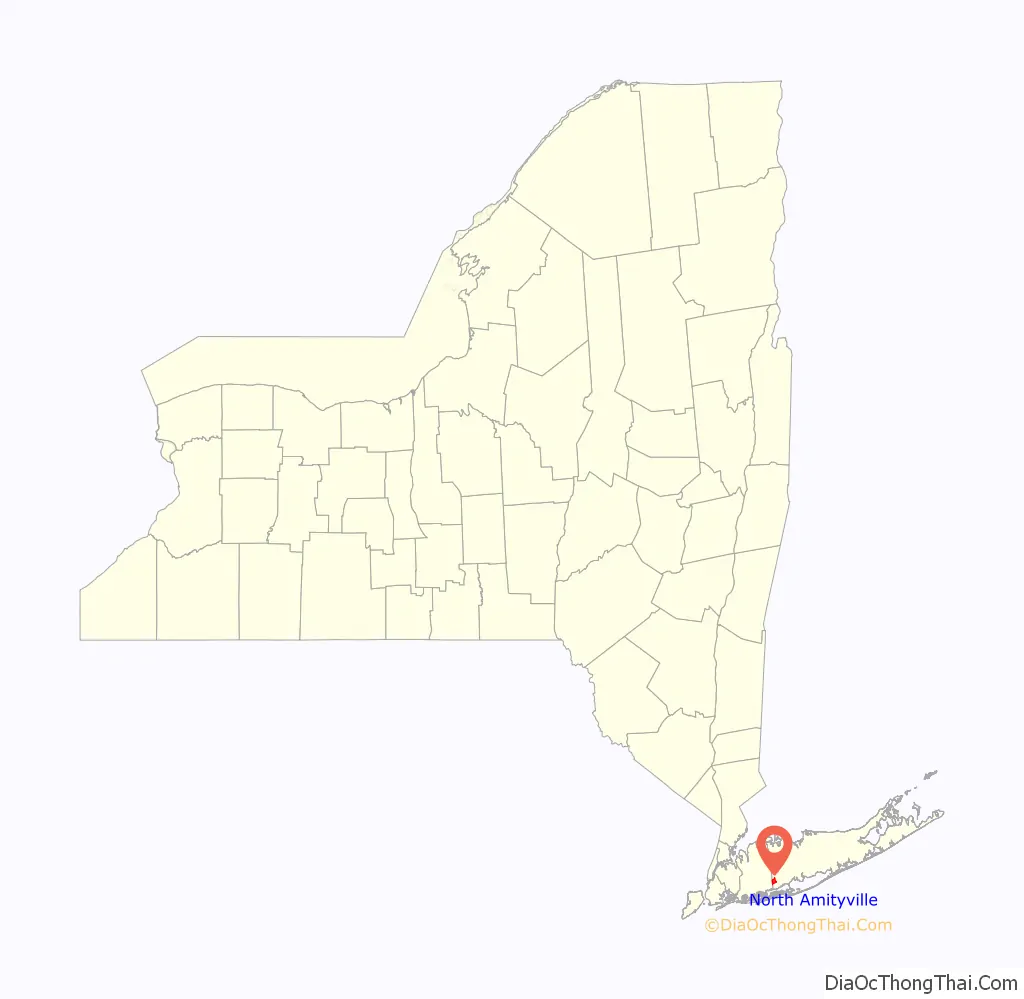
| State: | New York |
| County: | Suffolk County |
| Elevation: | 33 ft (10 m) |
| Total Area: | 2.36 sq mi (6.10 km²) |
| Land Area: | 2.36 sq mi (6.10 km²) |
| Water Area: | 0.00 sq mi (0.00 km²) |
| Total Population: | 18,643 |
| Population Density: | 7,909.63/sq mi (3,054.34/km²) |
| ZIP code: | 11701, 11726 |
| Area code: | 631 |
| FIPS code: | 3651396 |
| GNISfeature ID: | 0958665 |
Online Interactive Map
Click on ![]() to view map in "full screen" mode.
to view map in "full screen" mode.
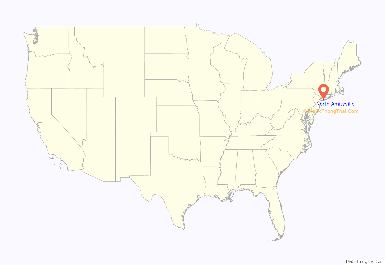
North Amityville location map. Where is North Amityville CDP?
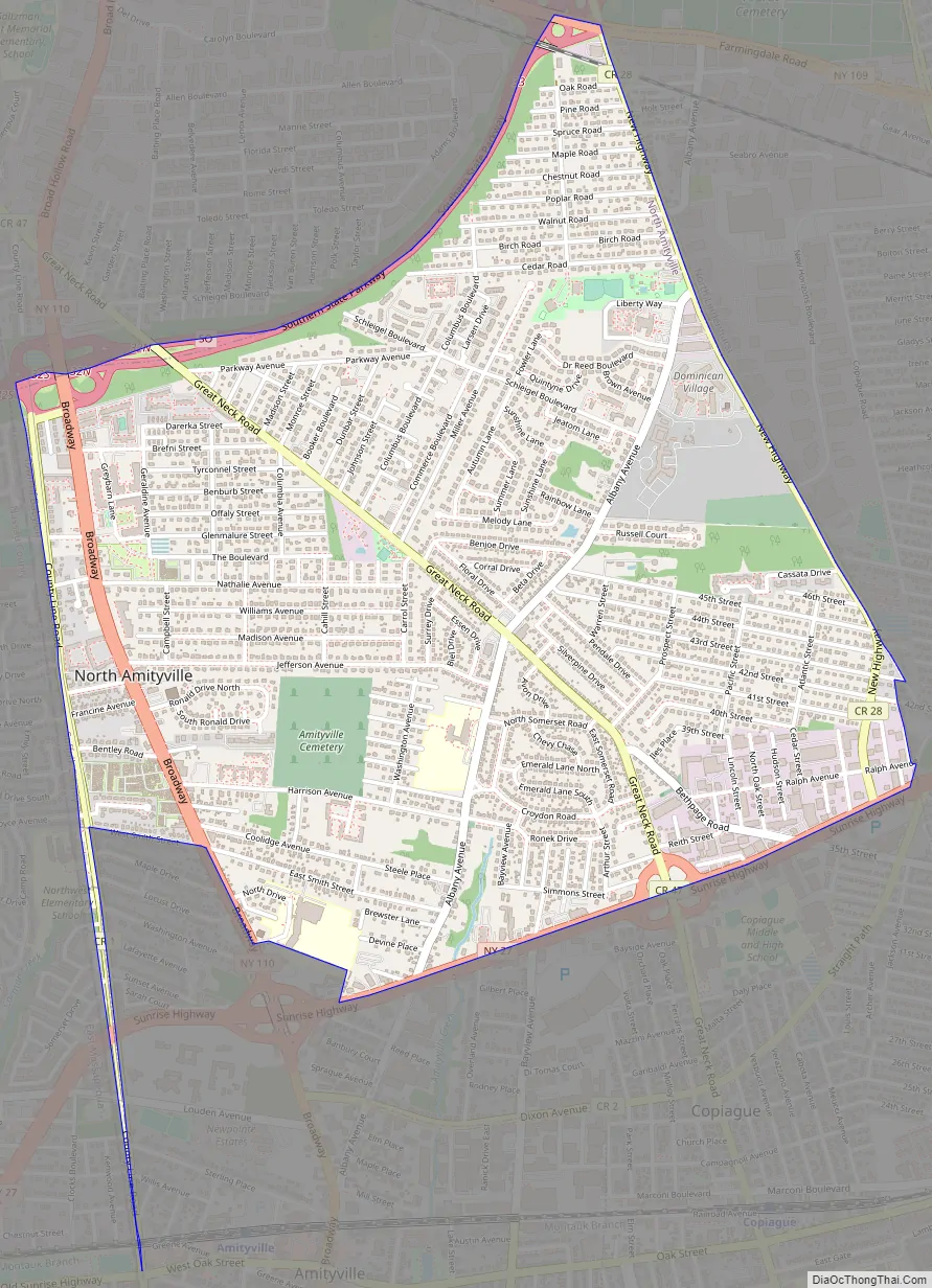
North Amityville Road Map
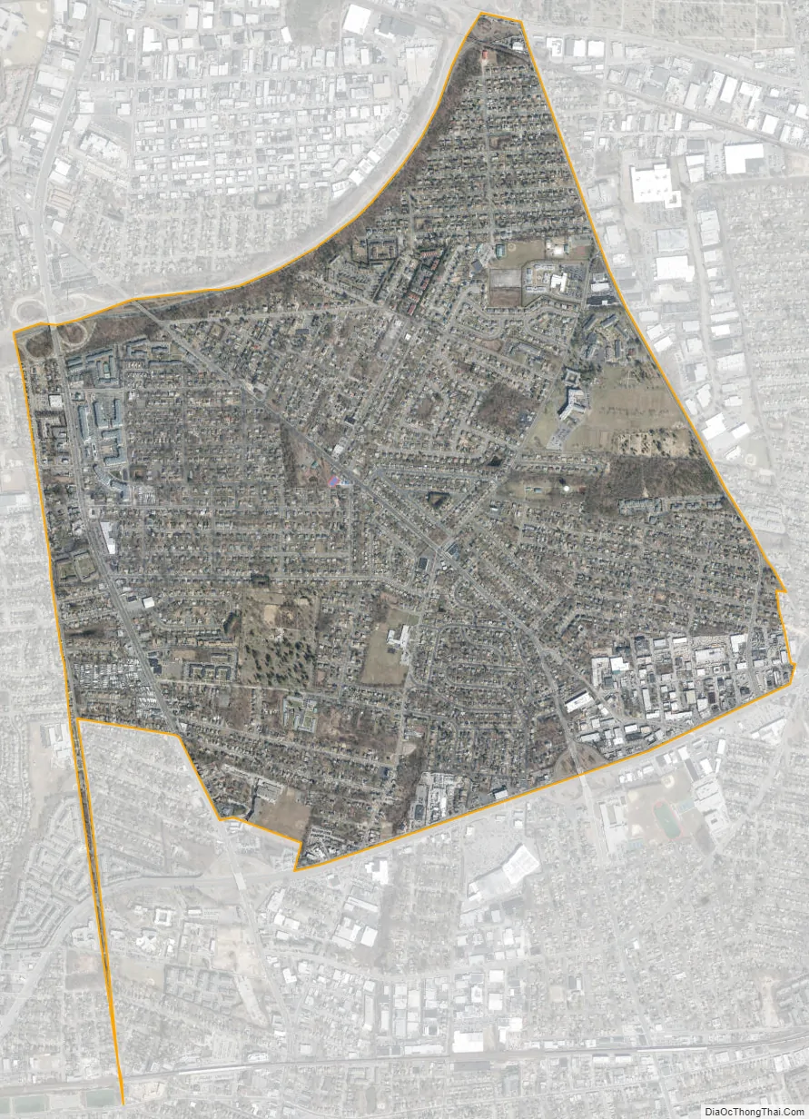
North Amityville city Satellite Map
Geography
According to the United States Census Bureau, the CDP has a total area of 2.4 square miles (6.1 km), all land.
North Amityville is bordered by the hamlet of East Massapequa (in Nassau County) to the west, the hamlet of East Farmingdale to the north, the hamlet of North Lindenhurst to the southeast, the Village of Lindenhurst to the southeast, and the Village of Amityville and the hamlet of Copiague to the south.
See also
Map of New York State and its subdivision:- Albany
- Allegany
- Bronx
- Broome
- Cattaraugus
- Cayuga
- Chautauqua
- Chemung
- Chenango
- Clinton
- Columbia
- Cortland
- Delaware
- Dutchess
- Erie
- Essex
- Franklin
- Fulton
- Genesee
- Greene
- Hamilton
- Herkimer
- Jefferson
- Kings
- Lake Ontario
- Lewis
- Livingston
- Madison
- Monroe
- Montgomery
- Nassau
- New York
- Niagara
- Oneida
- Onondaga
- Ontario
- Orange
- Orleans
- Oswego
- Otsego
- Putnam
- Queens
- Rensselaer
- Richmond
- Rockland
- Saint Lawrence
- Saratoga
- Schenectady
- Schoharie
- Schuyler
- Seneca
- Steuben
- Suffolk
- Sullivan
- Tioga
- Tompkins
- Ulster
- Warren
- Washington
- Wayne
- Westchester
- Wyoming
- Yates
- Alabama
- Alaska
- Arizona
- Arkansas
- California
- Colorado
- Connecticut
- Delaware
- District of Columbia
- Florida
- Georgia
- Hawaii
- Idaho
- Illinois
- Indiana
- Iowa
- Kansas
- Kentucky
- Louisiana
- Maine
- Maryland
- Massachusetts
- Michigan
- Minnesota
- Mississippi
- Missouri
- Montana
- Nebraska
- Nevada
- New Hampshire
- New Jersey
- New Mexico
- New York
- North Carolina
- North Dakota
- Ohio
- Oklahoma
- Oregon
- Pennsylvania
- Rhode Island
- South Carolina
- South Dakota
- Tennessee
- Texas
- Utah
- Vermont
- Virginia
- Washington
- West Virginia
- Wisconsin
- Wyoming


