North Hills is a village in the Town of North Hempstead in Nassau County, on the North Shore of Long Island, in New York, United States. The population was 5,464 at the 2020 census.
| Name: | North Hills village |
|---|---|
| LSAD Code: | 47 |
| LSAD Description: | village (suffix) |
| State: | New York |
| County: | Nassau County |
| Incorporated: | 1929 |
| Elevation: | 217 ft (66 m) |
| Total Area: | 2.76 sq mi (7.14 km²) |
| Land Area: | 2.76 sq mi (7.14 km²) |
| Water Area: | 0.00 sq mi (0.00 km²) |
| Total Population: | 5,464 |
| Population Density: | 1,981.86/sq mi (765.22/km²) |
| ZIP code: | 11030, 11040, 11507, 11576, 11577 |
| FIPS code: | 3653022 |
| GNISfeature ID: | 0972865 |
| Website: | www.villagenorthhills.com |
Online Interactive Map
Click on ![]() to view map in "full screen" mode.
to view map in "full screen" mode.
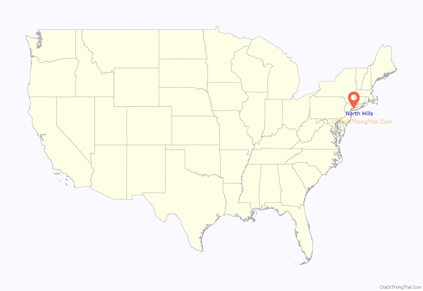
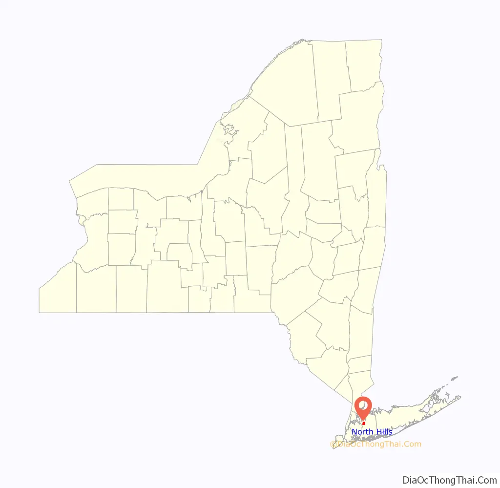
North Hills location map. Where is North Hills village?
History
The glacial action that formed much of Long Island deposited Shelter Rock in what is now North Hills approximately 11,000 years ago. The Matinecock had a village in the area. Farming developed in North Hills in the middle part of the 17th century. Around this time a long fence was built along the road later known as Northern Boulevard, to the north of North Hills. The lands of the Cow Neck Peninsula enclosed by the fence (present day Manhasset and Port Washington) were used for grazing.
During the 19th Century, one of the largest farms in the area was owned by Isaac Underhill Willets.
The village was incorporated in 1929 as a tax haven to prevent the Town of North Hempstead (seated in nearby Manhasset) from raising taxes on the property, as well as to gain and maintain home rule powers. The name North Hills was chosen due to how the village is located in the northern part of Nassau County and because the terrain is very hilly in the area.
In the 1960s, 1970s, and 1980s, North Hills proposed rezoning and downzoning large portions of the village as part of a master plan. The plan was to downzone and rezone for multiple uses, including for condominiums and cluster residences, a shopping center, and commercial and office buildings. Additionally, the rezoning would allow for buildings to be constructed as high as 85 feet (26 m).
The plan was extremely controversial as the downzoning of large estates included the estates of some village officials and their families, and it was believed that the officials were looking to downzone their properties for their own, personal benefit; it was also pointed out that the plans would have a severe, negative impact on neighboring communities, and that the village’s planning board was bypassed when drafting the plan. This caused the Village Board of adjacent Roslyn Estates to send telegrams to Governor Hugh Carey and Attorney General Louis Lefkowitz in 1977, asking them to investigate the matter, citing “possible impeachable offenses” from the officials in North Hills.
The master plan was rejected by the Nassau County Planning Commission twice – first in 1970 and then again in 1980 after revisions were made. Then, after several more modifications were made, it was approved in March 1980.
On May 16, 1983, North Hills dedicated Lowell H. Kane Park. The park, which is owned and operated by North Hills, is named after Lowell H. Kane, the former Mayor of North Hills.
Deepdale Country Club controversy
As the general housing situation of the village of North Hills is private, gated community style living, there is little communal activity. In the 2000s, after being ranked as one of the wealthiest communities in the United States, the Mayor of North Hills decided that acquiring the Deepdale Golf Club through eminent domain for the exclusive use of residents would make the village a better place, and that it would raise home values. Deepdale, which is located on the grounds of the former estate of Joseph P. Grace, served the village with legal papers, claiming that they were abusing government power by trying to close a country club for residents only. After much dispute in and out of court, the case eventually dissolved, leaving the club in the hands of its members.
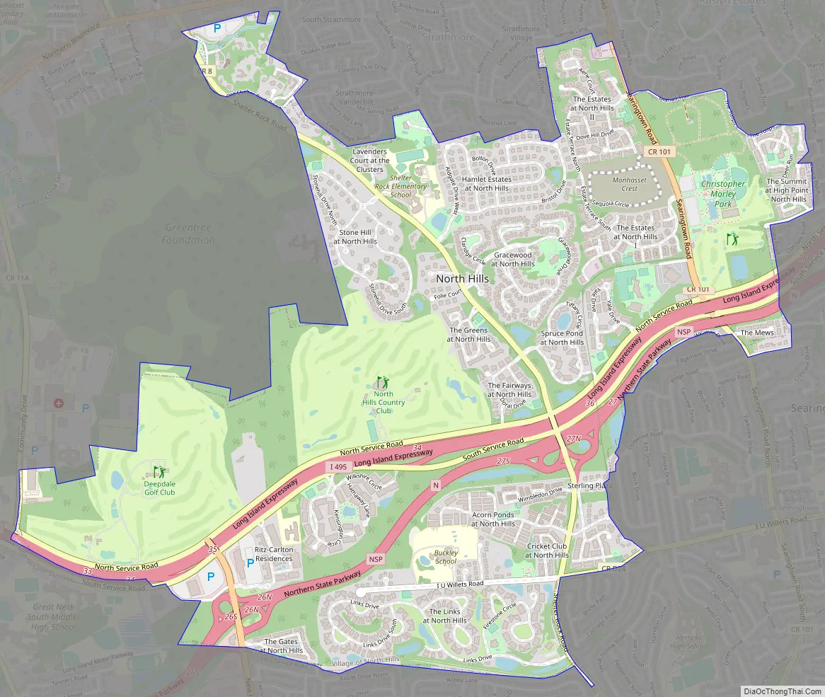
North Hills Road Map
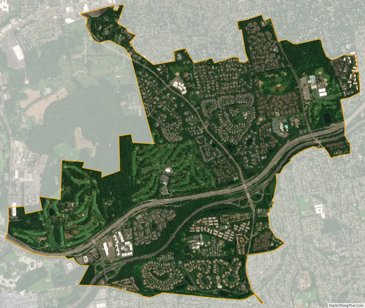
North Hills city Satellite Map
Geography
According to the United States Census Bureau, the village has a total area of 2.8 square miles (7.3 km), all land.
The Long Island Expressway (Interstate 495) and the Northern State Parkway travel through North Hills.
See also
Map of New York State and its subdivision:- Albany
- Allegany
- Bronx
- Broome
- Cattaraugus
- Cayuga
- Chautauqua
- Chemung
- Chenango
- Clinton
- Columbia
- Cortland
- Delaware
- Dutchess
- Erie
- Essex
- Franklin
- Fulton
- Genesee
- Greene
- Hamilton
- Herkimer
- Jefferson
- Kings
- Lake Ontario
- Lewis
- Livingston
- Madison
- Monroe
- Montgomery
- Nassau
- New York
- Niagara
- Oneida
- Onondaga
- Ontario
- Orange
- Orleans
- Oswego
- Otsego
- Putnam
- Queens
- Rensselaer
- Richmond
- Rockland
- Saint Lawrence
- Saratoga
- Schenectady
- Schoharie
- Schuyler
- Seneca
- Steuben
- Suffolk
- Sullivan
- Tioga
- Tompkins
- Ulster
- Warren
- Washington
- Wayne
- Westchester
- Wyoming
- Yates
- Alabama
- Alaska
- Arizona
- Arkansas
- California
- Colorado
- Connecticut
- Delaware
- District of Columbia
- Florida
- Georgia
- Hawaii
- Idaho
- Illinois
- Indiana
- Iowa
- Kansas
- Kentucky
- Louisiana
- Maine
- Maryland
- Massachusetts
- Michigan
- Minnesota
- Mississippi
- Missouri
- Montana
- Nebraska
- Nevada
- New Hampshire
- New Jersey
- New Mexico
- New York
- North Carolina
- North Dakota
- Ohio
- Oklahoma
- Oregon
- Pennsylvania
- Rhode Island
- South Carolina
- South Dakota
- Tennessee
- Texas
- Utah
- Vermont
- Virginia
- Washington
- West Virginia
- Wisconsin
- Wyoming


