North Patchogue (/ˈpætʃɒɡ/, PATCH-awg) is a hamlet and census-designated place (CDP) located within the Town of Brookhaven, in Suffolk County, New York, United States. The CDP population was 7,246 at the 2010 census.
| Name: | North Patchogue CDP |
|---|---|
| LSAD Code: | 57 |
| LSAD Description: | CDP (suffix) |
| State: | New York |
| County: | Suffolk County |
| Elevation: | 49 ft (15 m) |
| Total Area: | 2.02 sq mi (5.24 km²) |
| Land Area: | 1.97 sq mi (5.11 km²) |
| Water Area: | 0.05 sq mi (0.13 km²) |
| Total Population: | 6,751 |
| Population Density: | 3,421.69/sq mi (1,321.11/km²) |
| ZIP code: | 11772 |
| Area code: | 631, 934 |
| FIPS code: | 3653319 |
| GNISfeature ID: | 0958869 |
Online Interactive Map
Click on ![]() to view map in "full screen" mode.
to view map in "full screen" mode.
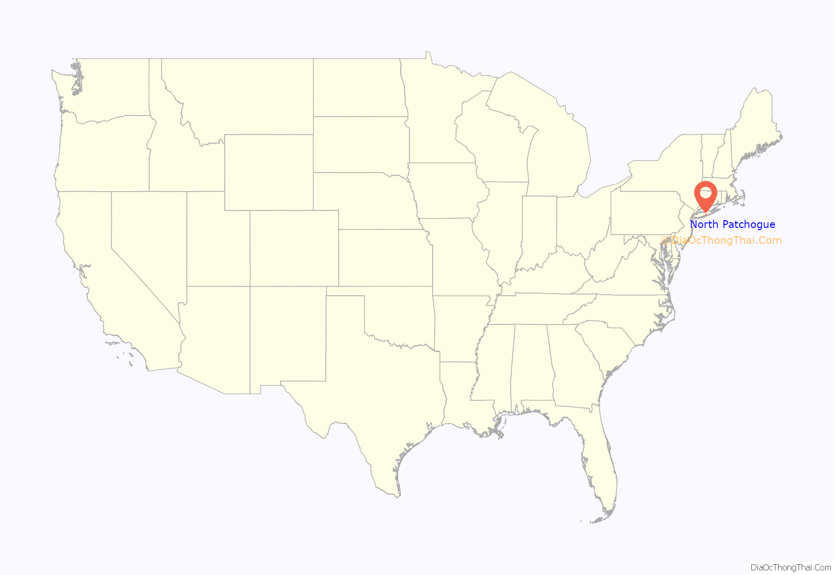
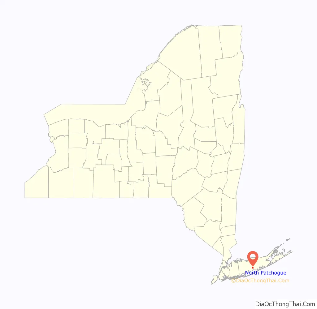
North Patchogue location map. Where is North Patchogue CDP?
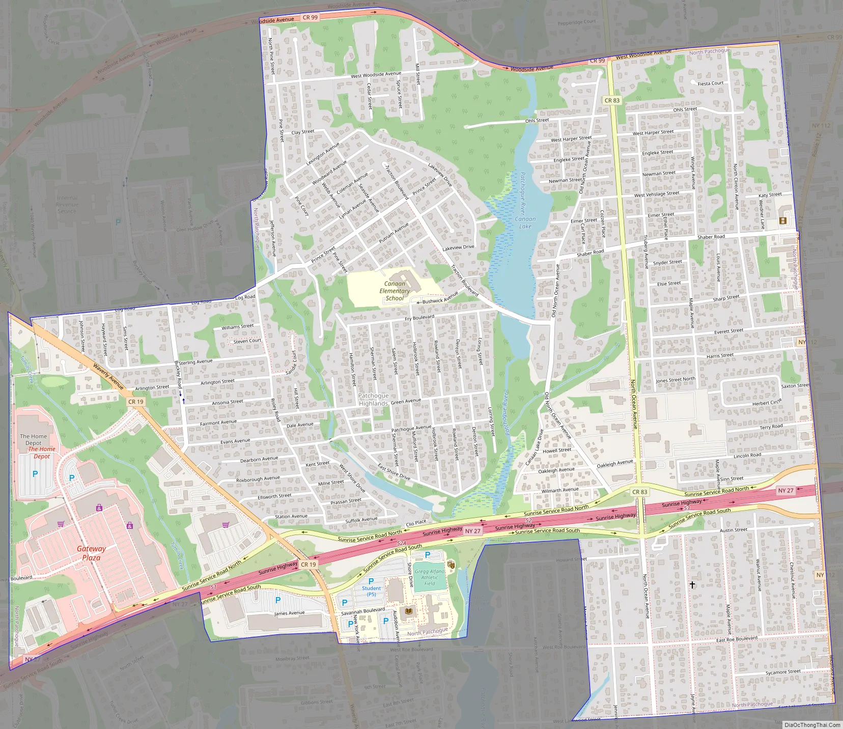
North Patchogue Road Map
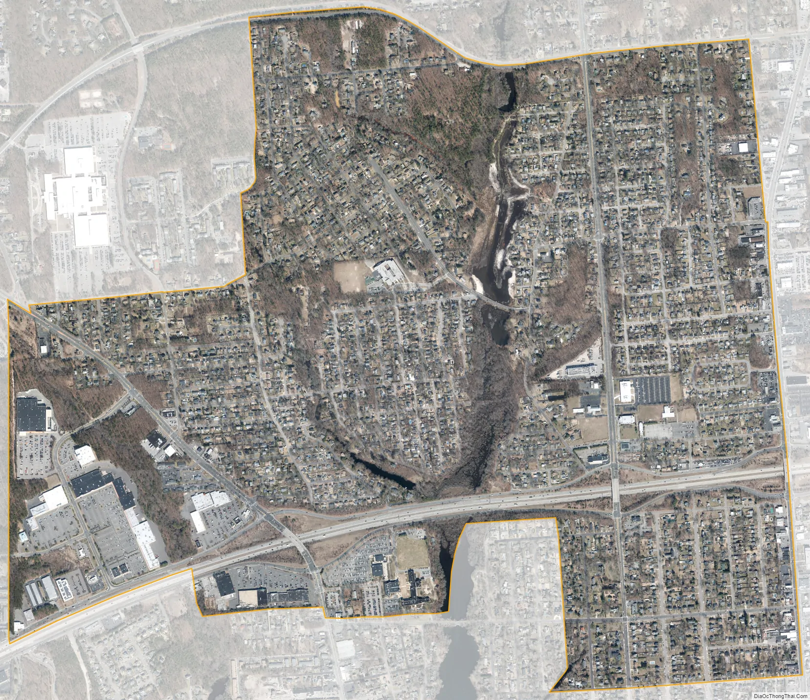
North Patchogue city Satellite Map
Geography
According to the United States Census Bureau, the CDP has a total area of 2.0 square miles (5.3 km), of which 2.0 square miles (5.1 km) is land and 0.04 square miles (0.1 km), or 2.57%, is water.
North Patchogue is near the interchange of NY-27 (Sunrise Highway), and NY-112 (Medford Avenue).
It is also the home of two waterways that flow into the Patchogue Lake and River, one of which is Canaan Lake.
See also
Map of New York State and its subdivision:- Albany
- Allegany
- Bronx
- Broome
- Cattaraugus
- Cayuga
- Chautauqua
- Chemung
- Chenango
- Clinton
- Columbia
- Cortland
- Delaware
- Dutchess
- Erie
- Essex
- Franklin
- Fulton
- Genesee
- Greene
- Hamilton
- Herkimer
- Jefferson
- Kings
- Lake Ontario
- Lewis
- Livingston
- Madison
- Monroe
- Montgomery
- Nassau
- New York
- Niagara
- Oneida
- Onondaga
- Ontario
- Orange
- Orleans
- Oswego
- Otsego
- Putnam
- Queens
- Rensselaer
- Richmond
- Rockland
- Saint Lawrence
- Saratoga
- Schenectady
- Schoharie
- Schuyler
- Seneca
- Steuben
- Suffolk
- Sullivan
- Tioga
- Tompkins
- Ulster
- Warren
- Washington
- Wayne
- Westchester
- Wyoming
- Yates
- Alabama
- Alaska
- Arizona
- Arkansas
- California
- Colorado
- Connecticut
- Delaware
- District of Columbia
- Florida
- Georgia
- Hawaii
- Idaho
- Illinois
- Indiana
- Iowa
- Kansas
- Kentucky
- Louisiana
- Maine
- Maryland
- Massachusetts
- Michigan
- Minnesota
- Mississippi
- Missouri
- Montana
- Nebraska
- Nevada
- New Hampshire
- New Jersey
- New Mexico
- New York
- North Carolina
- North Dakota
- Ohio
- Oklahoma
- Oregon
- Pennsylvania
- Rhode Island
- South Carolina
- South Dakota
- Tennessee
- Texas
- Utah
- Vermont
- Virginia
- Washington
- West Virginia
- Wisconsin
- Wyoming


