North Valley Stream is a hamlet and census-designated place (CDP) in the Town of Hempstead in Nassau County, on Long Island, in New York, United States. The population was 16,628 at the 2010 census.
| Name: | North Valley Stream CDP |
|---|---|
| LSAD Code: | 57 |
| LSAD Description: | CDP (suffix) |
| State: | New York |
| County: | Nassau County |
| Elevation: | 36 ft (11 m) |
| Total Area: | 1.90 sq mi (4.91 km²) |
| Land Area: | 1.86 sq mi (4.83 km²) |
| Water Area: | 0.03 sq mi (0.08 km²) |
| Total Population: | 18,197 |
| Population Density: | 9,757.10/sq mi (3,767.72/km²) |
| ZIP code: | 11580 |
| Area code: | 516 |
| FIPS code: | 3653748 |
| GNISfeature ID: | 0958936 |
Online Interactive Map
Click on ![]() to view map in "full screen" mode.
to view map in "full screen" mode.
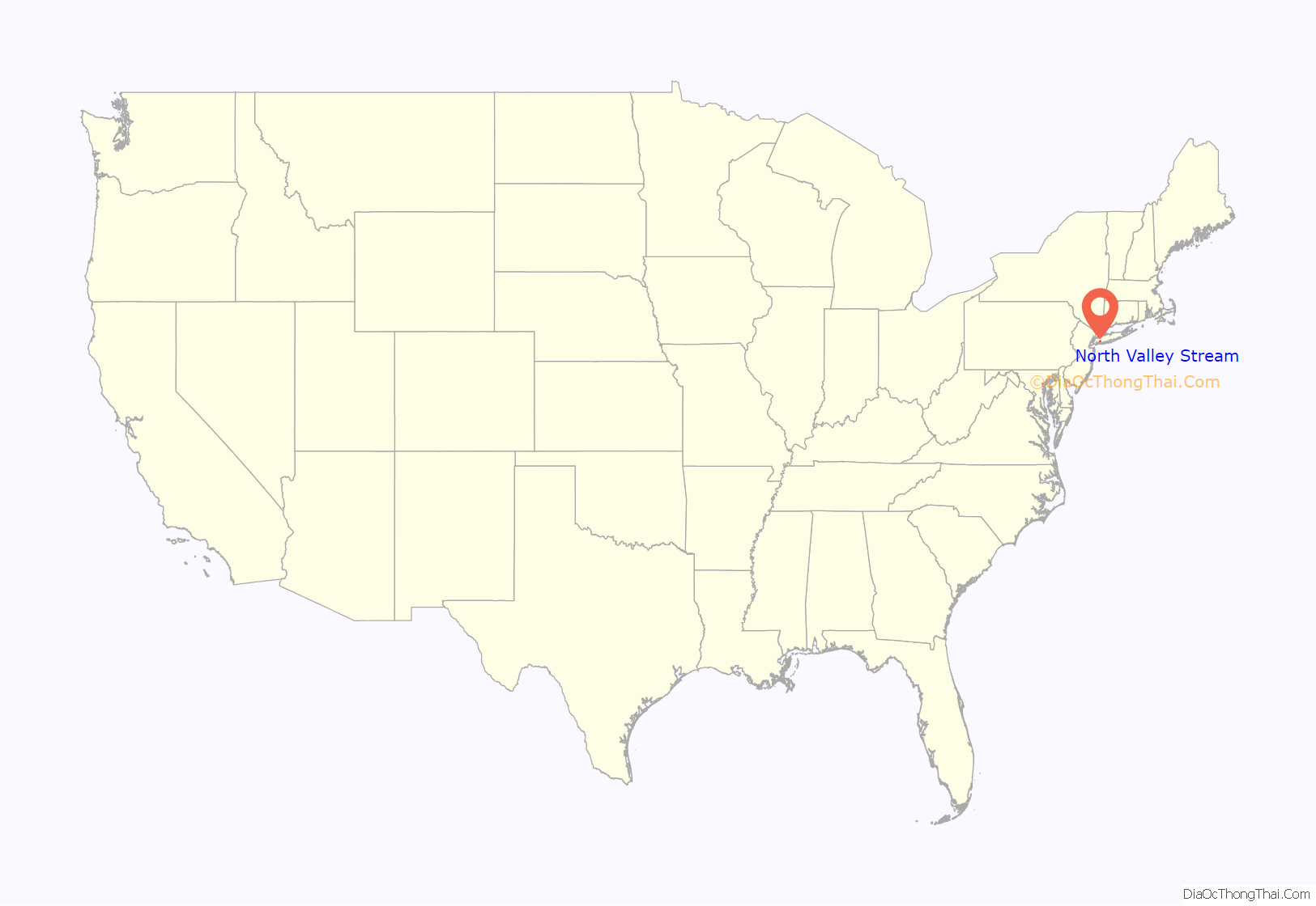
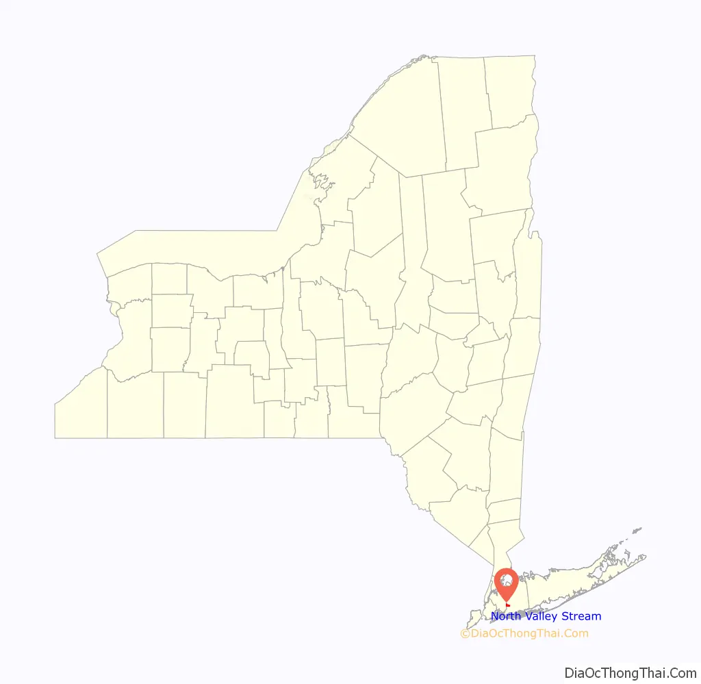
North Valley Stream location map. Where is North Valley Stream CDP?
History
North Valley Stream’s name reflects its location north of the Incorporated Village of Valley Stream.
In the 1950s, the Southern State Parkway was widened from four lanes to six in the hamlet. The project required roughly 213 North Valley Stream area homes located along the path to be moved or demolished.
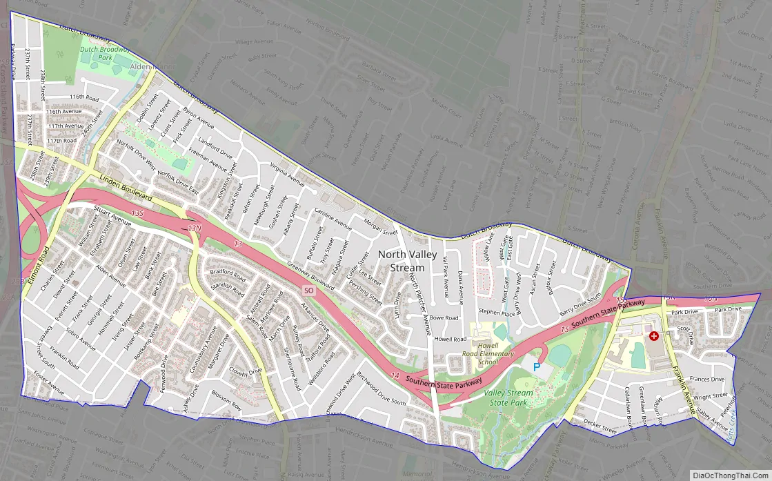
North Valley Stream Road Map
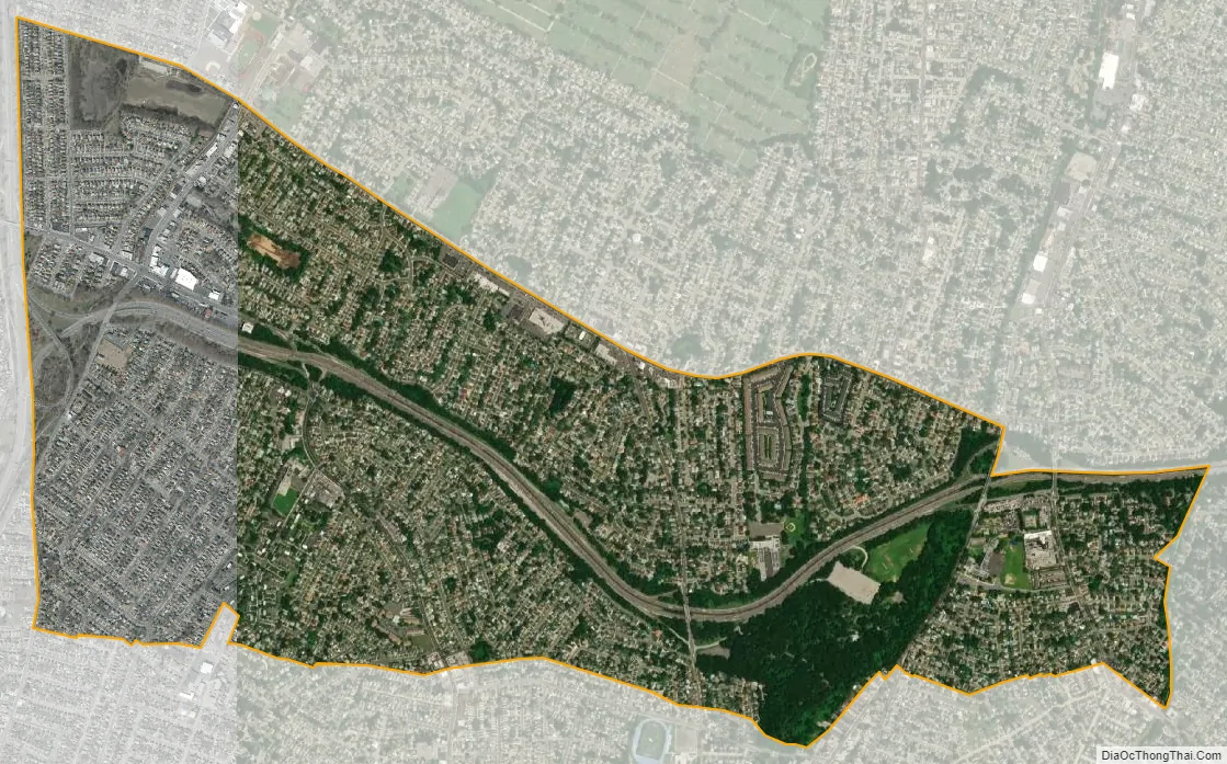
North Valley Stream city Satellite Map
Geography
According to the United States Census Bureau, the CDP has a total area of 1.9 square miles (4.9 km), all land.
See also
Map of New York State and its subdivision:- Albany
- Allegany
- Bronx
- Broome
- Cattaraugus
- Cayuga
- Chautauqua
- Chemung
- Chenango
- Clinton
- Columbia
- Cortland
- Delaware
- Dutchess
- Erie
- Essex
- Franklin
- Fulton
- Genesee
- Greene
- Hamilton
- Herkimer
- Jefferson
- Kings
- Lake Ontario
- Lewis
- Livingston
- Madison
- Monroe
- Montgomery
- Nassau
- New York
- Niagara
- Oneida
- Onondaga
- Ontario
- Orange
- Orleans
- Oswego
- Otsego
- Putnam
- Queens
- Rensselaer
- Richmond
- Rockland
- Saint Lawrence
- Saratoga
- Schenectady
- Schoharie
- Schuyler
- Seneca
- Steuben
- Suffolk
- Sullivan
- Tioga
- Tompkins
- Ulster
- Warren
- Washington
- Wayne
- Westchester
- Wyoming
- Yates
- Alabama
- Alaska
- Arizona
- Arkansas
- California
- Colorado
- Connecticut
- Delaware
- District of Columbia
- Florida
- Georgia
- Hawaii
- Idaho
- Illinois
- Indiana
- Iowa
- Kansas
- Kentucky
- Louisiana
- Maine
- Maryland
- Massachusetts
- Michigan
- Minnesota
- Mississippi
- Missouri
- Montana
- Nebraska
- Nevada
- New Hampshire
- New Jersey
- New Mexico
- New York
- North Carolina
- North Dakota
- Ohio
- Oklahoma
- Oregon
- Pennsylvania
- Rhode Island
- South Carolina
- South Dakota
- Tennessee
- Texas
- Utah
- Vermont
- Virginia
- Washington
- West Virginia
- Wisconsin
- Wyoming


