North Wantagh is a hamlet and census-designated place in the Town of Hempstead in Nassau County, on the South Shore of Long Island, in New York, United States. The population was 11,960 at the 2010 census.
| Name: | North Wantagh CDP |
|---|---|
| LSAD Code: | 57 |
| LSAD Description: | CDP (suffix) |
| State: | New York |
| County: | Nassau County |
| Elevation: | 33 ft (10 m) |
| Total Area: | 1.91 sq mi (4.95 km²) |
| Land Area: | 1.90 sq mi (4.93 km²) |
| Water Area: | 0.01 sq mi (0.02 km²) |
| Total Population: | 11,931 |
| Population Density: | 6,269.57/sq mi (2,420.31/km²) |
| ZIP code: | 11783, 11793 |
| Area code: | 516 |
| FIPS code: | 3653792 |
| GNISfeature ID: | 0958941 |
| Website: | http://www.wantagh.li |
Online Interactive Map
Click on ![]() to view map in "full screen" mode.
to view map in "full screen" mode.
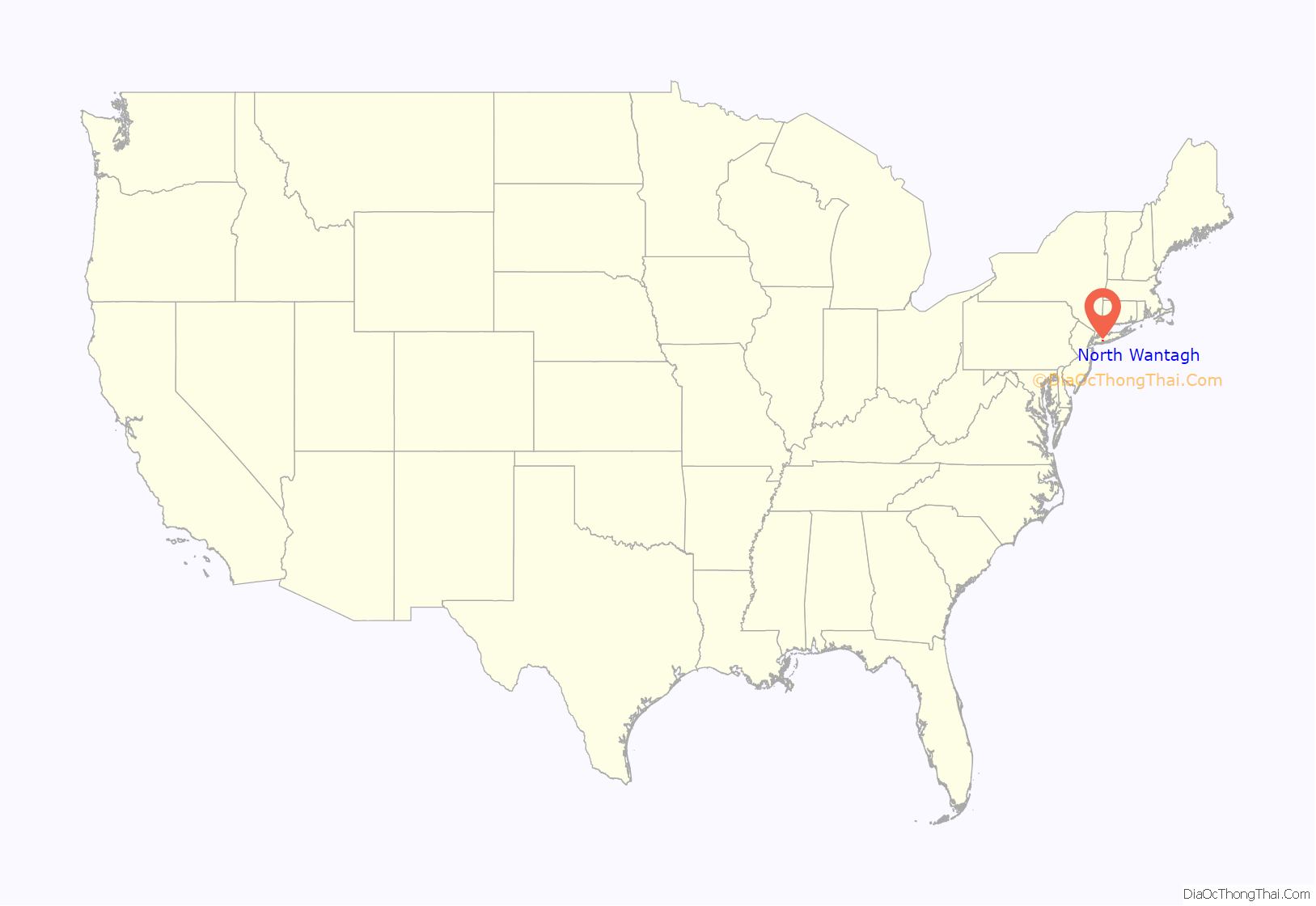
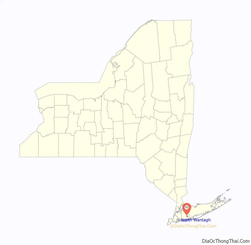
North Wantagh location map. Where is North Wantagh CDP?
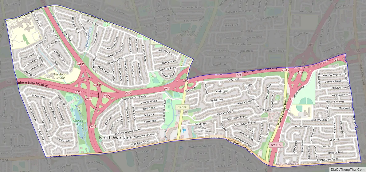
North Wantagh Road Map
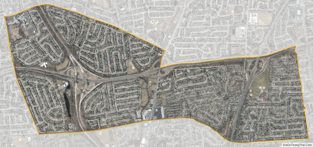
North Wantagh city Satellite Map
Geography
According to the United States Census Bureau, the CDP has a total area of 1.9 square miles (4.9 km), of which 1.8 square miles (4.7 km) is land and 0.54% is water.
Since North Wantagh does not have a post office of its own, all places in the hamlet have either a “Wantagh, NY 11793” or “Seaford, NY 11783″ mailing address. Non-conforming postal codes lead to a general misconception of the actual boundaries of this, and surrounding, areas. Parts of North Wantagh are more commonly referred to as simply “Wantagh” or “Seaford,” while school service is provided by Levittown.
See also
Map of New York State and its subdivision:- Albany
- Allegany
- Bronx
- Broome
- Cattaraugus
- Cayuga
- Chautauqua
- Chemung
- Chenango
- Clinton
- Columbia
- Cortland
- Delaware
- Dutchess
- Erie
- Essex
- Franklin
- Fulton
- Genesee
- Greene
- Hamilton
- Herkimer
- Jefferson
- Kings
- Lake Ontario
- Lewis
- Livingston
- Madison
- Monroe
- Montgomery
- Nassau
- New York
- Niagara
- Oneida
- Onondaga
- Ontario
- Orange
- Orleans
- Oswego
- Otsego
- Putnam
- Queens
- Rensselaer
- Richmond
- Rockland
- Saint Lawrence
- Saratoga
- Schenectady
- Schoharie
- Schuyler
- Seneca
- Steuben
- Suffolk
- Sullivan
- Tioga
- Tompkins
- Ulster
- Warren
- Washington
- Wayne
- Westchester
- Wyoming
- Yates
- Alabama
- Alaska
- Arizona
- Arkansas
- California
- Colorado
- Connecticut
- Delaware
- District of Columbia
- Florida
- Georgia
- Hawaii
- Idaho
- Illinois
- Indiana
- Iowa
- Kansas
- Kentucky
- Louisiana
- Maine
- Maryland
- Massachusetts
- Michigan
- Minnesota
- Mississippi
- Missouri
- Montana
- Nebraska
- Nevada
- New Hampshire
- New Jersey
- New Mexico
- New York
- North Carolina
- North Dakota
- Ohio
- Oklahoma
- Oregon
- Pennsylvania
- Rhode Island
- South Carolina
- South Dakota
- Tennessee
- Texas
- Utah
- Vermont
- Virginia
- Washington
- West Virginia
- Wisconsin
- Wyoming


