Northampton (/ˈnɔːrθæmptən, ˈnɔːrð-/) is a hamlet and census-designated place (CDP) in Suffolk County, New York, United States on Long Island. The CDP population was 570 at the 2010 census.
Northampton is in the Town of Southampton. The Eastern Campus of Suffolk County Community College is located in Northampton.
| Name: | Northampton CDP |
|---|---|
| LSAD Code: | 57 |
| LSAD Description: | CDP (suffix) |
| State: | New York |
| County: | Suffolk County |
| Total Area: | 11.47 sq mi (29.70 km²) |
| Land Area: | 11.37 sq mi (29.44 km²) |
| Water Area: | 0.10 sq mi (0.26 km²) |
| Total Population: | 763 |
| Population Density: | 67.12/sq mi (25.91/km²) |
| FIPS code: | 3651418 |
Online Interactive Map
Click on ![]() to view map in "full screen" mode.
to view map in "full screen" mode.
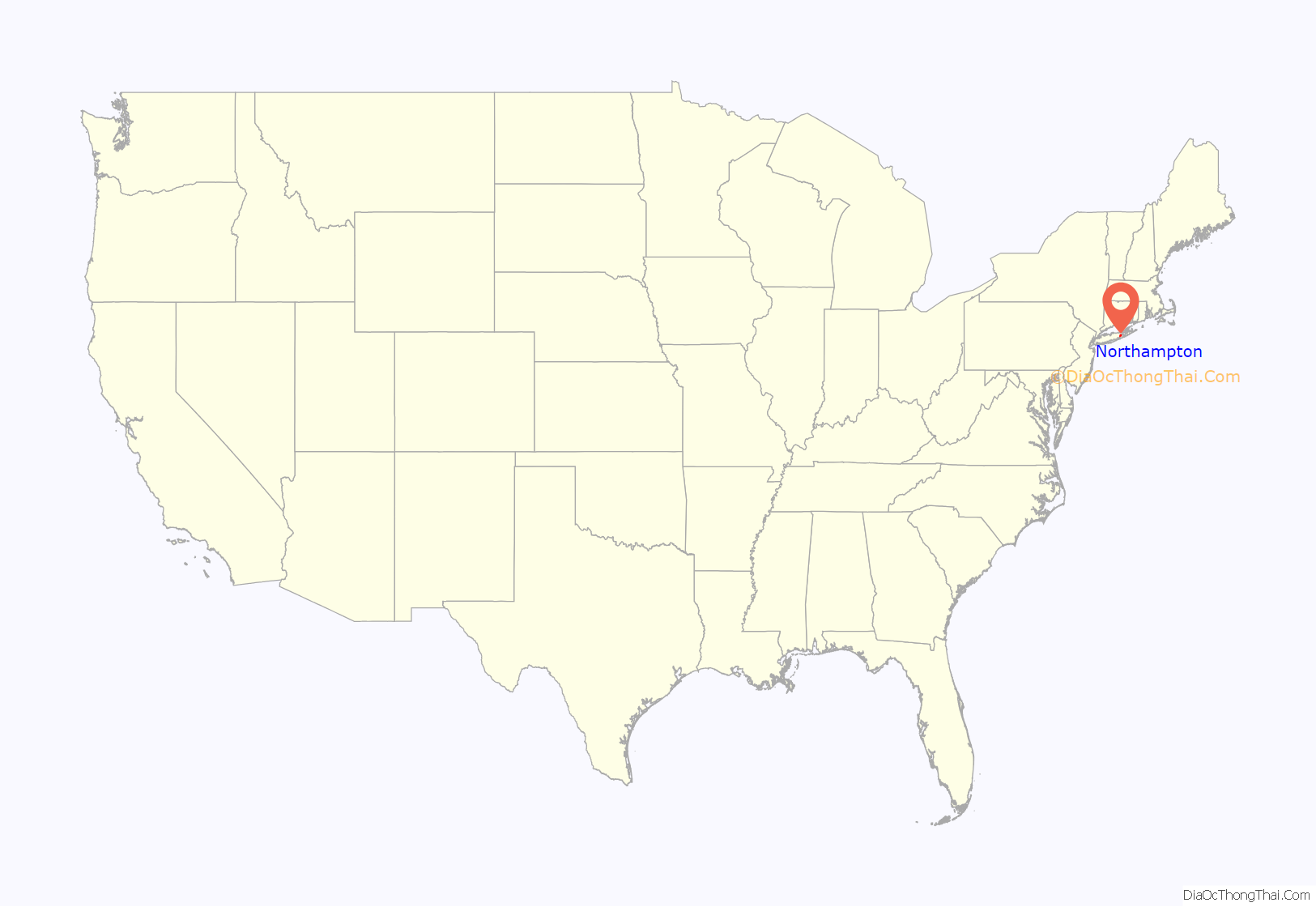
Northampton location map. Where is Northampton CDP?
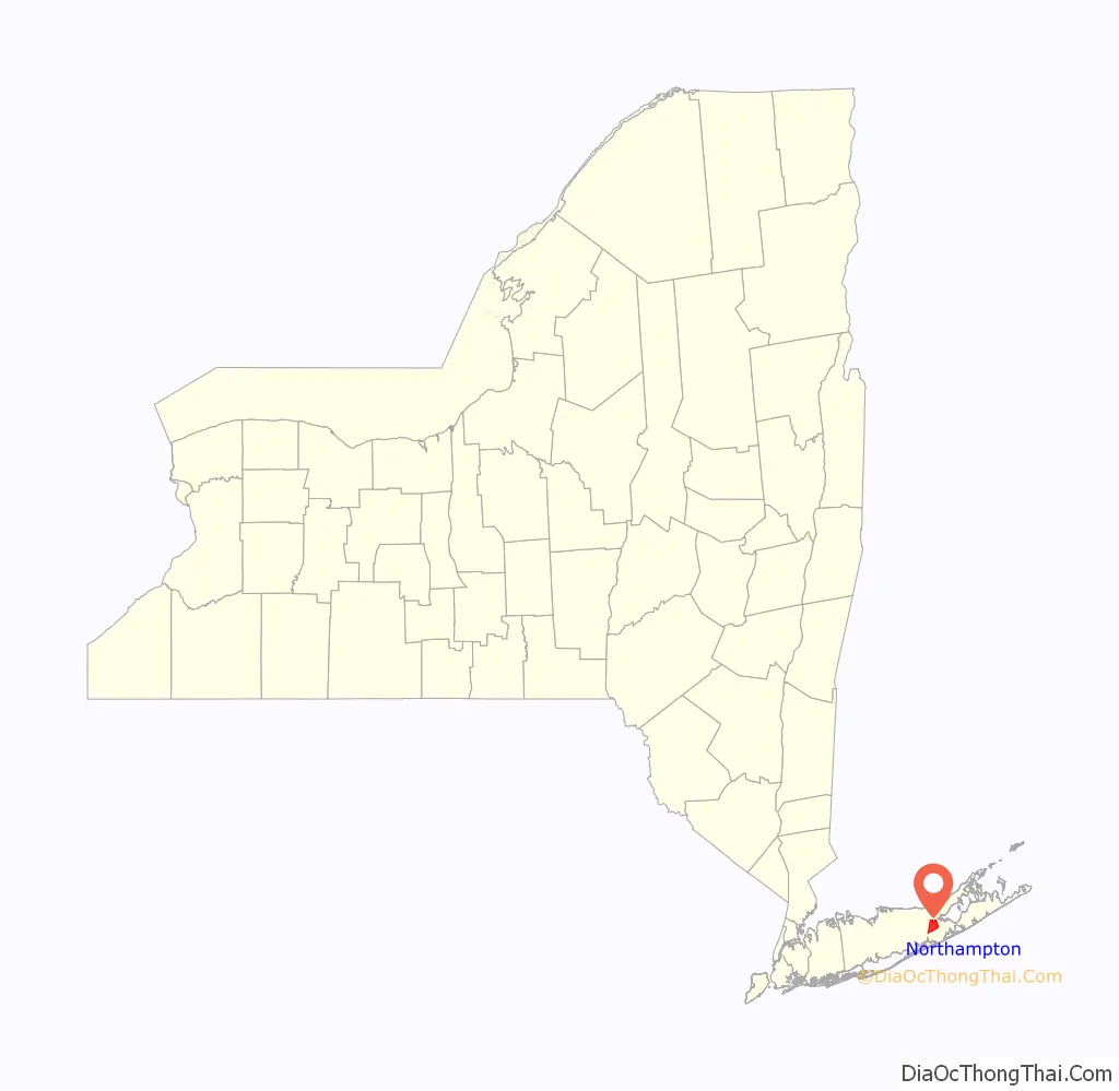
Northampton Road Map
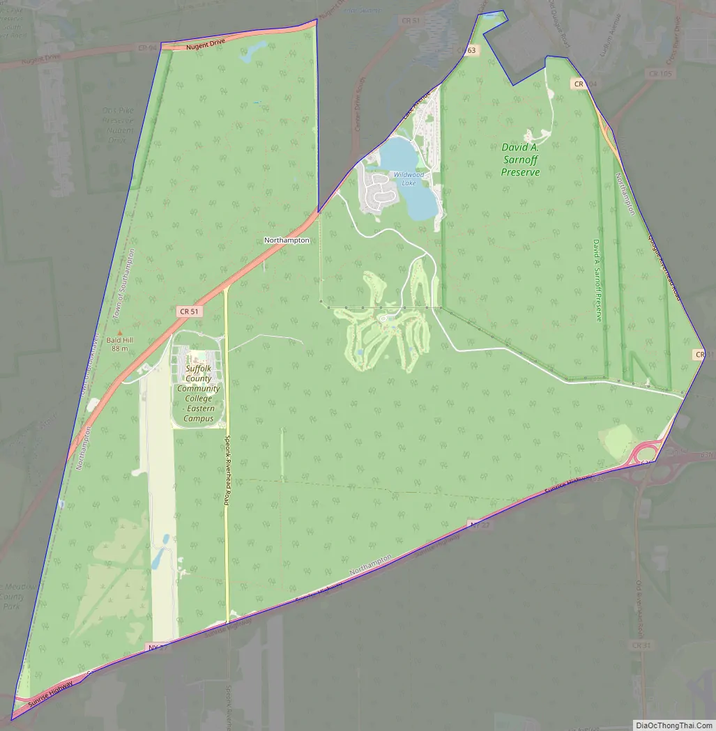
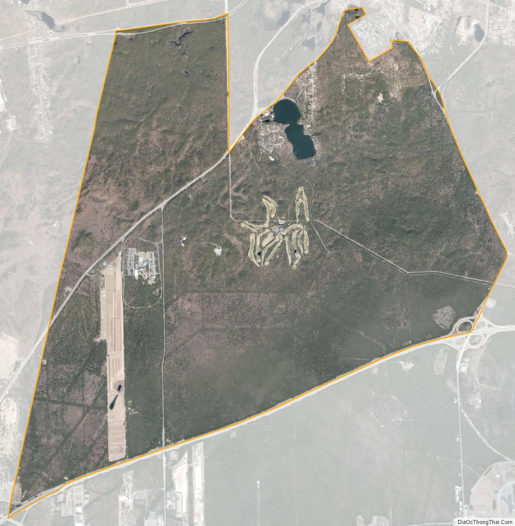
Northampton city Satellite Map
Geography
Northampton is at 40°52′47″N 72°41′49″W / 40.87972°N 72.69694°W / 40.87972; -72.69694 (40.879853, -72.696948).
According to the United States Census Bureau, the CDP has a total area of 11.7 square miles (30.2 km), of which 11.5 square miles (29.9 km) is land and 0.12 square miles (0.3 km), or 0.86%, is water.
The CDP was created for the 2000 census and includes part of the former village of Pine Valley, which disincorporated in 1991.
See also
Map of New York State and its subdivision:- Albany
- Allegany
- Bronx
- Broome
- Cattaraugus
- Cayuga
- Chautauqua
- Chemung
- Chenango
- Clinton
- Columbia
- Cortland
- Delaware
- Dutchess
- Erie
- Essex
- Franklin
- Fulton
- Genesee
- Greene
- Hamilton
- Herkimer
- Jefferson
- Kings
- Lake Ontario
- Lewis
- Livingston
- Madison
- Monroe
- Montgomery
- Nassau
- New York
- Niagara
- Oneida
- Onondaga
- Ontario
- Orange
- Orleans
- Oswego
- Otsego
- Putnam
- Queens
- Rensselaer
- Richmond
- Rockland
- Saint Lawrence
- Saratoga
- Schenectady
- Schoharie
- Schuyler
- Seneca
- Steuben
- Suffolk
- Sullivan
- Tioga
- Tompkins
- Ulster
- Warren
- Washington
- Wayne
- Westchester
- Wyoming
- Yates
- Alabama
- Alaska
- Arizona
- Arkansas
- California
- Colorado
- Connecticut
- Delaware
- District of Columbia
- Florida
- Georgia
- Hawaii
- Idaho
- Illinois
- Indiana
- Iowa
- Kansas
- Kentucky
- Louisiana
- Maine
- Maryland
- Massachusetts
- Michigan
- Minnesota
- Mississippi
- Missouri
- Montana
- Nebraska
- Nevada
- New Hampshire
- New Jersey
- New Mexico
- New York
- North Carolina
- North Dakota
- Ohio
- Oklahoma
- Oregon
- Pennsylvania
- Rhode Island
- South Carolina
- South Dakota
- Tennessee
- Texas
- Utah
- Vermont
- Virginia
- Washington
- West Virginia
- Wisconsin
- Wyoming


