Northville is a hamlet and census-designated place (CDP) in the Town of Riverhead in Suffolk County, on Long Island, in New York, United States. The CDP population was 1,340 at the 2010 census. Between 1921 and 1930, it was an incorporated village known originally as the Incorporated Village of Sound Avenue, and from 1927 to 1930 as the Incorporated Village of Northville.
| Name: | Northville CDP |
|---|---|
| LSAD Code: | 57 |
| LSAD Description: | CDP (suffix) |
| State: | New York |
| County: | Suffolk County |
| Incorporated: | 1921 |
| Total Area: | 9.65 sq mi (24.99 km²) |
| Land Area: | 7.40 sq mi (19.16 km²) |
| Water Area: | 2.25 sq mi (5.83 km²) |
| Total Population: | 1,566 |
| Population Density: | 211.68/sq mi (81.73/km²) |
| FIPS code: | 3653775 |
Online Interactive Map
Click on ![]() to view map in "full screen" mode.
to view map in "full screen" mode.
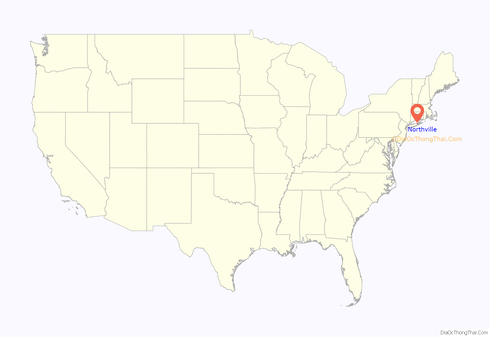
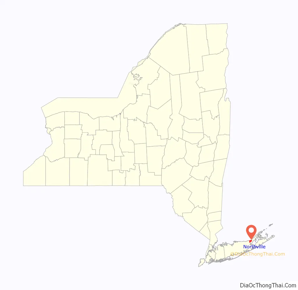
Northville location map. Where is Northville CDP?
History
Northville was an incorporated village between 1921 and 1930. The village incorporated in 1921 as the Incorporated Village of Sound Avenue, changing its name to the Incorporated Village of Northville in 1927.
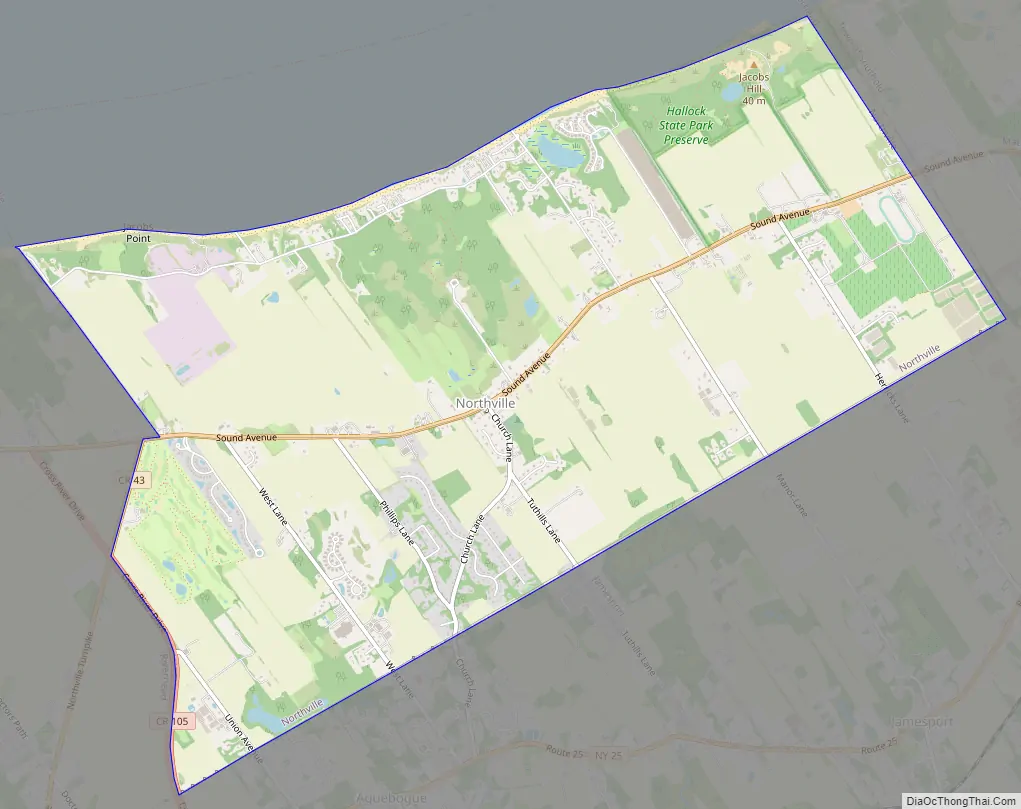
Northville Road Map
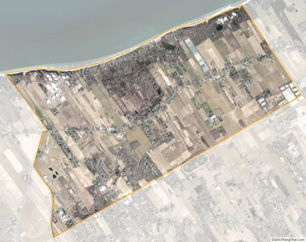
Northville city Satellite Map
Geography
According to the United States Census Bureau, the CDP has a total area of 7.4 square miles (19.2 km), of which 0.02 square miles (0.05 km), or 0.28%, is water.
See also
Map of New York State and its subdivision:- Albany
- Allegany
- Bronx
- Broome
- Cattaraugus
- Cayuga
- Chautauqua
- Chemung
- Chenango
- Clinton
- Columbia
- Cortland
- Delaware
- Dutchess
- Erie
- Essex
- Franklin
- Fulton
- Genesee
- Greene
- Hamilton
- Herkimer
- Jefferson
- Kings
- Lake Ontario
- Lewis
- Livingston
- Madison
- Monroe
- Montgomery
- Nassau
- New York
- Niagara
- Oneida
- Onondaga
- Ontario
- Orange
- Orleans
- Oswego
- Otsego
- Putnam
- Queens
- Rensselaer
- Richmond
- Rockland
- Saint Lawrence
- Saratoga
- Schenectady
- Schoharie
- Schuyler
- Seneca
- Steuben
- Suffolk
- Sullivan
- Tioga
- Tompkins
- Ulster
- Warren
- Washington
- Wayne
- Westchester
- Wyoming
- Yates
- Alabama
- Alaska
- Arizona
- Arkansas
- California
- Colorado
- Connecticut
- Delaware
- District of Columbia
- Florida
- Georgia
- Hawaii
- Idaho
- Illinois
- Indiana
- Iowa
- Kansas
- Kentucky
- Louisiana
- Maine
- Maryland
- Massachusetts
- Michigan
- Minnesota
- Mississippi
- Missouri
- Montana
- Nebraska
- Nevada
- New Hampshire
- New Jersey
- New Mexico
- New York
- North Carolina
- North Dakota
- Ohio
- Oklahoma
- Oregon
- Pennsylvania
- Rhode Island
- South Carolina
- South Dakota
- Tennessee
- Texas
- Utah
- Vermont
- Virginia
- Washington
- West Virginia
- Wisconsin
- Wyoming


