Northwest Harbor is a hamlet and census-designated place (CDP) in the Town of East Hampton, Suffolk County, New York, United States. The population was 3,317 at the 2010 census.
It is named for the bay on the South Fork of Long Island connecting Sag Harbor, Shelter Island and the town of East Hampton to Gardiners Bay and the open waters of the Atlantic Ocean. The bay derives its name from being northwest of East Hampton village. The name “Northwest Harbor” is applied to the Northwest Woods neighborhood (sometimes shortened to simply “Northwest”) of the town of East Hampton. It is also applied to Northwest Landing at Northwest Creek (a saltwater outlet from the inlet to the harbor) which was the first port for East Hampton and which became a major whaling port in the late 17th and early 18th centuries until it was replaced by Sag Harbor two miles to the west of the landing, where the water was deeper. Ships of Sag Harbor must pass through Northwest Harbor at the Cedar Point Lighthouse in order to reach Gardiners Bay and the open ocean.
During the American Revolution it was the site of two conflicts, including Meigs Raid in which Americans burned Sag Harbor and captured 90 British soldiers and an incident in which Isaac Van Scoy killed a British soldier with a pitchfork. The British were to conduct another raid during the War of 1812.
During the Great Hurricane of 1938 sand all but enclosed the harbor at its mouth at the Cedar Point Lighthouse, leaving only a narrow channel into Gardiners Bay.
In January 2007 Northwest Landing made national news in efforts to save several common dolphins that had swum up the creek.
| Name: | Northwest Harbor CDP |
|---|---|
| LSAD Code: | 57 |
| LSAD Description: | CDP (suffix) |
| State: | New York |
| County: | Suffolk County |
| Elevation: | 79 ft (24 m) |
| Total Area: | 20.05 sq mi (51.93 km²) |
| Land Area: | 14.48 sq mi (37.49 km²) |
| Water Area: | 5.57 sq mi (14.43 km²) |
| Total Population: | 4,637 |
| Population Density: | 320.32/sq mi (123.68/km²) |
| FIPS code: | 3653852 |
| GNISfeature ID: | 1867412 |
Online Interactive Map
Click on ![]() to view map in "full screen" mode.
to view map in "full screen" mode.
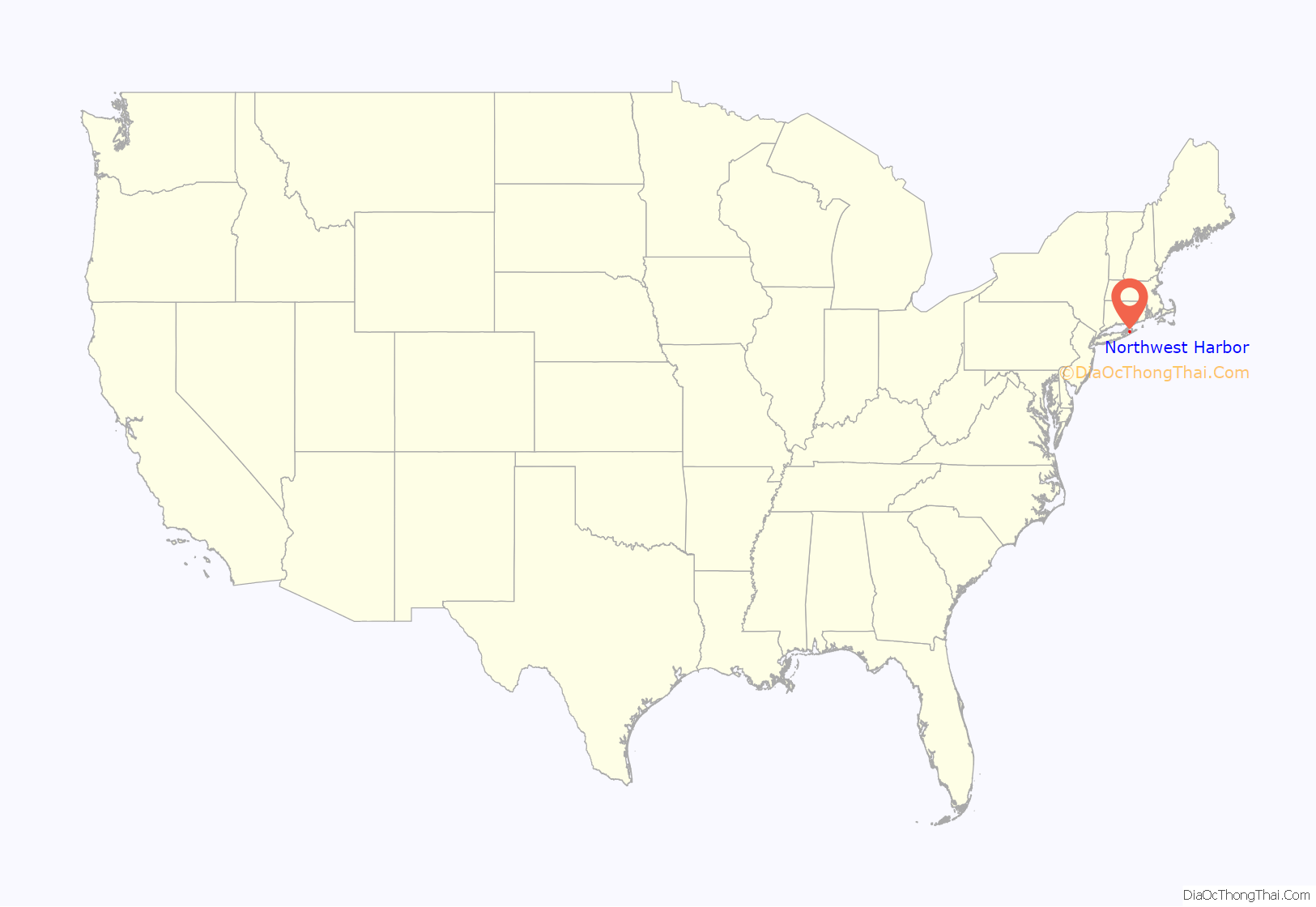
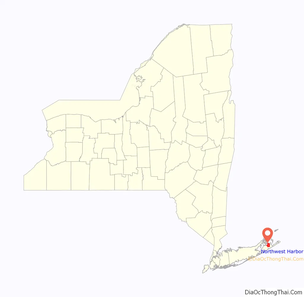
Northwest Harbor location map. Where is Northwest Harbor CDP?
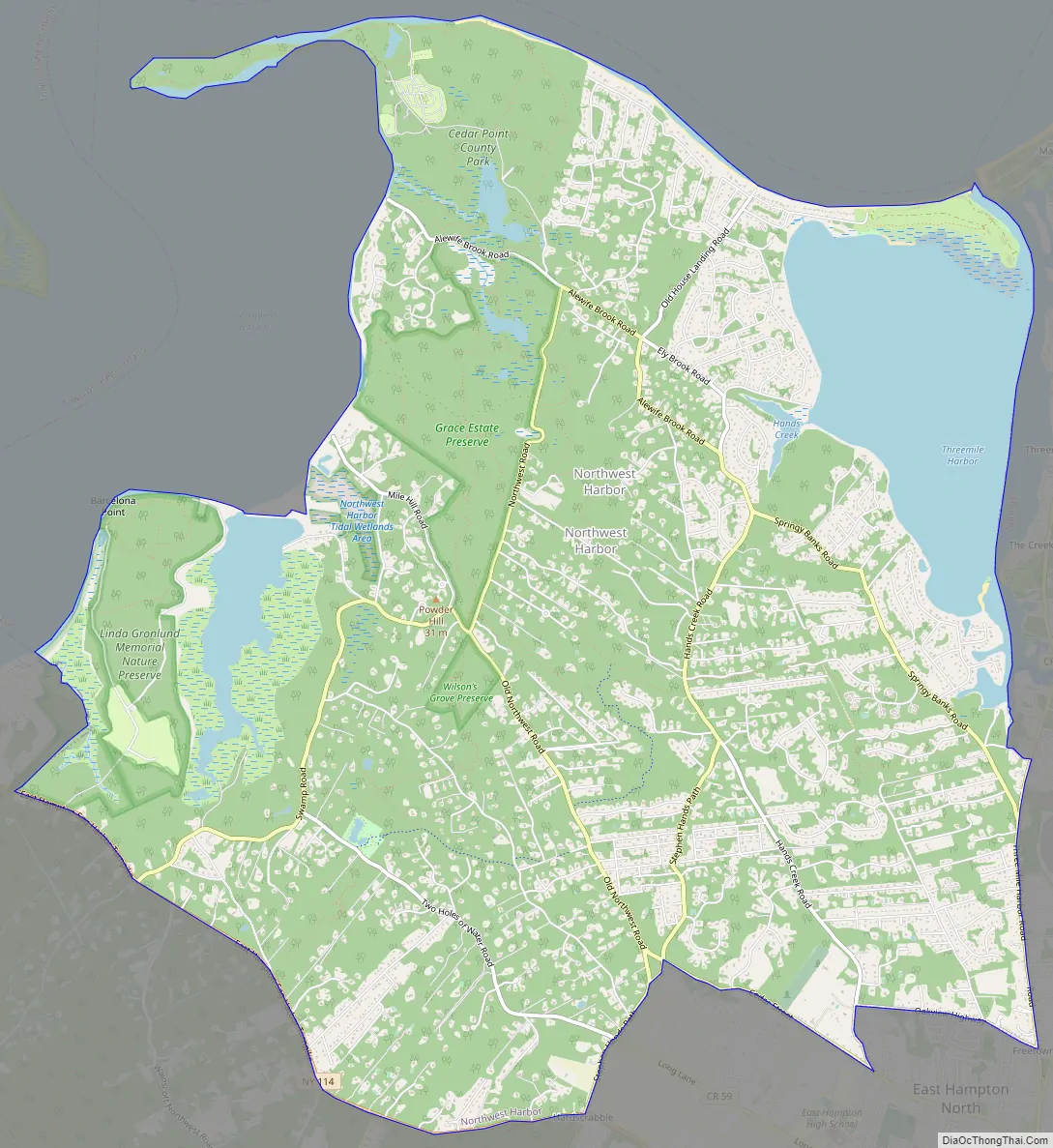
Northwest Harbor Road Map
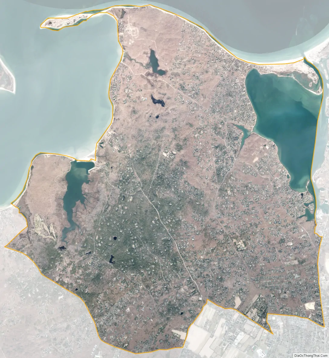
Northwest Harbor city Satellite Map
Geography
According to the United States Census Bureau, the CDP has a total area of 16.1 square miles (42 km), of which 14.5 square miles (38 km) is land and 1.6 square miles (4.1 km), or 9.81%, is water.
See also
Map of New York State and its subdivision:- Albany
- Allegany
- Bronx
- Broome
- Cattaraugus
- Cayuga
- Chautauqua
- Chemung
- Chenango
- Clinton
- Columbia
- Cortland
- Delaware
- Dutchess
- Erie
- Essex
- Franklin
- Fulton
- Genesee
- Greene
- Hamilton
- Herkimer
- Jefferson
- Kings
- Lake Ontario
- Lewis
- Livingston
- Madison
- Monroe
- Montgomery
- Nassau
- New York
- Niagara
- Oneida
- Onondaga
- Ontario
- Orange
- Orleans
- Oswego
- Otsego
- Putnam
- Queens
- Rensselaer
- Richmond
- Rockland
- Saint Lawrence
- Saratoga
- Schenectady
- Schoharie
- Schuyler
- Seneca
- Steuben
- Suffolk
- Sullivan
- Tioga
- Tompkins
- Ulster
- Warren
- Washington
- Wayne
- Westchester
- Wyoming
- Yates
- Alabama
- Alaska
- Arizona
- Arkansas
- California
- Colorado
- Connecticut
- Delaware
- District of Columbia
- Florida
- Georgia
- Hawaii
- Idaho
- Illinois
- Indiana
- Iowa
- Kansas
- Kentucky
- Louisiana
- Maine
- Maryland
- Massachusetts
- Michigan
- Minnesota
- Mississippi
- Missouri
- Montana
- Nebraska
- Nevada
- New Hampshire
- New Jersey
- New Mexico
- New York
- North Carolina
- North Dakota
- Ohio
- Oklahoma
- Oregon
- Pennsylvania
- Rhode Island
- South Carolina
- South Dakota
- Tennessee
- Texas
- Utah
- Vermont
- Virginia
- Washington
- West Virginia
- Wisconsin
- Wyoming


