Noyack (also Noyac) is a hamlet and census-designated place (CDP) in Suffolk County, New York, United States. The CDP population was 4,325 at the 2020 census.
Noyac is an Algonquin word meaning “a corner or point of land”. It is believed that it refers to Jessup Neck, granted to John Jessup in 1679.
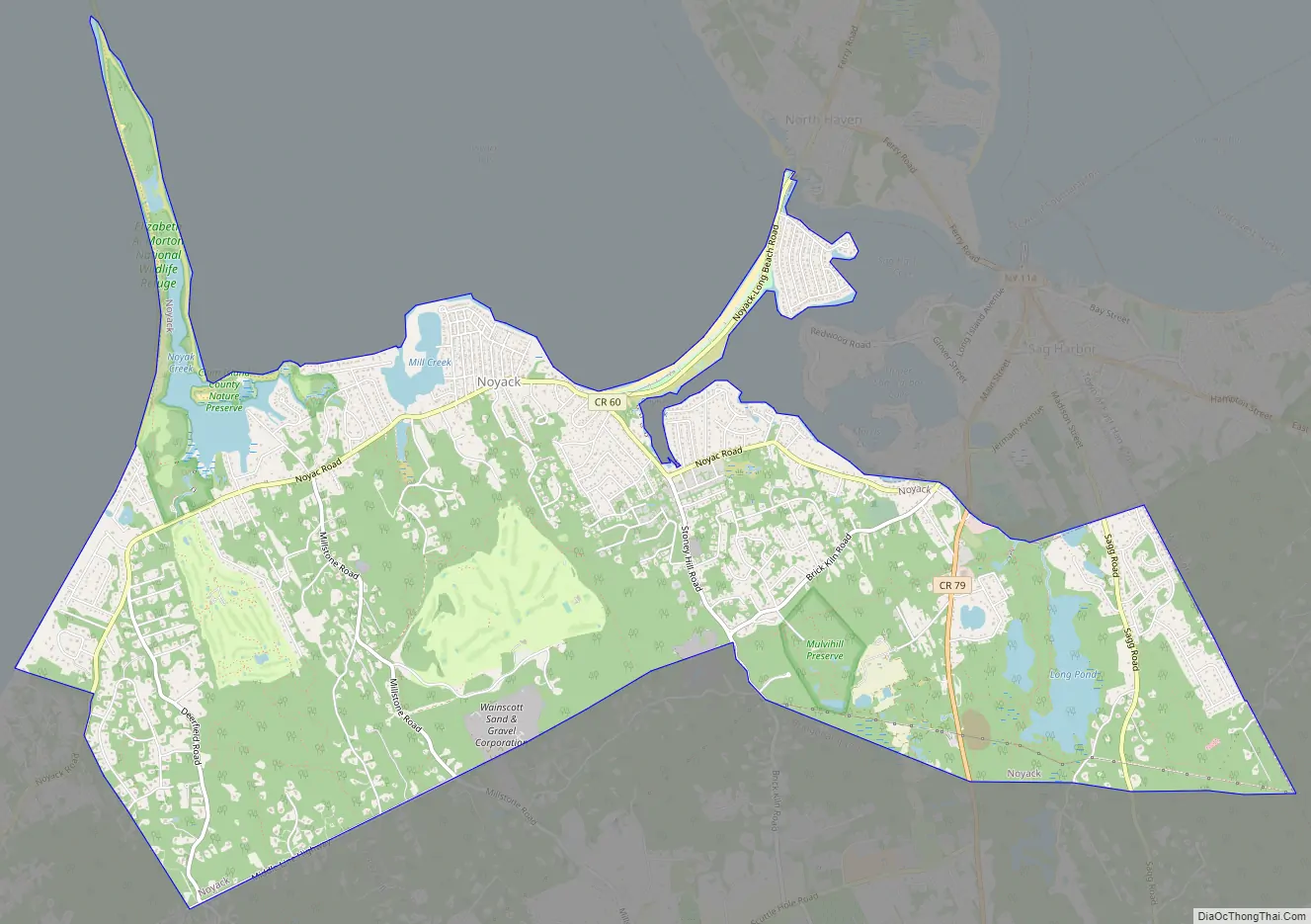
Noyac is located on the South Fork of Long Island in the Town of Southampton. The community is at the edge of Noyac Bay.
The William Cauldwell House was added to the National Register of Historic Places in 2009.
| Name: | Noyack CDP |
|---|---|
| LSAD Code: | 57 |
| LSAD Description: | CDP (suffix) |
| State: | New York |
| County: | Suffolk County |
| Elevation: | 26 ft (8 m) |
| Total Area: | 8.72 sq mi (22.58 km²) |
| Land Area: | 8.40 sq mi (21.75 km²) |
| Water Area: | 0.32 sq mi (0.84 km²) |
| Total Population: | 4,325 |
| Population Density: | 515.13/sq mi (198.88/km²) |
| FIPS code: | 3654056 |
| GNISfeature ID: | 0959050 |
Online Interactive Map
Click on ![]() to view map in "full screen" mode.
to view map in "full screen" mode.
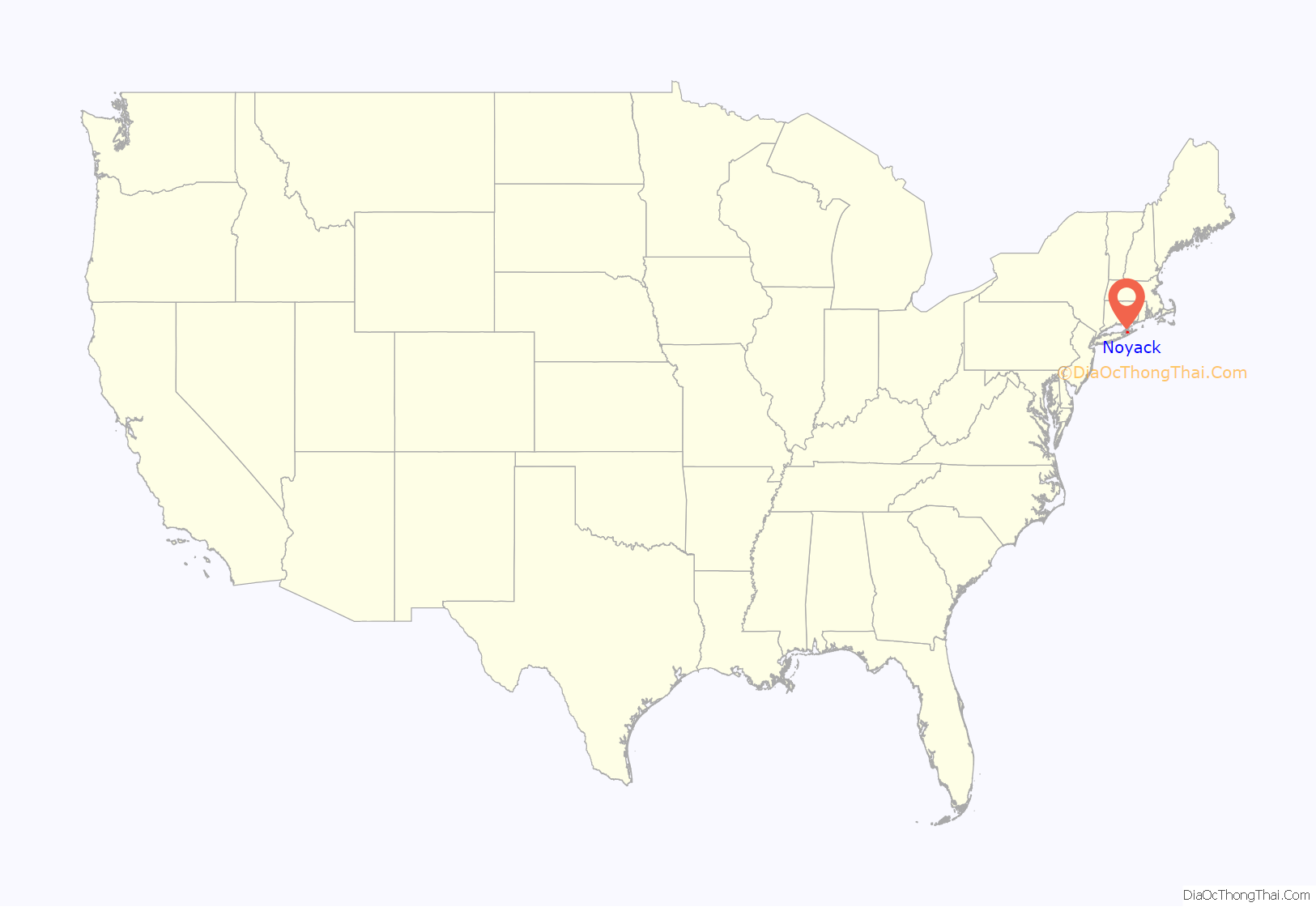
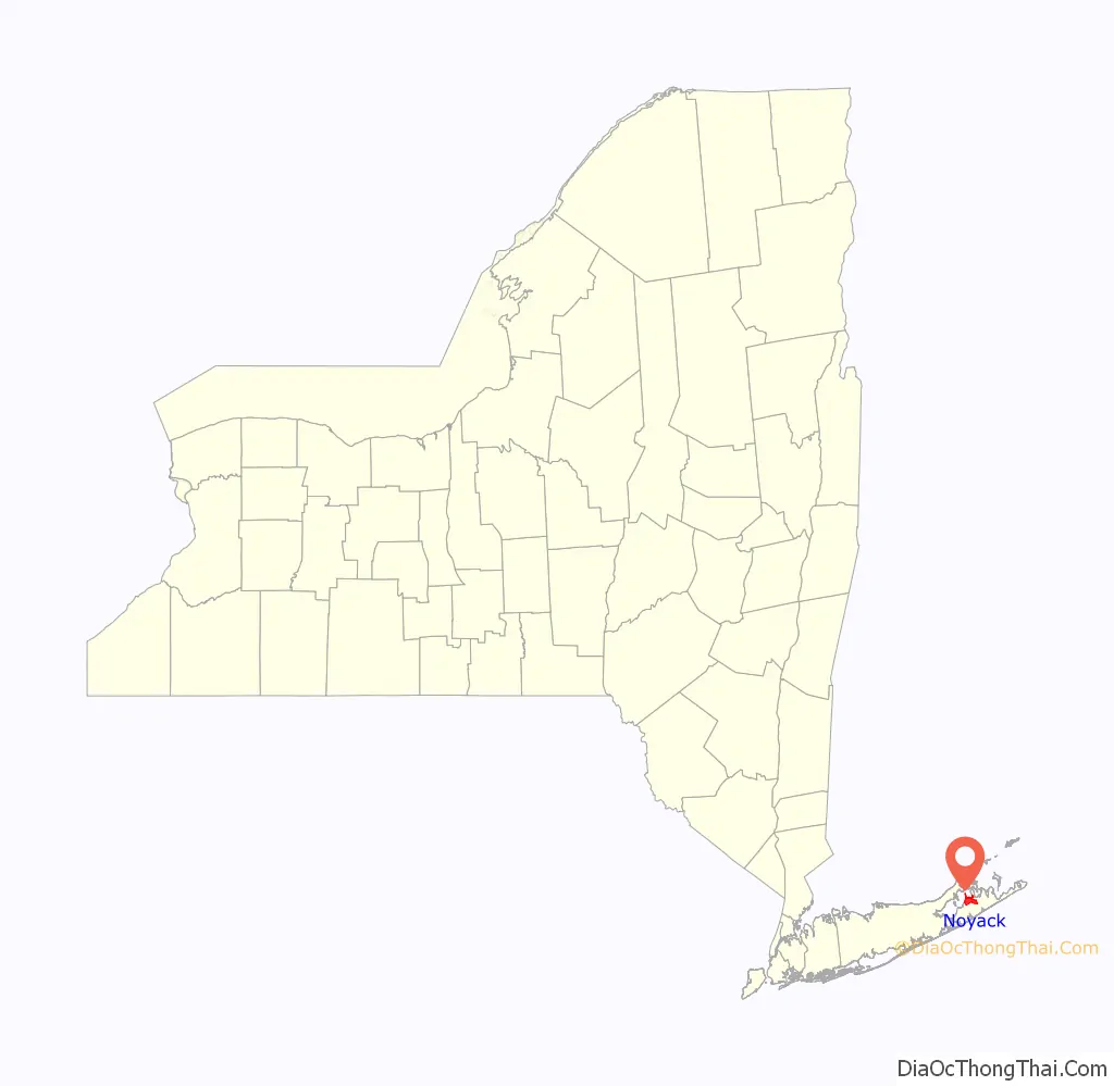
Noyack location map. Where is Noyack CDP?
Noyack Road Map
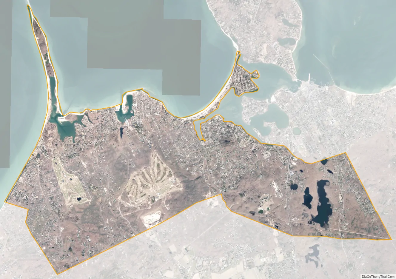
Noyack city Satellite Map
Geography
Noyac is located at 40°59′28″N 72°20′4″W / 40.99111°N 72.33444°W / 40.99111; -72.33444 (40.991160, -72.334417).
According to the United States Census Bureau, the Noyac CDP has a total area of 8.7 square miles (22.6 km), of which 8.4 square miles (21.8 km) is land and 0.31 square miles (0.8 km), or 3.70%, is water.
See also
Map of New York State and its subdivision:- Albany
- Allegany
- Bronx
- Broome
- Cattaraugus
- Cayuga
- Chautauqua
- Chemung
- Chenango
- Clinton
- Columbia
- Cortland
- Delaware
- Dutchess
- Erie
- Essex
- Franklin
- Fulton
- Genesee
- Greene
- Hamilton
- Herkimer
- Jefferson
- Kings
- Lake Ontario
- Lewis
- Livingston
- Madison
- Monroe
- Montgomery
- Nassau
- New York
- Niagara
- Oneida
- Onondaga
- Ontario
- Orange
- Orleans
- Oswego
- Otsego
- Putnam
- Queens
- Rensselaer
- Richmond
- Rockland
- Saint Lawrence
- Saratoga
- Schenectady
- Schoharie
- Schuyler
- Seneca
- Steuben
- Suffolk
- Sullivan
- Tioga
- Tompkins
- Ulster
- Warren
- Washington
- Wayne
- Westchester
- Wyoming
- Yates
- Alabama
- Alaska
- Arizona
- Arkansas
- California
- Colorado
- Connecticut
- Delaware
- District of Columbia
- Florida
- Georgia
- Hawaii
- Idaho
- Illinois
- Indiana
- Iowa
- Kansas
- Kentucky
- Louisiana
- Maine
- Maryland
- Massachusetts
- Michigan
- Minnesota
- Mississippi
- Missouri
- Montana
- Nebraska
- Nevada
- New Hampshire
- New Jersey
- New Mexico
- New York
- North Carolina
- North Dakota
- Ohio
- Oklahoma
- Oregon
- Pennsylvania
- Rhode Island
- South Carolina
- South Dakota
- Tennessee
- Texas
- Utah
- Vermont
- Virginia
- Washington
- West Virginia
- Wisconsin
- Wyoming


