Nunda /nʌnˈdeɪ/ is a village in the town of Nunda, Livingston County, New York, United States. The population of the village was 1,377 at the 2010 census, out of 3,064 in the entire town.
| Name: | Nunda village |
|---|---|
| LSAD Code: | 47 |
| LSAD Description: | village (suffix) |
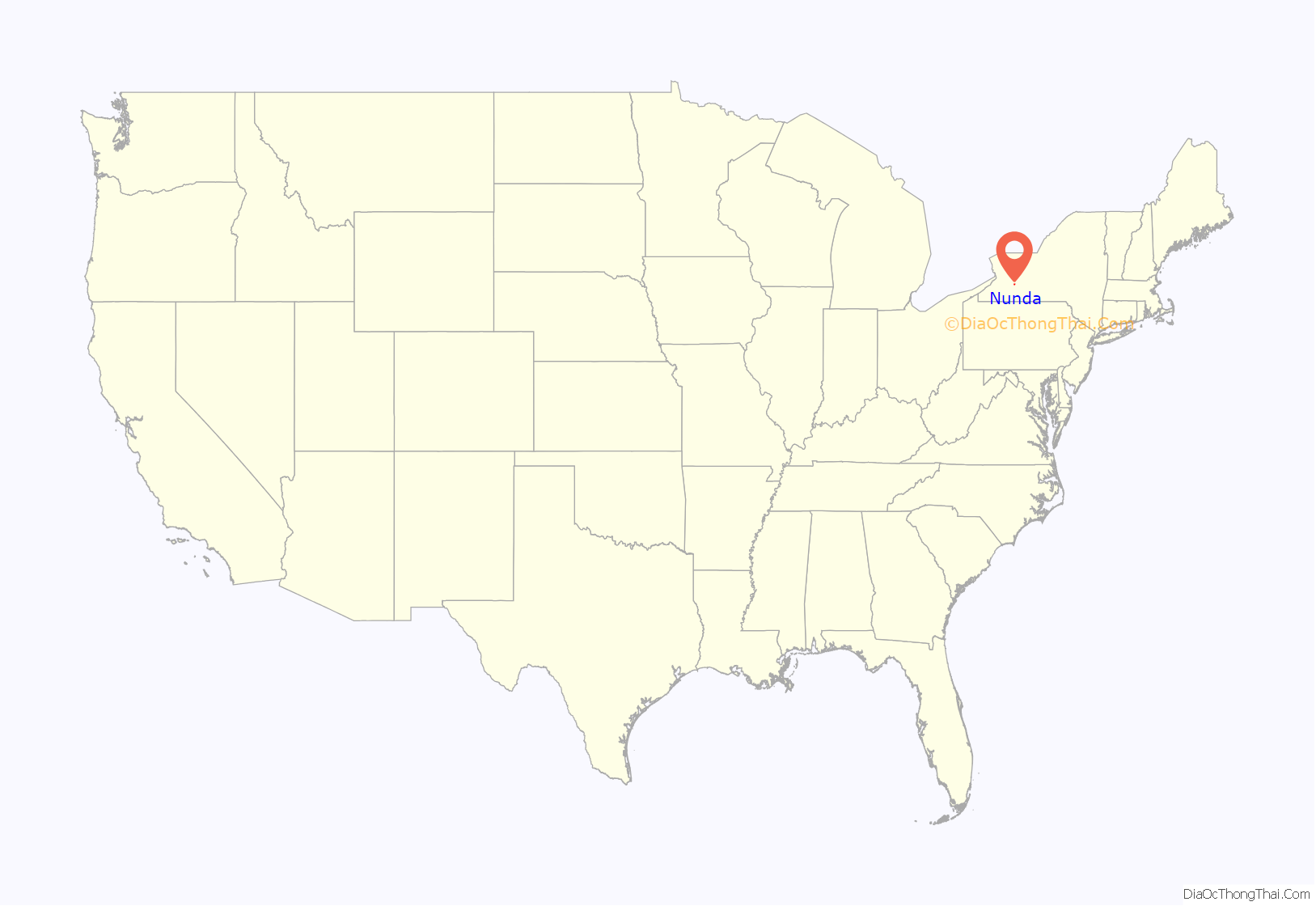
| State: | New York |
| County: | Livingston County |
| Elevation: | 942 ft (287 m) |
| Total Area: | 0.98 sq mi (2.53 km²) |
| Land Area: | 0.98 sq mi (2.53 km²) |
| Water Area: | 0.00 sq mi (0.00 km²) |
| Total Population: | 1,169 |
| Population Density: | 1,197.75/sq mi (462.31/km²) |
| ZIP code: | 14517 |
| Area code: | 585 |
| FIPS code: | 3654078 |
| GNISfeature ID: | 0959068 |
| Website: | www.villageofnunda.org |
Online Interactive Map
Click on ![]() to view map in "full screen" mode.
to view map in "full screen" mode.
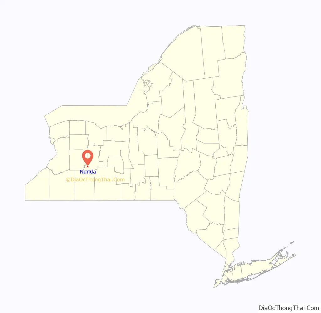
Nunda location map. Where is Nunda village?
History
The village was incorporated in 1839 as “Nunda Valley”. A large fire destroyed part of the village in 1852. In 1853, an attempt was made to found a new county with Nunda village as the county seat. This attempt failed.
The Union Block was added to the National Register of Historic Places in 1981.
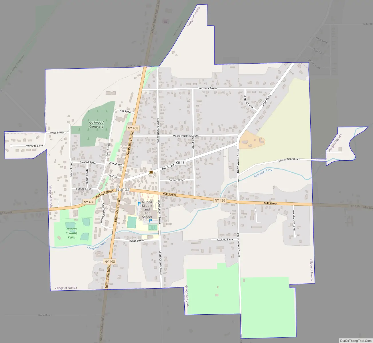
Nunda Road Map
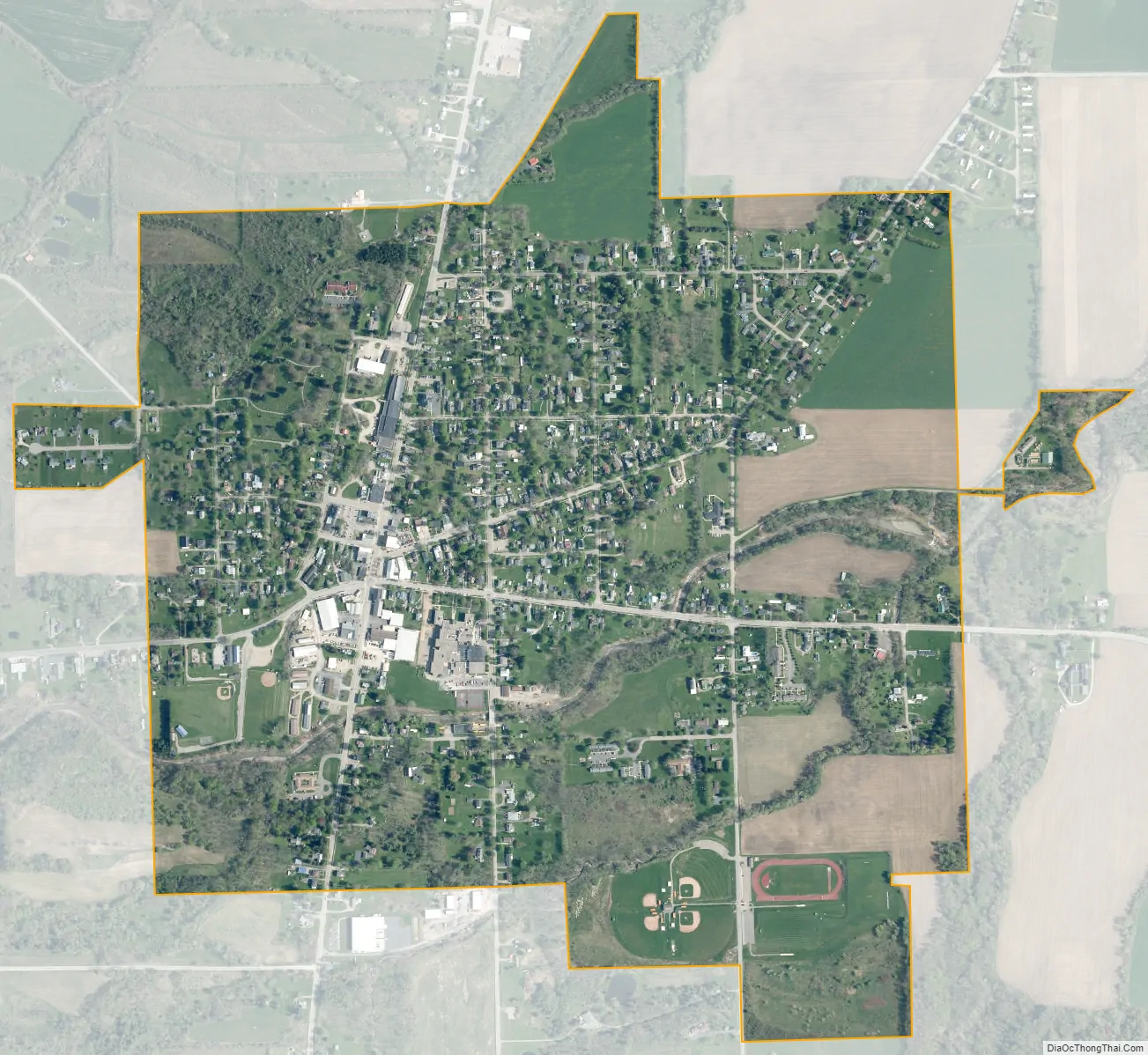
Nunda city Satellite Map
Geography
The village is located in southwestern Livingston County at 42°34′50″N 77°56′18″W / 42.58056°N 77.93833°W / 42.58056; -77.93833 (42.580628, -77.938392), in the western part of the town of Nunda. The village is at the junction of New York State Routes 408 and 436. It is 11 miles (18 km) southwest of Mount Morris and 14 miles (23 km) west of Dansville. It is 17 miles (27 km) southwest of Geneseo, the Livingston county seat.
According to the United States Census Bureau, the village of Nunda has a total area of 1.0 square mile (2.5 km), all land. Keshequa Creek and Crooked Creek flow through the village. Keshequa Creek flows northeast to Canaseraga Creek near Sonyea and is part of the Genesee River watershed. Due to heavy rains and a rupture in the village water reservoir, there was a flood which ruined the brand new Keshequa Central School Middle School Gymnasium that had been completed one month before the flooding occurred.
See also
Map of New York State and its subdivision:- Albany
- Allegany
- Bronx
- Broome
- Cattaraugus
- Cayuga
- Chautauqua
- Chemung
- Chenango
- Clinton
- Columbia
- Cortland
- Delaware
- Dutchess
- Erie
- Essex
- Franklin
- Fulton
- Genesee
- Greene
- Hamilton
- Herkimer
- Jefferson
- Kings
- Lake Ontario
- Lewis
- Livingston
- Madison
- Monroe
- Montgomery
- Nassau
- New York
- Niagara
- Oneida
- Onondaga
- Ontario
- Orange
- Orleans
- Oswego
- Otsego
- Putnam
- Queens
- Rensselaer
- Richmond
- Rockland
- Saint Lawrence
- Saratoga
- Schenectady
- Schoharie
- Schuyler
- Seneca
- Steuben
- Suffolk
- Sullivan
- Tioga
- Tompkins
- Ulster
- Warren
- Washington
- Wayne
- Westchester
- Wyoming
- Yates
- Alabama
- Alaska
- Arizona
- Arkansas
- California
- Colorado
- Connecticut
- Delaware
- District of Columbia
- Florida
- Georgia
- Hawaii
- Idaho
- Illinois
- Indiana
- Iowa
- Kansas
- Kentucky
- Louisiana
- Maine
- Maryland
- Massachusetts
- Michigan
- Minnesota
- Mississippi
- Missouri
- Montana
- Nebraska
- Nevada
- New Hampshire
- New Jersey
- New Mexico
- New York
- North Carolina
- North Dakota
- Ohio
- Oklahoma
- Oregon
- Pennsylvania
- Rhode Island
- South Carolina
- South Dakota
- Tennessee
- Texas
- Utah
- Vermont
- Virginia
- Washington
- West Virginia
- Wisconsin
- Wyoming


