Oakdale is a hamlet (and census-designated place) in Suffolk County, New York, United States. The population was 7,974 at the 2010 census. Oakdale is in the Town of Islip. It has been home to Gilded Age mansions, the South Side Sportsmen’s Club, and the main campus of Dowling College. It is now home to Connetquot River State Park Preserve.
| Name: | Oakdale CDP |
|---|---|
| LSAD Code: | 57 |
| LSAD Description: | CDP (suffix) |
| State: | New York |
| County: | Suffolk County |
| Elevation: | 10 ft (3 m) |
| Total Area: | 3.79 sq mi (9.83 km²) |
| Land Area: | 3.18 sq mi (8.23 km²) |
| Water Area: | 0.62 sq mi (1.60 km²) |
| Total Population: | 7,430 |
| Population Density: | 2,338.68/sq mi (903.03/km²) |
| ZIP code: | 11769 |
| Area code: | 631 |
| FIPS code: | 3654144 |
| GNISfeature ID: | 0959162 |
Online Interactive Map
Click on ![]() to view map in "full screen" mode.
to view map in "full screen" mode.
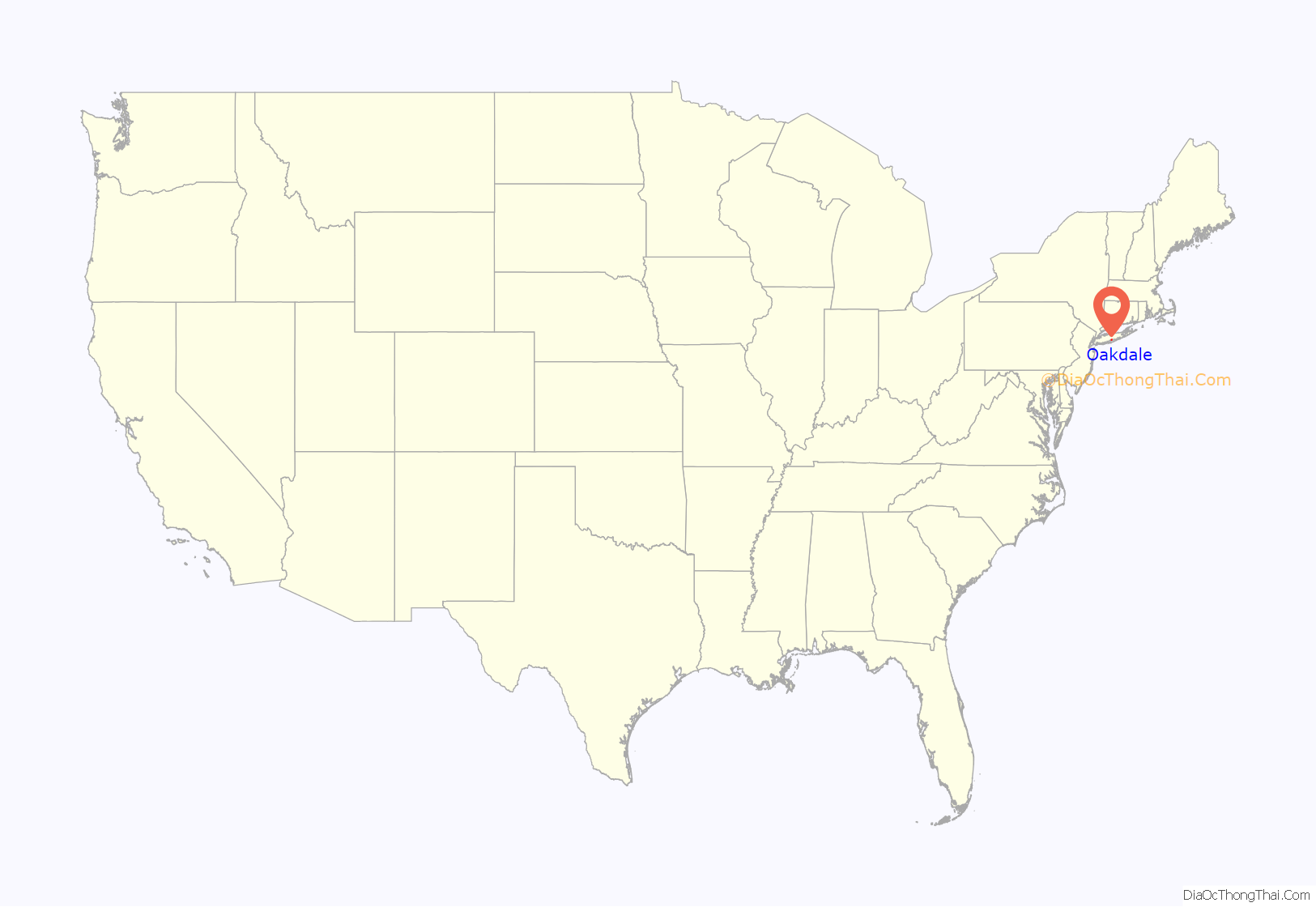
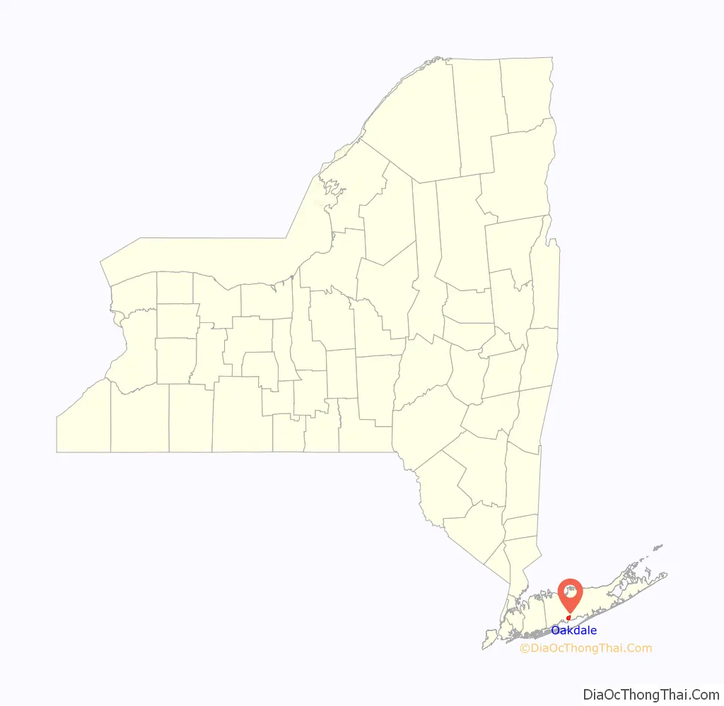
Oakdale location map. Where is Oakdale CDP?
History
Oakdale was founded around two Native American trade routes, where Sunrise Highway and Montauk Highway currently lie. Oakdale was part of the royal land grant given to William Nicoll, who founded Islip Town in 1697. Local historian Charles P. Dickerson wrote in 1975 that Oakdale’s name appeared to come from a Nicoll descendant in the mid-19th century. The community includes: St. John’s Episcopal Church, built in 1765, is the third oldest church on Long Island.
The community originated with a tavern owned by Eliphalet (Liff) Snedecor in what is now Connetquot River State Park Preserve. Soon after its founding in 1820, Snedecor’s Tavern began drawing New York bluebloods and business barons who wined and dined in remote joy when they weren’t fishing and hunting nearby. “Liff’s food is as good as his creek”, a magazine writer declared in 1839 referring to the food and Connetquot River. The writer added: “and the two are only second to his mint juleps and champagne punch; whoever gainsays either fact deserves hanging without benefit of clergy.”
In 1866, as the railroad reached the area, Liff’s wealthy patrons formed the South Side Sportsmen’s Club, and soon the race was on to see who could create the most superb spread in the thick forests adjoining Great South Bay. The most prominent were built by William K. Vanderbilt, grandson of railroad magnate Cornelius Vanderbilt; Frederick G. Bourne, president of the Singer Sewing Machine Co., and Christopher Robert II, an eccentric heir to a sugar fortune. Meanwhile, William Bayard Cutting, a lawyer, financier and railroad man, built his estate next door in Great River, New York which had once been west Oakdale.
In 1912, Jacob Ockers of Oakdale organized the Bluepoint Oyster Co., which became the largest oyster producer and shipper in the country.
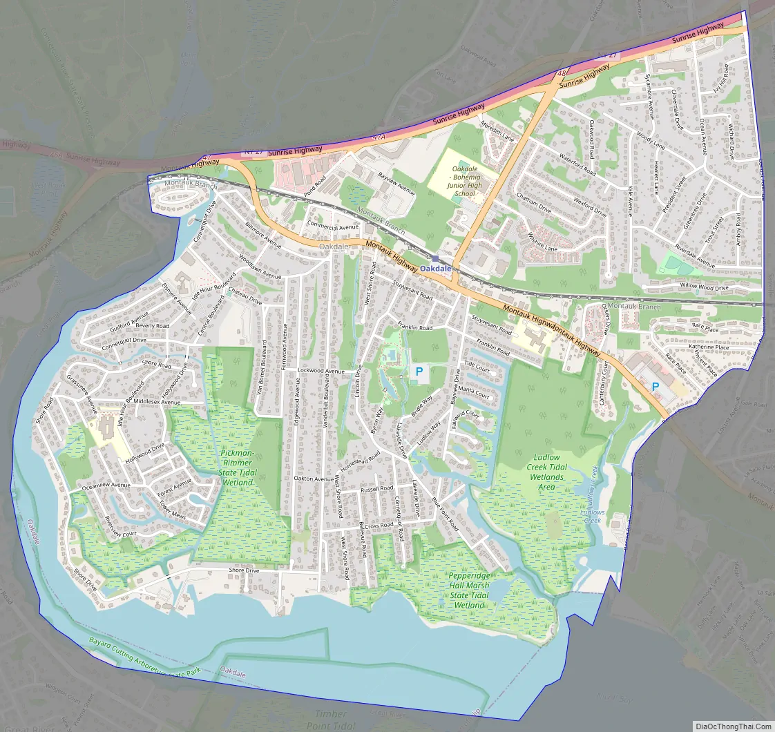
Oakdale Road Map
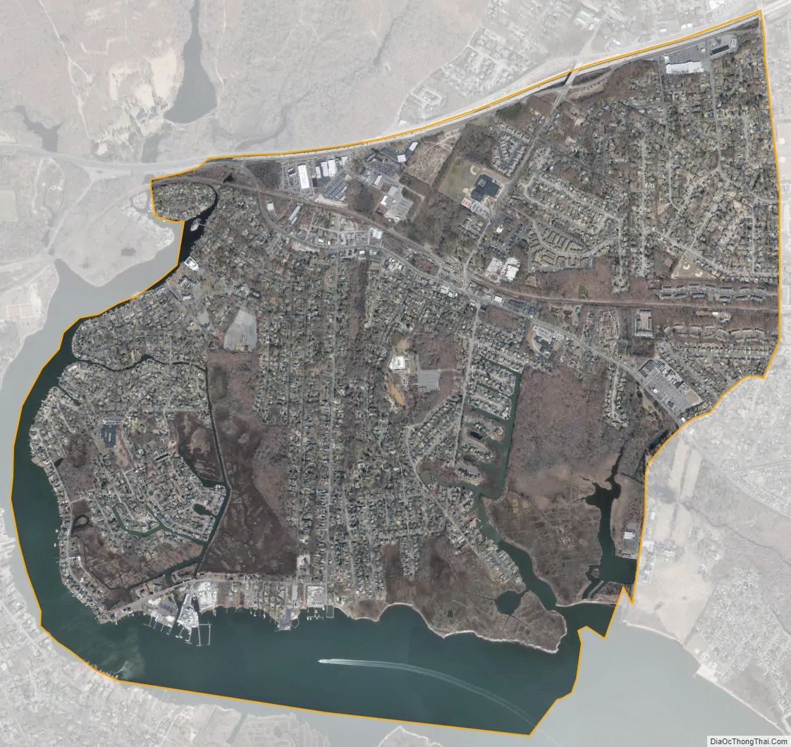
Oakdale city Satellite Map
Geography
Oakdale is located at 40°44′23″N 73°8′23″W / 40.73972°N 73.13972°W / 40.73972; -73.13972 (40.739858, -73.139696).
According to the United States Census Bureau, the CDP has a total area of 3.8 square miles (9.8 km), of which 3.3 square miles (8.5 km) is land and 0.4 square miles (1.0 km) 11.70%) is water.
See also
Map of New York State and its subdivision:- Albany
- Allegany
- Bronx
- Broome
- Cattaraugus
- Cayuga
- Chautauqua
- Chemung
- Chenango
- Clinton
- Columbia
- Cortland
- Delaware
- Dutchess
- Erie
- Essex
- Franklin
- Fulton
- Genesee
- Greene
- Hamilton
- Herkimer
- Jefferson
- Kings
- Lake Ontario
- Lewis
- Livingston
- Madison
- Monroe
- Montgomery
- Nassau
- New York
- Niagara
- Oneida
- Onondaga
- Ontario
- Orange
- Orleans
- Oswego
- Otsego
- Putnam
- Queens
- Rensselaer
- Richmond
- Rockland
- Saint Lawrence
- Saratoga
- Schenectady
- Schoharie
- Schuyler
- Seneca
- Steuben
- Suffolk
- Sullivan
- Tioga
- Tompkins
- Ulster
- Warren
- Washington
- Wayne
- Westchester
- Wyoming
- Yates
- Alabama
- Alaska
- Arizona
- Arkansas
- California
- Colorado
- Connecticut
- Delaware
- District of Columbia
- Florida
- Georgia
- Hawaii
- Idaho
- Illinois
- Indiana
- Iowa
- Kansas
- Kentucky
- Louisiana
- Maine
- Maryland
- Massachusetts
- Michigan
- Minnesota
- Mississippi
- Missouri
- Montana
- Nebraska
- Nevada
- New Hampshire
- New Jersey
- New Mexico
- New York
- North Carolina
- North Dakota
- Ohio
- Oklahoma
- Oregon
- Pennsylvania
- Rhode Island
- South Carolina
- South Dakota
- Tennessee
- Texas
- Utah
- Vermont
- Virginia
- Washington
- West Virginia
- Wisconsin
- Wyoming


