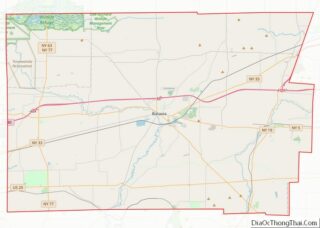
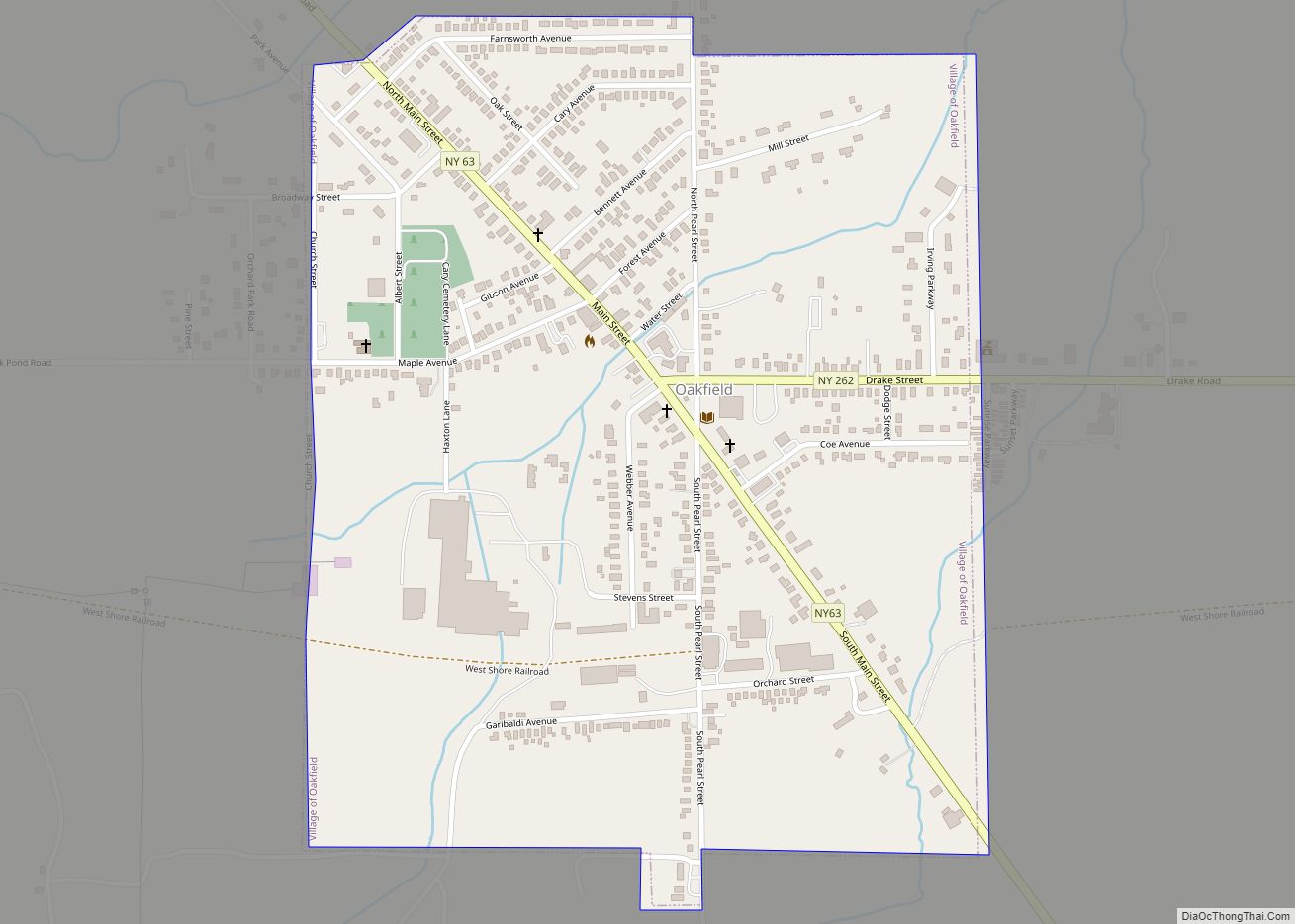
Oakfield is a village in Genesee County, New York, United States. As of the 2010 census, the village population was 1,813. The village lies within the town of Oakfield in northern Genesee County. The village is at the intersection of Route 63 (Lewiston Road) and Route 262. It is northwest of Batavia.
| Name: | Oakfield village |
|---|---|
| LSAD Code: | 47 |
| LSAD Description: | village (suffix) |
| State: | New York |
| County: | Genesee County |
| Elevation: | 755 ft (230 m) |
| Total Area: | 0.66 sq mi (1.71 km²) |
| Land Area: | 0.66 sq mi (1.71 km²) |
| Water Area: | 0.00 sq mi (0.00 km²) |
| Total Population: | 1,812 |
| Population Density: | 2,741.30/sq mi (1,059.21/km²) |
| ZIP code: | 14125 |
| Area code: | 585 |
| FIPS code: | 3654155 |
| GNISfeature ID: | 0959164 |
| Website: | www.oakfield.govoffice.com |
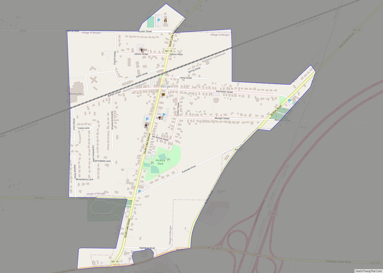
Online Interactive Map
Click on ![]() to view map in "full screen" mode.
to view map in "full screen" mode.
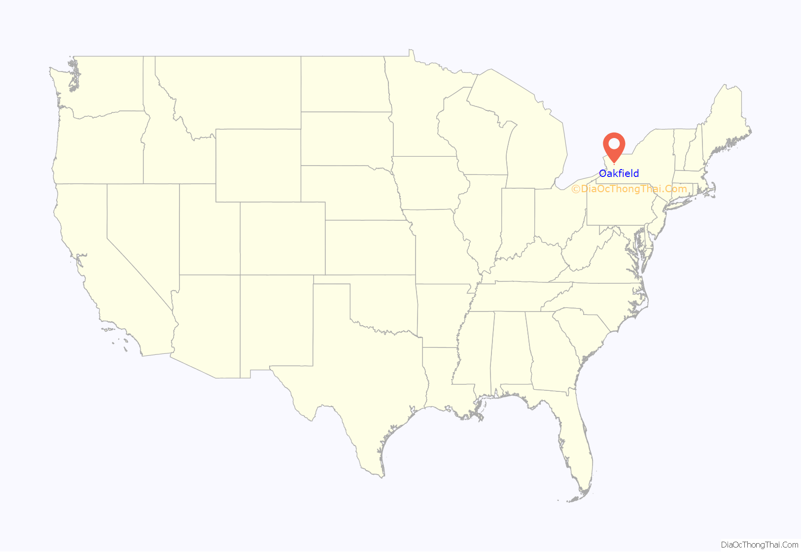
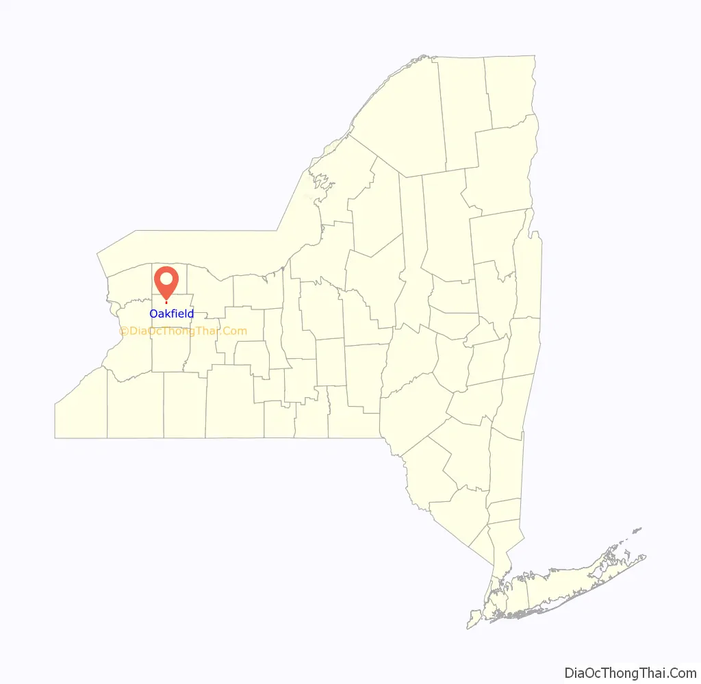
Oakfield location map. Where is Oakfield village?
History
The community was called “Caryville” and “Plain Brook” in the past. The village was incorporated in 1858, changing its name to “Oakfield” at that time.
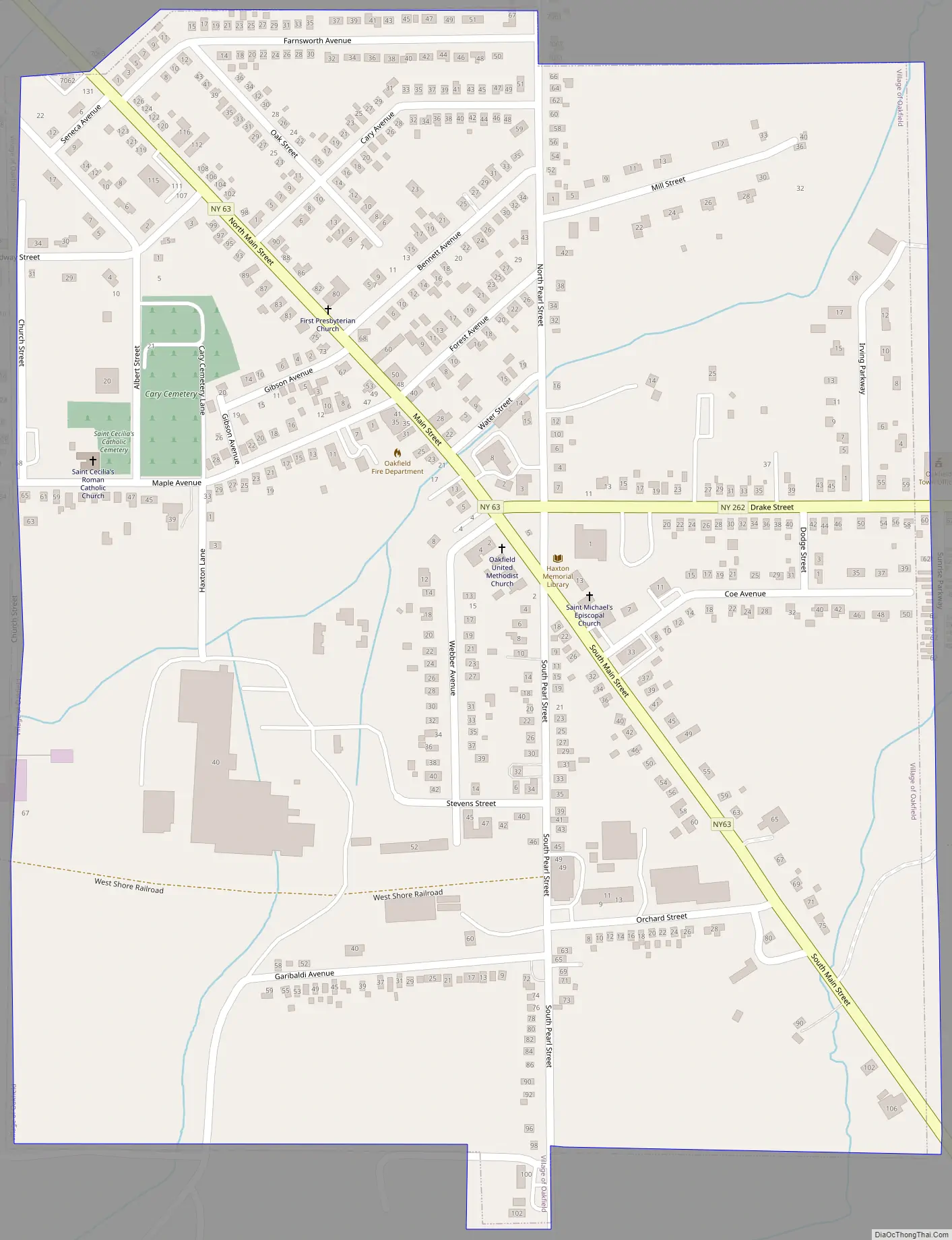
Oakfield Road Map
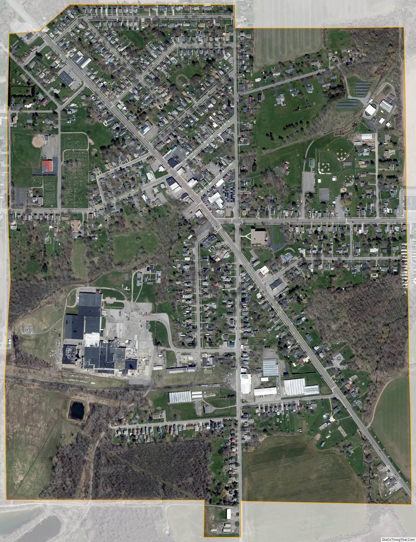
Oakfield city Satellite Map
Geography
The village is in the southern part of the town of Oakfield, 6 miles (10 km) northwest of Batavia, the county seat, by NY Route 63, and 16 miles (26 km) southeast of Medina. NY Route 262 leads east 4 miles (6 km) to Elba.
According to the United States Census Bureau, the village has a total area of 0.66 square miles (1.7 km), all land.
See also
Map of New York State and its subdivision:- Albany
- Allegany
- Bronx
- Broome
- Cattaraugus
- Cayuga
- Chautauqua
- Chemung
- Chenango
- Clinton
- Columbia
- Cortland
- Delaware
- Dutchess
- Erie
- Essex
- Franklin
- Fulton
- Genesee
- Greene
- Hamilton
- Herkimer
- Jefferson
- Kings
- Lake Ontario
- Lewis
- Livingston
- Madison
- Monroe
- Montgomery
- Nassau
- New York
- Niagara
- Oneida
- Onondaga
- Ontario
- Orange
- Orleans
- Oswego
- Otsego
- Putnam
- Queens
- Rensselaer
- Richmond
- Rockland
- Saint Lawrence
- Saratoga
- Schenectady
- Schoharie
- Schuyler
- Seneca
- Steuben
- Suffolk
- Sullivan
- Tioga
- Tompkins
- Ulster
- Warren
- Washington
- Wayne
- Westchester
- Wyoming
- Yates
- Alabama
- Alaska
- Arizona
- Arkansas
- California
- Colorado
- Connecticut
- Delaware
- District of Columbia
- Florida
- Georgia
- Hawaii
- Idaho
- Illinois
- Indiana
- Iowa
- Kansas
- Kentucky
- Louisiana
- Maine
- Maryland
- Massachusetts
- Michigan
- Minnesota
- Mississippi
- Missouri
- Montana
- Nebraska
- Nevada
- New Hampshire
- New Jersey
- New Mexico
- New York
- North Carolina
- North Dakota
- Ohio
- Oklahoma
- Oregon
- Pennsylvania
- Rhode Island
- South Carolina
- South Dakota
- Tennessee
- Texas
- Utah
- Vermont
- Virginia
- Washington
- West Virginia
- Wisconsin
- Wyoming