Ocean Beach is a village in the southern part of the Town of Islip, on Fire Island, within Suffolk County, New York, United States. As of the 2010 census, the population was 79. Known for its strict local ordinances, the village is nicknamed “The Land of No“.
The Incorporated Village of Ocean Beach is a popular tourist destination, due to its beachfront location accompanied by a commercial district featuring nightlife, hotels, waterfront restaurants, and a variety of stores.
| Name: | Ocean Beach village |
|---|---|
| LSAD Code: | 47 |
| LSAD Description: | village (suffix) |
| State: | New York |
| County: | Suffolk County |
| Incorporated: | 1921 |
| Elevation: | 3 ft (1 m) |
| Total Area: | 0.14 sq mi (0.37 km²) |
| Land Area: | 0.14 sq mi (0.37 km²) |
| Water Area: | 0.00 sq mi (0.00 km²) |
| Total Population: | 153 |
| Population Density: | 1,085.11/sq mi (418.00/km²) |
| ZIP code: | 11770 |
| Area code: | 631 |
| FIPS code: | 3654430 |
| GNISfeature ID: | 0959211 |
| Website: | villageofoceanbeach.org |
Online Interactive Map
Click on ![]() to view map in "full screen" mode.
to view map in "full screen" mode.
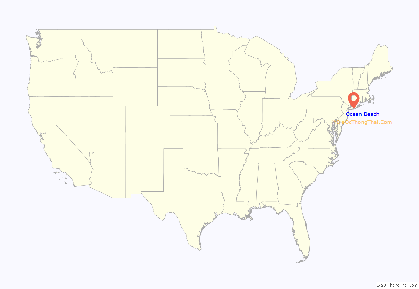
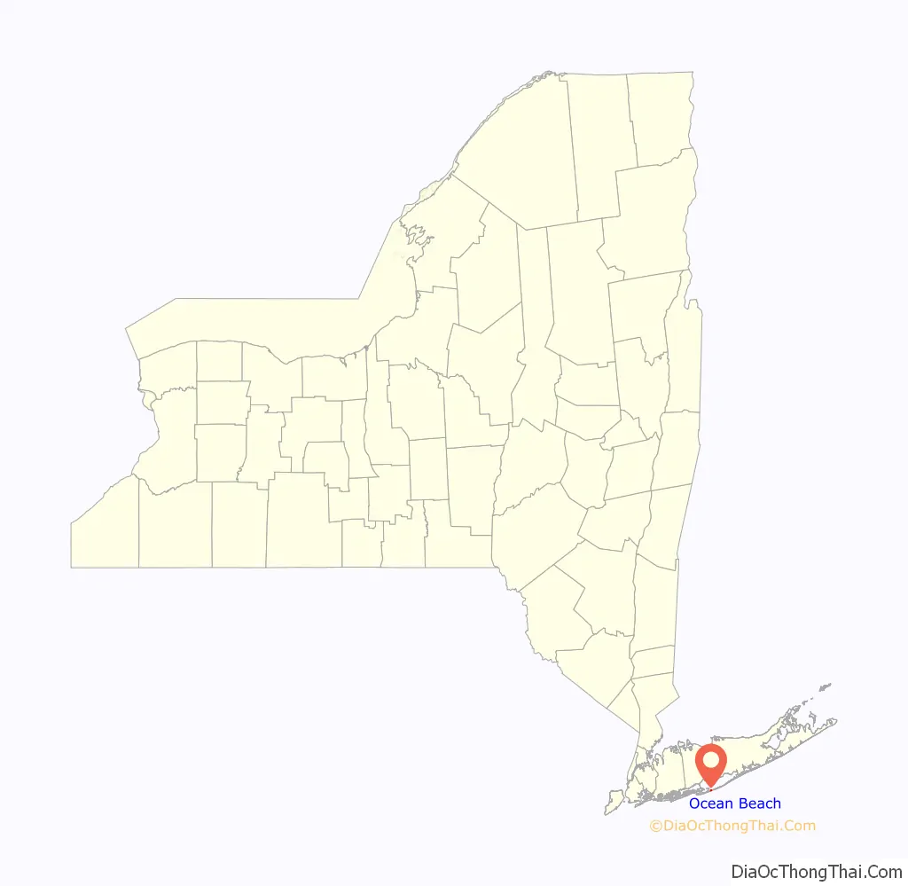
Ocean Beach location map. Where is Ocean Beach village?
History
Ocean Beach was incorporated as a village in 1921. It formed with the merger between the tract of land owned by John A. Wilbur and Stay-A-While Estates. It is the location of Fire Island’s only elementary school, which first opened in 1918.
The community was once a favorite of celebrities including Fanny Brice, Carl Reiner, and Mel Brooks.
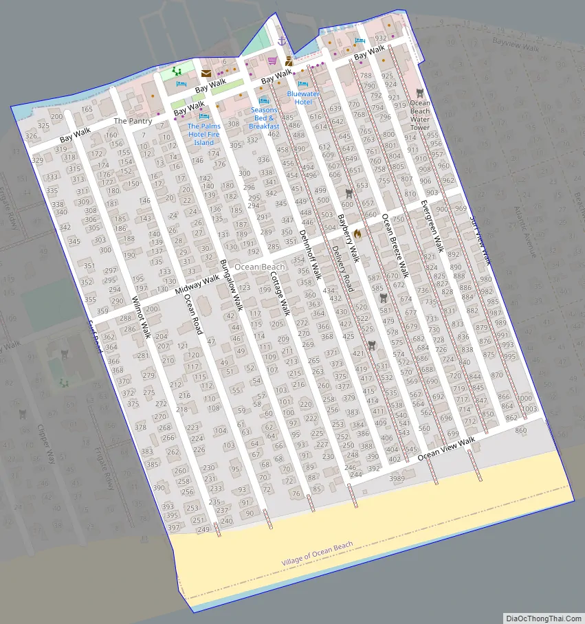
Ocean Beach Road Map
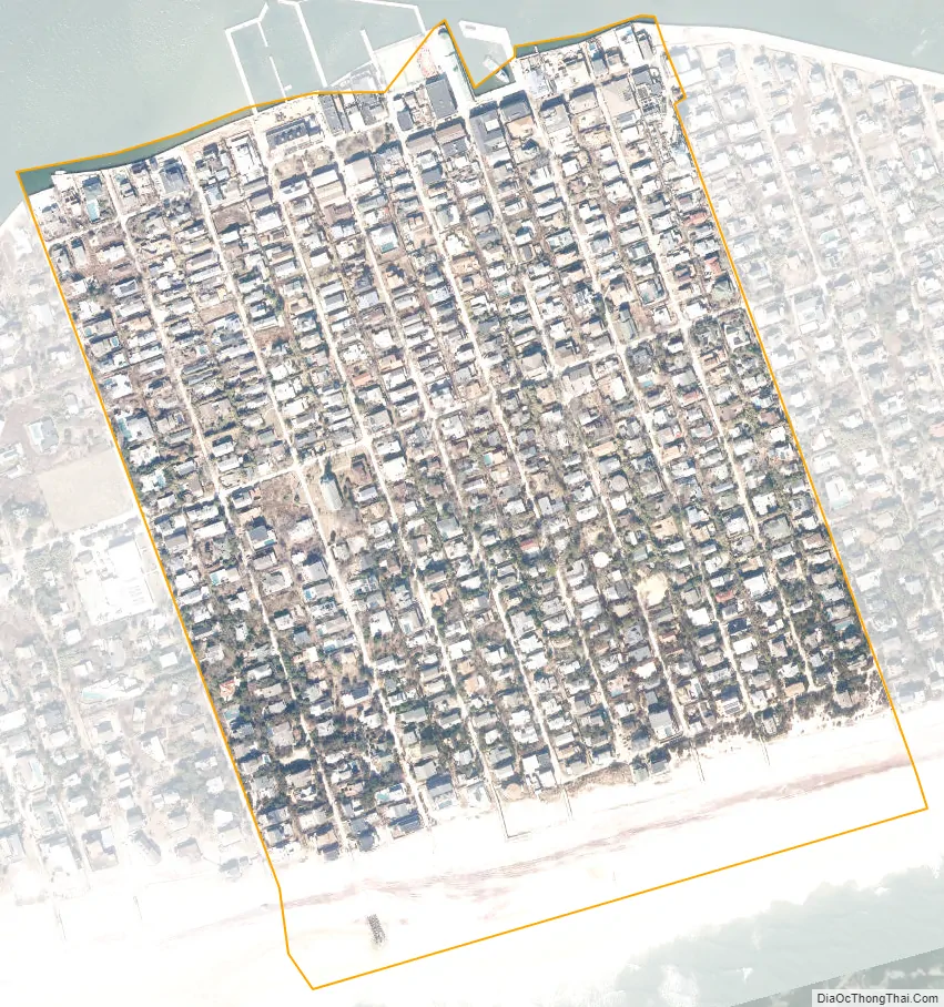
Ocean Beach city Satellite Map
See also
Map of New York State and its subdivision:- Albany
- Allegany
- Bronx
- Broome
- Cattaraugus
- Cayuga
- Chautauqua
- Chemung
- Chenango
- Clinton
- Columbia
- Cortland
- Delaware
- Dutchess
- Erie
- Essex
- Franklin
- Fulton
- Genesee
- Greene
- Hamilton
- Herkimer
- Jefferson
- Kings
- Lake Ontario
- Lewis
- Livingston
- Madison
- Monroe
- Montgomery
- Nassau
- New York
- Niagara
- Oneida
- Onondaga
- Ontario
- Orange
- Orleans
- Oswego
- Otsego
- Putnam
- Queens
- Rensselaer
- Richmond
- Rockland
- Saint Lawrence
- Saratoga
- Schenectady
- Schoharie
- Schuyler
- Seneca
- Steuben
- Suffolk
- Sullivan
- Tioga
- Tompkins
- Ulster
- Warren
- Washington
- Wayne
- Westchester
- Wyoming
- Yates
- Alabama
- Alaska
- Arizona
- Arkansas
- California
- Colorado
- Connecticut
- Delaware
- District of Columbia
- Florida
- Georgia
- Hawaii
- Idaho
- Illinois
- Indiana
- Iowa
- Kansas
- Kentucky
- Louisiana
- Maine
- Maryland
- Massachusetts
- Michigan
- Minnesota
- Mississippi
- Missouri
- Montana
- Nebraska
- Nevada
- New Hampshire
- New Jersey
- New Mexico
- New York
- North Carolina
- North Dakota
- Ohio
- Oklahoma
- Oregon
- Pennsylvania
- Rhode Island
- South Carolina
- South Dakota
- Tennessee
- Texas
- Utah
- Vermont
- Virginia
- Washington
- West Virginia
- Wisconsin
- Wyoming


