Old Field is a village located in the Town of Brookhaven in Suffolk County, on Long Island, in New York, United States. The population was 918 at the 2010 census.
| Name: | Old Field village |
|---|---|
| LSAD Code: | 47 |
| LSAD Description: | village (suffix) |
| State: | New York |
| County: | Suffolk County |
| Incorporated: | 1927 |
| Elevation: | 7 ft (2 m) |
| Total Area: | 2.19 sq mi (5.67 km²) |
| Land Area: | 2.07 sq mi (5.36 km²) |
| Water Area: | 0.12 sq mi (0.31 km²) |
| Total Population: | 893 |
| Population Density: | 431.40/sq mi (166.59/km²) |
| ZIP code: | 11733 |
| Area code: | 631, 934 |
| FIPS code: | 3654617 |
| GNISfeature ID: | 0959276 |
| Website: | www.oldfieldny.org |
Online Interactive Map
Click on ![]() to view map in "full screen" mode.
to view map in "full screen" mode.
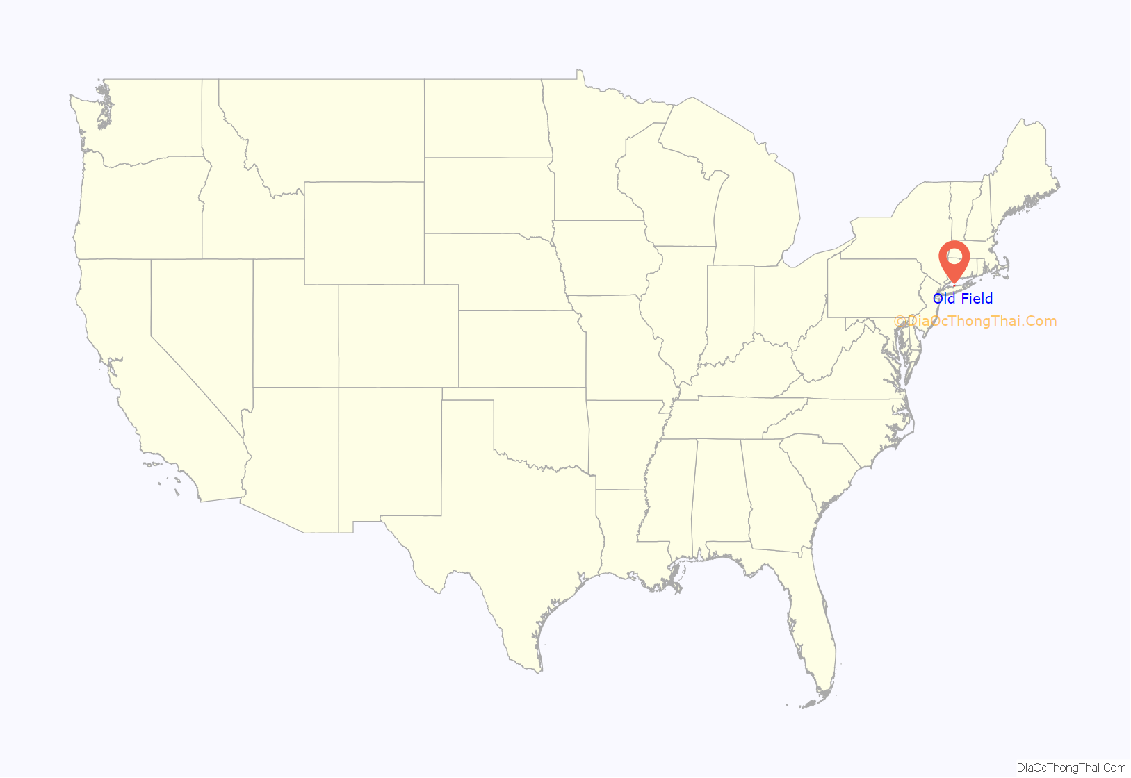
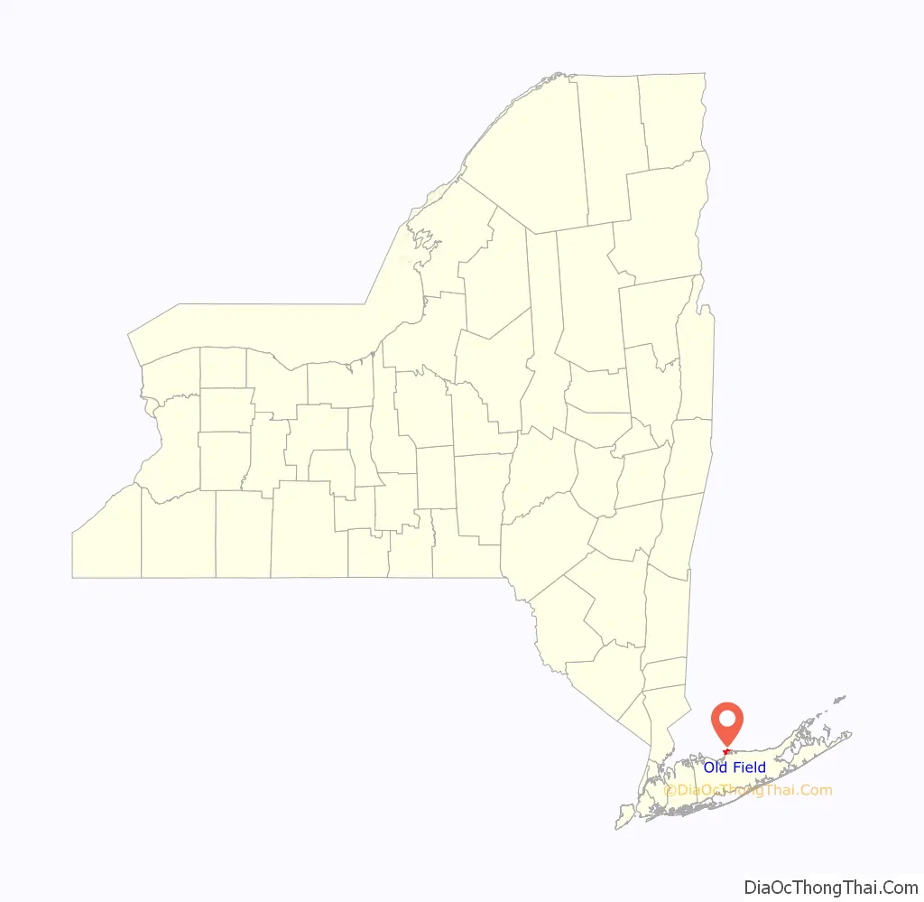
Old Field location map. Where is Old Field village?
History
The village incorporated in 1927. The Old Field Point Light located on the northern tip of Old Field, dates back to 1823. It was built by the United States government for $2,500. The rest of the lighthouse was finished in 1824 for an additional $1,500. The lighthouse and adjacent Keeper’s Cottage serve as the Old Field Village Hall complex.
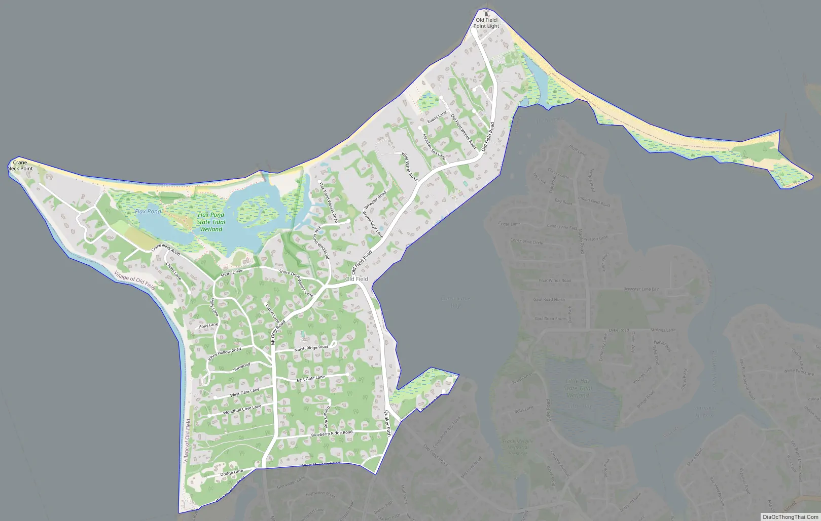
Old Field Road Map
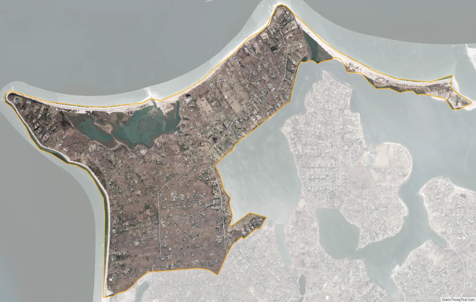
Old Field city Satellite Map
Geography
According to the United States Census Bureau, the village has a total area of 2.2 square miles (5.7 km), of which 2.1 square miles (5.4 km) is land and 0.1 square miles (0.26 km) is water.
The tidal estuary Flax Pond is located along the northern shore of the village.
See also
Map of New York State and its subdivision:- Albany
- Allegany
- Bronx
- Broome
- Cattaraugus
- Cayuga
- Chautauqua
- Chemung
- Chenango
- Clinton
- Columbia
- Cortland
- Delaware
- Dutchess
- Erie
- Essex
- Franklin
- Fulton
- Genesee
- Greene
- Hamilton
- Herkimer
- Jefferson
- Kings
- Lake Ontario
- Lewis
- Livingston
- Madison
- Monroe
- Montgomery
- Nassau
- New York
- Niagara
- Oneida
- Onondaga
- Ontario
- Orange
- Orleans
- Oswego
- Otsego
- Putnam
- Queens
- Rensselaer
- Richmond
- Rockland
- Saint Lawrence
- Saratoga
- Schenectady
- Schoharie
- Schuyler
- Seneca
- Steuben
- Suffolk
- Sullivan
- Tioga
- Tompkins
- Ulster
- Warren
- Washington
- Wayne
- Westchester
- Wyoming
- Yates
- Alabama
- Alaska
- Arizona
- Arkansas
- California
- Colorado
- Connecticut
- Delaware
- District of Columbia
- Florida
- Georgia
- Hawaii
- Idaho
- Illinois
- Indiana
- Iowa
- Kansas
- Kentucky
- Louisiana
- Maine
- Maryland
- Massachusetts
- Michigan
- Minnesota
- Mississippi
- Missouri
- Montana
- Nebraska
- Nevada
- New Hampshire
- New Jersey
- New Mexico
- New York
- North Carolina
- North Dakota
- Ohio
- Oklahoma
- Oregon
- Pennsylvania
- Rhode Island
- South Carolina
- South Dakota
- Tennessee
- Texas
- Utah
- Vermont
- Virginia
- Washington
- West Virginia
- Wisconsin
- Wyoming


