Oriskany Falls is a village in Oneida County, New York, United States. The population was 732 at the 2010 census. The name is derived from a waterfall on a nearby stream.
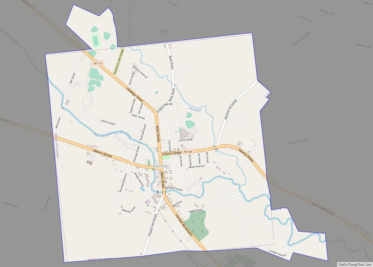
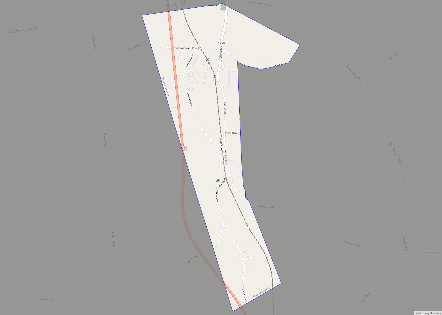
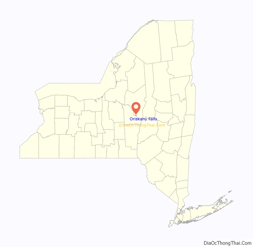
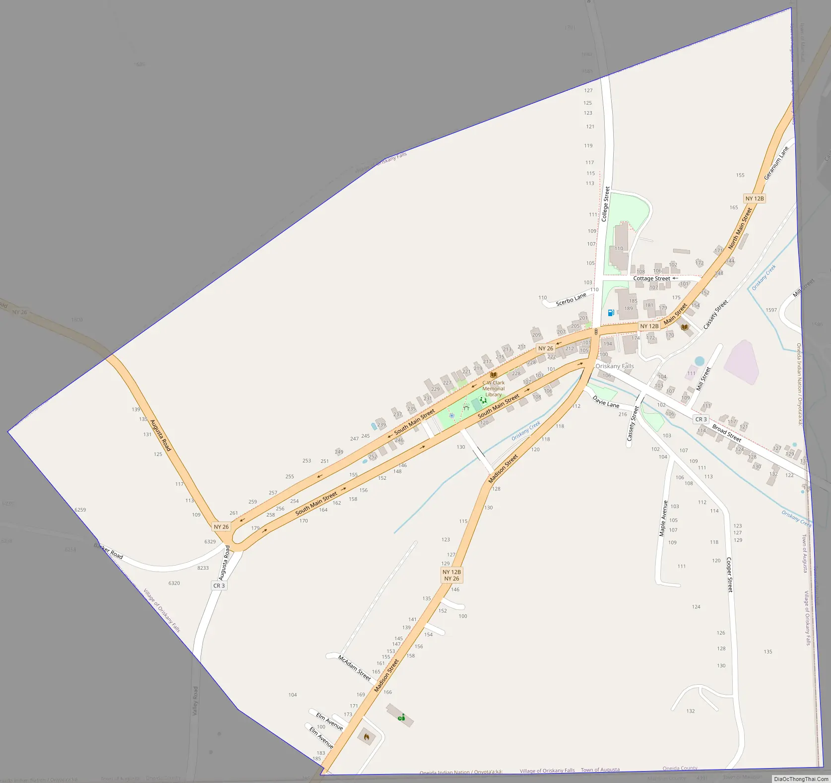
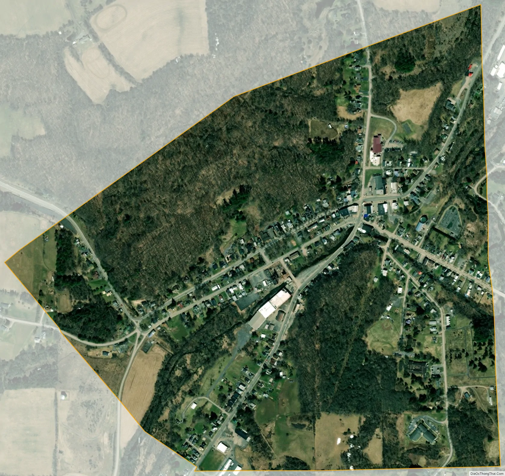
The Village of Oriskany Falls is in the southeast section of the Town of Augusta and partly overlaps the Town of Marshall. The community is at the intersection of Routes 12B and 26, which share a brief concurrency within the village and south to Bouckville.
| Name: | Oriskany Falls village |
|---|---|
| LSAD Code: | 47 |
| LSAD Description: | village (suffix) |
| State: | New York |
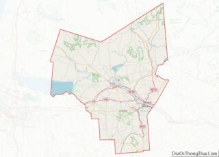
| County: | Oneida County |
| Elevation: | 974 ft (297 m) |
| Total Area: | 0.51 sq mi (1.31 km²) |
| Land Area: | 0.51 sq mi (1.31 km²) |
| Water Area: | 0.00 sq mi (0.00 km²) |
| Total Population: | 658 |
| Population Density: | 1,300.40/sq mi (501.85/km²) |
| ZIP code: | 13425 |
| Area code: | 315 |
| FIPS code: | 3655376 |
| GNISfeature ID: | 0959483 |
Online Interactive Map
Click on ![]() to view map in "full screen" mode.
to view map in "full screen" mode.
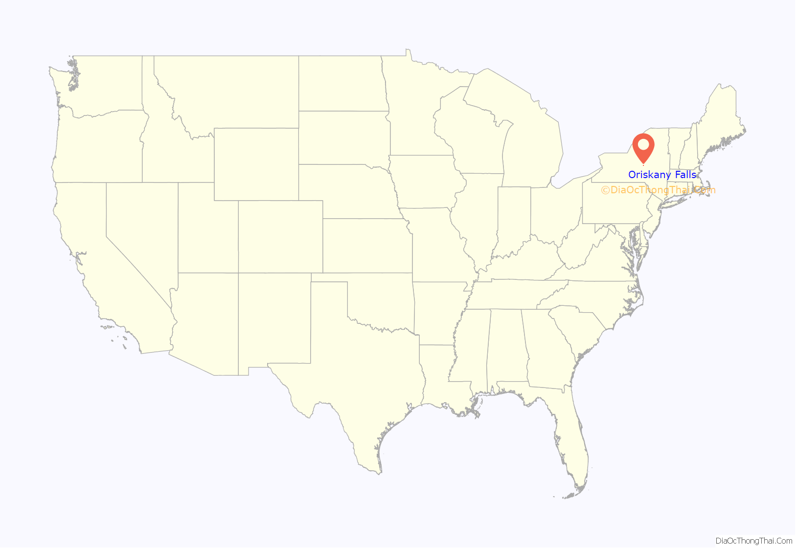
Oriskany Falls location map. Where is Oriskany Falls village?
History
The community was first settled circa 1794. It was originally known as Cassety Hollow, and was incorporated as the Village of Oriskany Falls in the 1880s.
In the mid and late 1900s, Mr. George Tucker owned a large portion of the town, which he donated to the people, including a church and the local store, “Tucker’s Big M.” The store, however, was sold in 2004 to the “Shur-Fine” corporation, who had a gas station put in and remodeled the storefront, and then again in 2006 to brothers-in-law Badal Singh and Sukhminder Singh, natives of India.
The First Congregational Free Church was listed on the National Register of Historic Places in 1979.
Oriskany Falls Road Map
Oriskany Falls city Satellite Map
Geography
Oriskany Falls is located at 42°56′17″N 75°27′46″W / 42.93806°N 75.46278°W / 42.93806; -75.46278 (42.938088, -75.462893).
According to the United States Census Bureau, the village has a total area of 0.5 square miles (1.3 km), all land.
The village is located on Oriskany Creek and is near the border of Madison County.
See also
Map of New York State and its subdivision:- Albany
- Allegany
- Bronx
- Broome
- Cattaraugus
- Cayuga
- Chautauqua
- Chemung
- Chenango
- Clinton
- Columbia
- Cortland
- Delaware
- Dutchess
- Erie
- Essex
- Franklin
- Fulton
- Genesee
- Greene
- Hamilton
- Herkimer
- Jefferson
- Kings
- Lake Ontario
- Lewis
- Livingston
- Madison
- Monroe
- Montgomery
- Nassau
- New York
- Niagara
- Oneida
- Onondaga
- Ontario
- Orange
- Orleans
- Oswego
- Otsego
- Putnam
- Queens
- Rensselaer
- Richmond
- Rockland
- Saint Lawrence
- Saratoga
- Schenectady
- Schoharie
- Schuyler
- Seneca
- Steuben
- Suffolk
- Sullivan
- Tioga
- Tompkins
- Ulster
- Warren
- Washington
- Wayne
- Westchester
- Wyoming
- Yates
- Alabama
- Alaska
- Arizona
- Arkansas
- California
- Colorado
- Connecticut
- Delaware
- District of Columbia
- Florida
- Georgia
- Hawaii
- Idaho
- Illinois
- Indiana
- Iowa
- Kansas
- Kentucky
- Louisiana
- Maine
- Maryland
- Massachusetts
- Michigan
- Minnesota
- Mississippi
- Missouri
- Montana
- Nebraska
- Nevada
- New Hampshire
- New Jersey
- New Mexico
- New York
- North Carolina
- North Dakota
- Ohio
- Oklahoma
- Oregon
- Pennsylvania
- Rhode Island
- South Carolina
- South Dakota
- Tennessee
- Texas
- Utah
- Vermont
- Virginia
- Washington
- West Virginia
- Wisconsin
- Wyoming