Patchogue (/ˈpætʃɒɡ/, PATCH-awg) is a village in Suffolk County, New York. The population was 11,798 at the time of the 2010 census. Patchogue is part of the town of Brookhaven, on the south shore of Long Island, adjoining Great South Bay. It is officially known as the Incorporated Village of Patchogue.
| Name: | Patchogue village |
|---|---|
| LSAD Code: | 47 |
| LSAD Description: | village (suffix) |
| State: | New York |
| County: | Suffolk County |
| Elevation: | 20 ft (6 m) |
| Total Area: | 2.52 sq mi (6.53 km²) |
| Land Area: | 2.26 sq mi (5.85 km²) |
| Water Area: | 0.26 sq mi (0.67 km²) |
| Total Population: | 12,408 |
| Population Density: | 5,490.27/sq mi (2,119.54/km²) |
| ZIP code: | 11772 |
| Area code: | 631, 934 |
| FIPS code: | 3656660 |
| GNISfeature ID: | 0959977 |
| Website: | www.patchoguevillage.org |
Online Interactive Map
Click on ![]() to view map in "full screen" mode.
to view map in "full screen" mode.
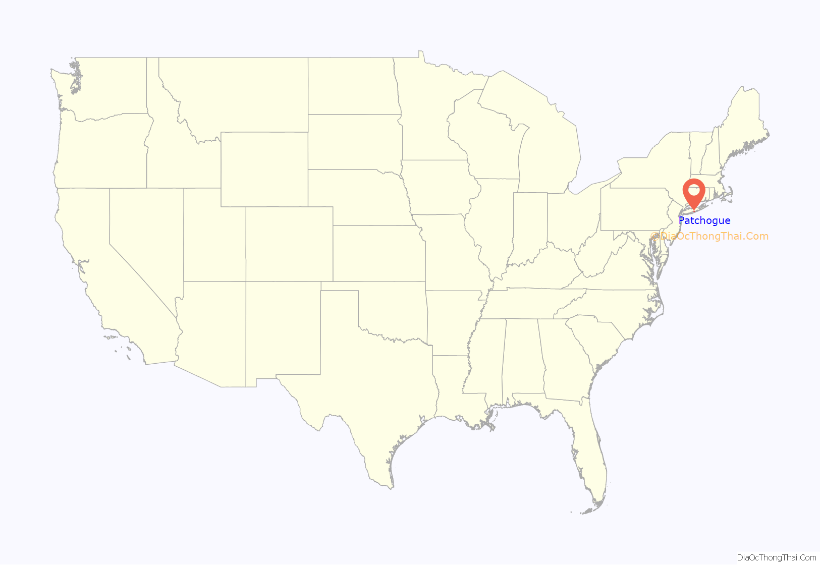
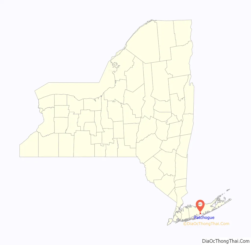
Patchogue location map. Where is Patchogue village?
History
Patchogue, which is approximately 60 miles (100 km) east of Manhattan, became incorporated in 1893.
In 1812, there were 75 inhabitants in Patchogue according to The Brooklyn Eagle, published in 1930.
The Patchogue Former Manufactured Gas Plant (MGP) was operated from 1904 to 1926. The company was a small operation, converting coal and/or petroleum products to a flammable gas for use in lighting and industry. The company was sold to Long Island Lighting Company (LILCO).
The Patchogue Theatre opened in 1923. It was later renovated into a triplex, after which it was converted to a single movie theater. It closed in the late 1980s. In the mid-1990s the village acquired the theater, and completely refurbished the building; it now seats 1,166 people.
Three churches in Patchogue are listed on the National Register of Historic Places: the Congregational Church on East Main Street, United Methodist Church on South Ocean Avenue between Church Street and Terry Street, and St. Paul’s Episcopal Church on Rider Avenue across from Terry Street.
In 2019, the local downtown area was recognized by the American Planning Association as one of America’s four “Great Neighborhoods”. Since 2007, the association has recognized over 300 neighborhoods, streets, and public spaces that make communities stronger and bring people together through good planning.
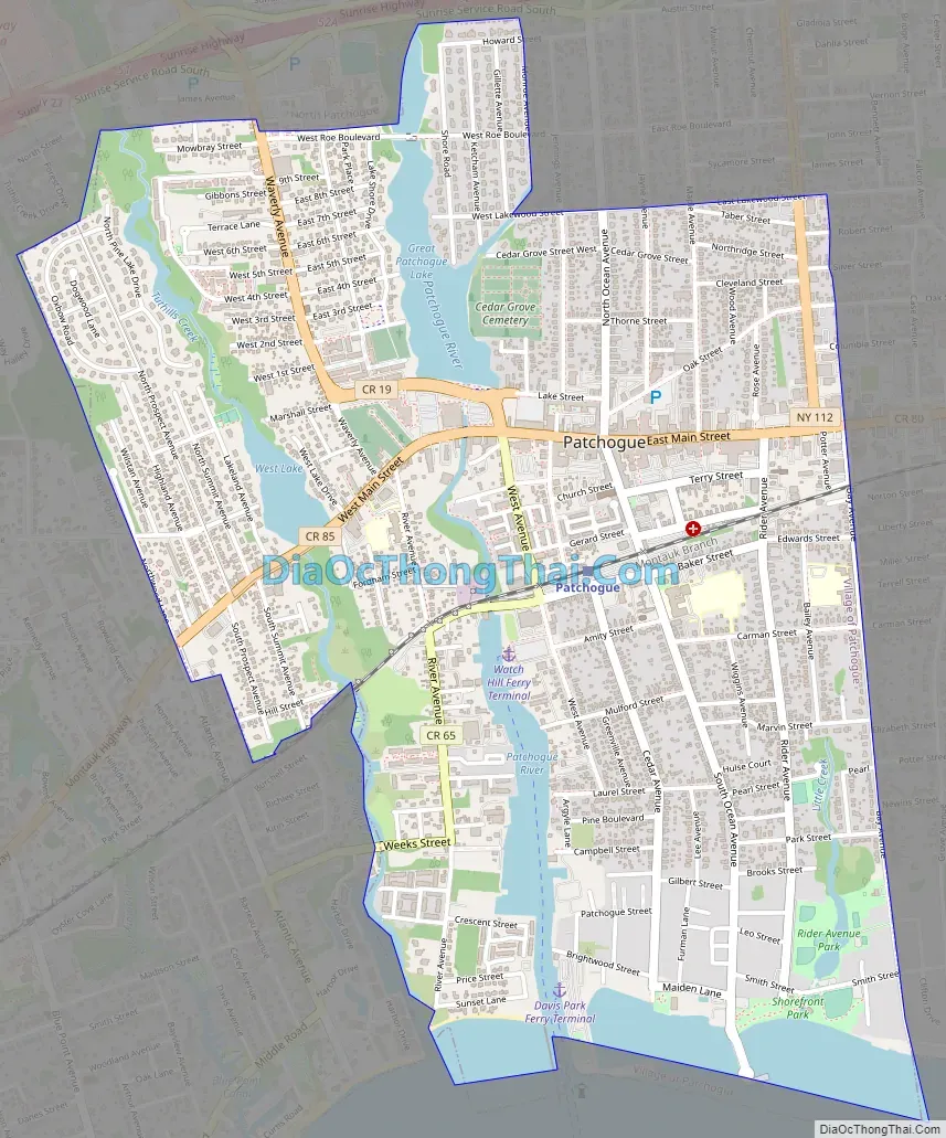
Patchogue Road Map
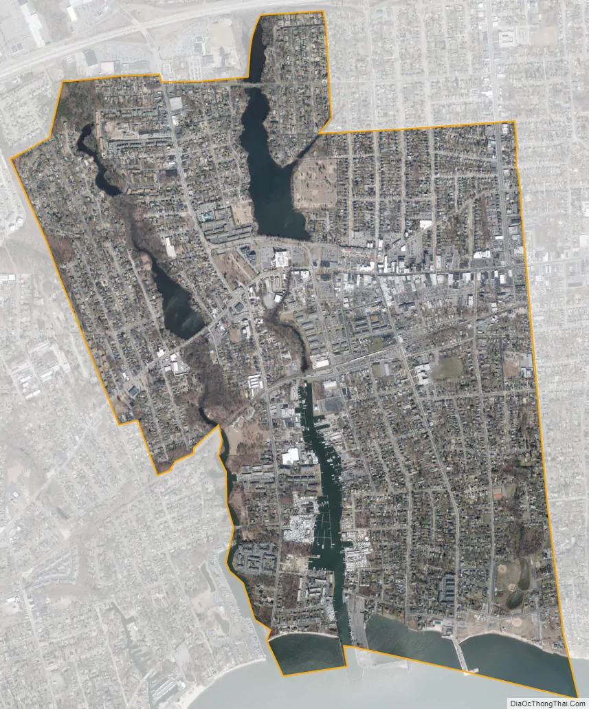
Patchogue city Satellite Map
Geography
According to the United States Census Bureau, the village has a total area of 2.5 square miles (6.5 km), of which 2.2 square miles (5.8 km) is land and 0.3 square mile (0.7 km) (10.71%) is water.
A natural riverfront and harbor are resources that the village has utilized since its founding, to become a modern and largely self-contained community.
See also
Map of New York State and its subdivision:- Albany
- Allegany
- Bronx
- Broome
- Cattaraugus
- Cayuga
- Chautauqua
- Chemung
- Chenango
- Clinton
- Columbia
- Cortland
- Delaware
- Dutchess
- Erie
- Essex
- Franklin
- Fulton
- Genesee
- Greene
- Hamilton
- Herkimer
- Jefferson
- Kings
- Lake Ontario
- Lewis
- Livingston
- Madison
- Monroe
- Montgomery
- Nassau
- New York
- Niagara
- Oneida
- Onondaga
- Ontario
- Orange
- Orleans
- Oswego
- Otsego
- Putnam
- Queens
- Rensselaer
- Richmond
- Rockland
- Saint Lawrence
- Saratoga
- Schenectady
- Schoharie
- Schuyler
- Seneca
- Steuben
- Suffolk
- Sullivan
- Tioga
- Tompkins
- Ulster
- Warren
- Washington
- Wayne
- Westchester
- Wyoming
- Yates
- Alabama
- Alaska
- Arizona
- Arkansas
- California
- Colorado
- Connecticut
- Delaware
- District of Columbia
- Florida
- Georgia
- Hawaii
- Idaho
- Illinois
- Indiana
- Iowa
- Kansas
- Kentucky
- Louisiana
- Maine
- Maryland
- Massachusetts
- Michigan
- Minnesota
- Mississippi
- Missouri
- Montana
- Nebraska
- Nevada
- New Hampshire
- New Jersey
- New Mexico
- New York
- North Carolina
- North Dakota
- Ohio
- Oklahoma
- Oregon
- Pennsylvania
- Rhode Island
- South Carolina
- South Dakota
- Tennessee
- Texas
- Utah
- Vermont
- Virginia
- Washington
- West Virginia
- Wisconsin
- Wyoming


