Peconic is a census-designated place (CDP) that roughly corresponds to the hamlet by the same name in the Town of Southold in Suffolk County, New York, United States. The CDP population was 683 at the 2010 census.
| Name: | Peconic CDP |
|---|---|
| LSAD Code: | 57 |
| LSAD Description: | CDP (suffix) |
| State: | New York |
| County: | Suffolk County |
| Elevation: | 30 ft (9 m) |
| Total Area: | 4.56 sq mi (11.80 km²) |
| Land Area: | 3.33 sq mi (8.62 km²) |
| Water Area: | 1.23 sq mi (3.18 km²) |
| Total Population: | 692 |
| Population Density: | 207.87/sq mi (80.27/km²) |
| ZIP code: | 11958 |
| Area code: | 631 |
| FIPS code: | 3656968 |
| GNISfeature ID: | 0960091 |
Online Interactive Map
Click on ![]() to view map in "full screen" mode.
to view map in "full screen" mode.
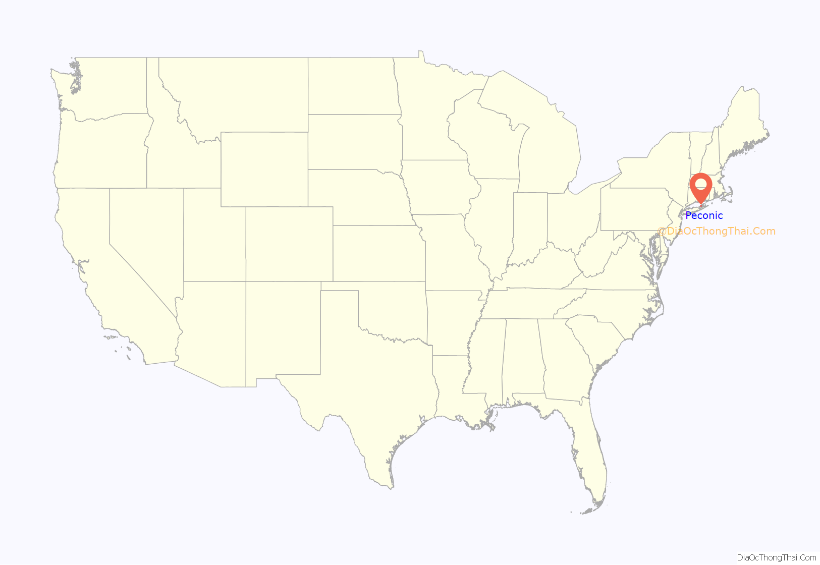
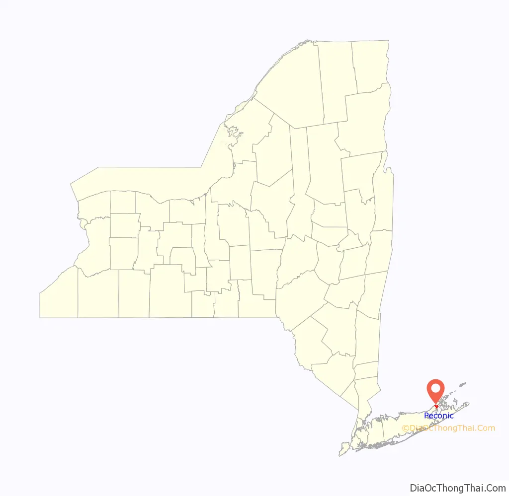
Peconic location map. Where is Peconic CDP?
History
The community derives its name from Peconic Bay, which in turn derives its name from a Native American word meaning “nut trees”. The area was originally called “Hermitage”, and the name “Peconic” was adopted later. During the late 1800s and early 1900s, it was home to the Peconic School, an artist colony initially led by painters Benjamin Rutherfurd Fitz, Edward August Bell, Henry Prellwitz and Edith Mitchill Prellwitz. Albert Einstein was staying in Peconic in 1939 when he signed the famous Einstein–Szilárd letter to President Franklin Delano Roosevelt. Goldsmith’s Inlet was the site of a tidal mill that was improved with a windmill in 1870.
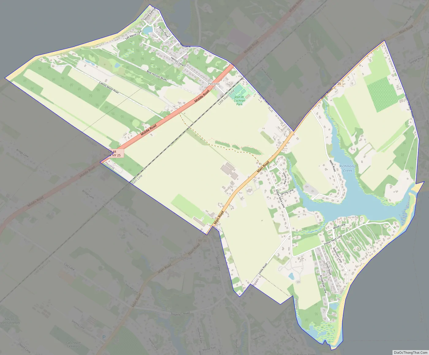
Peconic Road Map
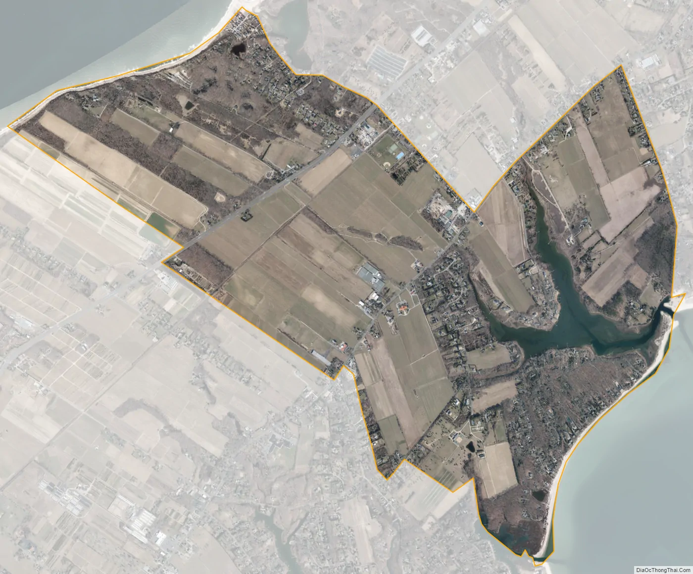
Peconic city Satellite Map
Geography
According to the United States Census Bureau, the hamlet has a total area of 3.5 square miles (9.1 km), of which 3.4 square miles (8.8 km) is land and 0.12 square miles (0.3 km), or 3.58%, is water.
See also
Map of New York State and its subdivision:- Albany
- Allegany
- Bronx
- Broome
- Cattaraugus
- Cayuga
- Chautauqua
- Chemung
- Chenango
- Clinton
- Columbia
- Cortland
- Delaware
- Dutchess
- Erie
- Essex
- Franklin
- Fulton
- Genesee
- Greene
- Hamilton
- Herkimer
- Jefferson
- Kings
- Lake Ontario
- Lewis
- Livingston
- Madison
- Monroe
- Montgomery
- Nassau
- New York
- Niagara
- Oneida
- Onondaga
- Ontario
- Orange
- Orleans
- Oswego
- Otsego
- Putnam
- Queens
- Rensselaer
- Richmond
- Rockland
- Saint Lawrence
- Saratoga
- Schenectady
- Schoharie
- Schuyler
- Seneca
- Steuben
- Suffolk
- Sullivan
- Tioga
- Tompkins
- Ulster
- Warren
- Washington
- Wayne
- Westchester
- Wyoming
- Yates
- Alabama
- Alaska
- Arizona
- Arkansas
- California
- Colorado
- Connecticut
- Delaware
- District of Columbia
- Florida
- Georgia
- Hawaii
- Idaho
- Illinois
- Indiana
- Iowa
- Kansas
- Kentucky
- Louisiana
- Maine
- Maryland
- Massachusetts
- Michigan
- Minnesota
- Mississippi
- Missouri
- Montana
- Nebraska
- Nevada
- New Hampshire
- New Jersey
- New Mexico
- New York
- North Carolina
- North Dakota
- Ohio
- Oklahoma
- Oregon
- Pennsylvania
- Rhode Island
- South Carolina
- South Dakota
- Tennessee
- Texas
- Utah
- Vermont
- Virginia
- Washington
- West Virginia
- Wisconsin
- Wyoming


