Philmont is a village in Columbia County, New York, United States. The population was 1,377 at the 2020 census. The village is located in the northeastern part of the town of Claverack on New York State Route 217.
| Name: | Philmont village |
|---|---|
| LSAD Code: | 47 |
| LSAD Description: | village (suffix) |
| State: | New York |
| County: | Columbia County |
| Founded: | 1892 |
| Elevation: | 500 ft (200 m) |
| Total Area: | 1.25 sq mi (3.25 km²) |
| Land Area: | 1.22 sq mi (3.15 km²) |
| Water Area: | 0.04 sq mi (0.10 km²) |
| Total Population: | 1,377 |
| Population Density: | 1,132.40/sq mi (437.39/km²) |
| ZIP code: | 12565 |
| Area code: | 518 |
| FIPS code: | 3657639 |
| GNISfeature ID: | 0960311 |
| Website: | www.philmont.org |
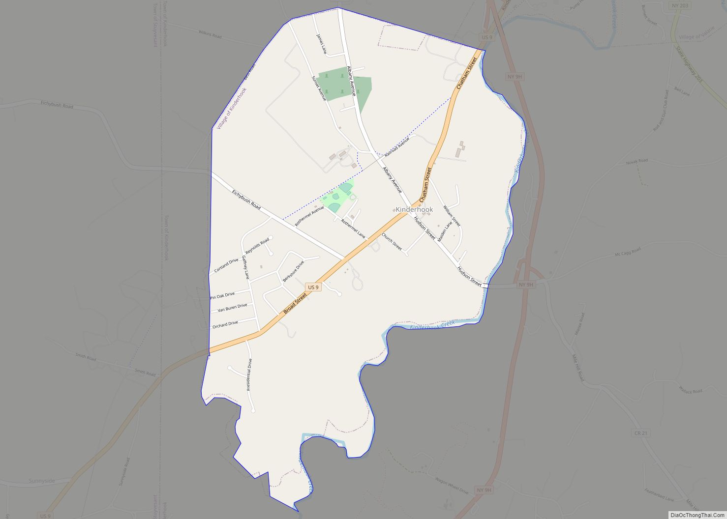
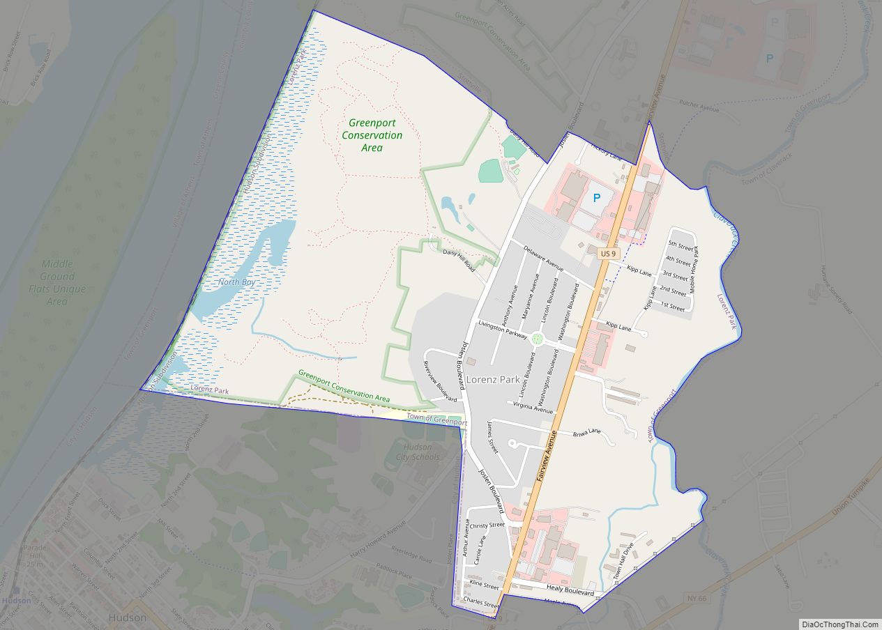
Online Interactive Map
Click on ![]() to view map in "full screen" mode.
to view map in "full screen" mode.
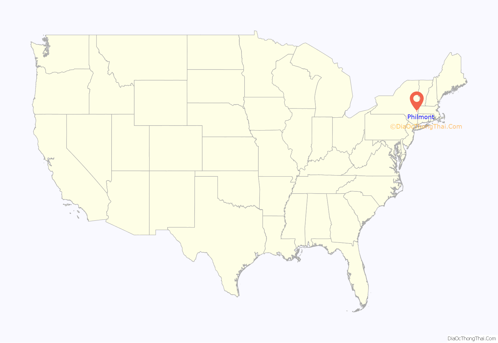
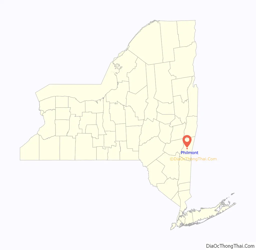
Philmont location map. Where is Philmont village?
History
The community was once known as “Factory Hill” due to the number of wool factories. The village was incorporated in 1891. It derives its name from George P. Philip, who built a 36-acre (15 ha) reservoir to provide water for his mill. This in turn led to construction of a 56-acre (23 ha) reservoir up the “mountain” in the Taconic Mountains to guarantee water to the mills, thus creating the factory hill.
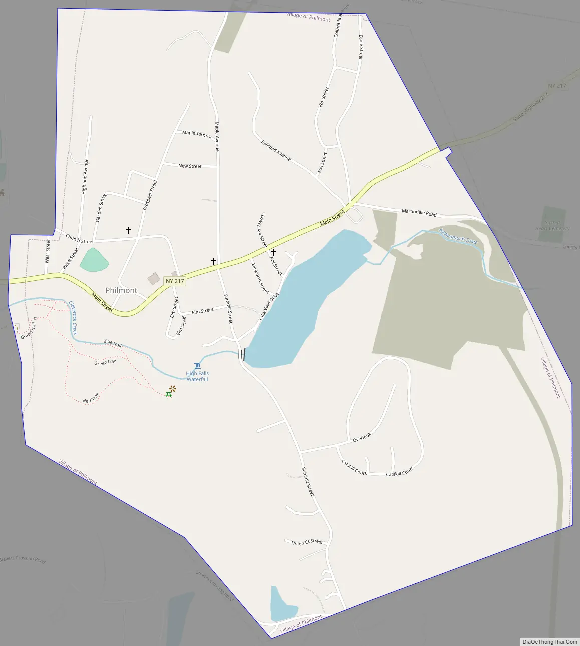
Philmont Road Map
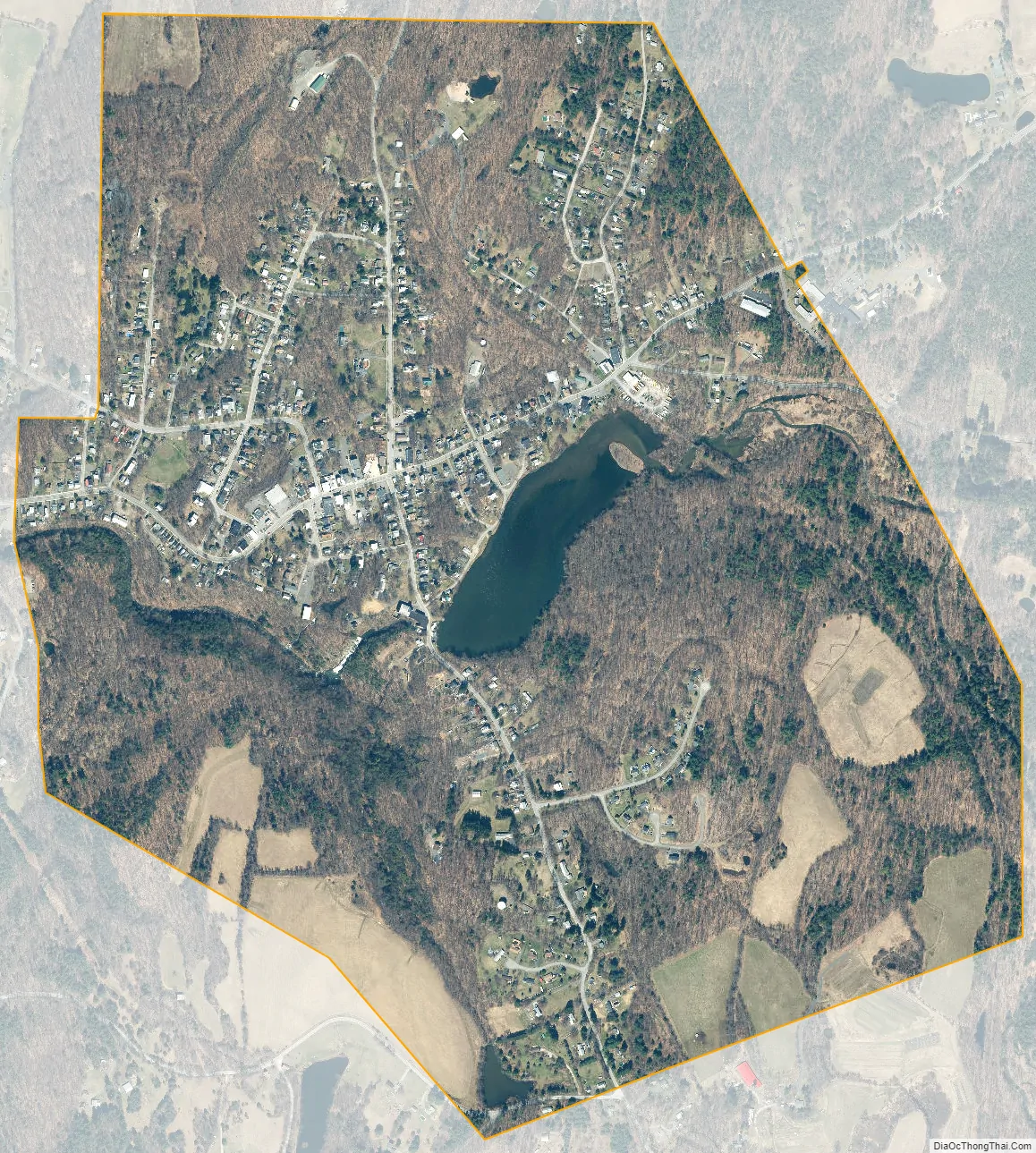
Philmont city Satellite Map
Geography
Philmont is located at 42°14′55″N 73°38′51″W / 42.24861°N 73.64750°W / 42.24861; -73.64750 (42.248620, -73.647602).
According to the United States Census Bureau, the village has a total area of 1.23 square miles (3.18 km), of which 1.19 square miles (3.08 km) is land and 0.04 square miles (0.10 km), or 3.16%, is water.
The village is along Agawamuck Creek, which drops over its High Falls near the center of the village. The creek is a tributary of Claverack Creek, which flows about 7.5 miles (12.1 km) to the Hudson River.
See also
Map of New York State and its subdivision:- Albany
- Allegany
- Bronx
- Broome
- Cattaraugus
- Cayuga
- Chautauqua
- Chemung
- Chenango
- Clinton
- Columbia
- Cortland
- Delaware
- Dutchess
- Erie
- Essex
- Franklin
- Fulton
- Genesee
- Greene
- Hamilton
- Herkimer
- Jefferson
- Kings
- Lake Ontario
- Lewis
- Livingston
- Madison
- Monroe
- Montgomery
- Nassau
- New York
- Niagara
- Oneida
- Onondaga
- Ontario
- Orange
- Orleans
- Oswego
- Otsego
- Putnam
- Queens
- Rensselaer
- Richmond
- Rockland
- Saint Lawrence
- Saratoga
- Schenectady
- Schoharie
- Schuyler
- Seneca
- Steuben
- Suffolk
- Sullivan
- Tioga
- Tompkins
- Ulster
- Warren
- Washington
- Wayne
- Westchester
- Wyoming
- Yates
- Alabama
- Alaska
- Arizona
- Arkansas
- California
- Colorado
- Connecticut
- Delaware
- District of Columbia
- Florida
- Georgia
- Hawaii
- Idaho
- Illinois
- Indiana
- Iowa
- Kansas
- Kentucky
- Louisiana
- Maine
- Maryland
- Massachusetts
- Michigan
- Minnesota
- Mississippi
- Missouri
- Montana
- Nebraska
- Nevada
- New Hampshire
- New Jersey
- New Mexico
- New York
- North Carolina
- North Dakota
- Ohio
- Oklahoma
- Oregon
- Pennsylvania
- Rhode Island
- South Carolina
- South Dakota
- Tennessee
- Texas
- Utah
- Vermont
- Virginia
- Washington
- West Virginia
- Wisconsin
- Wyoming