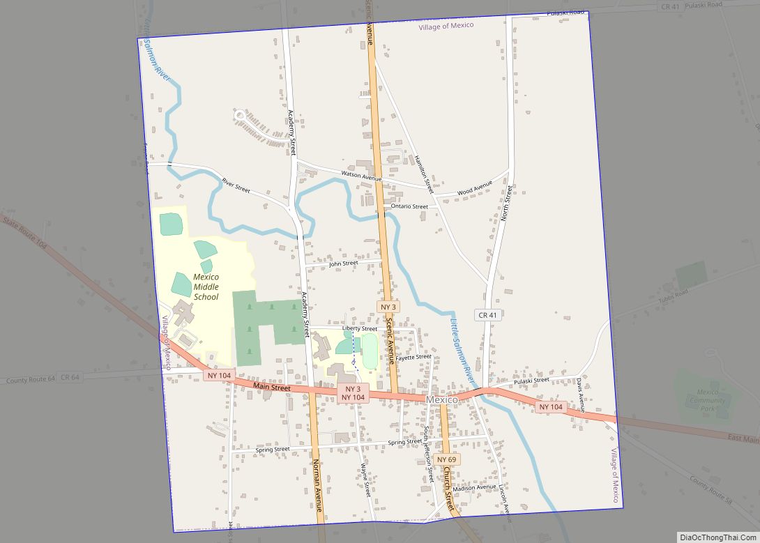
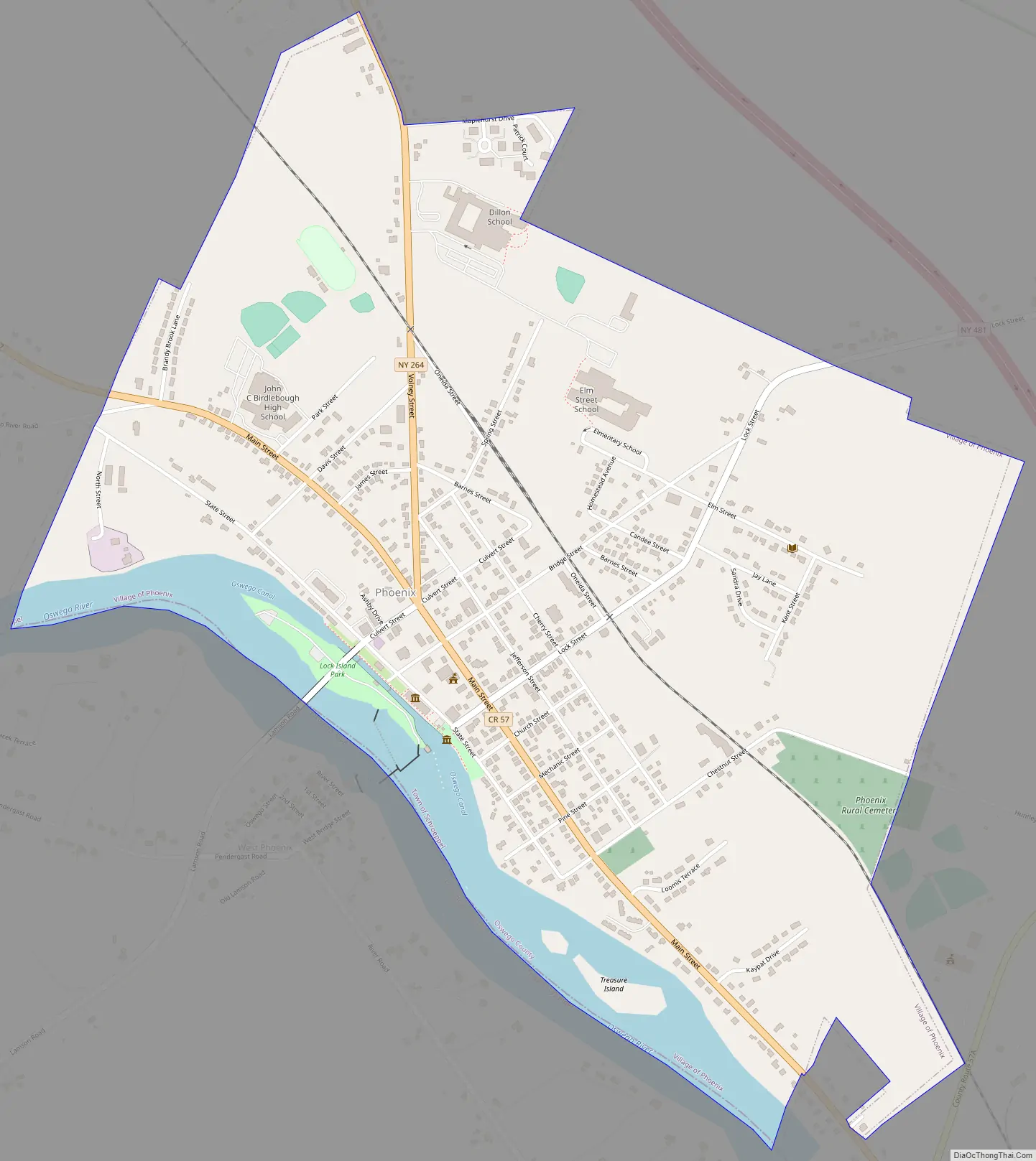
Phoenix is a village in Oswego County, New York, United States. The population was 2,382 at the 2010 census. The name is derived from Alexander Phoenix. The village of Phoenix lies in the Lake Ontario lake-effect snow belt, with seasonal snow totals regularly exceeding 200 in (510 cm). Phoenix lies in the southwest part of the town of Schroeppel.
| Name: | Phoenix village |
|---|---|
| LSAD Code: | 47 |
| LSAD Description: | village (suffix) |
| State: | New York |
| County: | Oswego County |
| Elevation: | 371 ft (113 m) |
| Total Area: | 1.29 sq mi (3.34 km²) |
| Land Area: | 1.17 sq mi (3.03 km²) |
| Water Area: | 0.12 sq mi (0.31 km²) |
| Total Population: | 2,226 |
| Population Density: | 1,900.94/sq mi (734.24/km²) |
| ZIP code: | 13135 |
| Area code: | 315 |
| FIPS code: | 3657661 |
| GNISfeature ID: | 0960322 |
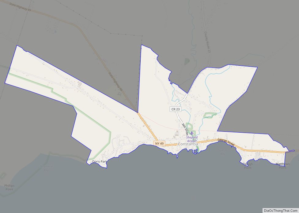
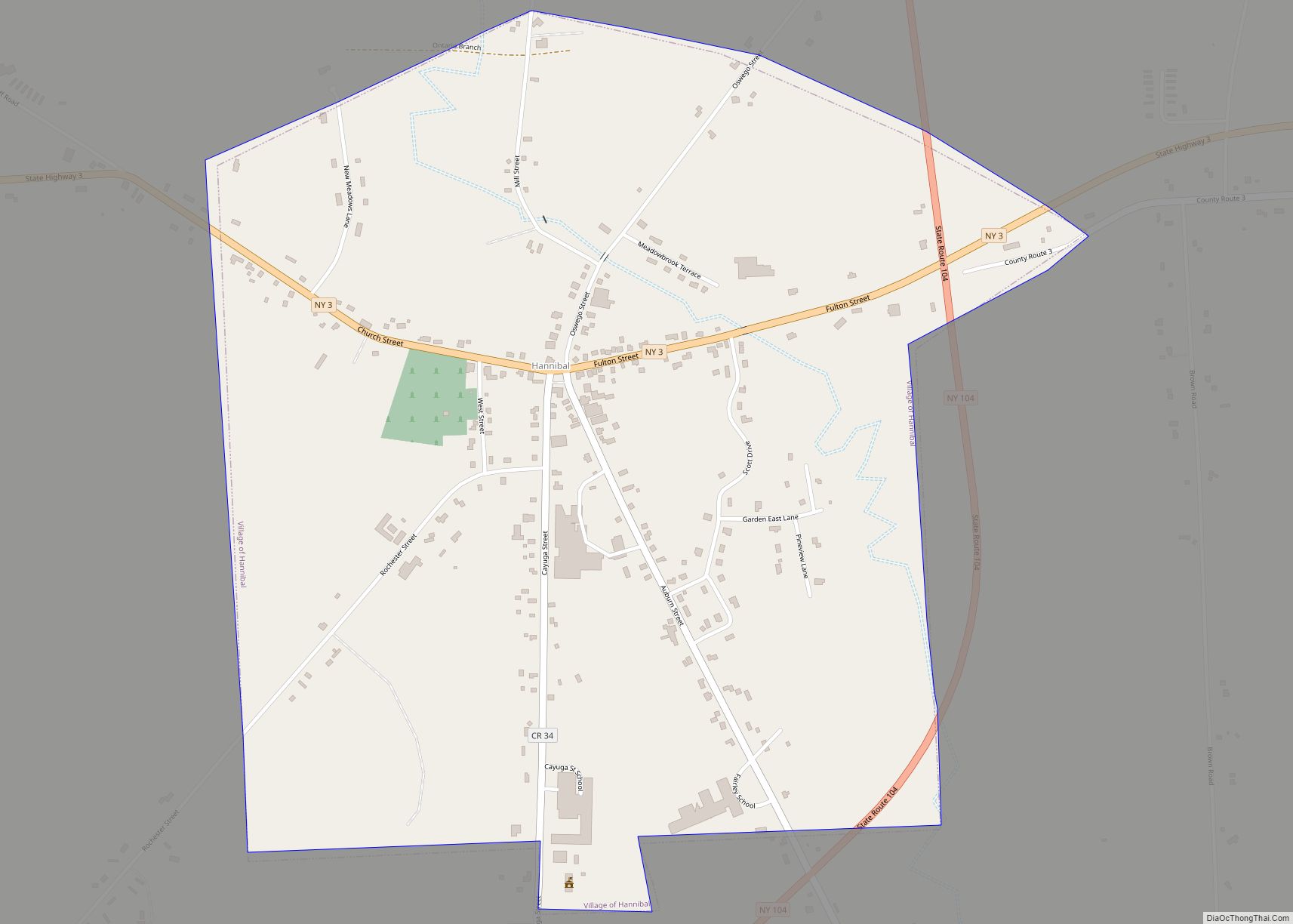
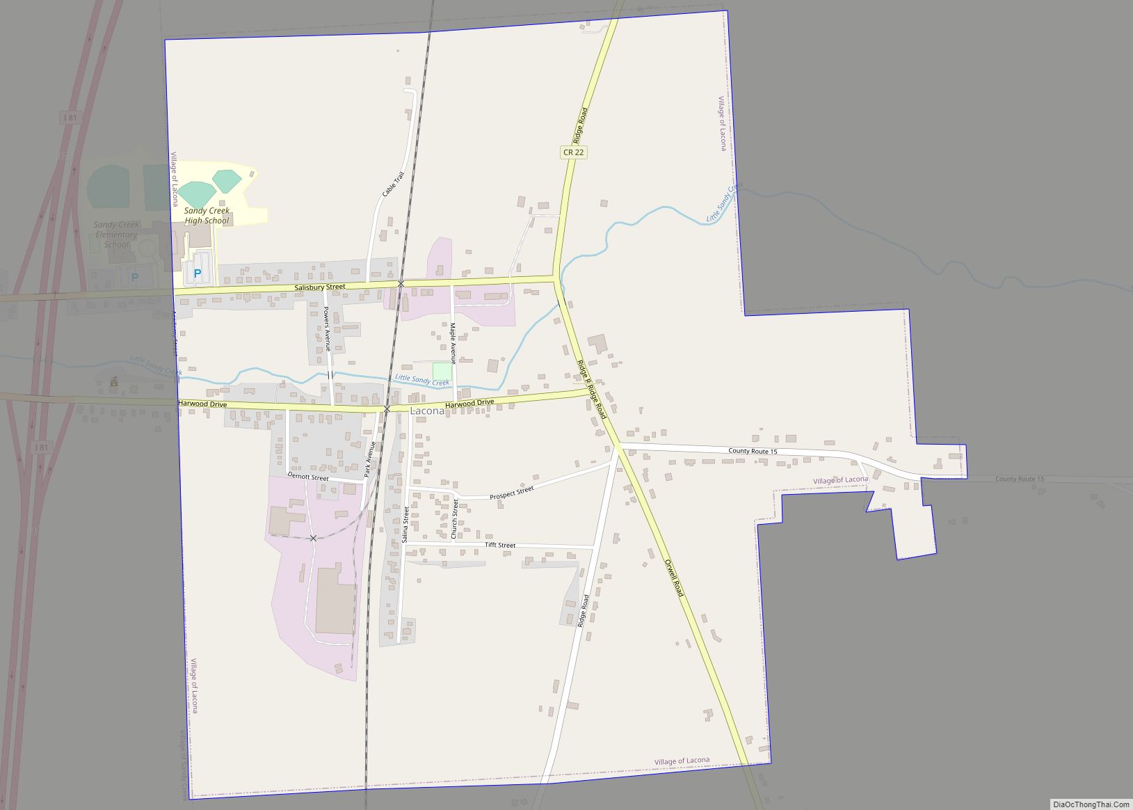
Online Interactive Map
Click on ![]() to view map in "full screen" mode.
to view map in "full screen" mode.
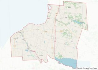
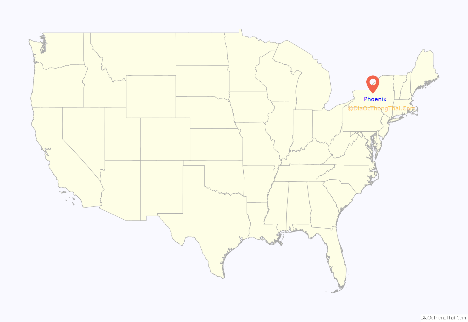
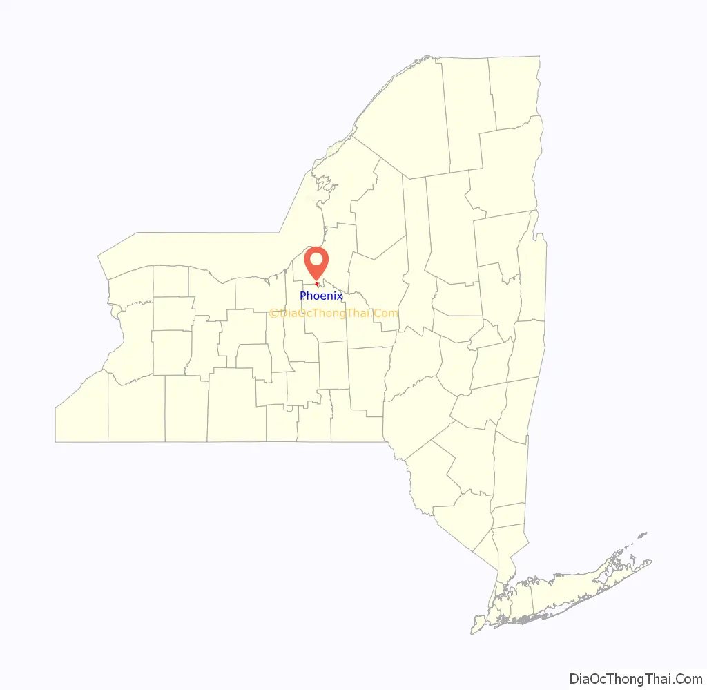
Phoenix location map. Where is Phoenix village?
History
The village was incorporated in 1848.
At around 11:00 pm on September 23, 1916, Phoenix was nearly completely devastated by a fire that destroyed most of the business district, killing 1 person. The fire knocked out use of the fire fighting pumps that the village relied on. The fire lasted until early morning of the 24th.
Oswego Canal Lock 1 is located beside Culvert Street, off Main Street (County Road 57). It was built around 1911, and has a lift of 10.2 ft (3.11 m) to the south. Just north of the canal lock is a heel trunnion single-leaf bascule bridge carrying Culvert Street which raises up when the downstream gates of the lock are opened in order to provide adequate clearance for passing marine vessels. Built in 1986, it has a span of 67 ft (20 m). Another heel trunnion single-leaf bascule bridge is located along the canal lock, constructed in 1912, which was used to access the lockhouse and factories on Mill Island (now called Lock Island) from nearby Bridge Street. It was taken out of service when a driveway was routed to the site from Culvert Street. The bridge is currently locked in the raised position.
On April 20, 2002, around 6:50 am, many residents of Phoenix were shaken awake by a magnitude 5.2 earthquake centered near Plattsburgh, New York. No damage or injuries were reported in the area.
The Northrup-Gilbert House, St. John’s Episcopal Church, and Sweet Memorial Building are listed on the National Register of Historic Places.
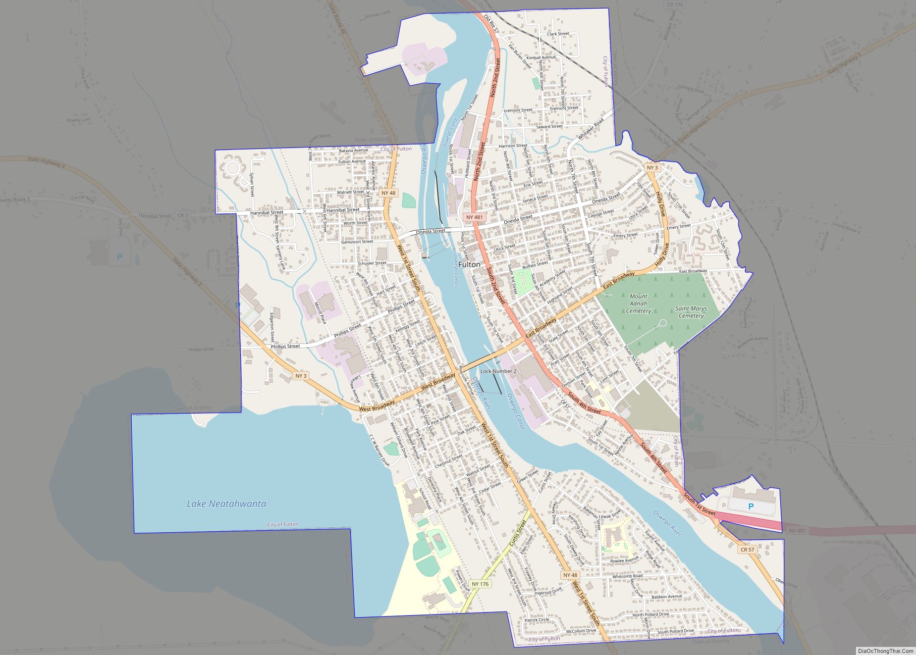
Phoenix Road Map
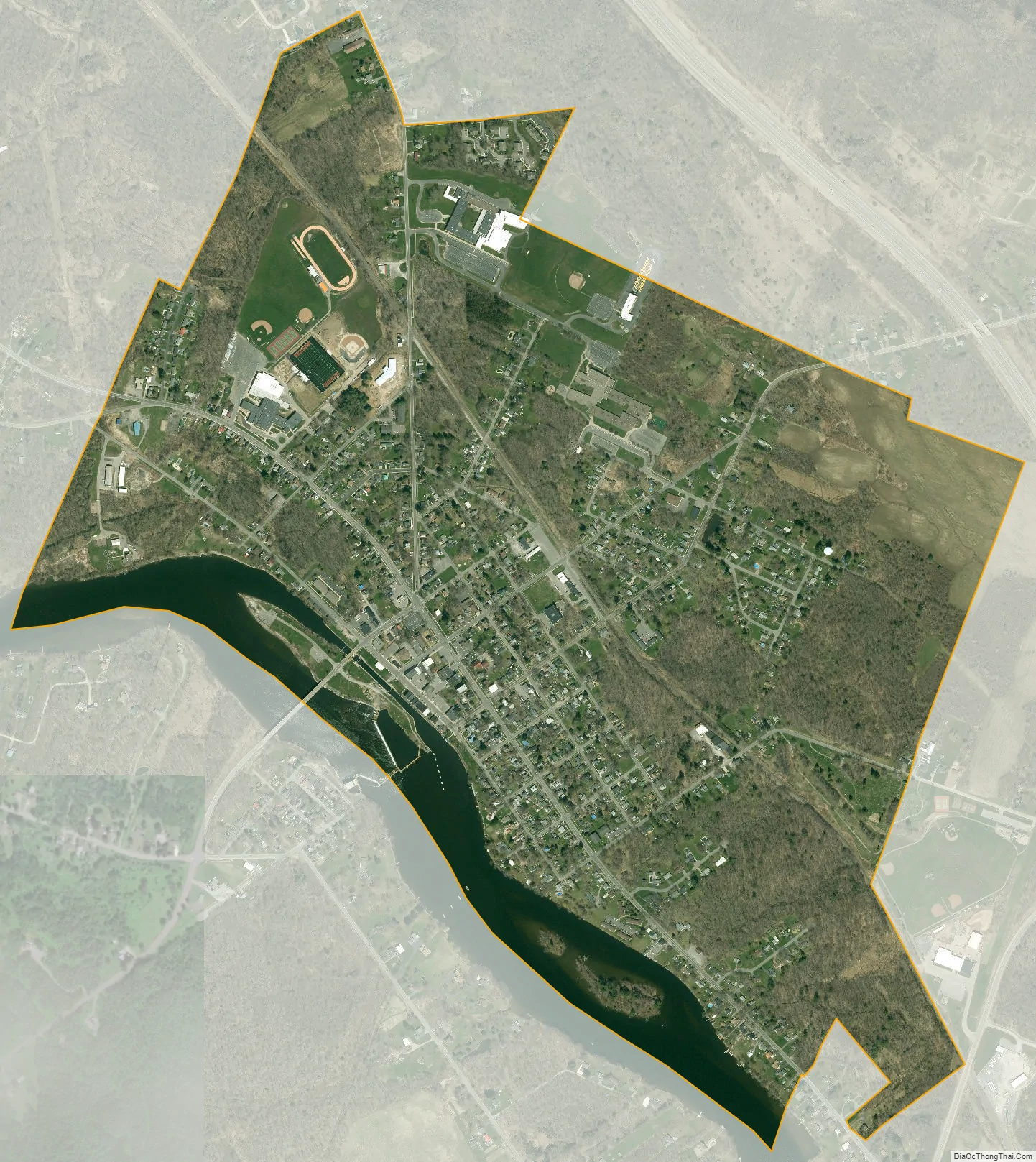
Phoenix city Satellite Map
Geography
The village is on the east side of the Oswego River and the Oswego Canal. Phoenix is located at 43°13′53″N 76°17′53″W / 43.23139°N 76.29806°W / 43.23139; -76.29806 (43.231324, -76.298066). According to the United States Census Bureau, the village has a total area of 1.2 sq mi (3.1 km), of which 1.1 sq mi (2.8 km) is land and 0.1 sq mi (0.26 km) (8.80%) is water.
See also
Map of New York State and its subdivision:- Albany
- Allegany
- Bronx
- Broome
- Cattaraugus
- Cayuga
- Chautauqua
- Chemung
- Chenango
- Clinton
- Columbia
- Cortland
- Delaware
- Dutchess
- Erie
- Essex
- Franklin
- Fulton
- Genesee
- Greene
- Hamilton
- Herkimer
- Jefferson
- Kings
- Lake Ontario
- Lewis
- Livingston
- Madison
- Monroe
- Montgomery
- Nassau
- New York
- Niagara
- Oneida
- Onondaga
- Ontario
- Orange
- Orleans
- Oswego
- Otsego
- Putnam
- Queens
- Rensselaer
- Richmond
- Rockland
- Saint Lawrence
- Saratoga
- Schenectady
- Schoharie
- Schuyler
- Seneca
- Steuben
- Suffolk
- Sullivan
- Tioga
- Tompkins
- Ulster
- Warren
- Washington
- Wayne
- Westchester
- Wyoming
- Yates
- Alabama
- Alaska
- Arizona
- Arkansas
- California
- Colorado
- Connecticut
- Delaware
- District of Columbia
- Florida
- Georgia
- Hawaii
- Idaho
- Illinois
- Indiana
- Iowa
- Kansas
- Kentucky
- Louisiana
- Maine
- Maryland
- Massachusetts
- Michigan
- Minnesota
- Mississippi
- Missouri
- Montana
- Nebraska
- Nevada
- New Hampshire
- New Jersey
- New Mexico
- New York
- North Carolina
- North Dakota
- Ohio
- Oklahoma
- Oregon
- Pennsylvania
- Rhode Island
- South Carolina
- South Dakota
- Tennessee
- Texas
- Utah
- Vermont
- Virginia
- Washington
- West Virginia
- Wisconsin
- Wyoming