Plandome is a village in the Town of North Hempstead in Nassau County, on the North Shore of Long Island, in New York, United States. It is considered part of the Greater Manhasset area, which is anchored by Manhasset. The population was 1,349 at the 2010 census.
The Incorporated Village of Plandome was ranked fifth on Forbes’ 10 most affluent U.S. communities list in 2009.
| Name: | Plandome village |
|---|---|
| LSAD Code: | 47 |
| LSAD Description: | village (suffix) |
| State: | New York |
| County: | Nassau County |
| Incorporated: | 1911 |
| Elevation: | 72 ft (22 m) |
| Total Area: | 0.50 sq mi (1.30 km²) |
| Land Area: | 0.49 sq mi (1.28 km²) |
| Water Area: | 0.01 sq mi (0.02 km²) |
| Total Population: | 1,448 |
| Population Density: | 2,943.09/sq mi (1,135.36/km²) |
| ZIP code: | 11030 |
| FIPS code: | 3658475 |
| GNISfeature ID: | 0960668 |
| Website: | www.villageofplandome.org |
Online Interactive Map
Click on ![]() to view map in "full screen" mode.
to view map in "full screen" mode.
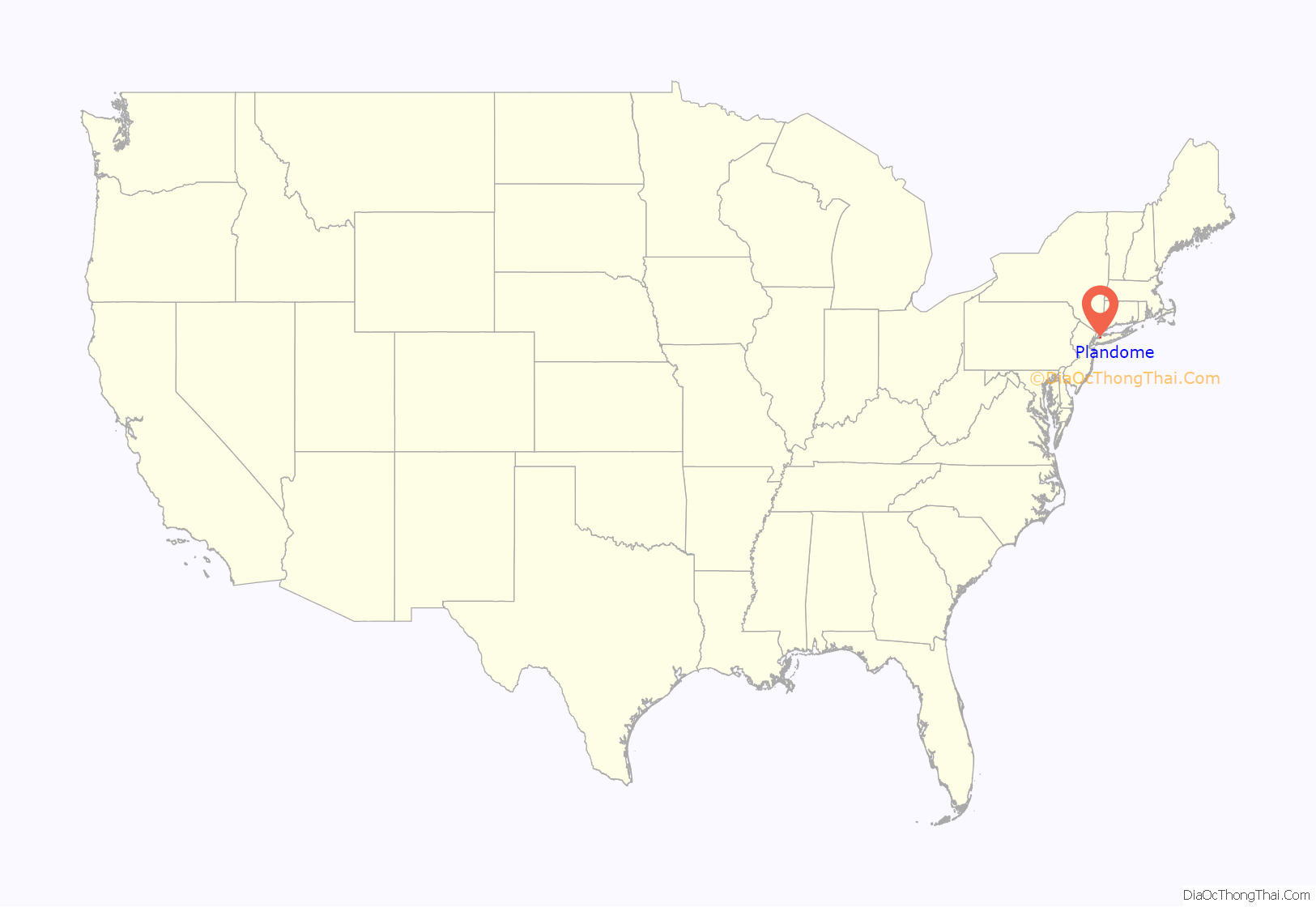
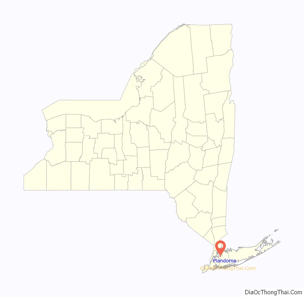
Plandome location map. Where is Plandome village?
History
The Great Neck and Port Washington Railroad, a subsidiary of the Long Island Rail Road, built what is today known as the Port Washington Branch through the community in 1898; Plandome became a flag stop until it received a station in 1909. The original station building suffered a serious fire in January 1987, and was rebuilt along with platform lengthening and refurbishment by 1990.
The Village of Plandome was incorporated in 1911 as the Plandome Land Company began to develop the village itself, though some homes, farmhouses, and mills had been built in the area in prior decades. Plandome, like the surrounding villages Plandome Manor and Plandome Heights, derives its name from the Latin ‘Planus Domus’, meaning plain, or level home.
The Willets Farmhouse, circa 1810, is still extant on Willets Lane. It was built by brewer George Willets of the Willets family of Cow Neck. The house was recently restored and is not currently landmarked. The Almeron and Olive Smith House at 50 South Drive is dated to 1907 and was listed on the National Register of Historic Places in 2006.
In the 1990s, the Reconstructionist Synagogue of the North Shore moved to Plandome from Roslyn Estates.
There remain many historically significant houses belonging to former financiers and industrialists within the village.
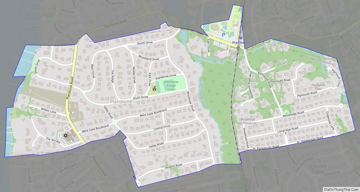
Plandome Road Map
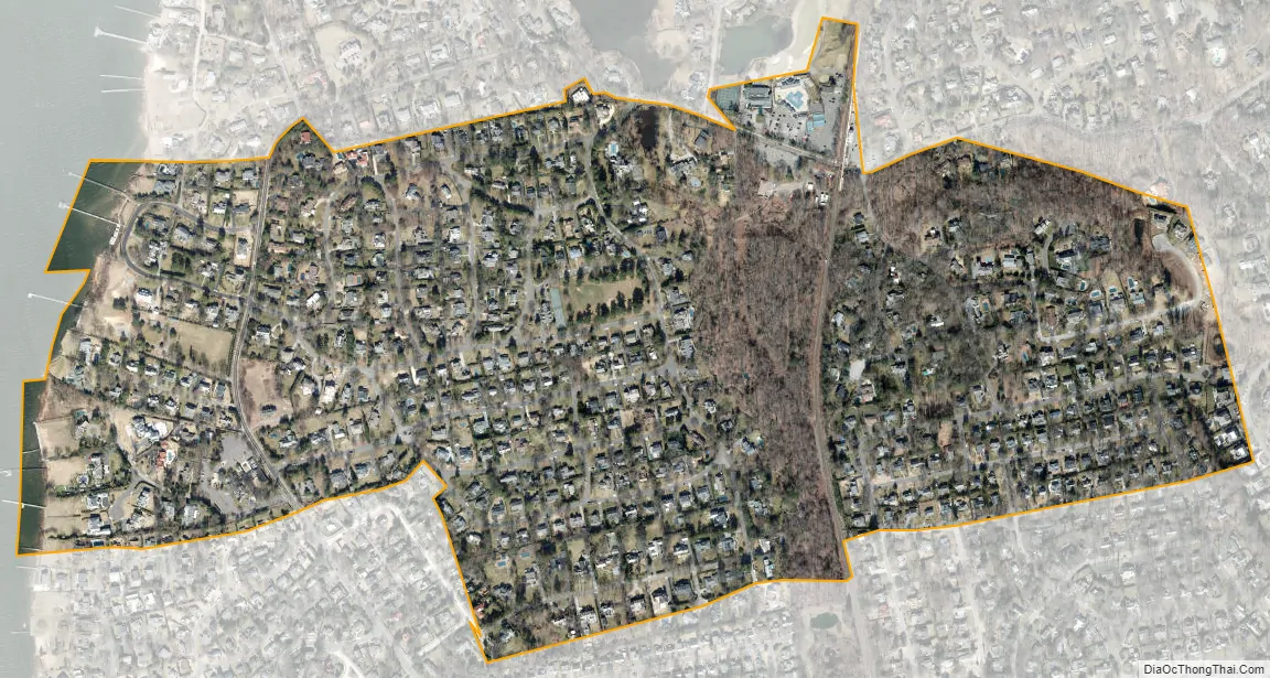
Plandome city Satellite Map
Geography
According to the United States Census Bureau, the village has a total area of 0.5 square miles (1.3 km), of which 0.5 square miles (1.3 km) is land and 2.00% is water.
Plandome is located within the Manhasset Bay Watershed (portions of Plandome also drain to the Leeds Pond sub-watershed of the Manhasset Bay Watershed), and is also located within the larger Long Island Sound/Atlantic Ocean Watershed.
According to the United States Environmental Protection Agency and the United States Geological Survey, the highest point in Plandome is located on Parkwoods Road at the Plandome–Flower Hill border in the southeastern part of the village, at roughly 150 feet (46 m), and the lowest point is Manhasset Bay, which is located at sea level.
See also
Map of New York State and its subdivision:- Albany
- Allegany
- Bronx
- Broome
- Cattaraugus
- Cayuga
- Chautauqua
- Chemung
- Chenango
- Clinton
- Columbia
- Cortland
- Delaware
- Dutchess
- Erie
- Essex
- Franklin
- Fulton
- Genesee
- Greene
- Hamilton
- Herkimer
- Jefferson
- Kings
- Lake Ontario
- Lewis
- Livingston
- Madison
- Monroe
- Montgomery
- Nassau
- New York
- Niagara
- Oneida
- Onondaga
- Ontario
- Orange
- Orleans
- Oswego
- Otsego
- Putnam
- Queens
- Rensselaer
- Richmond
- Rockland
- Saint Lawrence
- Saratoga
- Schenectady
- Schoharie
- Schuyler
- Seneca
- Steuben
- Suffolk
- Sullivan
- Tioga
- Tompkins
- Ulster
- Warren
- Washington
- Wayne
- Westchester
- Wyoming
- Yates
- Alabama
- Alaska
- Arizona
- Arkansas
- California
- Colorado
- Connecticut
- Delaware
- District of Columbia
- Florida
- Georgia
- Hawaii
- Idaho
- Illinois
- Indiana
- Iowa
- Kansas
- Kentucky
- Louisiana
- Maine
- Maryland
- Massachusetts
- Michigan
- Minnesota
- Mississippi
- Missouri
- Montana
- Nebraska
- Nevada
- New Hampshire
- New Jersey
- New Mexico
- New York
- North Carolina
- North Dakota
- Ohio
- Oklahoma
- Oregon
- Pennsylvania
- Rhode Island
- South Carolina
- South Dakota
- Tennessee
- Texas
- Utah
- Vermont
- Virginia
- Washington
- West Virginia
- Wisconsin
- Wyoming


