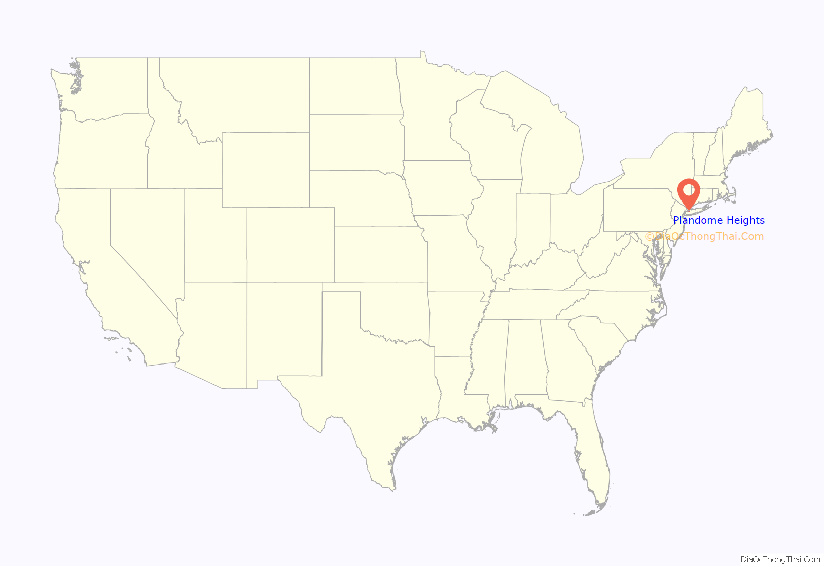
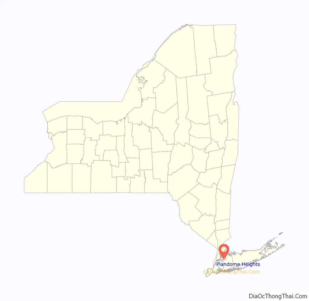
Plandome Heights is a village in Nassau County, on the North Shore of Long Island, in New York, United States. It is considered part of the Greater Manhasset area, which is anchored by Manhasset. The population was 1,005 at the 2010 census.
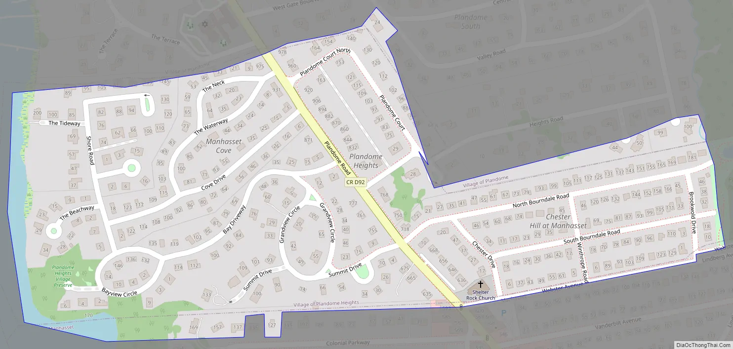
The Incorporated Village of Plandome Heights is located entirely within the Town of North Hempstead and is the southernmost of the three Plandomes.
| Name: | Plandome Heights village |
|---|---|
| LSAD Code: | 47 |
| LSAD Description: | village (suffix) |
| State: | New York |
| County: | Nassau County |
| Incorporated: | June 11, 1929 |
| Elevation: | 89 ft (27 m) |
| Total Area: | 0.19 sq mi (0.49 km²) |
| Land Area: | 0.18 sq mi (0.47 km²) |
| Water Area: | 0.01 sq mi (0.02 km²) |
| Total Population: | 1,009 |
| Population Density: | 5,574.59/sq mi (2,155.37/km²) |
| ZIP code: | 11030 |
| Area code: | 516, 363 |
| FIPS code: | 3658486 |
| GNISfeature ID: | 0960669 |
| Website: | www.plandomeheights-ny.gov |
Online Interactive Map
Click on ![]() to view map in "full screen" mode.
to view map in "full screen" mode.
Plandome Heights location map. Where is Plandome Heights village?
History
In the early 20th century, Benjamin N. Duke of the Duke tobacco family developed large parts of what is now Plandome Heights through the Plandome Heights Company, which was one of Duke’s real estate ventures; many of these homes were built in the Spanish style, which was a popular architectural style at the time. The Duke family owned large portions of Plandome Heights in the early 20th century.
Prior to incorporating, the residents in the original part of Plandome Heights (the western and central portions) had unsuccessfully petitioned for neighboring Plandome to annex their area. This resulted in residents deciding to incorporate following Plandome’s refusal, and Plandome Heights officially became a village on June 11, 1929.
In 1949, Plandome Heights annexed an area adjacent to and immediately east of the village, called Chester Hill; this area is at the southeastern end of Plandome Heights, east of Plandome Road, and includes streets such as Chester Drive and Winthrope Road.
Like the villages of Plandome and Plandome Manor to its north, Plandome Heights derives its name from the Latin ‘Planus Domus’, meaning plain, or level home.
Plandome Heights Road Map
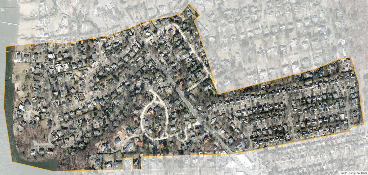
Plandome Heights city Satellite Map
Geography
According to the United States Census Bureau, the village has a total area of 0.2 square miles (0.52 km), of which 0.2 square miles (0.52 km) is land and 5.26% is water.
Plandome Heights is located within the Manhasset Bay Watershed, which in turn is located within the larger Long Island Sound/Atlantic Ocean Watershed.
According to the United States Environmental Protection Agency and the USGS, the highest point in Plandome Heights is located between Chester Drive, South Bourndale Road, Webster Avenue, and Winthrope Road in the Chester Hill section of the village, at roughly 113 feet (34 m), and the lowest point is Manhasset Bay, which is at sea level.
See also
Map of New York State and its subdivision:- Albany
- Allegany
- Bronx
- Broome
- Cattaraugus
- Cayuga
- Chautauqua
- Chemung
- Chenango
- Clinton
- Columbia
- Cortland
- Delaware
- Dutchess
- Erie
- Essex
- Franklin
- Fulton
- Genesee
- Greene
- Hamilton
- Herkimer
- Jefferson
- Kings
- Lake Ontario
- Lewis
- Livingston
- Madison
- Monroe
- Montgomery
- Nassau
- New York
- Niagara
- Oneida
- Onondaga
- Ontario
- Orange
- Orleans
- Oswego
- Otsego
- Putnam
- Queens
- Rensselaer
- Richmond
- Rockland
- Saint Lawrence
- Saratoga
- Schenectady
- Schoharie
- Schuyler
- Seneca
- Steuben
- Suffolk
- Sullivan
- Tioga
- Tompkins
- Ulster
- Warren
- Washington
- Wayne
- Westchester
- Wyoming
- Yates
- Alabama
- Alaska
- Arizona
- Arkansas
- California
- Colorado
- Connecticut
- Delaware
- District of Columbia
- Florida
- Georgia
- Hawaii
- Idaho
- Illinois
- Indiana
- Iowa
- Kansas
- Kentucky
- Louisiana
- Maine
- Maryland
- Massachusetts
- Michigan
- Minnesota
- Mississippi
- Missouri
- Montana
- Nebraska
- Nevada
- New Hampshire
- New Jersey
- New Mexico
- New York
- North Carolina
- North Dakota
- Ohio
- Oklahoma
- Oregon
- Pennsylvania
- Rhode Island
- South Carolina
- South Dakota
- Tennessee
- Texas
- Utah
- Vermont
- Virginia
- Washington
- West Virginia
- Wisconsin
- Wyoming


