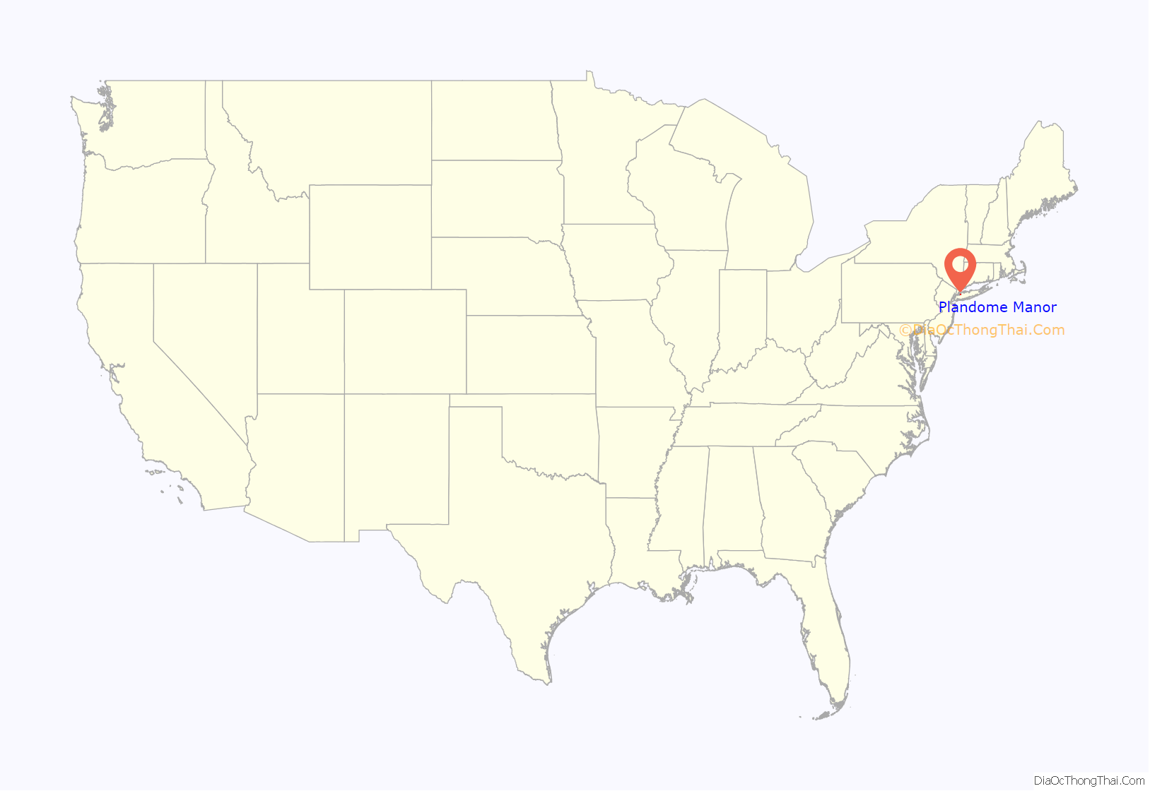
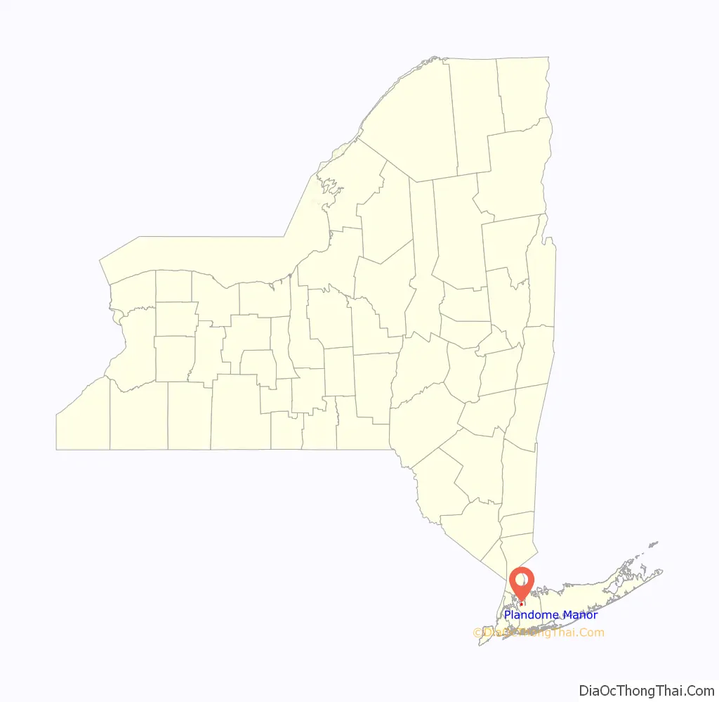
Plandome Manor is a village in Nassau County, on the North Shore of Long Island, in New York, United States. The majority of the village is considered part of the Greater Manhasset area, which is anchored by Manhasset. The easternmost part of the village is more closely associated with Port Washington. The population was 872 at the 2010 census.
The Incorporated Village of Plandome Manor is in the Town of North Hempstead, and is the northernmost of the three Plandomes.
| Name: | Plandome Manor village |
|---|---|
| LSAD Code: | 47 |
| LSAD Description: | village (suffix) |
| State: | New York |
| County: | Nassau County |
| Incorporated: | 1931 |
| Elevation: | 36 ft (11 m) |
| Total Area: | 0.63 sq mi (1.64 km²) |
| Land Area: | 0.54 sq mi (1.40 km²) |
| Water Area: | 0.09 sq mi (0.24 km²) |
| Total Population: | 793 |
| Population Density: | 1,463.10/sq mi (565.21/km²) |
| ZIP code: | 11030 |
| Area code: | 516 |
| FIPS code: | 3658497 |
| GNISfeature ID: | 0960670 |
| Website: | plandomemanor.com |
Online Interactive Map
Click on ![]() to view map in "full screen" mode.
to view map in "full screen" mode.
Plandome Manor location map. Where is Plandome Manor village?
History
The Village of Plandome Manor incorporated in 1931. Like the villages of Plandome and Plandome Heights to its south, Plandome Manor derives its name from the Latin ‘Planus Domus’, meaning plain, or level home. The manor house of Matthias Nicoll who was an early mayor of New York City and among the first generation of the Nicoll family on Long Island, was a wood-frame home built in the 1670s, and one of the first homesteads in this area of Cow Neck, the namesake of the Cow Neck Peninsula (also known as the Manhasset/Port Washington Peninsula). The manor itself was torn down in 1998 and replaced with another estate.
Author Frances H. Burnett, author of The Secret Garden, built her home, Fairseat, in Plandome Park in 1908, and lived there until her death in 1924. Burnett’s son, Vivian, and his wife Constance, had erected a home nearby on Bayview Road after their marriage. Following Frances Burnett’s death, her nephew, publisher Archer P. Fahnestock moved into Fairseat, but the home burned down leaving only the stucco carriage house and garden intact. In 1940, Fahnestock sold it to Leroy Grumman.
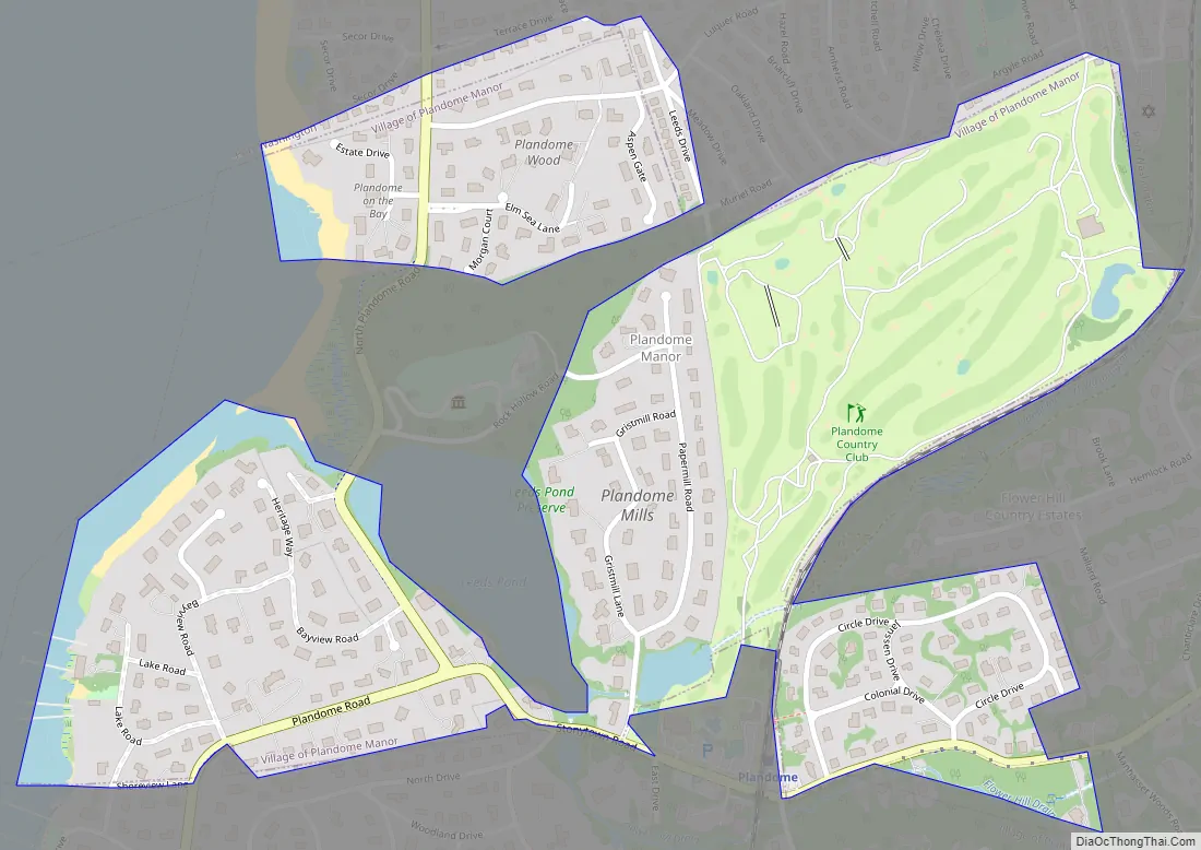
Plandome Manor Road Map
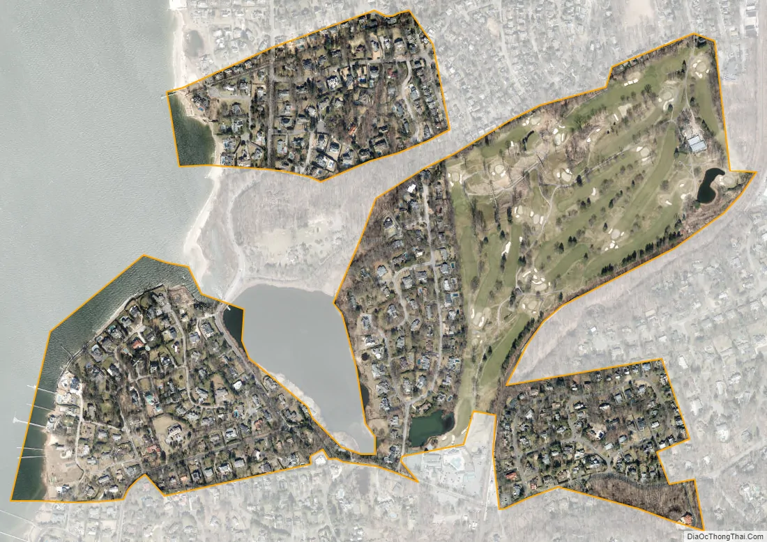
Plandome Manor city Satellite Map
Geography
According to the United States Census Bureau, the village has a total area of 0.6 square miles (1.6 km), of which 0.5 square miles (1.3 km) is land and 0.1 square miles (0.26 km), or 13.56%, is water – including Leeds Pond in the northeastern part of the village.
Plandome Manor is located within the Leeds Pond Subwatershed (part of the Manhasset Bay Watershed), and is located within the larger Long Island Sound/Atlantic Ocean Watershed.
According to the United States Environmental Protection Agency and the United States Geological Survey, the highest point in Plandome Manor is located at the Plandome Country Club’s (and the village’s) northeastern corner, at roughly 160 feet (49 m), and the lowest point is Manhasset Bay, which is at sea level.
See also
Map of New York State and its subdivision:- Albany
- Allegany
- Bronx
- Broome
- Cattaraugus
- Cayuga
- Chautauqua
- Chemung
- Chenango
- Clinton
- Columbia
- Cortland
- Delaware
- Dutchess
- Erie
- Essex
- Franklin
- Fulton
- Genesee
- Greene
- Hamilton
- Herkimer
- Jefferson
- Kings
- Lake Ontario
- Lewis
- Livingston
- Madison
- Monroe
- Montgomery
- Nassau
- New York
- Niagara
- Oneida
- Onondaga
- Ontario
- Orange
- Orleans
- Oswego
- Otsego
- Putnam
- Queens
- Rensselaer
- Richmond
- Rockland
- Saint Lawrence
- Saratoga
- Schenectady
- Schoharie
- Schuyler
- Seneca
- Steuben
- Suffolk
- Sullivan
- Tioga
- Tompkins
- Ulster
- Warren
- Washington
- Wayne
- Westchester
- Wyoming
- Yates
- Alabama
- Alaska
- Arizona
- Arkansas
- California
- Colorado
- Connecticut
- Delaware
- District of Columbia
- Florida
- Georgia
- Hawaii
- Idaho
- Illinois
- Indiana
- Iowa
- Kansas
- Kentucky
- Louisiana
- Maine
- Maryland
- Massachusetts
- Michigan
- Minnesota
- Mississippi
- Missouri
- Montana
- Nebraska
- Nevada
- New Hampshire
- New Jersey
- New Mexico
- New York
- North Carolina
- North Dakota
- Ohio
- Oklahoma
- Oregon
- Pennsylvania
- Rhode Island
- South Carolina
- South Dakota
- Tennessee
- Texas
- Utah
- Vermont
- Virginia
- Washington
- West Virginia
- Wisconsin
- Wyoming


