Plessis is a hamlet and census-designated place in the town of Alexandria in Jefferson County, New York, United States. Its population was 164 as of the 2010 census. Plessis had a post office from September 16, 1823, until March 26, 2011; it still has its own ZIP code, 13675. New York State Route 26 passes through the community.
| Name: | Plessis CDP |
|---|---|
| LSAD Code: | 57 |
| LSAD Description: | CDP (suffix) |
| State: | New York |
| County: | Jefferson County |
| Elevation: | 404 ft (123 m) |
| Total Area: | 0.35 sq mi (0.90 km²) |
| Land Area: | 0.35 sq mi (0.90 km²) |
| Water Area: | 0.00 sq mi (0.00 km²) |
| Total Population: | 126 |
| Population Density: | 364.16/sq mi (140.69/km²) |
| ZIP code: | 13675 |
| Area code: | 315 & 680 |
| FIPS code: | 3658739 |
| GNISfeature ID: | 960751 |
Online Interactive Map
Click on ![]() to view map in "full screen" mode.
to view map in "full screen" mode.
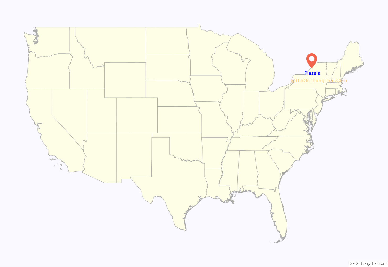
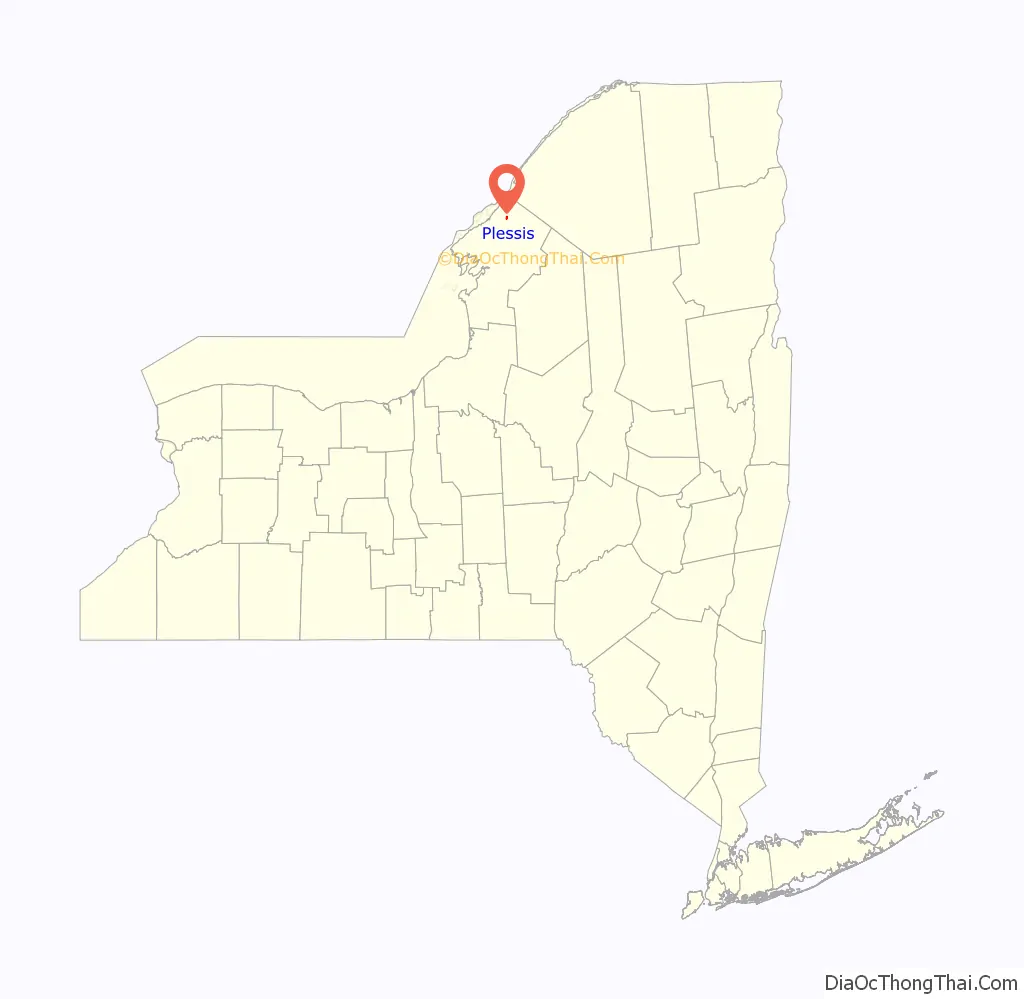
Plessis location map. Where is Plessis CDP?
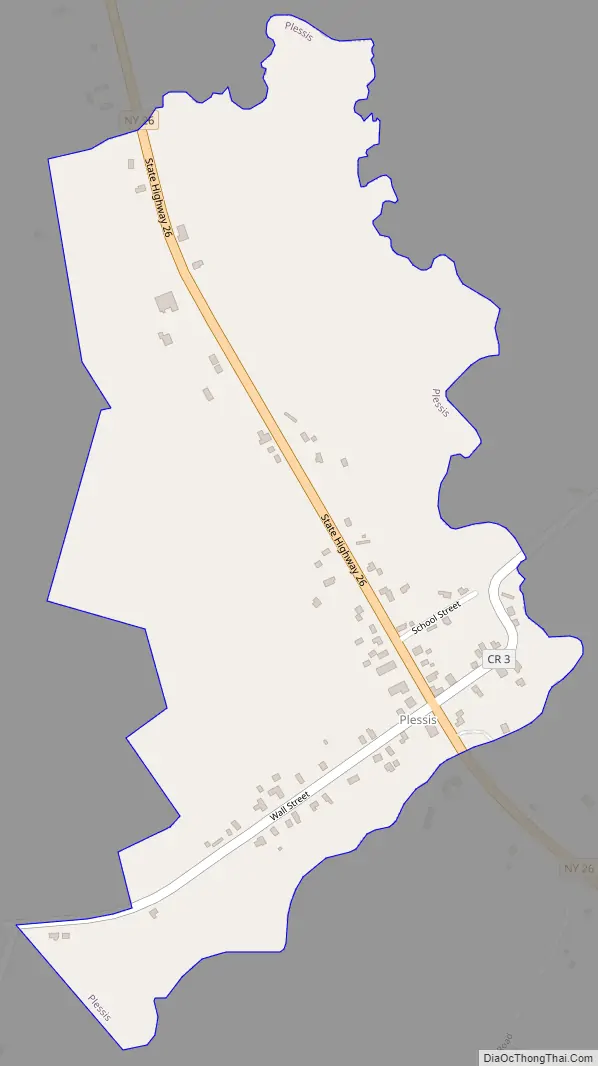
Plessis Road Map
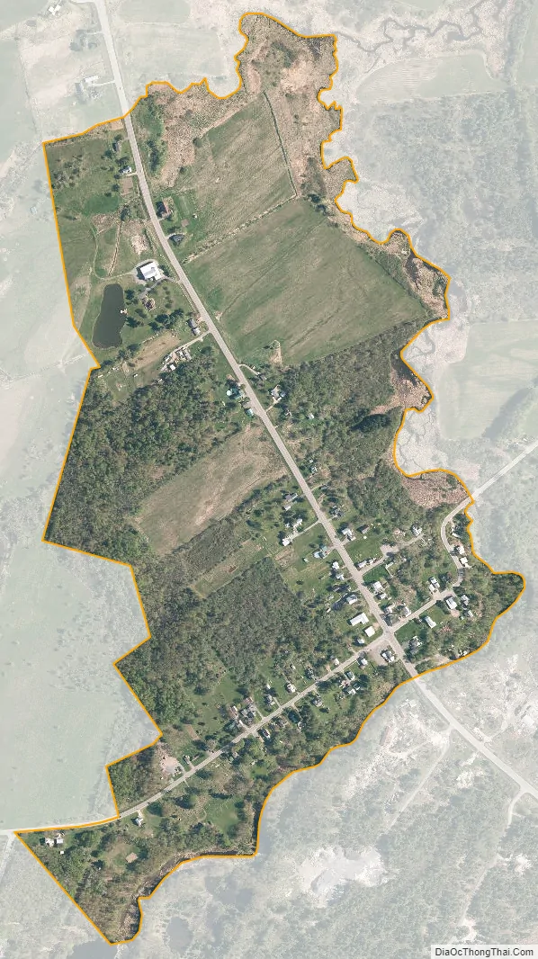
Plessis city Satellite Map
Geography
According to the U.S. Census Bureau, the community has an area of 0.346 square miles (0.90 km), all land.
See also
Map of New York State and its subdivision:- Albany
- Allegany
- Bronx
- Broome
- Cattaraugus
- Cayuga
- Chautauqua
- Chemung
- Chenango
- Clinton
- Columbia
- Cortland
- Delaware
- Dutchess
- Erie
- Essex
- Franklin
- Fulton
- Genesee
- Greene
- Hamilton
- Herkimer
- Jefferson
- Kings
- Lake Ontario
- Lewis
- Livingston
- Madison
- Monroe
- Montgomery
- Nassau
- New York
- Niagara
- Oneida
- Onondaga
- Ontario
- Orange
- Orleans
- Oswego
- Otsego
- Putnam
- Queens
- Rensselaer
- Richmond
- Rockland
- Saint Lawrence
- Saratoga
- Schenectady
- Schoharie
- Schuyler
- Seneca
- Steuben
- Suffolk
- Sullivan
- Tioga
- Tompkins
- Ulster
- Warren
- Washington
- Wayne
- Westchester
- Wyoming
- Yates
- Alabama
- Alaska
- Arizona
- Arkansas
- California
- Colorado
- Connecticut
- Delaware
- District of Columbia
- Florida
- Georgia
- Hawaii
- Idaho
- Illinois
- Indiana
- Iowa
- Kansas
- Kentucky
- Louisiana
- Maine
- Maryland
- Massachusetts
- Michigan
- Minnesota
- Mississippi
- Missouri
- Montana
- Nebraska
- Nevada
- New Hampshire
- New Jersey
- New Mexico
- New York
- North Carolina
- North Dakota
- Ohio
- Oklahoma
- Oregon
- Pennsylvania
- Rhode Island
- South Carolina
- South Dakota
- Tennessee
- Texas
- Utah
- Vermont
- Virginia
- Washington
- West Virginia
- Wisconsin
- Wyoming


