Poquott /poʊˈkwɒt/ is a village in Suffolk County, New York, United States. The population was 953 at the 2010 census. The village is located in the Town of Brookhaven, on the North Shore of Long Island, and is officially known as the Incorporated Village of Poquott.
| Name: | Poquott village |
|---|---|
| LSAD Code: | 47 |
| LSAD Description: | village (suffix) |
| State: | New York |
| County: | Suffolk County |
| Elevation: | 66 ft (20 m) |
| Total Area: | 0.58 sq mi (1.52 km²) |
| Land Area: | 0.44 sq mi (1.14 km²) |
| Water Area: | 0.15 sq mi (0.38 km²) |
| Total Population: | 903 |
| Population Density: | 2,061.64/sq mi (795.18/km²) |
| ZIP code: | 11733 |
| Area code: | 631, 934 |
| FIPS code: | 3659157 |
| GNISfeature ID: | 0960954 |
| Website: | www.villageofpoquott.com |
Online Interactive Map
Click on ![]() to view map in "full screen" mode.
to view map in "full screen" mode.
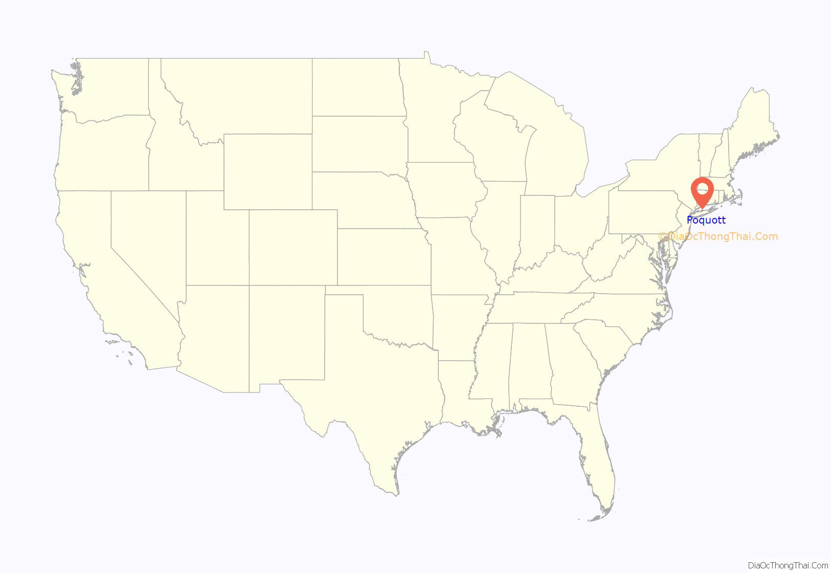
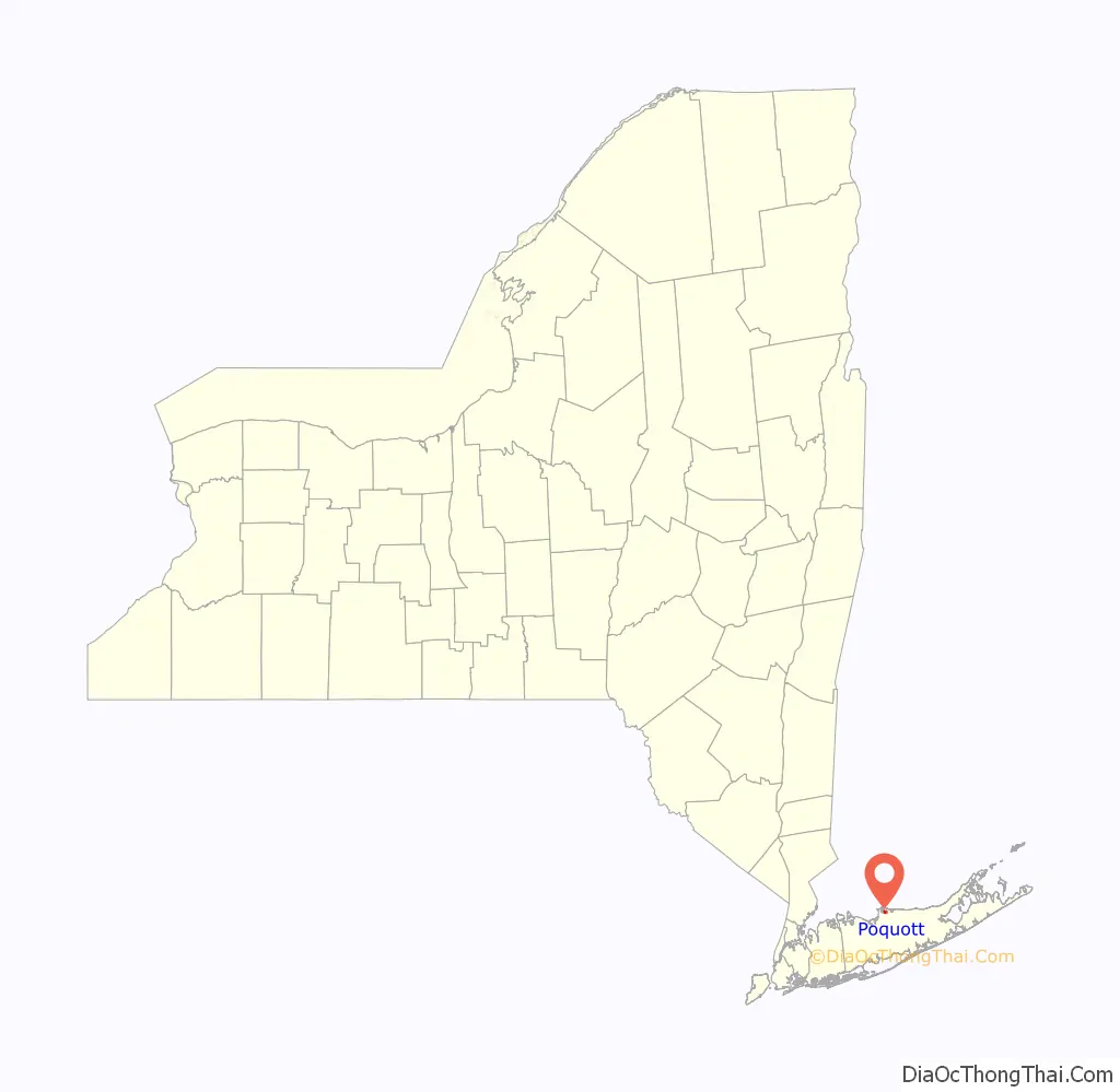
Poquott location map. Where is Poquott village?
History
Poquott was founded by European settlers in 1659. The peninsula came to be known as “George’s Neck”, and was developed mostly as farmland. A fort with a single 32-pound gun, dubbed “Fort Nonsense”, was erected at the tip of Poquott during the War of 1812. It did little to deter the British raiders who entered Port Jefferson Harbor.
As the 20th century approached, “California Grove” was established at what is now the foot of Washington Street (1883). California Grove was an amusement park that featured an oyster restaurant, dancing pavilion, skating rink, picnic grounds, and a pier at which the steamboat Notowantuc would unload tourists from Connecticut. The establishment of California Grove led to Poquott’s development as a summer bungalow community.
Poquott continued to grow as a summer community. Several camps (Dr. Petit’s Camp/Camp Woodbine/Pine Bluff Camp) dotted the shorelines of Poquott. At the turn of the century, large swaths of George’s Neck came into the hands of world traveler, financier, and businessman Edward Larocque Tinker. The Tinker family built several stunning homes throughout Poquott.
Residents fought hard to preserve “Bayview Park”, as Poquott was referred to “back in the day”, when plans came up to develop the shorelines for industry. The Village of Poquott was ultimately incorporated in 1931. Extensive development took place in Poquott after the sale of the Tinker Estate that was later subdivided into Tinker Bluff, in the 1980s. The Village now consists of primarily year-round residences, although a few summer homes still remain.
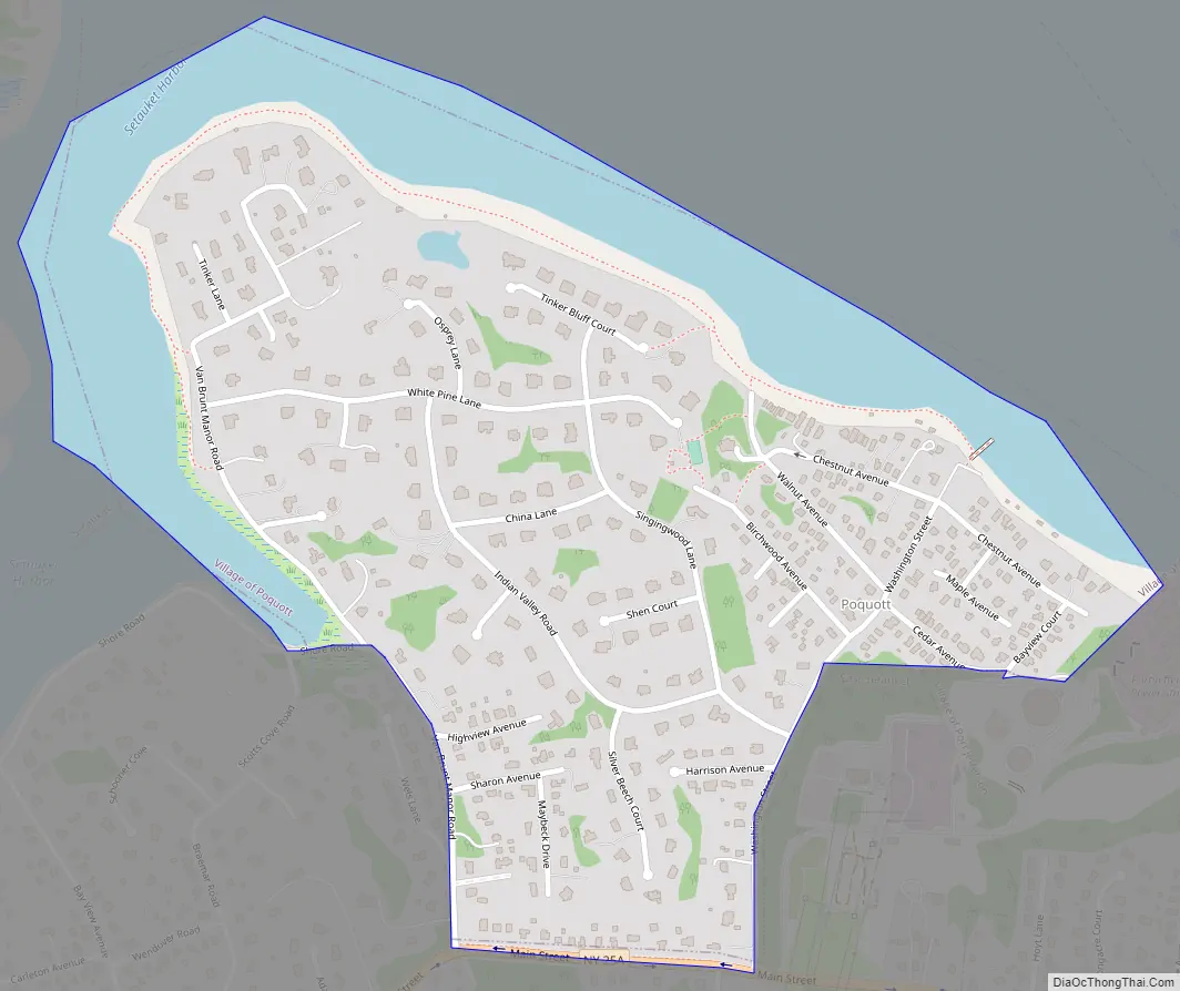
Poquott Road Map
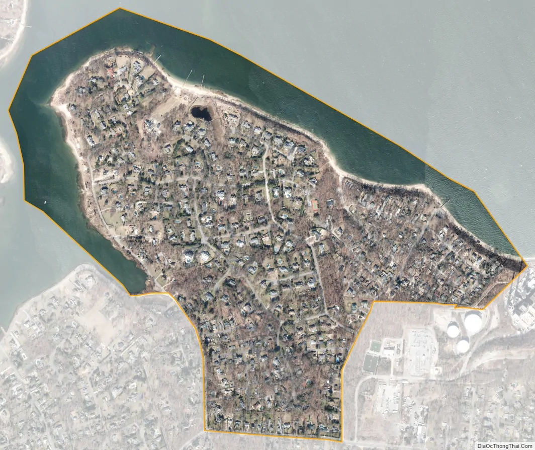
Poquott city Satellite Map
Geography
According to the United States Census Bureau, the village has a total area of 0.6 square miles (1.6 km), of which 0.4 square miles (1.0 km) is land and 0.2 square miles (0.52 km), or 27.12%, is water. Residents have access to two beaches and a harbor front park. Walnut Beach lies on the shore of Port Jefferson Harbor, while Van Brunt Manor Beach allows for access to the waters of Setauket Harbor. Both beaches feature dinghy and kayak racks. California Park features two large fields, a gazebo, a private boat ramp, dinghy racks, and a playground. All residents are granted exclusive mooring rights off Poquott’s shoreline.
Village Hall lies at the foot of Birchwood Avenue, and adjoins Trustees Park. The park offers Poquott residents over two acres of scenic parkland, a greenhouse, private tennis courts, communal gardens, a playground, and picnicking areas.
Two easements, Steve’s Path and the “Indian Trail”, allow for additional access to Port Jefferson Harbor. Steve’s Path connects Tinker Bluff Court to Port Jefferson Harbor, and the Indian Trail connects Birchwood Avenue to Walnut Beach
See also
Map of New York State and its subdivision:- Albany
- Allegany
- Bronx
- Broome
- Cattaraugus
- Cayuga
- Chautauqua
- Chemung
- Chenango
- Clinton
- Columbia
- Cortland
- Delaware
- Dutchess
- Erie
- Essex
- Franklin
- Fulton
- Genesee
- Greene
- Hamilton
- Herkimer
- Jefferson
- Kings
- Lake Ontario
- Lewis
- Livingston
- Madison
- Monroe
- Montgomery
- Nassau
- New York
- Niagara
- Oneida
- Onondaga
- Ontario
- Orange
- Orleans
- Oswego
- Otsego
- Putnam
- Queens
- Rensselaer
- Richmond
- Rockland
- Saint Lawrence
- Saratoga
- Schenectady
- Schoharie
- Schuyler
- Seneca
- Steuben
- Suffolk
- Sullivan
- Tioga
- Tompkins
- Ulster
- Warren
- Washington
- Wayne
- Westchester
- Wyoming
- Yates
- Alabama
- Alaska
- Arizona
- Arkansas
- California
- Colorado
- Connecticut
- Delaware
- District of Columbia
- Florida
- Georgia
- Hawaii
- Idaho
- Illinois
- Indiana
- Iowa
- Kansas
- Kentucky
- Louisiana
- Maine
- Maryland
- Massachusetts
- Michigan
- Minnesota
- Mississippi
- Missouri
- Montana
- Nebraska
- Nevada
- New Hampshire
- New Jersey
- New Mexico
- New York
- North Carolina
- North Dakota
- Ohio
- Oklahoma
- Oregon
- Pennsylvania
- Rhode Island
- South Carolina
- South Dakota
- Tennessee
- Texas
- Utah
- Vermont
- Virginia
- Washington
- West Virginia
- Wisconsin
- Wyoming


