Port Washington is a hamlet and census-designated place (CDP) on the Cow Neck Peninsula in the Town of North Hempstead, in Nassau County, on the North Shore of Long Island, in New York. The hamlet is the anchor community of the Greater Port Washington area. The population was 16,753 at the 2020 census.
| Name: | Port Washington CDP |
|---|---|
| LSAD Code: | 57 |
| LSAD Description: | CDP (suffix) |
| State: | New York |
| County: | Nassau County |
| Elevation: | 98 ft (30 m) |
| Total Area: | 5.65 sq mi (14.64 km²) |
| Land Area: | 4.20 sq mi (10.88 km²) |
| Water Area: | 1.45 sq mi (3.76 km²) |
| Total Population: | 16,753 |
| Population Density: | 3,987.86/sq mi (1,539.71/km²) |
| FIPS code: | 3659520 |
| GNISfeature ID: | 0960979 |
| Website: | www.pwcoc.org |
Online Interactive Map
Click on ![]() to view map in "full screen" mode.
to view map in "full screen" mode.
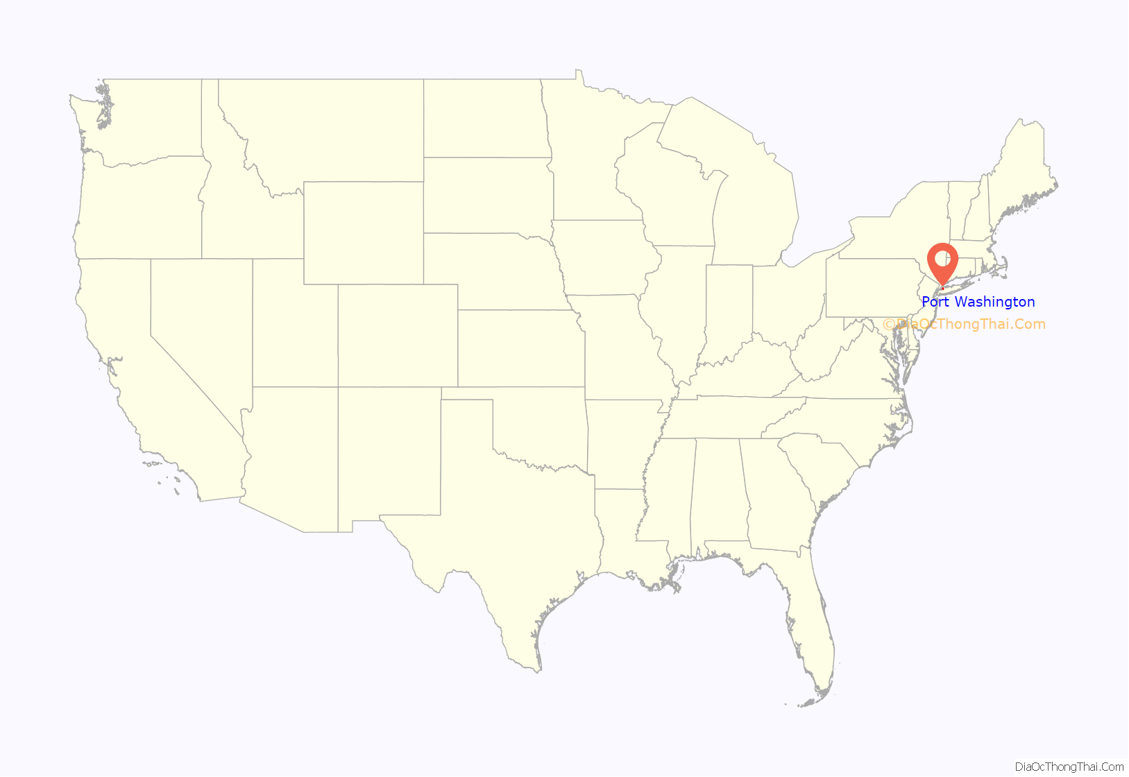
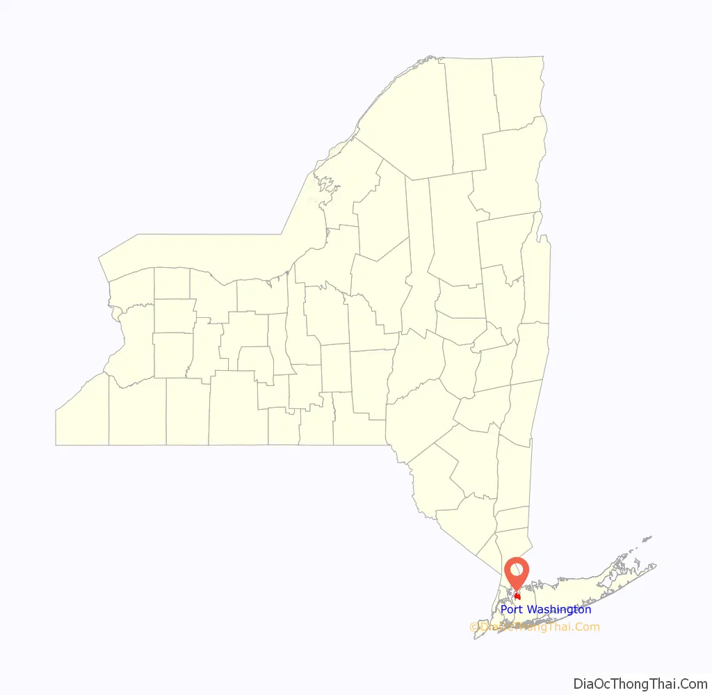
Port Washington location map. Where is Port Washington CDP?
History
Much of the Port Washington area was initially settled by colonists in 1644, after they purchased land from the people of the Matinecock Nation.
In the 1870s, Port Washington became an important sand-mining town; it had the largest sandbank east of the Mississippi and easy barge access to Manhattan. Some 140 million cubic yards of local sand were used for concrete for New York skyscrapers (including the Empire State and Chrysler buildings), in addition to the New York City Subway. In 1998, the sand mines were redeveloped as Harbor Links – a golf course for North Hempstead residents.
In 1930, Port Washington tried to incorporate itself as a city, which would have had the same boundaries as the Port Washington Union Free School District’s, excluding Sands Point, which had already incorporated itself as a village. This plan ultimately failed when the bill was killed after Baxter Estates, Flower Hill, and Manorhaven incorporated themselves as villages in order to retain home rule of their respective areas.
In the late 1930s, prior to the opening of the Marine Air Terminal at LaGuardia Airport, Port Washington was Pan-American World Airways’ New York base for their Yankee Clipper Boeing B-314 flying boats; the waters of Manhasset Bay were ideal for flying boat operations. Common destinations served included London, Southampton (UK), the Azores, and Bermuda.
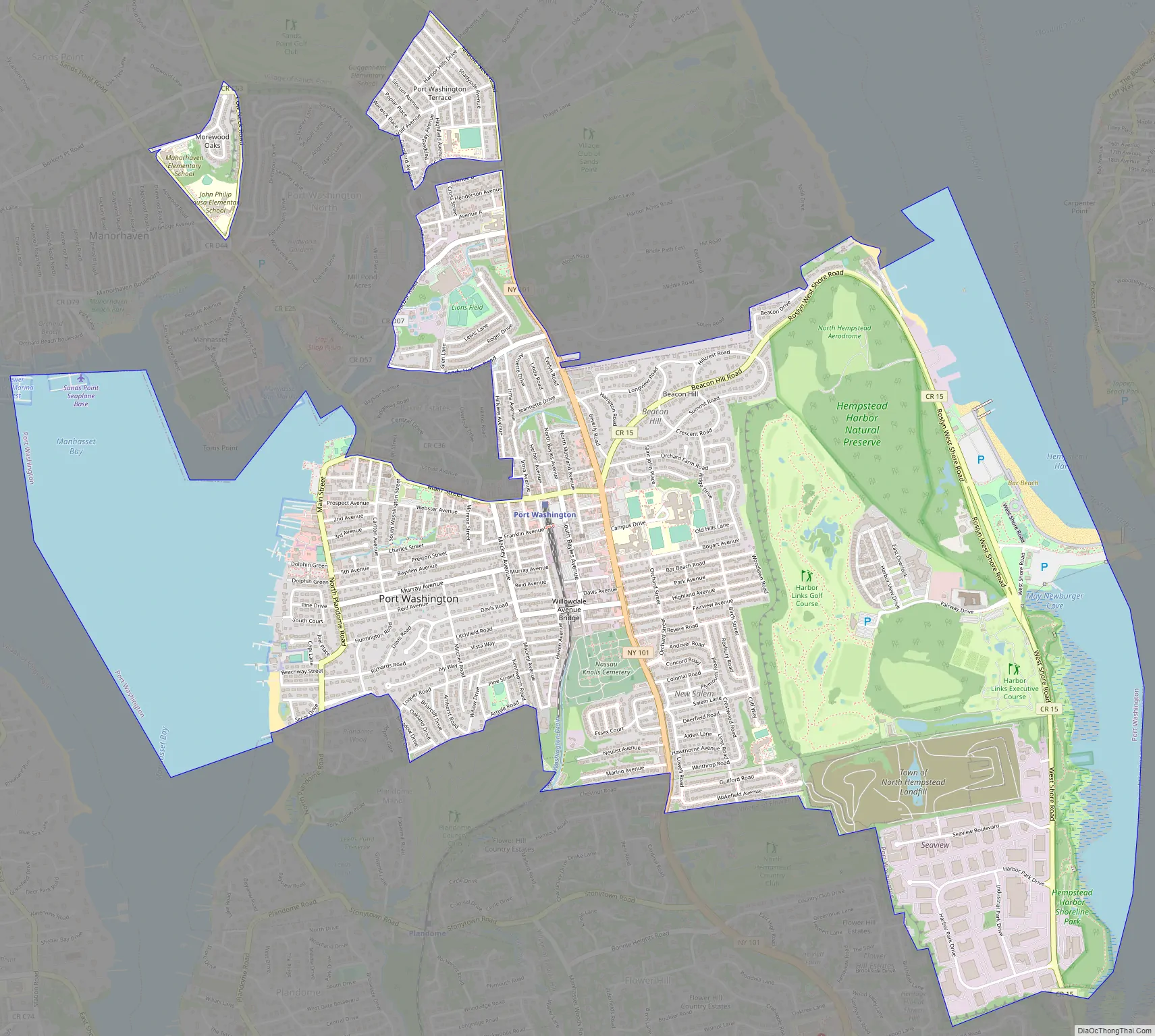
Port Washington Road Map
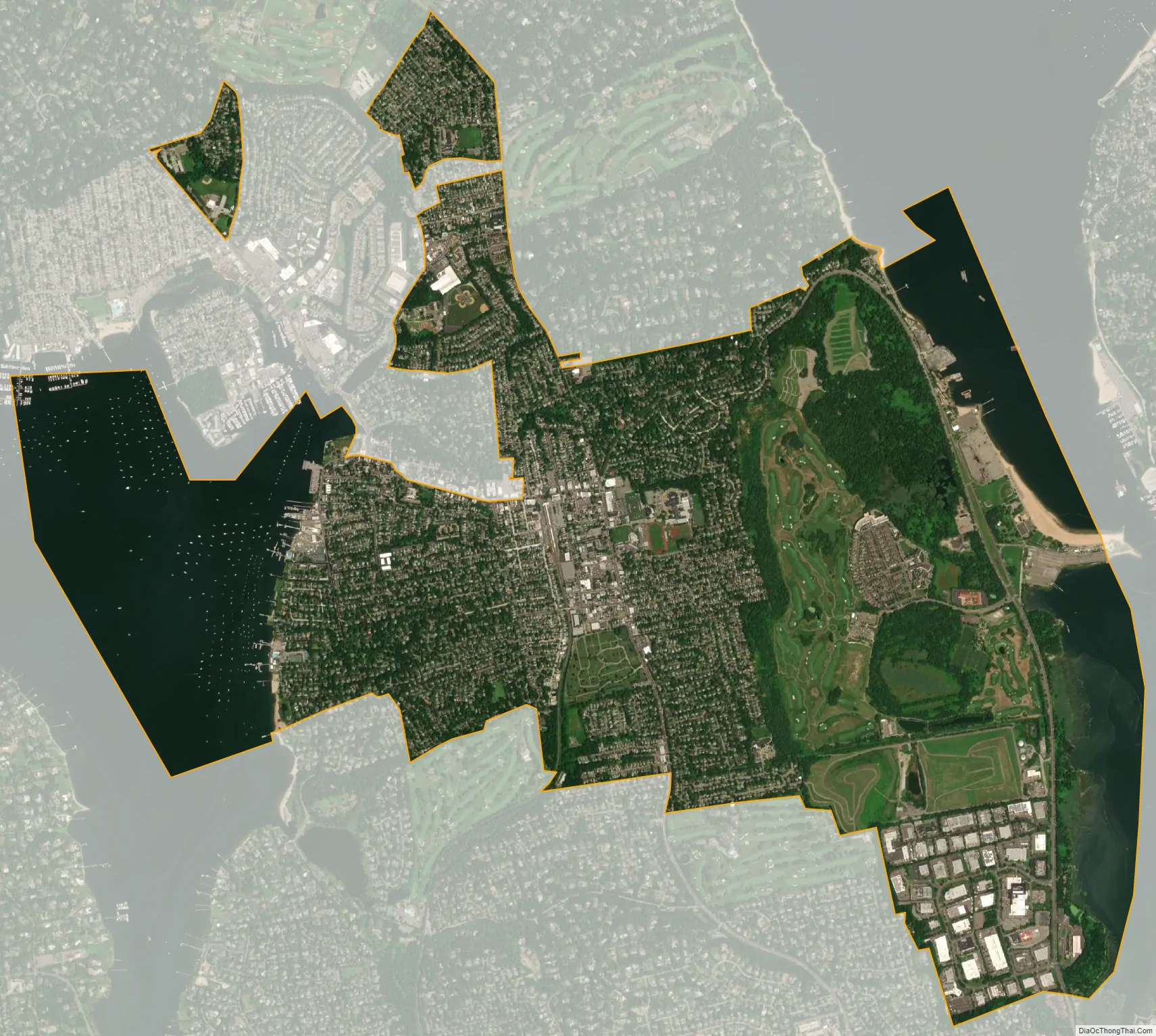
Port Washington city Satellite Map
Geography
According to the United States Census Bureau, the CDP has a total area of 5.6 square miles (15 km), of which 4.2 square miles (11 km) is land and 1.4 square miles (3.6 km), or 25.22%, is water.
The hamlet is bordered on two sides with bodies of water: Manhasset Bay on its western side and Hempstead Harbor on its eastern side.
Port Washington is located on the Cow Neck Peninsula.
Two enclaves exist above the northern portions of the main, contiguous part of the hamlet.
Climate
Port Washington has a hot-summer humid continental climate (Dfa), bordering on a humid subtropical climate (Cfa). Average monthly temperatures in the central CDP range from 31.8° F in January to 75.3° F in July.
The hardiness zone is 7b, except on the north-to-south ridge where it is 7a.
Greater Port Washington area
The Greater Port Washington area is home to four incorporated villages in their entirety, in addition to the hamlet of Port Washington:
- Baxter Estates
- Manorhaven
- Port Washington North
- Sands Point
Additionally, the Greater Port Washington area also includes part of the Incorporated Village of Flower Hill (which is split between the Greater Manhasset, Greater Port Washington, and Greater Roslyn areas), as well as a small part of the Village of Plandome Manor (which is split between the Greater Manhasset and Port Washington areas).
See also
Map of New York State and its subdivision:- Albany
- Allegany
- Bronx
- Broome
- Cattaraugus
- Cayuga
- Chautauqua
- Chemung
- Chenango
- Clinton
- Columbia
- Cortland
- Delaware
- Dutchess
- Erie
- Essex
- Franklin
- Fulton
- Genesee
- Greene
- Hamilton
- Herkimer
- Jefferson
- Kings
- Lake Ontario
- Lewis
- Livingston
- Madison
- Monroe
- Montgomery
- Nassau
- New York
- Niagara
- Oneida
- Onondaga
- Ontario
- Orange
- Orleans
- Oswego
- Otsego
- Putnam
- Queens
- Rensselaer
- Richmond
- Rockland
- Saint Lawrence
- Saratoga
- Schenectady
- Schoharie
- Schuyler
- Seneca
- Steuben
- Suffolk
- Sullivan
- Tioga
- Tompkins
- Ulster
- Warren
- Washington
- Wayne
- Westchester
- Wyoming
- Yates
- Alabama
- Alaska
- Arizona
- Arkansas
- California
- Colorado
- Connecticut
- Delaware
- District of Columbia
- Florida
- Georgia
- Hawaii
- Idaho
- Illinois
- Indiana
- Iowa
- Kansas
- Kentucky
- Louisiana
- Maine
- Maryland
- Massachusetts
- Michigan
- Minnesota
- Mississippi
- Missouri
- Montana
- Nebraska
- Nevada
- New Hampshire
- New Jersey
- New Mexico
- New York
- North Carolina
- North Dakota
- Ohio
- Oklahoma
- Oregon
- Pennsylvania
- Rhode Island
- South Carolina
- South Dakota
- Tennessee
- Texas
- Utah
- Vermont
- Virginia
- Washington
- West Virginia
- Wisconsin
- Wyoming


