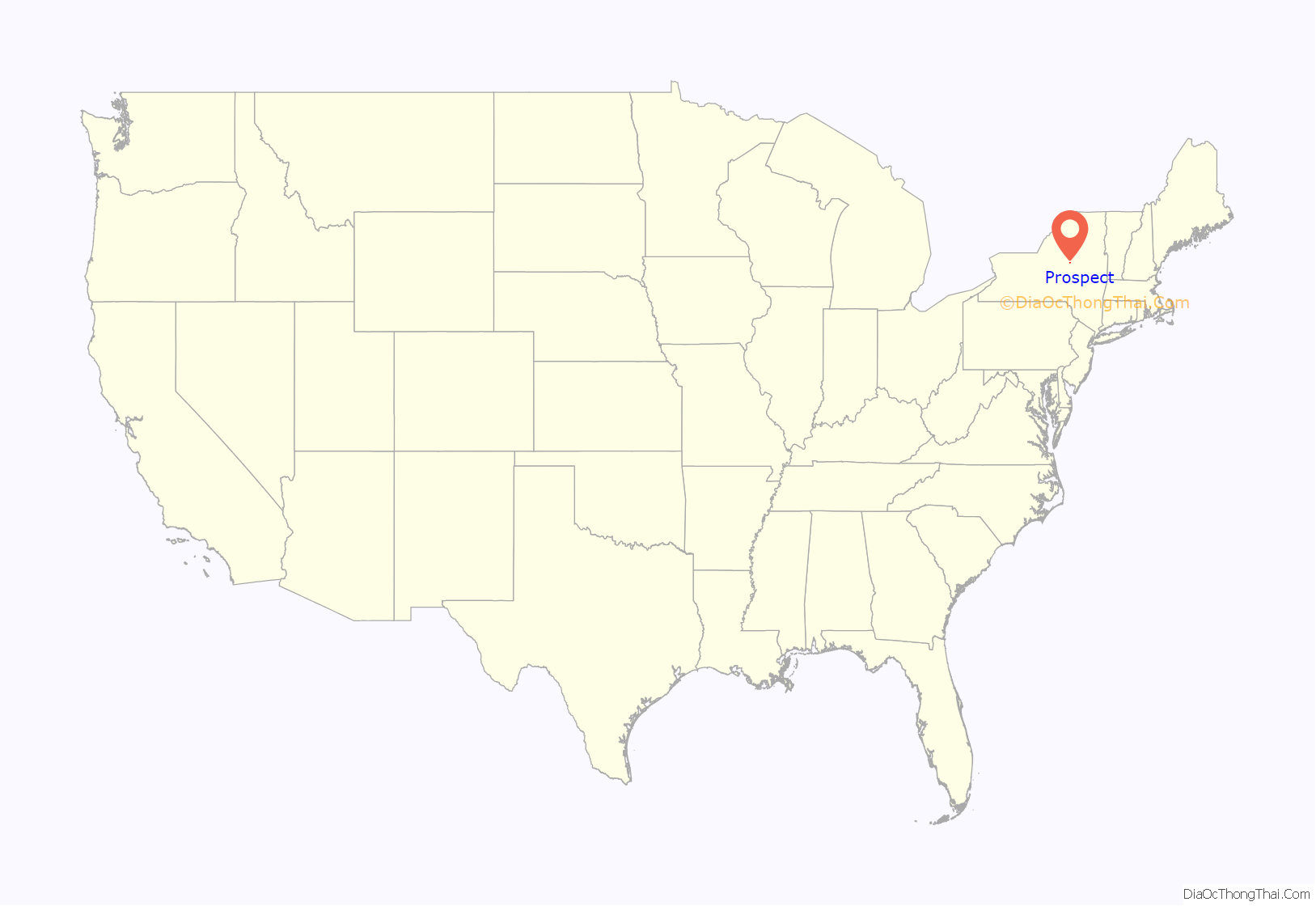
Prospect is a hamlet in the town of Trenton, in Oneida County, New York, United States. The population was 291 at the 2010 census. The hamlet is located at the junction of NY 365 and Reference Route 920V west of West Canada Creek. It was an incorporated village from 1890 to 2015.
| Name: | Prospect CDP |
|---|---|
| LSAD Code: | 57 |
| LSAD Description: | CDP (suffix) |
| State: | New York |
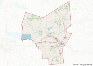
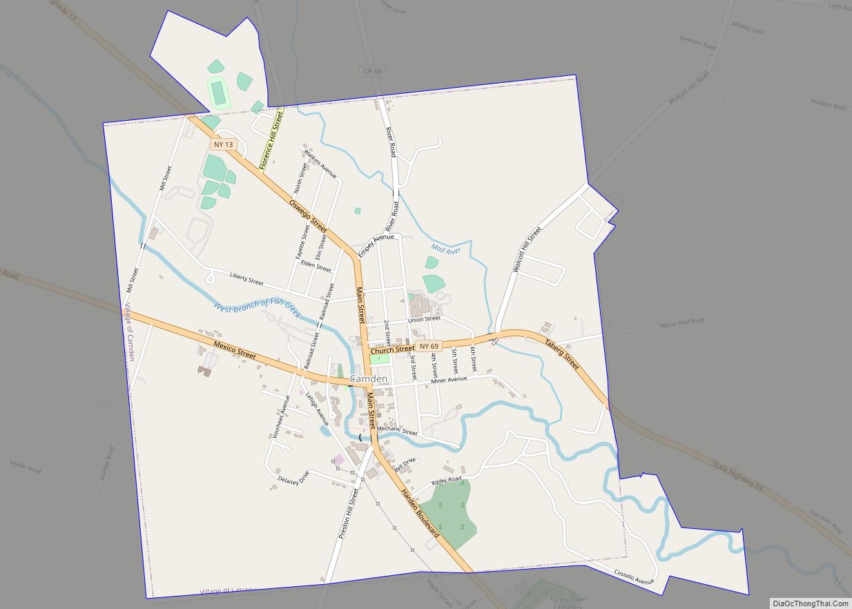
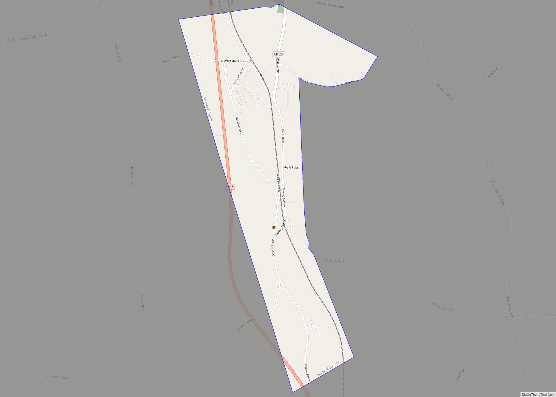
| County: | Oneida County |
| Incorporated: | 1890 |
| Elevation: | 1,184 ft (361 m) |
| Total Area: | 0.44 sq mi (1.15 km²) |
| Land Area: | 0.43 sq mi (1.11 km²) |
| Water Area: | 0.01 sq mi (0.03 km²) |
| Total Population: | 248 |
| Population Density: | 576.74/sq mi (222.54/km²) |
| ZIP code: | 13435 |
| Area code: | 315 |
| FIPS code: | 3659883 |
| GNISfeature ID: | 0961155 |
Online Interactive Map
Click on ![]() to view map in "full screen" mode.
to view map in "full screen" mode.
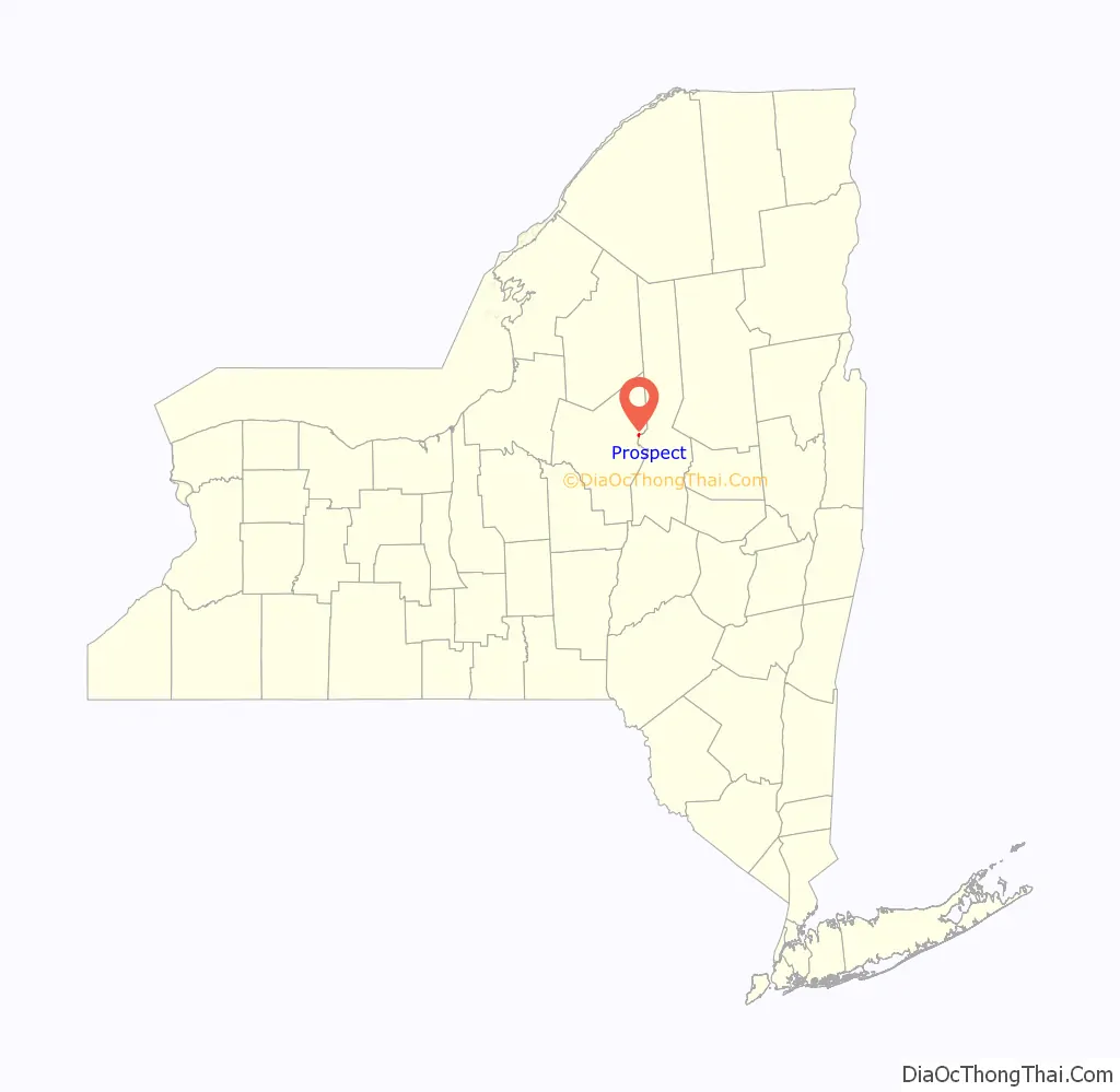
Prospect location map. Where is Prospect CDP?
History
The village was founded in 1803 and incorporated in 1890. Residents voted 91–7 to dissolve to village on July 21, 2015. This was primarily due to a lengthy dispute regarding worker’s compensation claims from two firefighters. The village officially dissolved on December 31, 2015. It should be classified as a census-designated place by the U.S. Census Bureau within the next couple years. All government activities previously managed by the village are now handled by the Town of Trenton.
The volunteer fire department disbanded in 2014, also due to the said dispute. The volunteer ambulance still remains in service.
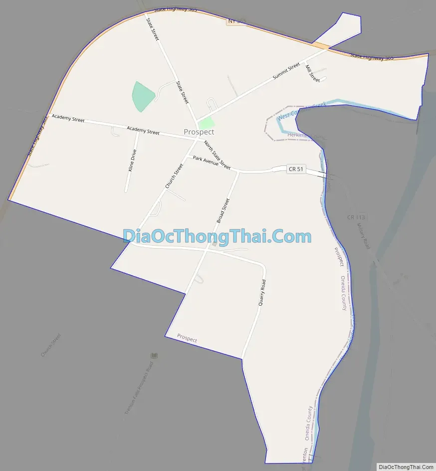
Prospect Road Map
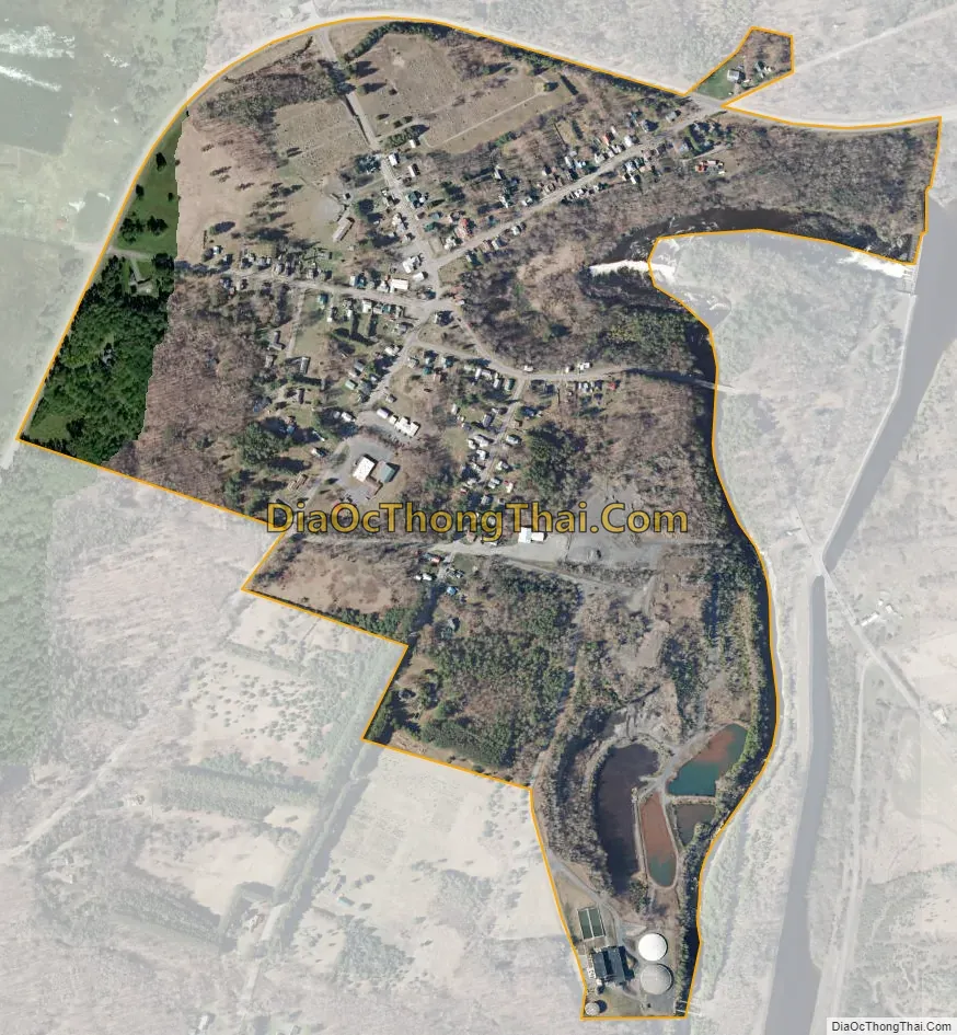
Prospect city Satellite Map
Geography
Prospect is located at 43°18′13″N 75°9′8″W / 43.30361°N 75.15222°W / 43.30361; -75.15222 (43.303671, -75.152190).
According to the United States Census Bureau, the hamlet has a total area of 0.2 square miles (0.52 km), all land.
See also
Map of New York State and its subdivision:- Albany
- Allegany
- Bronx
- Broome
- Cattaraugus
- Cayuga
- Chautauqua
- Chemung
- Chenango
- Clinton
- Columbia
- Cortland
- Delaware
- Dutchess
- Erie
- Essex
- Franklin
- Fulton
- Genesee
- Greene
- Hamilton
- Herkimer
- Jefferson
- Kings
- Lake Ontario
- Lewis
- Livingston
- Madison
- Monroe
- Montgomery
- Nassau
- New York
- Niagara
- Oneida
- Onondaga
- Ontario
- Orange
- Orleans
- Oswego
- Otsego
- Putnam
- Queens
- Rensselaer
- Richmond
- Rockland
- Saint Lawrence
- Saratoga
- Schenectady
- Schoharie
- Schuyler
- Seneca
- Steuben
- Suffolk
- Sullivan
- Tioga
- Tompkins
- Ulster
- Warren
- Washington
- Wayne
- Westchester
- Wyoming
- Yates
- Alabama
- Alaska
- Arizona
- Arkansas
- California
- Colorado
- Connecticut
- Delaware
- District of Columbia
- Florida
- Georgia
- Hawaii
- Idaho
- Illinois
- Indiana
- Iowa
- Kansas
- Kentucky
- Louisiana
- Maine
- Maryland
- Massachusetts
- Michigan
- Minnesota
- Mississippi
- Missouri
- Montana
- Nebraska
- Nevada
- New Hampshire
- New Jersey
- New Mexico
- New York
- North Carolina
- North Dakota
- Ohio
- Oklahoma
- Oregon
- Pennsylvania
- Rhode Island
- South Carolina
- South Dakota
- Tennessee
- Texas
- Utah
- Vermont
- Virginia
- Washington
- West Virginia
- Wisconsin
- Wyoming