Remsen is a village in Oneida County, New York, United States. The population was 508 at the 2010 census.
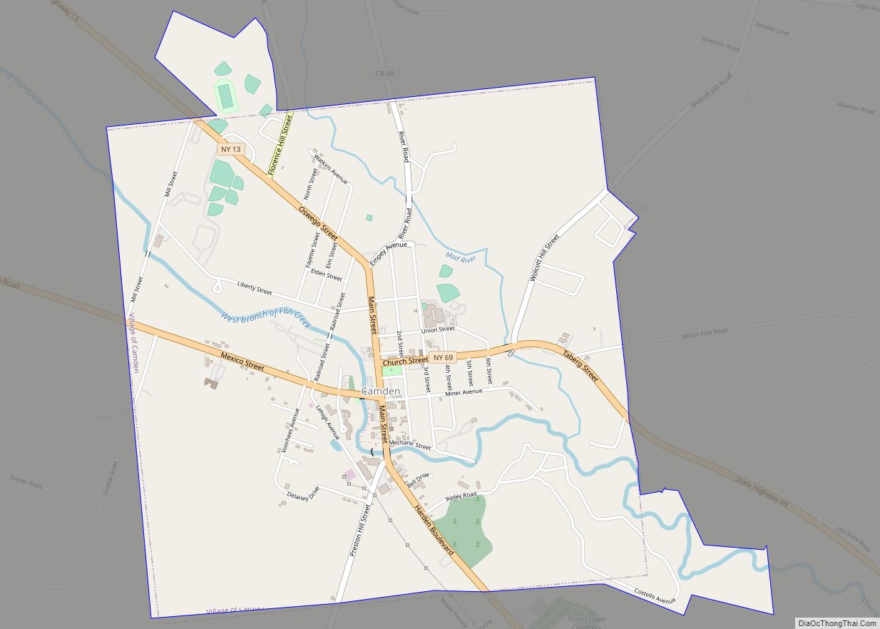
The Village of Remsen is in the southwestern part of the Town of Remsen.
The Remsen Barn Festival of the Arts (FOTA) is held in late September. The first Barn Festival was in 1980. Thousands of visitors attend this yearly event on Main street.
The Mohawk, Adirondack and Northern Railroad (MHWA) Railroad crosses the town. The Adirondack Scenic Railroad utilizes the MHWA’s trackage from Utica to just north of the village, diverting onto its own trackage (former NYC Adirondack Division)
| Name: | Remsen village |
|---|---|
| LSAD Code: | 47 |
| LSAD Description: | village (suffix) |
| State: | New York |
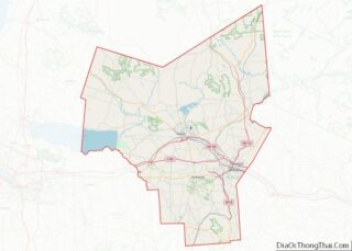
| County: | Oneida County |
| Elevation: | 1,184 ft (361 m) |
| Total Area: | 0.37 sq mi (0.96 km²) |
| Land Area: | 0.37 sq mi (0.96 km²) |
| Water Area: | 0.00 sq mi (0.00 km²) |
| Total Population: | 431 |
| Population Density: | 1,158.60/sq mi (446.96/km²) |
| ZIP code: | 13438 |
| Area code: | 315 |
| FIPS code: | 3661115 |
| GNISfeature ID: | 2391090 |
| Website: | www.villageofremsen.org |
Online Interactive Map
Click on ![]() to view map in "full screen" mode.
to view map in "full screen" mode.
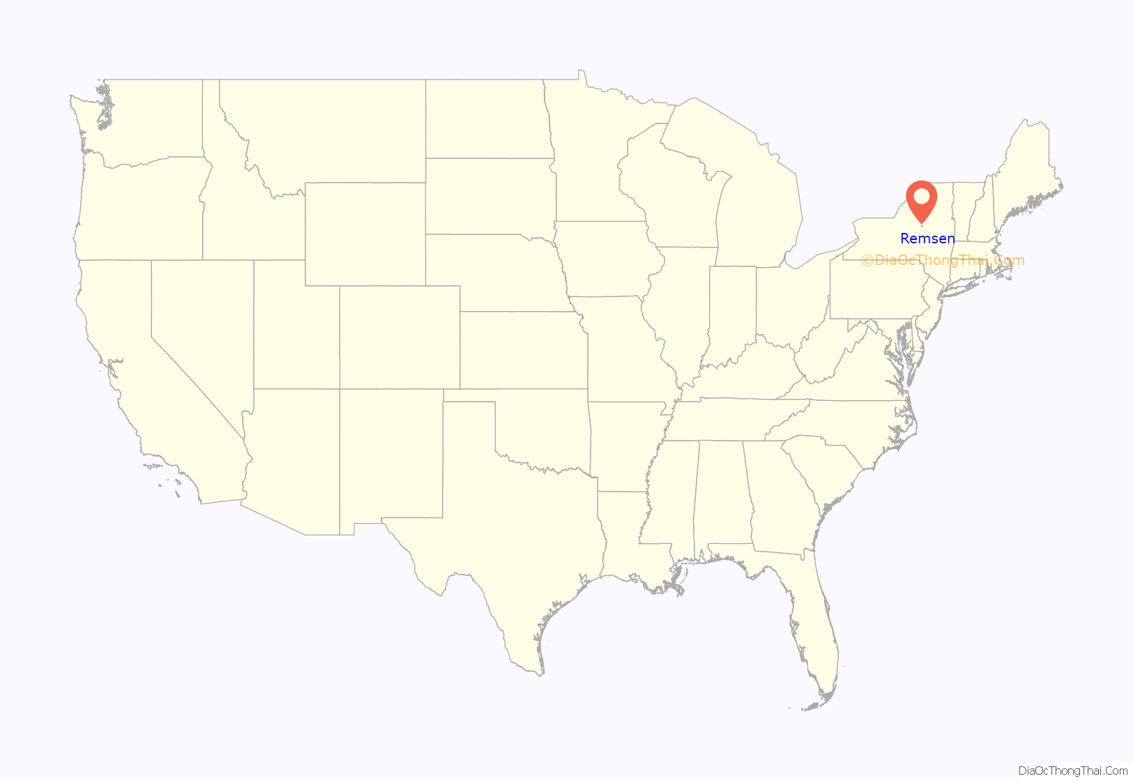
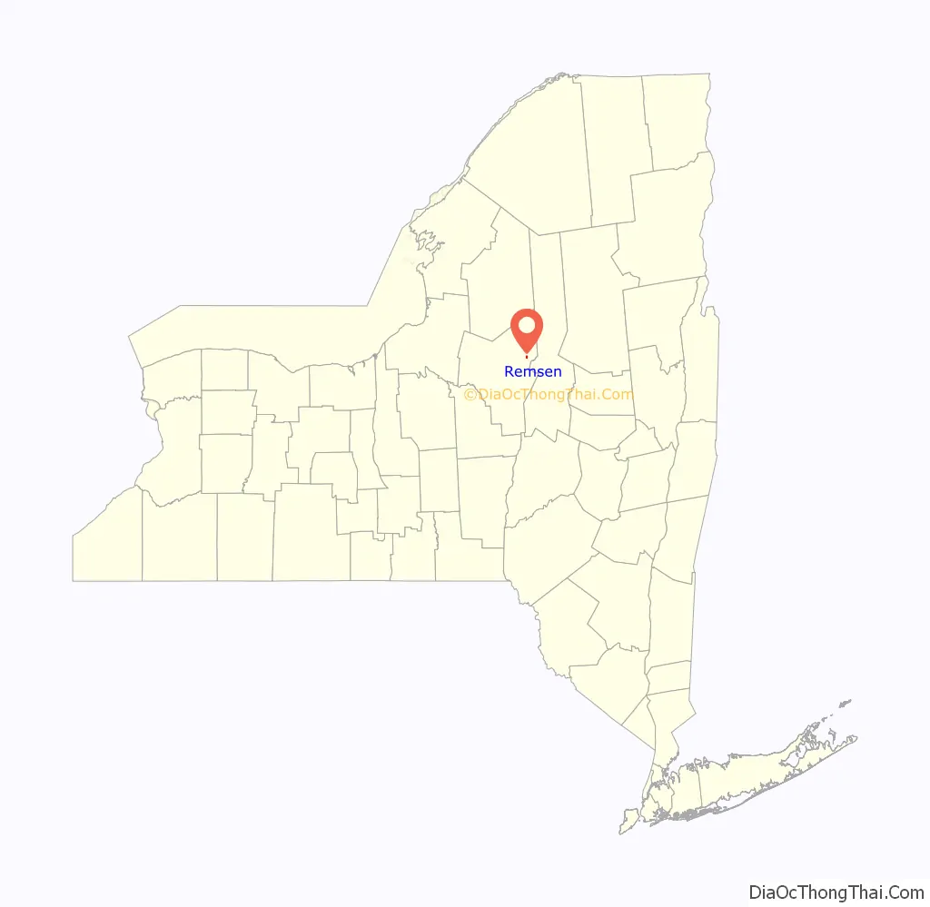
Remsen location map. Where is Remsen village?
History
Oneida County was formed and Remsen Township was organized on March 15, 1798. The Village of Remsen was incorporated in 1845. Remsen Township was divided and the Town of Forestport was formed on November 24, 1869.
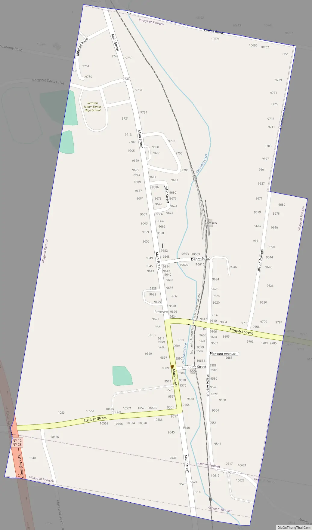
Remsen Road Map
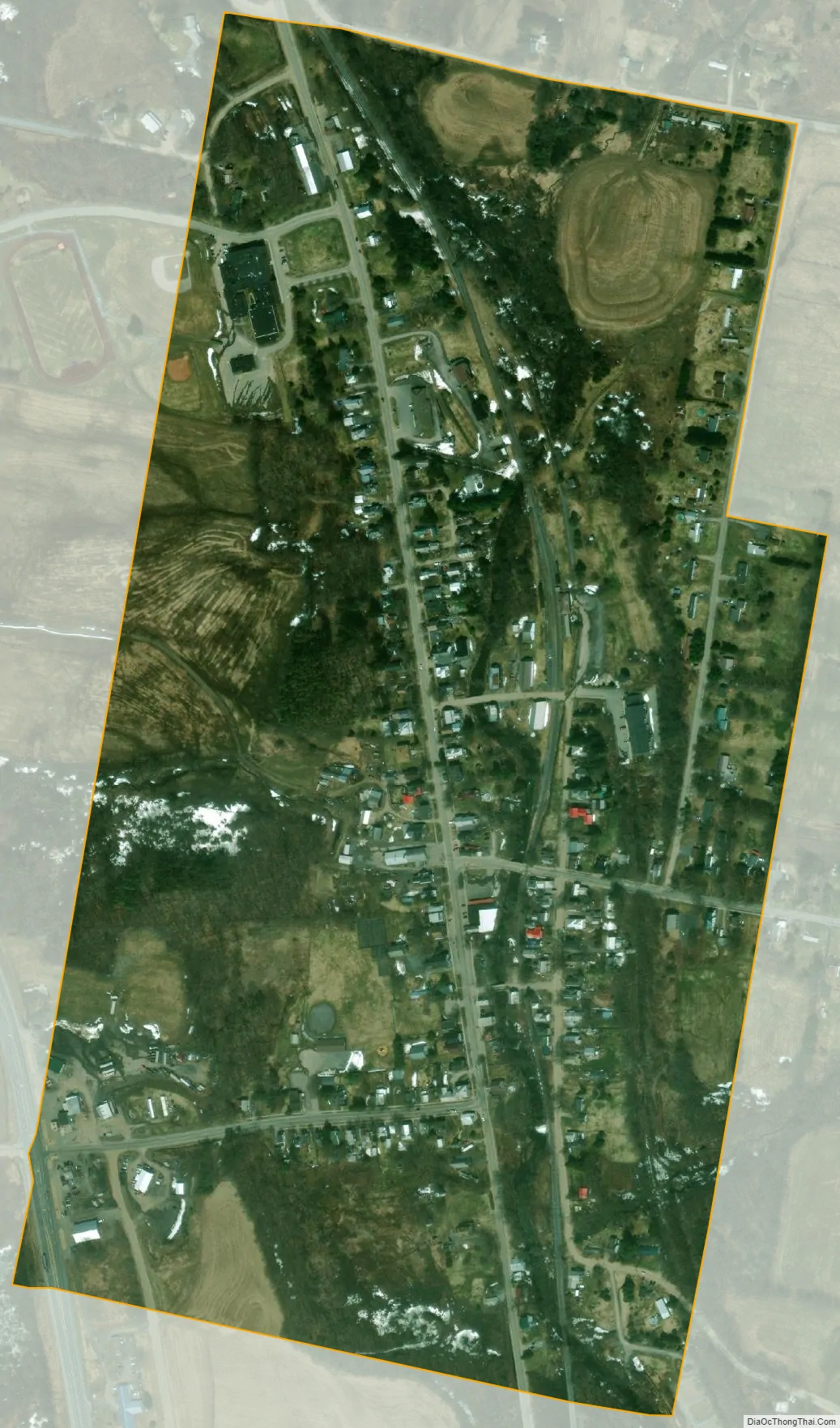
Remsen city Satellite Map
Geography
Remsen is located at 43°19′39″N 75°11′12″W / 43.32750°N 75.18667°W / 43.32750; -75.18667 (43.327589, -75.186734).
According to the United States Census Bureau, the village has a total area of 0.4 square mile (1.0 km), all land. Cincinnati Creek flows through the village from north to south.
See also
Map of New York State and its subdivision:- Albany
- Allegany
- Bronx
- Broome
- Cattaraugus
- Cayuga
- Chautauqua
- Chemung
- Chenango
- Clinton
- Columbia
- Cortland
- Delaware
- Dutchess
- Erie
- Essex
- Franklin
- Fulton
- Genesee
- Greene
- Hamilton
- Herkimer
- Jefferson
- Kings
- Lake Ontario
- Lewis
- Livingston
- Madison
- Monroe
- Montgomery
- Nassau
- New York
- Niagara
- Oneida
- Onondaga
- Ontario
- Orange
- Orleans
- Oswego
- Otsego
- Putnam
- Queens
- Rensselaer
- Richmond
- Rockland
- Saint Lawrence
- Saratoga
- Schenectady
- Schoharie
- Schuyler
- Seneca
- Steuben
- Suffolk
- Sullivan
- Tioga
- Tompkins
- Ulster
- Warren
- Washington
- Wayne
- Westchester
- Wyoming
- Yates
- Alabama
- Alaska
- Arizona
- Arkansas
- California
- Colorado
- Connecticut
- Delaware
- District of Columbia
- Florida
- Georgia
- Hawaii
- Idaho
- Illinois
- Indiana
- Iowa
- Kansas
- Kentucky
- Louisiana
- Maine
- Maryland
- Massachusetts
- Michigan
- Minnesota
- Mississippi
- Missouri
- Montana
- Nebraska
- Nevada
- New Hampshire
- New Jersey
- New Mexico
- New York
- North Carolina
- North Dakota
- Ohio
- Oklahoma
- Oregon
- Pennsylvania
- Rhode Island
- South Carolina
- South Dakota
- Tennessee
- Texas
- Utah
- Vermont
- Virginia
- Washington
- West Virginia
- Wisconsin
- Wyoming