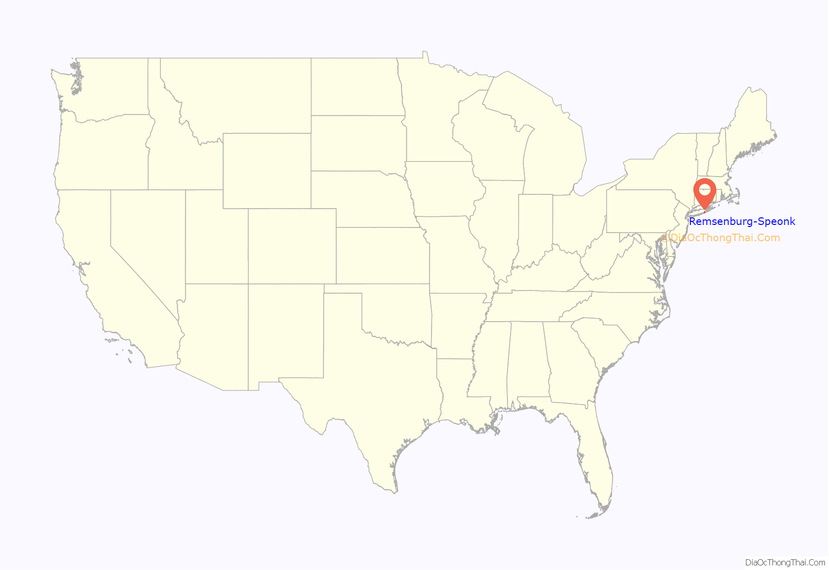
Remsenburg-Speonk is a census-designated place (CDP) located in the Town of Southampton, Suffolk County, New York, United States. It consists of the hamlets of Remsenburg and Speonk. The population was 2,642 at the 2010 census. The population of this CDP and surrounding ones increases in the summer due to summer renters who come out for the beaches and scenery.
| Name: | Remsenburg-Speonk CDP |
|---|---|
| LSAD Code: | 57 |
| LSAD Description: | CDP (suffix) |
| State: | New York |
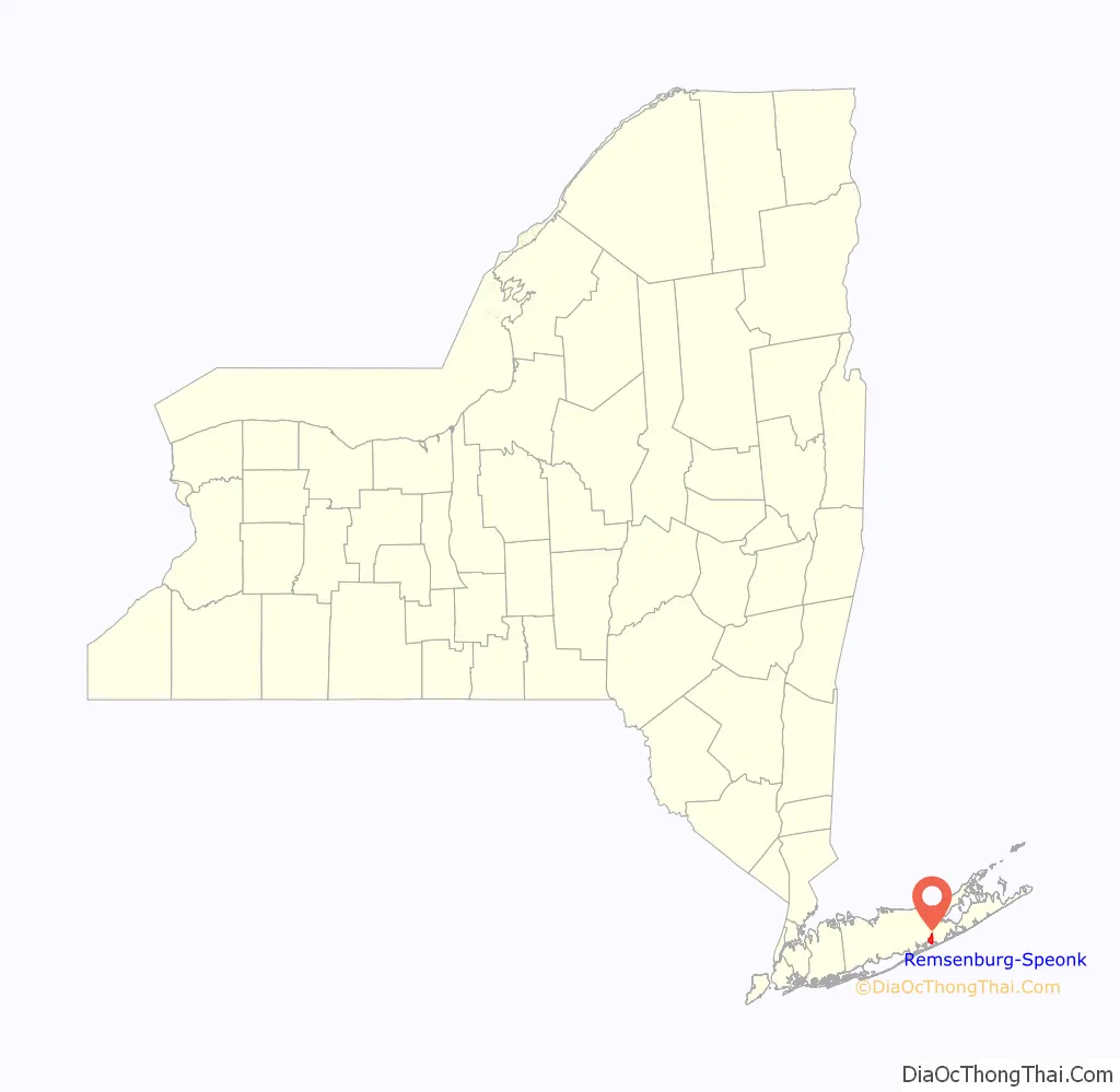
| County: | Suffolk County |
| Total Area: | 4.05 sq mi (10.49 km²) |
| Land Area: | 3.60 sq mi (9.32 km²) |
| Water Area: | 0.45 sq mi (1.17 km²) |
| Total Population: | 3,110 |
| Population Density: | 864.13/sq mi (333.65/km²) |
| FIPS code: | 3661142 |
Online Interactive Map
Click on ![]() to view map in "full screen" mode.
to view map in "full screen" mode.
Remsenburg-Speonk location map. Where is Remsenburg-Speonk CDP?
History
As early as 1712, meadows in Speonk were leased to cattle owners from Southampton. Most of the early residents came west from Southampton and Bridgehampton in the 1740s, building farms and clearing the forests of wood. In the 1880s, duck farms thrived in Speonk, but few survived past the turn of the century. The name Speonk was inspired by a Native American word meaning “high place”. An 1897 Long Island Rail Road catalog listed Speonk, noting that that name “certainly sounds like the call of a frog”. Some residents pressed to change the name to “Remsenburg”, after prominent resident Charles Remsen donated a new Presbyterian church. Today, both names remain in use, each covering different areas of the community.
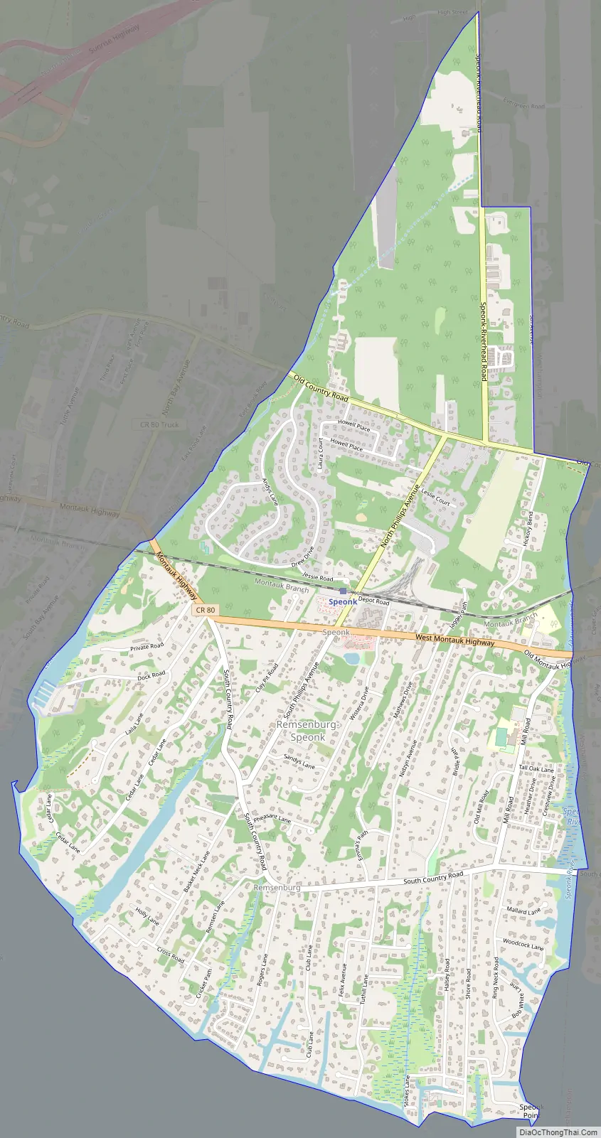
Remsenburg-Speonk Road Map
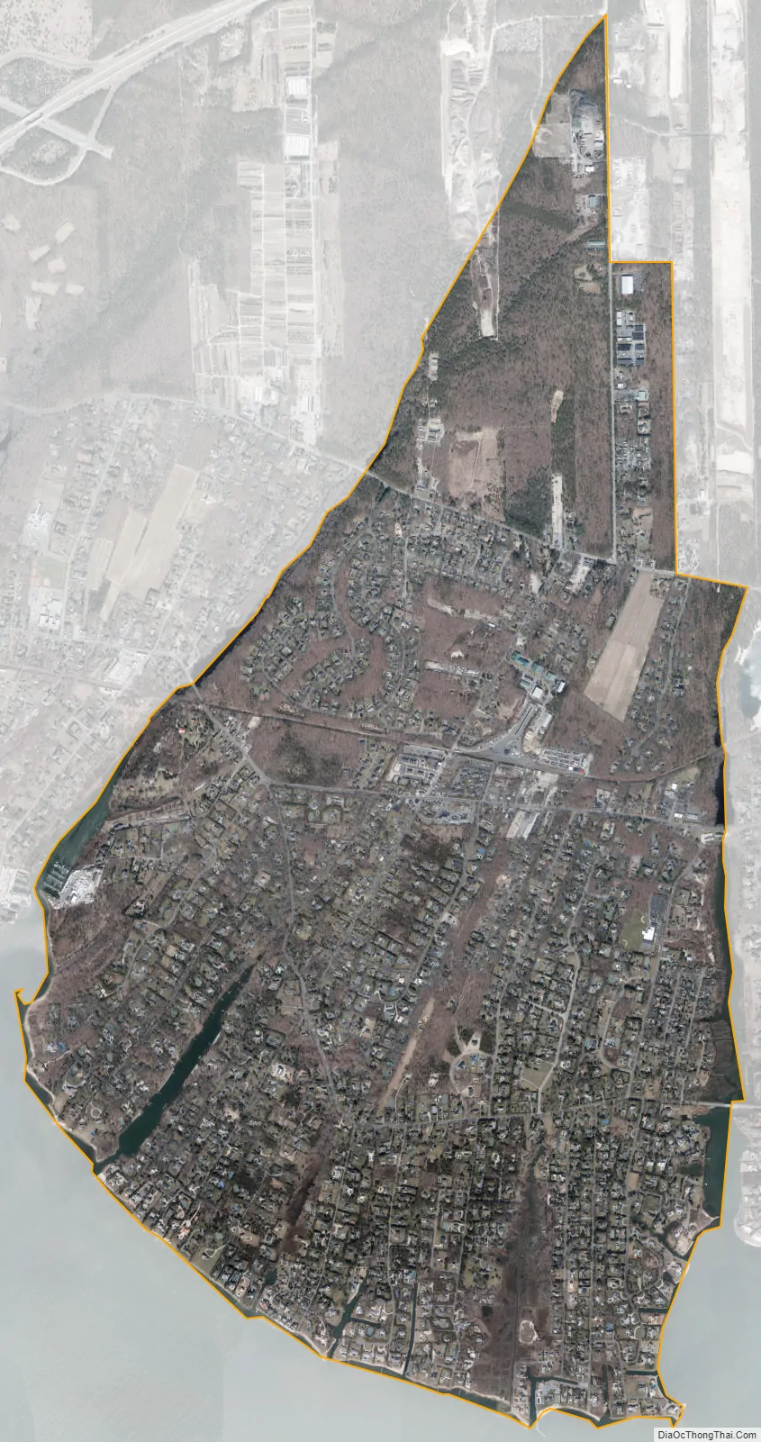
Remsenburg-Speonk city Satellite Map
Geography
Remsenburg-Speonk is located at 40° 49′ 13″ North, 72° 42′ 4″ West (40.820400, -72.701133). According to the United States Census Bureau, the CDP has a total area of 3.7 square miles (9.5 km), of which 3.6 square miles (9.3 km) is land and 0.077 square miles (0.2 km), or 2.20%, is water.
See also
Map of New York State and its subdivision:- Albany
- Allegany
- Bronx
- Broome
- Cattaraugus
- Cayuga
- Chautauqua
- Chemung
- Chenango
- Clinton
- Columbia
- Cortland
- Delaware
- Dutchess
- Erie
- Essex
- Franklin
- Fulton
- Genesee
- Greene
- Hamilton
- Herkimer
- Jefferson
- Kings
- Lake Ontario
- Lewis
- Livingston
- Madison
- Monroe
- Montgomery
- Nassau
- New York
- Niagara
- Oneida
- Onondaga
- Ontario
- Orange
- Orleans
- Oswego
- Otsego
- Putnam
- Queens
- Rensselaer
- Richmond
- Rockland
- Saint Lawrence
- Saratoga
- Schenectady
- Schoharie
- Schuyler
- Seneca
- Steuben
- Suffolk
- Sullivan
- Tioga
- Tompkins
- Ulster
- Warren
- Washington
- Wayne
- Westchester
- Wyoming
- Yates
- Alabama
- Alaska
- Arizona
- Arkansas
- California
- Colorado
- Connecticut
- Delaware
- District of Columbia
- Florida
- Georgia
- Hawaii
- Idaho
- Illinois
- Indiana
- Iowa
- Kansas
- Kentucky
- Louisiana
- Maine
- Maryland
- Massachusetts
- Michigan
- Minnesota
- Mississippi
- Missouri
- Montana
- Nebraska
- Nevada
- New Hampshire
- New Jersey
- New Mexico
- New York
- North Carolina
- North Dakota
- Ohio
- Oklahoma
- Oregon
- Pennsylvania
- Rhode Island
- South Carolina
- South Dakota
- Tennessee
- Texas
- Utah
- Vermont
- Virginia
- Washington
- West Virginia
- Wisconsin
- Wyoming


