Retsof is a hamlet and census-designated place (CDP) within the town of York in Livingston County, New York, United States. The community, situated 30 miles (48 km) southwest of the city of Rochester, is off New York State Route 63 approximately one mile east of State Route 36. As of the 2010 census, it had a population of 340.
It was founded by a man named William Foster, Jr., who reversed the letters of his name to name the town, and it was the site of one of the world’s largest salt mines until its collapse in 1994. A new mine, the Hampton Corners mine, is located near Mount Morris, about 10 miles (16 km) to the southeast.
The original population of Retsof was mostly of Italian origin; they lived in a company town where the salt mine owned the houses and a store and maintained the small village. The Italian families lived together with a few non-Italians. The others who were mostly bosses lived on the “Avenue” in nicer houses with indoor plumbing.
In addition to the salt mine, there was a small railroad—the Genesee and Wyoming Railroad (G&W)—that took the salt to the “Main Lines” in neighboring towns. The G&W remains active today as a branch line of the Rochester and Southern Railroad.
| Name: | Retsof CDP |
|---|---|
| LSAD Code: | 57 |
| LSAD Description: | CDP (suffix) |
| State: | New York |
| County: | Livingston County |
| Elevation: | 726 ft (221 m) |
| Total Area: | 0.45 sq mi (1.17 km²) |
| Land Area: | 0.45 sq mi (1.17 km²) |
| Water Area: | 0.00 sq mi (0.00 km²) |
| Total Population: | 326 |
| Population Density: | 722.84/sq mi (279.35/km²) |
| ZIP code: | 14539 |
| Area code: | 585 |
| FIPS code: | 3661236 |
| GNISfeature ID: | 962414 |
Online Interactive Map
Click on ![]() to view map in "full screen" mode.
to view map in "full screen" mode.
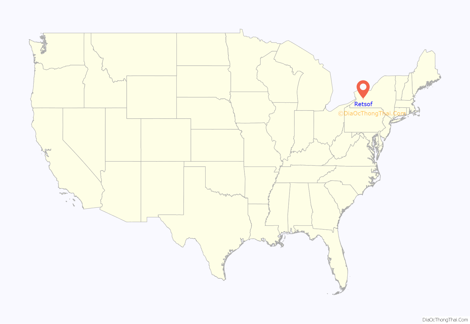
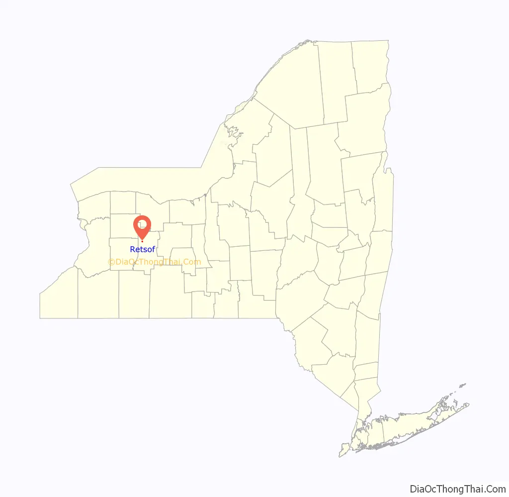
Retsof location map. Where is Retsof CDP?
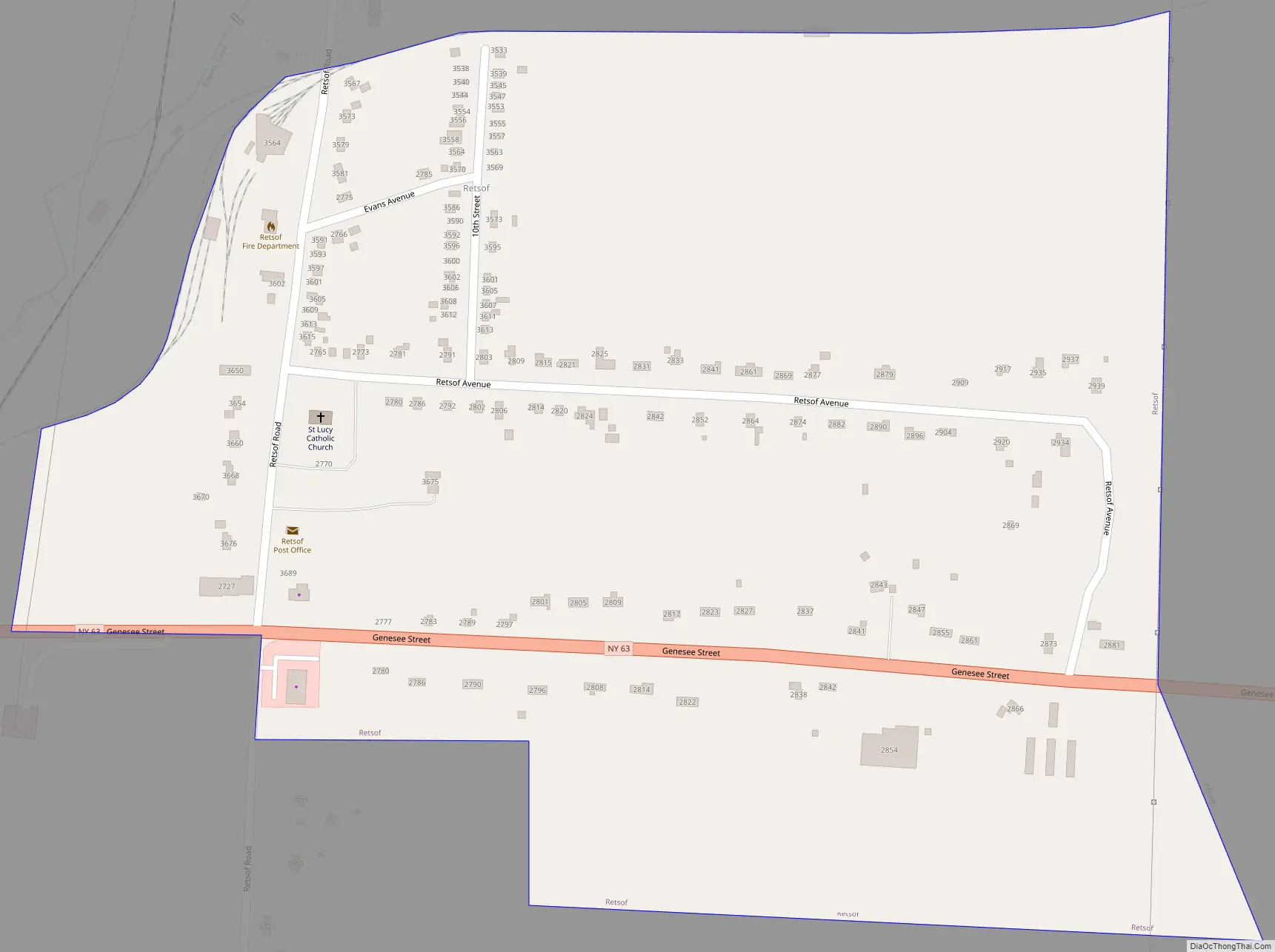
Retsof Road Map
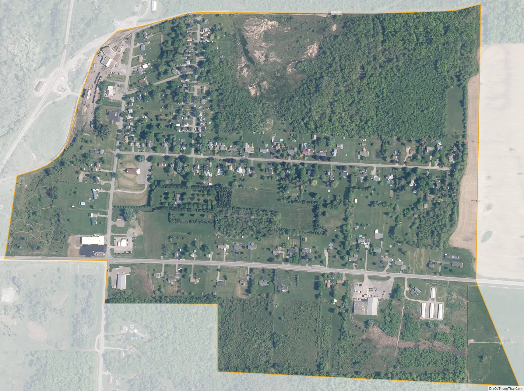
Retsof city Satellite Map
Geography
Retsof is in northwestern Livingston County, in the southeastern part of the town of York. It is bordered to the east by the hamlet of Piffard and to the west by Greigsville. NY 63 leads southeast from Retsof 4 miles (6 km) to Geneseo, the Livingston county seat, and northwest 20 miles (32 km) to Batavia. The hamlet of York is 3 miles (5 km) north of Retsof.
According to the U.S. Census Bureau, the Retsof CDP has an area of 0.5 square miles (1.2 km), all land. The community is drained by Salt Creek, a northward-flowing tributary of Bidwells Creek, which flows northeast to the Genesee River.
See also
Map of New York State and its subdivision:- Albany
- Allegany
- Bronx
- Broome
- Cattaraugus
- Cayuga
- Chautauqua
- Chemung
- Chenango
- Clinton
- Columbia
- Cortland
- Delaware
- Dutchess
- Erie
- Essex
- Franklin
- Fulton
- Genesee
- Greene
- Hamilton
- Herkimer
- Jefferson
- Kings
- Lake Ontario
- Lewis
- Livingston
- Madison
- Monroe
- Montgomery
- Nassau
- New York
- Niagara
- Oneida
- Onondaga
- Ontario
- Orange
- Orleans
- Oswego
- Otsego
- Putnam
- Queens
- Rensselaer
- Richmond
- Rockland
- Saint Lawrence
- Saratoga
- Schenectady
- Schoharie
- Schuyler
- Seneca
- Steuben
- Suffolk
- Sullivan
- Tioga
- Tompkins
- Ulster
- Warren
- Washington
- Wayne
- Westchester
- Wyoming
- Yates
- Alabama
- Alaska
- Arizona
- Arkansas
- California
- Colorado
- Connecticut
- Delaware
- District of Columbia
- Florida
- Georgia
- Hawaii
- Idaho
- Illinois
- Indiana
- Iowa
- Kansas
- Kentucky
- Louisiana
- Maine
- Maryland
- Massachusetts
- Michigan
- Minnesota
- Mississippi
- Missouri
- Montana
- Nebraska
- Nevada
- New Hampshire
- New Jersey
- New Mexico
- New York
- North Carolina
- North Dakota
- Ohio
- Oklahoma
- Oregon
- Pennsylvania
- Rhode Island
- South Carolina
- South Dakota
- Tennessee
- Texas
- Utah
- Vermont
- Virginia
- Washington
- West Virginia
- Wisconsin
- Wyoming


