Ridge is a hamlet and census-designated place (CDP) in the town of Brookhaven, Suffolk County, New York, United States. The population was 13,336 at the 2010 census.
| Name: | Ridge CDP |
|---|---|
| LSAD Code: | 57 |
| LSAD Description: | CDP (suffix) |
| State: | New York |
| County: | Suffolk County |
| Elevation: | 92 ft (28 m) |
| Total Area: | 13.29 sq mi (34.41 km²) |
| Land Area: | 13.19 sq mi (34.17 km²) |
| Water Area: | 0.09 sq mi (0.24 km²) |
| Total Population: | 13,271 |
| Population Density: | 1,005.99/sq mi (388.40/km²) |
| ZIP code: | 11961 |
| Area code: | 631, 934 |
| FIPS code: | 3661665 |
| GNISfeature ID: | 0962492 |
Online Interactive Map
Click on ![]() to view map in "full screen" mode.
to view map in "full screen" mode.
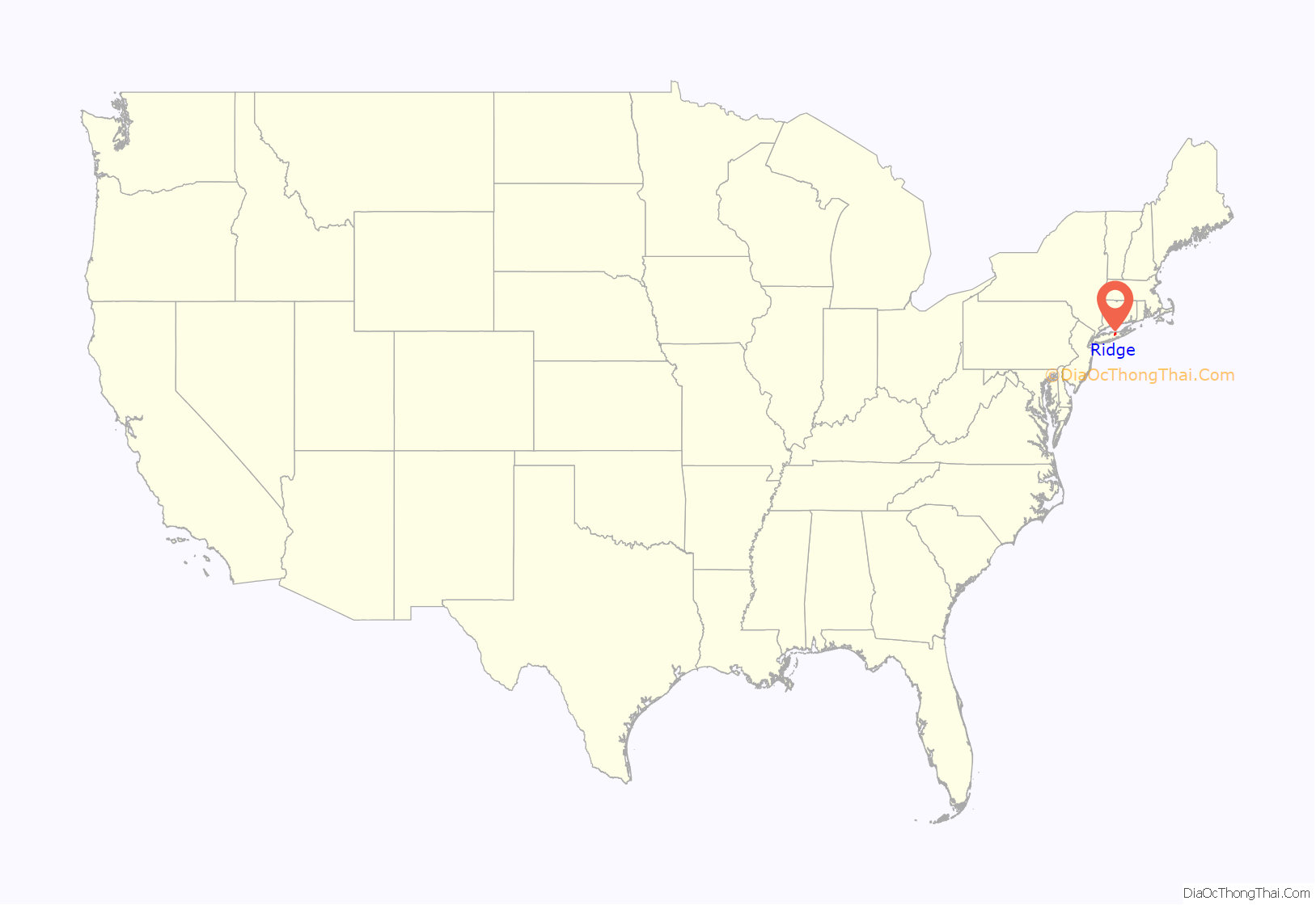
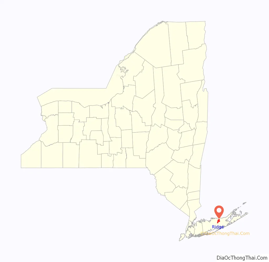
Ridge location map. Where is Ridge CDP?
History
The Longwood Estate
In 1693, William “Tangier” Smith, who owned a homestead in Setauket, was allowed to purchase a large tract of land on the South Shore of Long Island in recognition of his being mayor of Tangier in Africa. The land, called Manor St. George, stretched from the Carmans River (then called the Connecticut River) in the west to the edge of the town of Southampton in the east, with a northern border around present-day New York State Route 25, as much as 81,000 acres (330 km) of land. He made his manor seat on the South Shore in present-day Mastic, and the northern part, now the south side of Ridge, was called “The Swamp” or “Longswamp”. A house wasn’t built at Longswamp until after the American Revolution. In 1817, William Sydney Smith inhabited the house and changed the name to Longwood.
In 1955, what then remained of William Smith’s original manor was primarily located in Ridge and was surrounded by the world growing up around it, in the form of the Brookhaven National Laboratory and the surrounding areas becoming increasingly populated. Longwood’s 750 acres (300 ha) fell into the hands of Elbert Clayton Smith, who immediately moved his family from California to live there. He seems to have been very generous to his new community; his donations included 51 acres (21 ha) to the school board for the construction of Longwood High School and 6 acres (2.4 ha) to Middle Island Presbyterian Church. In 1967, Elbert Smith died, and the Longwood Estate was carved into housing developments and nearly destroyed until enough noise was made about preservation to have the house and 35 acres (14 ha) of land given to the Town of Brookhaven in 1974. The Smith Estate was added to the National Register of Historic Places in 1981.
Randallville
In 1738, northern Ridge was settled by widower Samuel Randall of North Stonington, Connecticut; his only son Stephen Randall and his descendants farmed a 4,000-acre (1,600 ha) plot of ground that Samuel had always referred to as “the Ridge” based on the geographical terrain. First called “Randallville”, Ridge was the name selected by its residents for postal delivery. The Randall burial plot near the William Floyd Parkway includes the grave of Lt. Stephen Randall (1736–1818), patriot of the American Revolution and a Suffolk County Militia veteran of the Battle of Long Island. Graves of Randall’s wife Elizabeth Swezey (1747–1834) and several descendants are also within the plot.
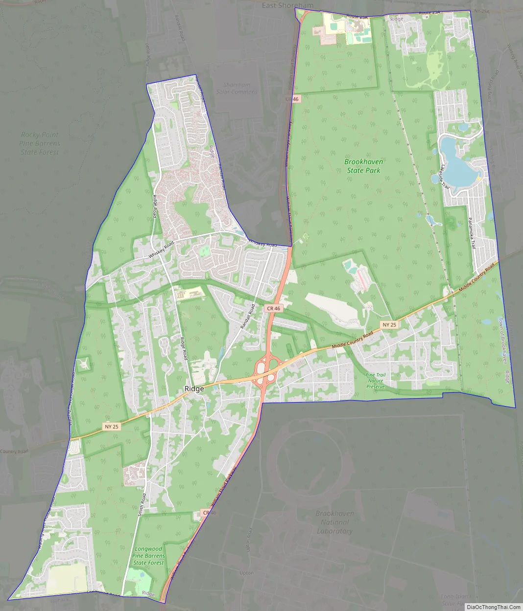
Ridge Road Map
Ridge city Satellite Map
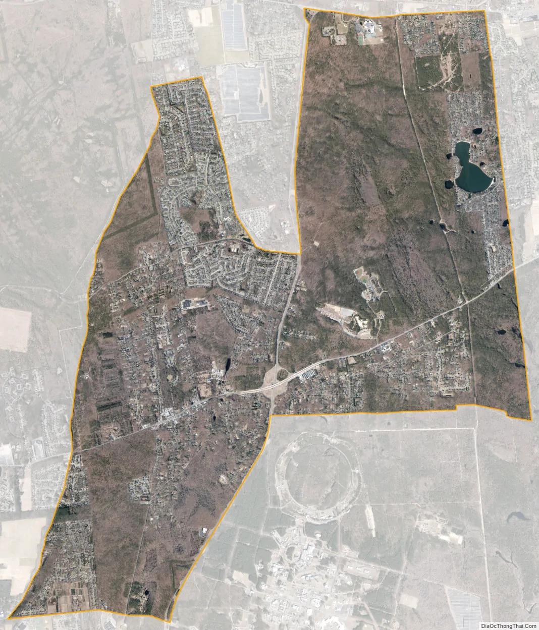
Geography
Ridge is located at the northwestern end of the Long Island Central Pine Barrens and is referred to by a sign in the center of the hamlet as the “Gateway to the Pine Barrens”.
According to the United States Census Bureau, the CDP has a total area of 13.3 square miles (34.5 km), of which 13.2 square miles (34.2 km) is land and 0.077 square miles (0.2 km), or 0.70%, is water.
See also
Map of New York State and its subdivision:- Albany
- Allegany
- Bronx
- Broome
- Cattaraugus
- Cayuga
- Chautauqua
- Chemung
- Chenango
- Clinton
- Columbia
- Cortland
- Delaware
- Dutchess
- Erie
- Essex
- Franklin
- Fulton
- Genesee
- Greene
- Hamilton
- Herkimer
- Jefferson
- Kings
- Lake Ontario
- Lewis
- Livingston
- Madison
- Monroe
- Montgomery
- Nassau
- New York
- Niagara
- Oneida
- Onondaga
- Ontario
- Orange
- Orleans
- Oswego
- Otsego
- Putnam
- Queens
- Rensselaer
- Richmond
- Rockland
- Saint Lawrence
- Saratoga
- Schenectady
- Schoharie
- Schuyler
- Seneca
- Steuben
- Suffolk
- Sullivan
- Tioga
- Tompkins
- Ulster
- Warren
- Washington
- Wayne
- Westchester
- Wyoming
- Yates
- Alabama
- Alaska
- Arizona
- Arkansas
- California
- Colorado
- Connecticut
- Delaware
- District of Columbia
- Florida
- Georgia
- Hawaii
- Idaho
- Illinois
- Indiana
- Iowa
- Kansas
- Kentucky
- Louisiana
- Maine
- Maryland
- Massachusetts
- Michigan
- Minnesota
- Mississippi
- Missouri
- Montana
- Nebraska
- Nevada
- New Hampshire
- New Jersey
- New Mexico
- New York
- North Carolina
- North Dakota
- Ohio
- Oklahoma
- Oregon
- Pennsylvania
- Rhode Island
- South Carolina
- South Dakota
- Tennessee
- Texas
- Utah
- Vermont
- Virginia
- Washington
- West Virginia
- Wisconsin
- Wyoming


