Riverhead is a census-designated place (CDP) roughly corresponding to the hamlet by the same name located in the Town of Riverhead in Suffolk County, on Long Island, in New York, United States. The CDP’s population was 13,299 at the 2010 census.
Situated at the mouth of the Peconic River, which empties into Peconic Bay where the North and South Forks of Long Island split, the town of Riverhead (of which the CDP is a part) is the official county seat of Suffolk County. In the 1960s, most of the county offices moved to the CDP of Hauppauge in the towns of Islip and Smithtown in the more populous western half of the county—a move which still spurs attempts for the town of Riverhead to lead the way for the secession of eastern Long Island towns to form Peconic County.
| Name: | Riverhead CDP |
|---|---|
| LSAD Code: | 57 |
| LSAD Description: | CDP (suffix) |
| State: | New York |
| County: | Suffolk County |
| Elevation: | 13 ft (4 m) |
| Total Area: | 16.83 sq mi (43.58 km²) |
| Land Area: | 15.09 sq mi (39.09 km²) |
| Water Area: | 1.73 sq mi (4.49 km²) |
| Total Population: | 14,993 |
| Population Density: | 993.37/sq mi (383.54/km²) |
| ZIP code: | 11901 |
| Area code: | 631, 934 |
| FIPS code: | 3661973 |
| GNISfeature ID: | 0962565 |
Online Interactive Map
Click on ![]() to view map in "full screen" mode.
to view map in "full screen" mode.
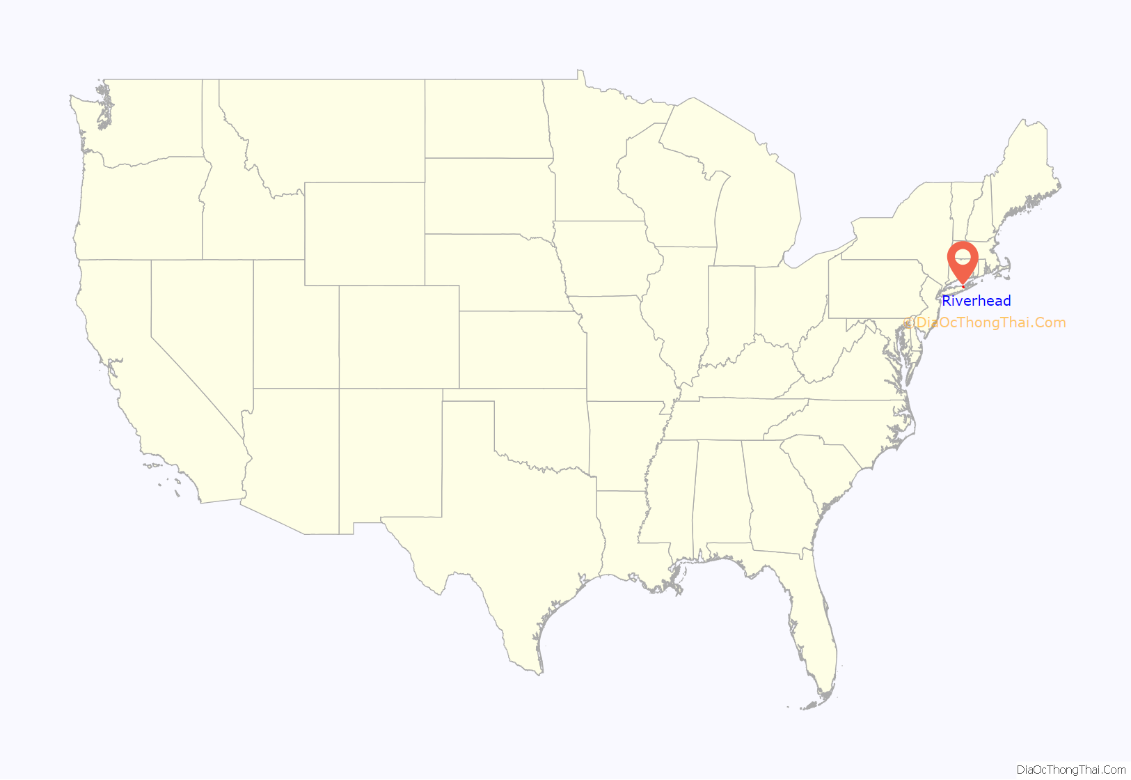
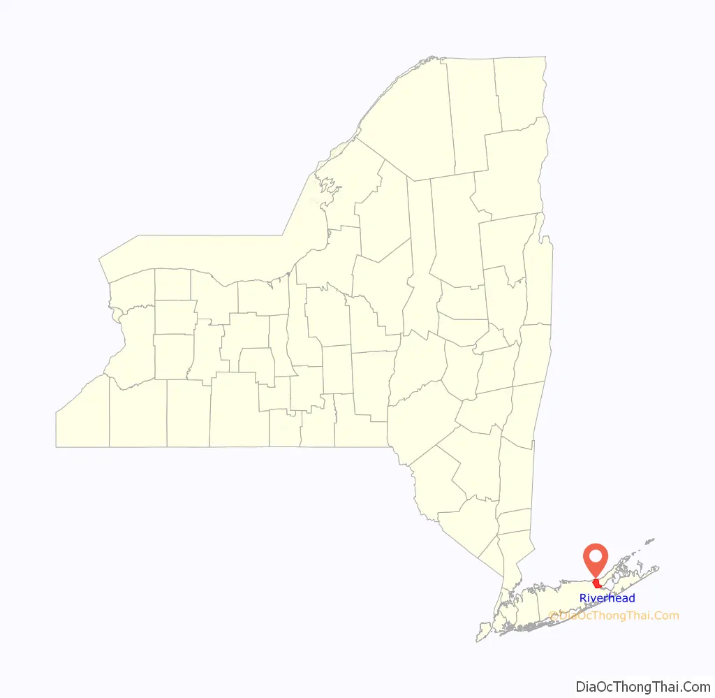
Riverhead location map. Where is Riverhead CDP?
History
The hamlet began with the Suffolk County Court House, a 1727 structure built to serve both the North and South Forks. Since that year, Riverhead has served as the seat of Suffolk County, and still contains the primary courts of the region.
Riverhead’s downtown area formed as an active commercial hub during the 19th century. In the beginning of the 20th century, the community saw an influx of Polish immigrants, as did the rest of the town. This led to the creation of Polish Town, where the popular Polish Town Fair is held annually. The downtown experienced urban blight during the mid-20th century, but recovered as of the beginning of the 21st century.
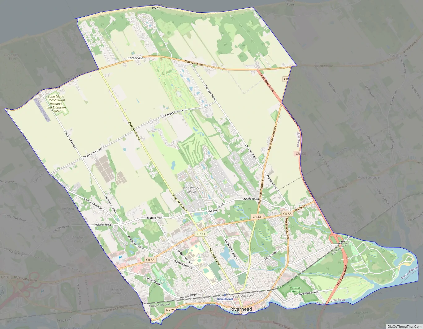
Riverhead Road Map
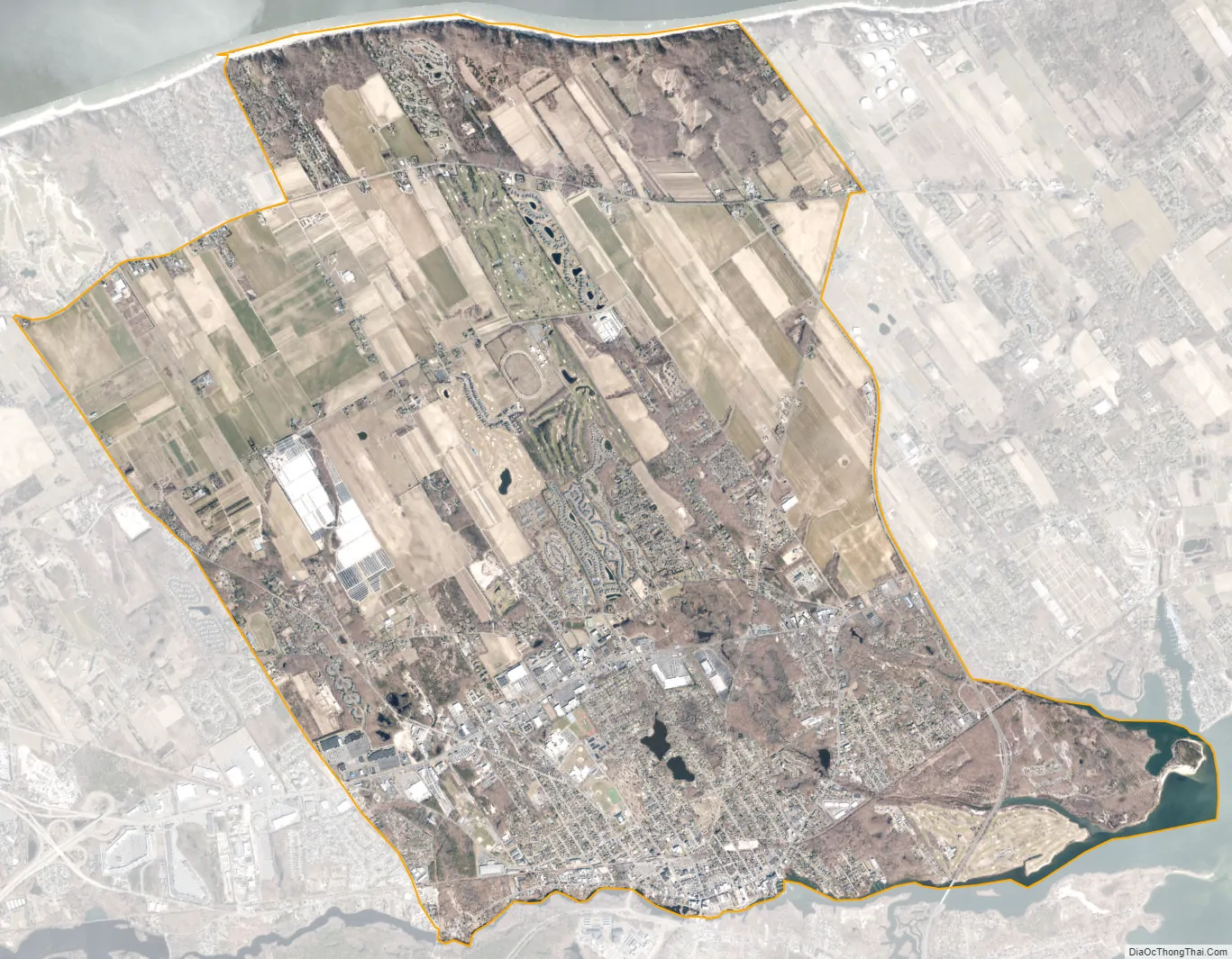
Riverhead city Satellite Map
Geography
According to the United States Census Bureau, the CDP has a total area of 15.4 square miles (40 km), of which 15.1 square miles (39 km) is land and 0.4 square miles (1.0 km), or 2.33%, is water.
The hamlet contains the principal downtown area in the Town of Riverhead and one of the largest in Suffolk County. Outside of this downtown area are rural sections which contain both active farms and residential developments.
See also
Map of New York State and its subdivision:- Albany
- Allegany
- Bronx
- Broome
- Cattaraugus
- Cayuga
- Chautauqua
- Chemung
- Chenango
- Clinton
- Columbia
- Cortland
- Delaware
- Dutchess
- Erie
- Essex
- Franklin
- Fulton
- Genesee
- Greene
- Hamilton
- Herkimer
- Jefferson
- Kings
- Lake Ontario
- Lewis
- Livingston
- Madison
- Monroe
- Montgomery
- Nassau
- New York
- Niagara
- Oneida
- Onondaga
- Ontario
- Orange
- Orleans
- Oswego
- Otsego
- Putnam
- Queens
- Rensselaer
- Richmond
- Rockland
- Saint Lawrence
- Saratoga
- Schenectady
- Schoharie
- Schuyler
- Seneca
- Steuben
- Suffolk
- Sullivan
- Tioga
- Tompkins
- Ulster
- Warren
- Washington
- Wayne
- Westchester
- Wyoming
- Yates
- Alabama
- Alaska
- Arizona
- Arkansas
- California
- Colorado
- Connecticut
- Delaware
- District of Columbia
- Florida
- Georgia
- Hawaii
- Idaho
- Illinois
- Indiana
- Iowa
- Kansas
- Kentucky
- Louisiana
- Maine
- Maryland
- Massachusetts
- Michigan
- Minnesota
- Mississippi
- Missouri
- Montana
- Nebraska
- Nevada
- New Hampshire
- New Jersey
- New Mexico
- New York
- North Carolina
- North Dakota
- Ohio
- Oklahoma
- Oregon
- Pennsylvania
- Rhode Island
- South Carolina
- South Dakota
- Tennessee
- Texas
- Utah
- Vermont
- Virginia
- Washington
- West Virginia
- Wisconsin
- Wyoming


