Rocky Point is a hamlet and census-designated place (CDP) in the town of Brookhaven, New York, United States. As of the 2010 United States census, the CDP population was 14,014.
| Name: | Rocky Point CDP |
|---|---|
| LSAD Code: | 57 |
| LSAD Description: | CDP (suffix) |
| State: | New York |
| County: | Suffolk County |
| Elevation: | 194 ft (59 m) |
| Total Area: | 12.65 sq mi (32.77 km²) |
| Land Area: | 11.32 sq mi (29.32 km²) |
| Water Area: | 1.33 sq mi (3.45 km²) |
| Total Population: | 13,633 |
| Population Density: | 1,204.33/sq mi (465.00/km²) |
| ZIP code: | 11778 |
| Area code: | 631, 934 |
| FIPS code: | 3663319 |
| GNISfeature ID: | 0962792 |
Online Interactive Map
Click on ![]() to view map in "full screen" mode.
to view map in "full screen" mode.
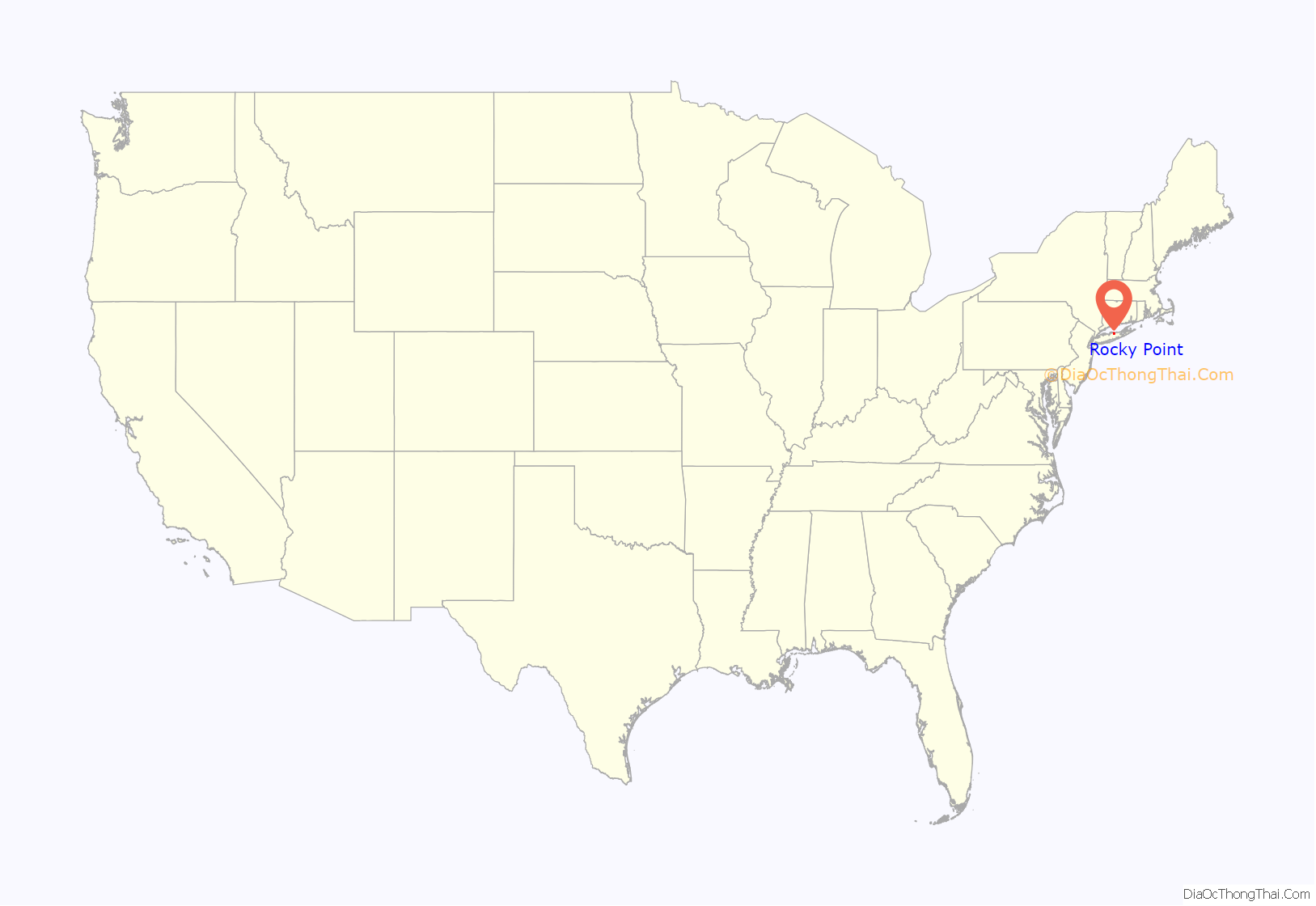
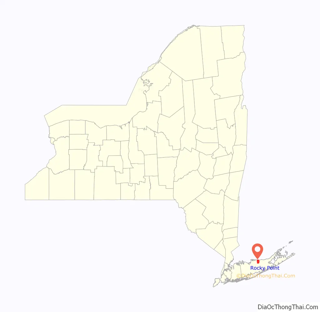
Rocky Point location map. Where is Rocky Point CDP?
History
Rocky Point is home to the site where American radio company RCA once operated a large transmitting and transmitter research facility, known as Radio Central. RCA began to transmit transatlantic radio messages from Radio Central after its opening on November 5, 1921.
On January 7, 1927, AT&T initiated the first transatlantic commercial telephone service, linking London and New York. AT&T’s transmitter was at Radio Central, and their receiver was in Houlton, Maine. The radiotelephone signal from Radio Central was received by the British General Post Office’s receiver facility in Cupar, Scotland.
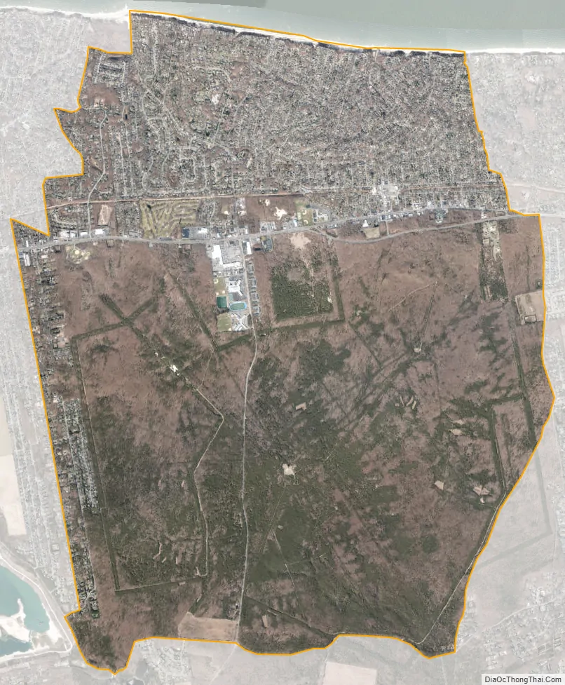
The 5,200-acre (21 km) Rocky Point site was decommissioned in 1978 and demolished in the 1980s. It now consists of many concrete ruins and downed telephone poles and radio towers, owned by the New York State Department of Environmental Conservation. It is part of the Rocky Point Natural Resources Management Area, which is in the Long Island Central Pine Barrens. The site gives an interesting insight into the 1920s, because—being in the middle of the forest—the footprints of the site remain largely untouched since its operational period. The western terminus of the 125-mile-long (201 km) Paumanok Path hiking trail is in the forest, with the eastern terminus at the Montauk Point Light.
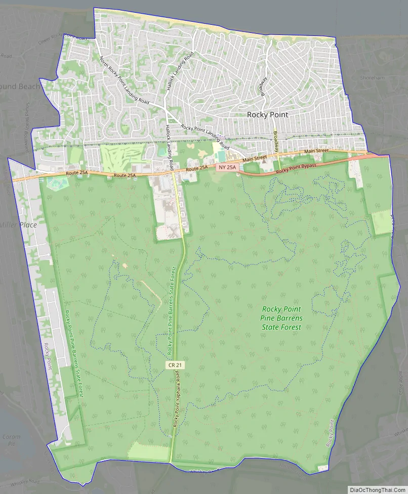
Rocky Point Road Map
Rocky Point city Satellite Map
Geography
The community is on the North Shore of Long Island. According to the United States Census Bureau, the CDP has a total area of 11.3 square miles (29.3 km), all land.
See also
Map of New York State and its subdivision:- Albany
- Allegany
- Bronx
- Broome
- Cattaraugus
- Cayuga
- Chautauqua
- Chemung
- Chenango
- Clinton
- Columbia
- Cortland
- Delaware
- Dutchess
- Erie
- Essex
- Franklin
- Fulton
- Genesee
- Greene
- Hamilton
- Herkimer
- Jefferson
- Kings
- Lake Ontario
- Lewis
- Livingston
- Madison
- Monroe
- Montgomery
- Nassau
- New York
- Niagara
- Oneida
- Onondaga
- Ontario
- Orange
- Orleans
- Oswego
- Otsego
- Putnam
- Queens
- Rensselaer
- Richmond
- Rockland
- Saint Lawrence
- Saratoga
- Schenectady
- Schoharie
- Schuyler
- Seneca
- Steuben
- Suffolk
- Sullivan
- Tioga
- Tompkins
- Ulster
- Warren
- Washington
- Wayne
- Westchester
- Wyoming
- Yates
- Alabama
- Alaska
- Arizona
- Arkansas
- California
- Colorado
- Connecticut
- Delaware
- District of Columbia
- Florida
- Georgia
- Hawaii
- Idaho
- Illinois
- Indiana
- Iowa
- Kansas
- Kentucky
- Louisiana
- Maine
- Maryland
- Massachusetts
- Michigan
- Minnesota
- Mississippi
- Missouri
- Montana
- Nebraska
- Nevada
- New Hampshire
- New Jersey
- New Mexico
- New York
- North Carolina
- North Dakota
- Ohio
- Oklahoma
- Oregon
- Pennsylvania
- Rhode Island
- South Carolina
- South Dakota
- Tennessee
- Texas
- Utah
- Vermont
- Virginia
- Washington
- West Virginia
- Wisconsin
- Wyoming


