Ronkonkoma (/rɒnˈkɒŋkəmə/ ron-KONG-kə-mə) is a hamlet and census-designated place (CDP) in the Town of Islip in Suffolk County, on Long Island, in New York, United States. The population was 19,082 at the 2010 census. The Ronkonkoma post office has the ZIP Code 11779, and serves parts of several hamlets and CDPs adjacent to Ronkonkoma.
Ronkonkoma is also home to Long Island MacArthur Airport, which is owned and operated by the Town of Islip. The New York Air Route Traffic Control Center is located in Ronkonkoma.
| Name: | Ronkonkoma CDP |
|---|---|
| LSAD Code: | 57 |
| LSAD Description: | CDP (suffix) |
| State: | New York |
| County: | Suffolk County |
| Elevation: | 112 ft (34 m) |
| Total Area: | 8.44 sq mi (21.86 km²) |
| Land Area: | 8.11 sq mi (21.00 km²) |
| Water Area: | 0.33 sq mi (0.86 km²) |
| Total Population: | 18,955 |
| Population Density: | 2,337.81/sq mi (902.63/km²) |
| ZIP code: | 11779 |
| Area code: | 631, 934 |
| FIPS code: | 3663473 |
| GNISfeature ID: | 0962854 |
Online Interactive Map
Click on ![]() to view map in "full screen" mode.
to view map in "full screen" mode.
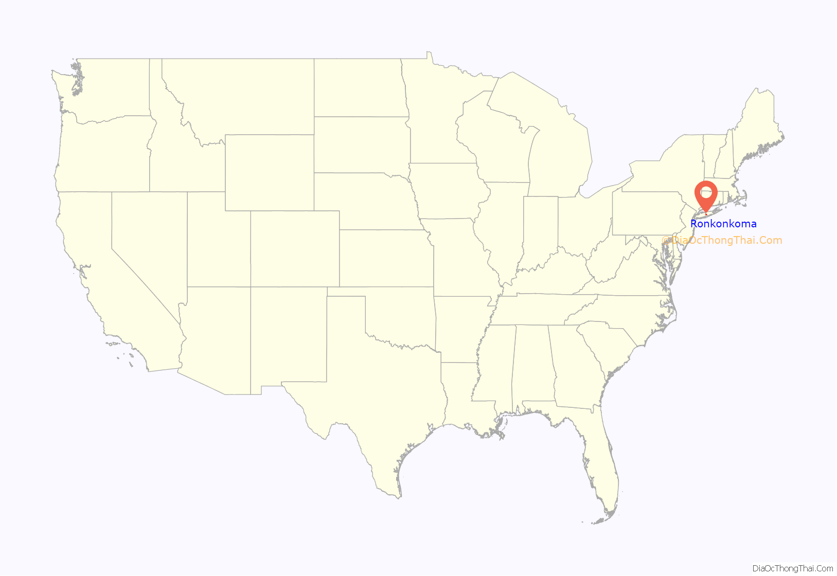
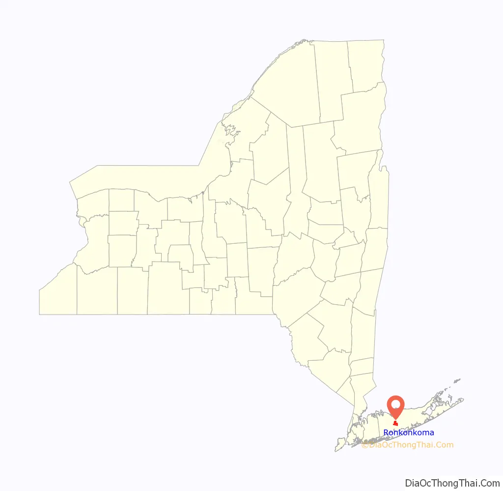
Ronkonkoma location map. Where is Ronkonkoma CDP?
History
The name “Ronkonkoma” comes from the nearby Lake Ronkonkoma, which in turn comes from an Algonquian expression meaning “boundary fishing-lake”, also earlier written as “Raconkumake” and “Raconkamuck.”
Since 1988, Ronkonkoma has been the end of electrification along the Long Island Rail Road’s Main Line. The track between Hicksville and Ronkonkoma is known as the Ronkonkoma Branch. In 2017, Governor Andrew Cuomo announced the groundbreaking of a new $650 million development to create a Ronkonkoma Hub near the LIRR Line, similar to the hub in neighboring Brookhaven.
Ronkonkoma was the terminus of the first road in the United States designed exclusively for automobiles, the Vanderbilt Motor Parkway, constructed by a consortium of investors called the Long Island Motor Parkway, Inc. led by William Kissam Vanderbilt II.
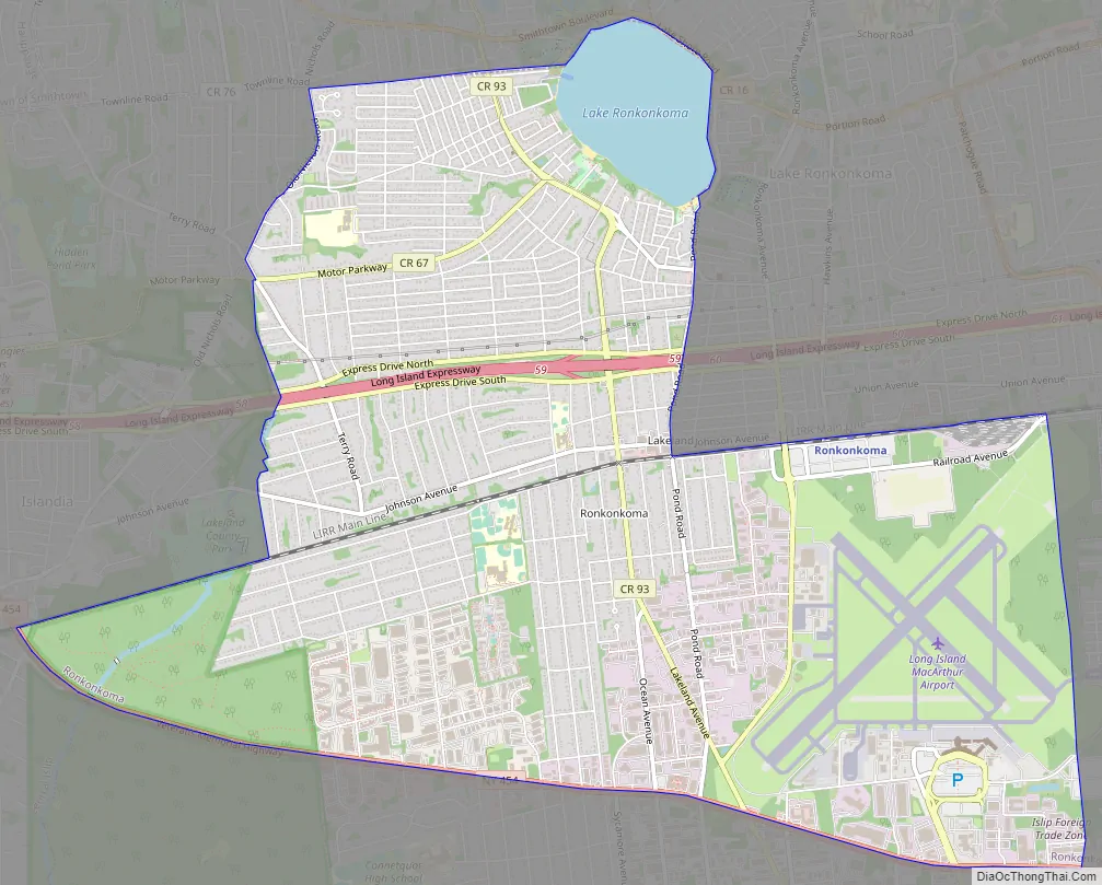
Ronkonkoma Road Map
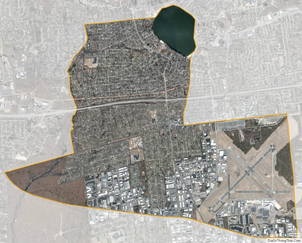
Ronkonkoma city Satellite Map
Geography
According to the United States Census Bureau, the CDP has a total area of 8.1 square miles (21.1 km), of which 0.35 square miles (0.9 km), or 4.07%, is covered by water. The community is adjacent to Lake Ronkonkoma.
See also
Map of New York State and its subdivision:- Albany
- Allegany
- Bronx
- Broome
- Cattaraugus
- Cayuga
- Chautauqua
- Chemung
- Chenango
- Clinton
- Columbia
- Cortland
- Delaware
- Dutchess
- Erie
- Essex
- Franklin
- Fulton
- Genesee
- Greene
- Hamilton
- Herkimer
- Jefferson
- Kings
- Lake Ontario
- Lewis
- Livingston
- Madison
- Monroe
- Montgomery
- Nassau
- New York
- Niagara
- Oneida
- Onondaga
- Ontario
- Orange
- Orleans
- Oswego
- Otsego
- Putnam
- Queens
- Rensselaer
- Richmond
- Rockland
- Saint Lawrence
- Saratoga
- Schenectady
- Schoharie
- Schuyler
- Seneca
- Steuben
- Suffolk
- Sullivan
- Tioga
- Tompkins
- Ulster
- Warren
- Washington
- Wayne
- Westchester
- Wyoming
- Yates
- Alabama
- Alaska
- Arizona
- Arkansas
- California
- Colorado
- Connecticut
- Delaware
- District of Columbia
- Florida
- Georgia
- Hawaii
- Idaho
- Illinois
- Indiana
- Iowa
- Kansas
- Kentucky
- Louisiana
- Maine
- Maryland
- Massachusetts
- Michigan
- Minnesota
- Mississippi
- Missouri
- Montana
- Nebraska
- Nevada
- New Hampshire
- New Jersey
- New Mexico
- New York
- North Carolina
- North Dakota
- Ohio
- Oklahoma
- Oregon
- Pennsylvania
- Rhode Island
- South Carolina
- South Dakota
- Tennessee
- Texas
- Utah
- Vermont
- Virginia
- Washington
- West Virginia
- Wisconsin
- Wyoming


