Roosevelt (historically known as Greenwich and Rum Point) is a hamlet and census-designated place (CDP) in the Town of Hempstead in Nassau County, on the South Shore of Long Island, in New York, United States. The population was 18,066 at the 2020 census.
| Name: | Roosevelt CDP |
|---|---|
| LSAD Code: | 57 |
| LSAD Description: | CDP (suffix) |
| State: | New York |
| County: | Nassau County |
| Elevation: | 39 ft (12 m) |
| Total Area: | 1.78 sq mi (4.61 km²) |
| Land Area: | 1.77 sq mi (4.58 km²) |
| Water Area: | 0.01 sq mi (0.03 km²) |
| Total Population: | 18,066 |
| Population Density: | 10,206.78/sq mi (3,940.24/km²) |
| ZIP code: | 11575 |
| Area code: | 516 |
| FIPS code: | 3663506 |
| GNISfeature ID: | 0962860 |
Online Interactive Map
Click on ![]() to view map in "full screen" mode.
to view map in "full screen" mode.
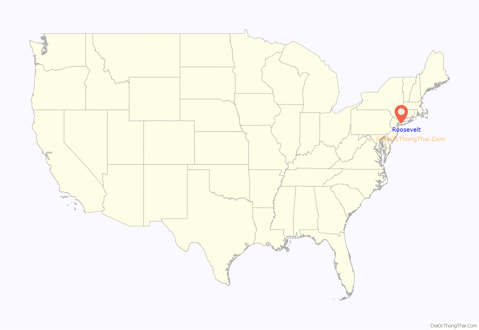
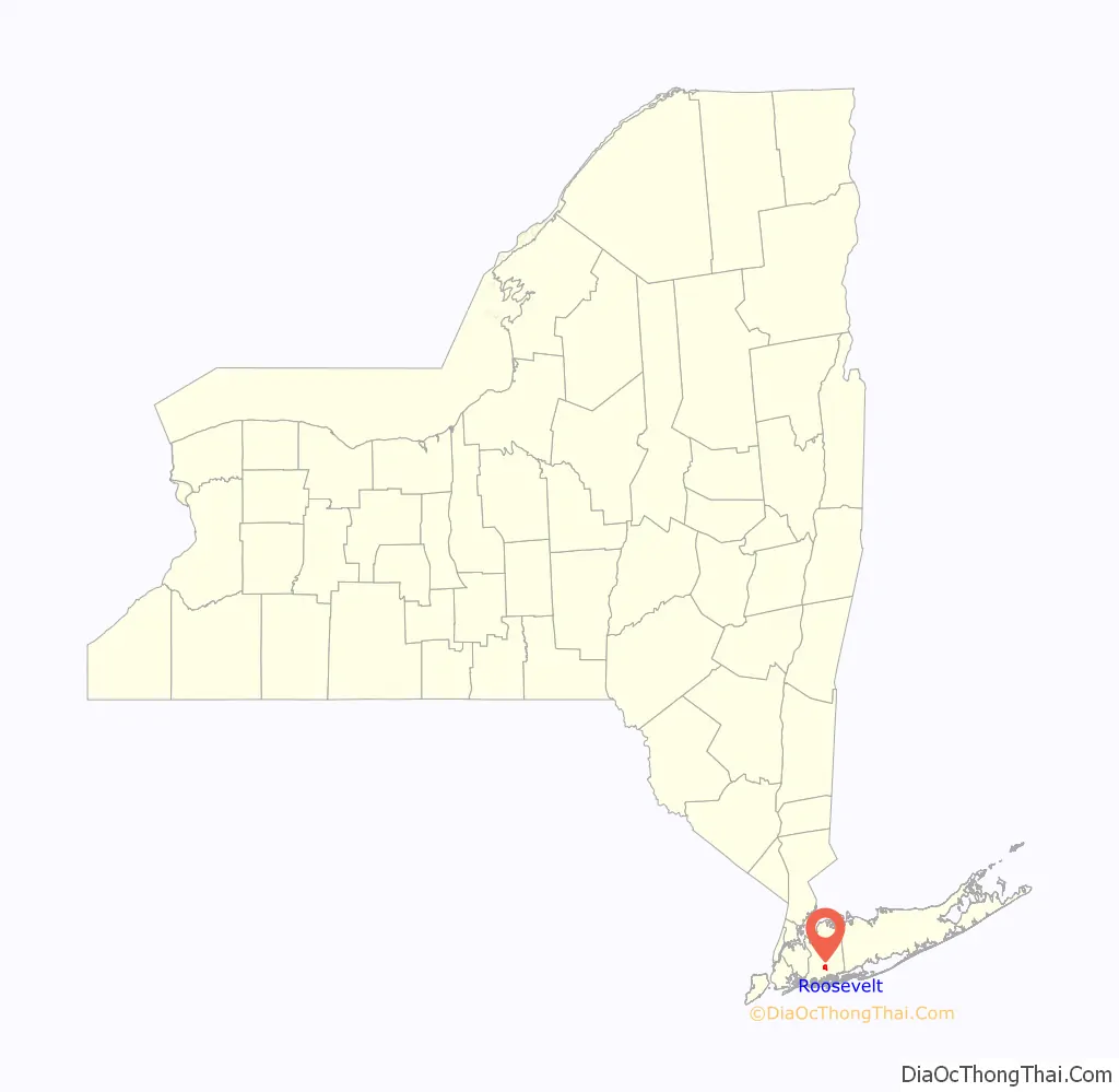
Roosevelt location map. Where is Roosevelt CDP?
History
The community is named for former President Theodore Roosevelt, but was also known as Greenwich and Rum Point for a time before that. While Roosevelt once had a predominantly-white population, white flight and real estate blockbusting became a major issue during the postwar housing boom in the 1950s and 1960s, when the community saw an influx of African-American residents.
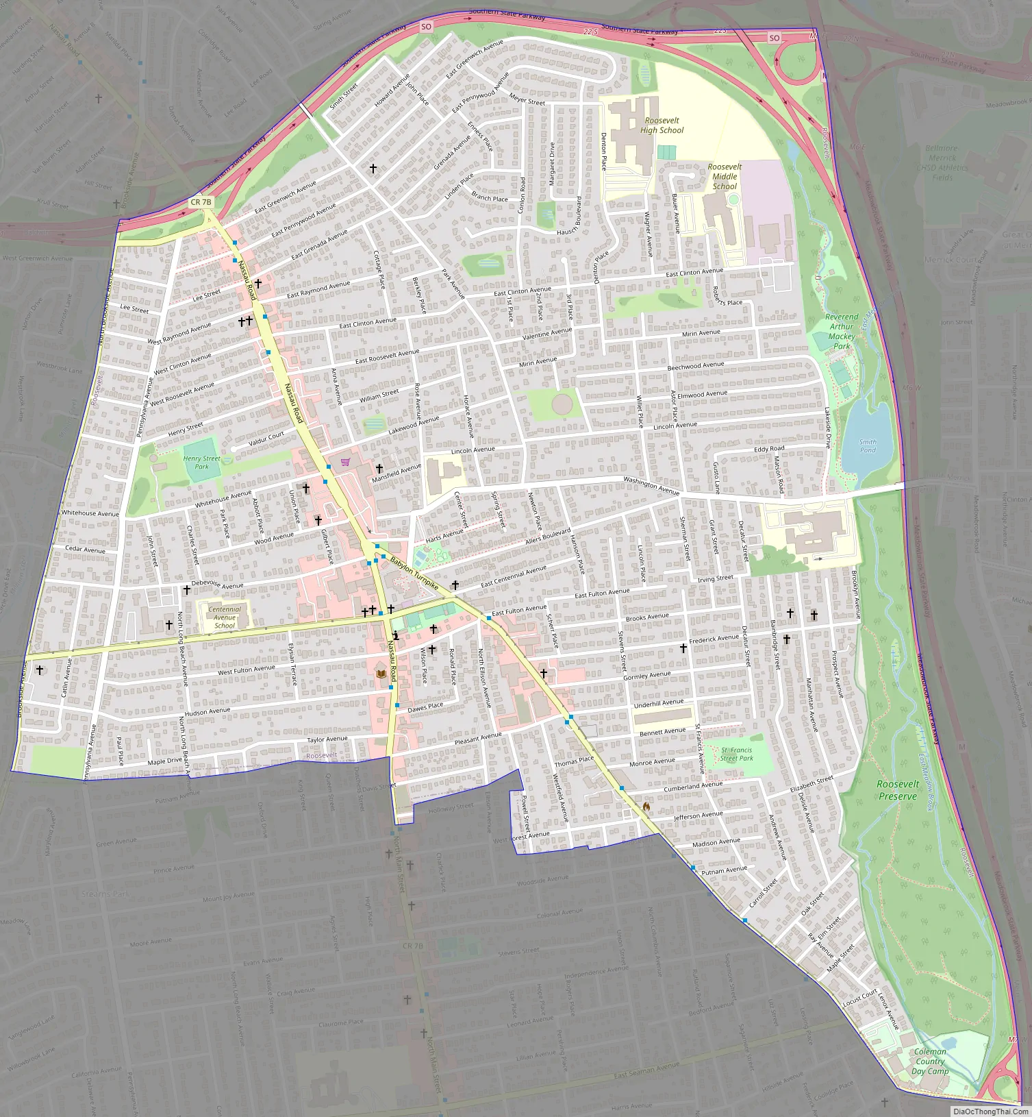
Roosevelt Road Map
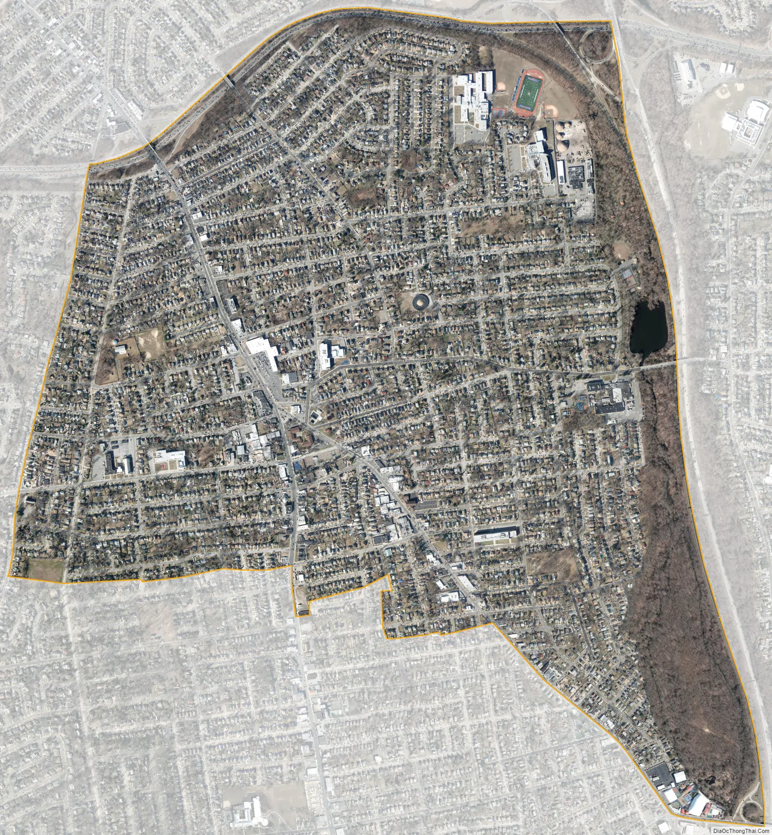
Roosevelt city Satellite Map
Geography
According to the United States Census Bureau, the CDP has a total area of 1.8 square miles (4.6 km), of which 1.8 square miles (4.6 km) is land and 0.56% is water.
See also
Map of New York State and its subdivision:- Albany
- Allegany
- Bronx
- Broome
- Cattaraugus
- Cayuga
- Chautauqua
- Chemung
- Chenango
- Clinton
- Columbia
- Cortland
- Delaware
- Dutchess
- Erie
- Essex
- Franklin
- Fulton
- Genesee
- Greene
- Hamilton
- Herkimer
- Jefferson
- Kings
- Lake Ontario
- Lewis
- Livingston
- Madison
- Monroe
- Montgomery
- Nassau
- New York
- Niagara
- Oneida
- Onondaga
- Ontario
- Orange
- Orleans
- Oswego
- Otsego
- Putnam
- Queens
- Rensselaer
- Richmond
- Rockland
- Saint Lawrence
- Saratoga
- Schenectady
- Schoharie
- Schuyler
- Seneca
- Steuben
- Suffolk
- Sullivan
- Tioga
- Tompkins
- Ulster
- Warren
- Washington
- Wayne
- Westchester
- Wyoming
- Yates
- Alabama
- Alaska
- Arizona
- Arkansas
- California
- Colorado
- Connecticut
- Delaware
- District of Columbia
- Florida
- Georgia
- Hawaii
- Idaho
- Illinois
- Indiana
- Iowa
- Kansas
- Kentucky
- Louisiana
- Maine
- Maryland
- Massachusetts
- Michigan
- Minnesota
- Mississippi
- Missouri
- Montana
- Nebraska
- Nevada
- New Hampshire
- New Jersey
- New Mexico
- New York
- North Carolina
- North Dakota
- Ohio
- Oklahoma
- Oregon
- Pennsylvania
- Rhode Island
- South Carolina
- South Dakota
- Tennessee
- Texas
- Utah
- Vermont
- Virginia
- Washington
- West Virginia
- Wisconsin
- Wyoming


