Roslyn (/ˈrɒzlɪn/ ROZ-lin) is a village in the Town of North Hempstead in Nassau County, on the North Shore of Long Island, in New York, United States. It is the Greater Roslyn area’s anchor community. The population was 2,770 at the 2010 census.
| Name: | Roslyn village |
|---|---|
| LSAD Code: | 47 |
| LSAD Description: | village (suffix) |
| State: | New York |
| County: | Nassau County |
| Incorporated: | January 11, 1932 |
| Elevation: | 91 ft (30 m) |
| Total Area: | 0.66 sq mi (1.70 km²) |
| Land Area: | 0.65 sq mi (1.67 km²) |
| Water Area: | 0.01 sq mi (0.03 km²) |
| Total Population: | 2,988 |
| Population Density: | 4,632.56/sq mi (1,788.17/km²) |
| ZIP code: | 11576, 11577 |
| FIPS code: | 3663770 |
| GNISfeature ID: | 0962929 |
| Website: | www.roslynny.gov |
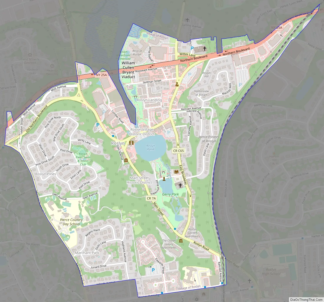
Online Interactive Map
Click on ![]() to view map in "full screen" mode.
to view map in "full screen" mode.
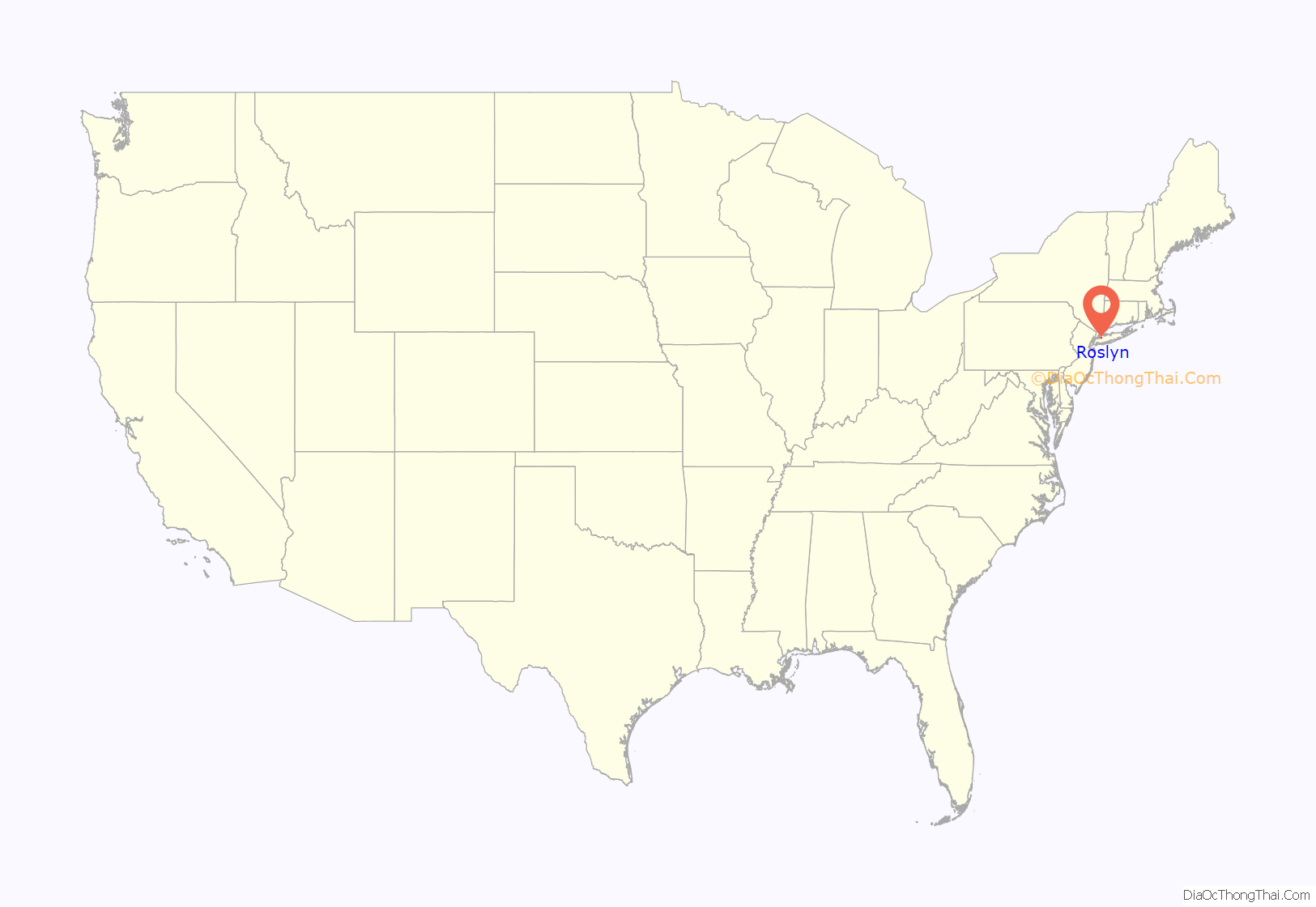
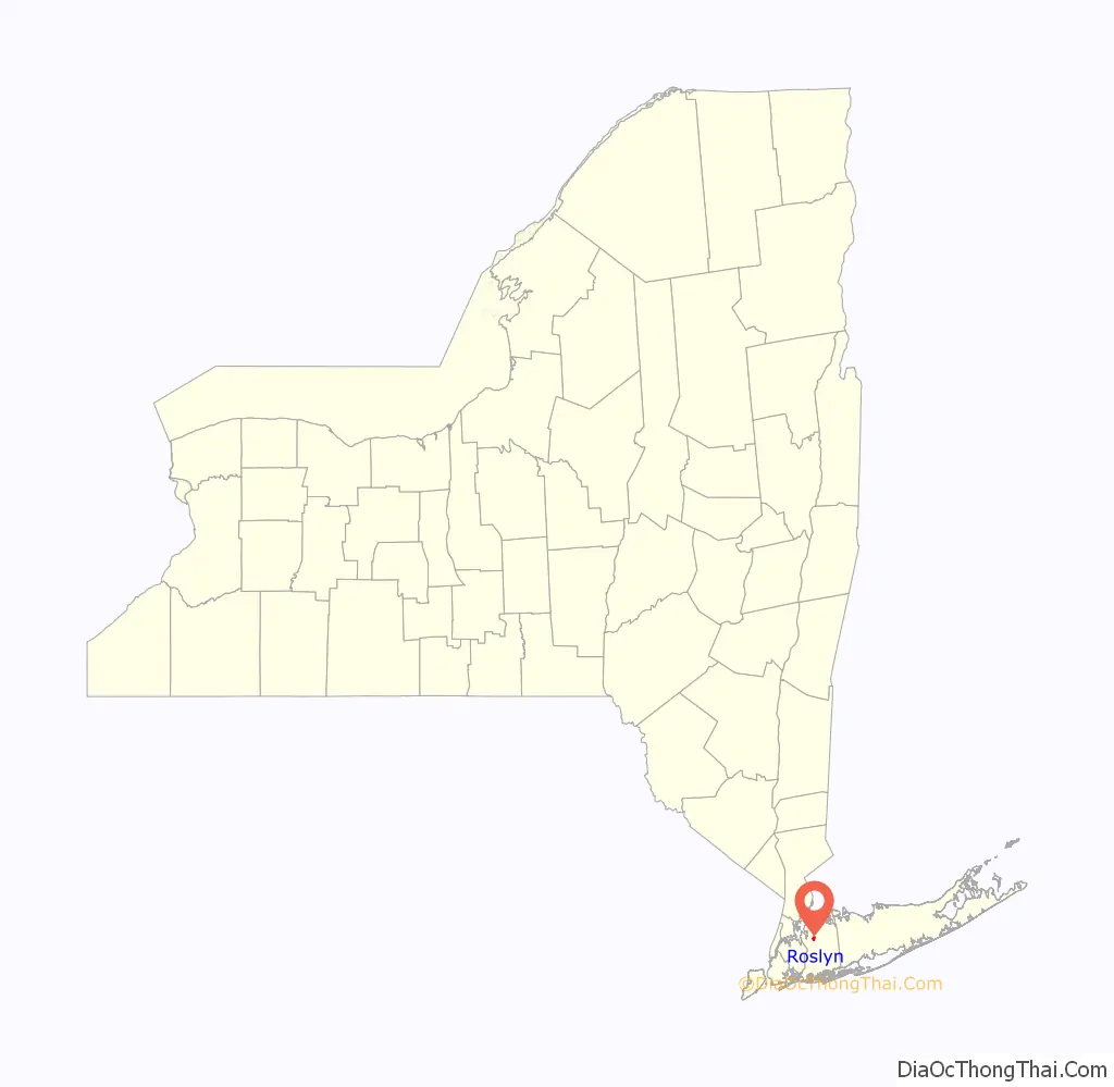
Roslyn location map. Where is Roslyn village?
History
Roslyn was initially settled by colonists in the year 1643. It was originally called Hempstead Harbor, but its name was changed to Roslyn in 1844 due to postal confusion regarding all the other “Hempsteads” scattered about Long Island. The name “Roslyn” was selected as the new name, as its location in a valley reminded officials of Roslin, Scotland.
Roslyn was incorporated as a village on January 11, 1932. Its first Mayor was Albertson W. Hicks, who was unanimously elected two days later, on January 13.
In the late 1940s, the 217-unit Roslyn Gardens co-op development was built. Located off of Warner Avenue, it was built in part with funding from Title 608 of the Federal Housing Administration and was the first major rental housing development built in the New York area under Title 608’s then-new provisions. The complex was designed by architects Max M. Simon and T. E. Merrill.
The former Rubel estate in the village was developed as the Roslyn Pines subdivision in the 1950s, consisting of roughly 102 homes.
The Ellen E. Ward Memorial Clock Tower in Roslyn was designed by Lamb and Rich, and was completed in 1895. It was sold to the Village of Roslyn by the Town of North Hempstead for $1 for its centennial in 1995.
Also taking place in 1995 was the opening of the Village of Roslyn’s current Village Hall on Old Northern Boulevard.
Roslyn Road Map
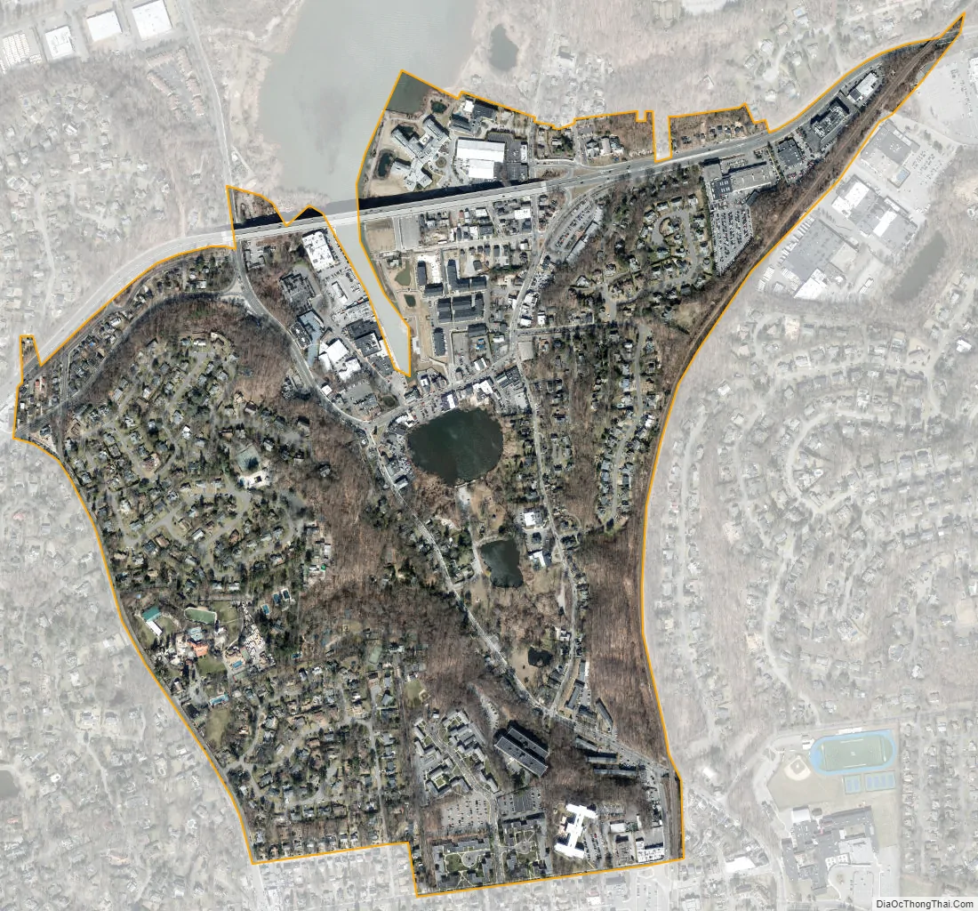
Roslyn city Satellite Map
Geography
According to the United States Census Bureau, the village has a total area of 0.6 square miles (1.6 km), of which 0.6 square miles (1.6 km) is land and 1.56% is water.
Topography
According to the United States Environmental Protection Agency and the United States Geological Survey, the highest point in Roslyn is located near Piper Court, at approximately 253 feet (77 m), and the lowest point is Hempstead Harbor, which is at sea level.
Drainage
Roslyn is split between two minor drainage areas: Hempstead Harbor (part of the Hempstead Harbor Watershed) and Mill River (part of the Mill River Watershed). The majority of Roslyn is within the Hempstead Harbor Watershed, meaning water in those areas drains north to Hempstead Harbor and ultimately into the Long Island Sound. Meanwhile, the southwestern edge of the village is within the Mill River Watershed, meaning water in that area drains south to the Mill River and ultimately into Hewlett Bay and the Atlantic Ocean.
Additionally, all of Roslyn is located within the larger Long Island Sound/Atlantic Ocean Watershed.
Climate
According to the Köppen climate classification, Roslyn has a four-season warm temperate climate (type Cfa) with cool, wet winters and hot, humid summers. Precipitation is uniform throughout the year, with slight spring and fall peaks. (Note, the labels in the chart below are backwards; metric units should be in parentheses.)
See also
Map of New York State and its subdivision:- Albany
- Allegany
- Bronx
- Broome
- Cattaraugus
- Cayuga
- Chautauqua
- Chemung
- Chenango
- Clinton
- Columbia
- Cortland
- Delaware
- Dutchess
- Erie
- Essex
- Franklin
- Fulton
- Genesee
- Greene
- Hamilton
- Herkimer
- Jefferson
- Kings
- Lake Ontario
- Lewis
- Livingston
- Madison
- Monroe
- Montgomery
- Nassau
- New York
- Niagara
- Oneida
- Onondaga
- Ontario
- Orange
- Orleans
- Oswego
- Otsego
- Putnam
- Queens
- Rensselaer
- Richmond
- Rockland
- Saint Lawrence
- Saratoga
- Schenectady
- Schoharie
- Schuyler
- Seneca
- Steuben
- Suffolk
- Sullivan
- Tioga
- Tompkins
- Ulster
- Warren
- Washington
- Wayne
- Westchester
- Wyoming
- Yates
- Alabama
- Alaska
- Arizona
- Arkansas
- California
- Colorado
- Connecticut
- Delaware
- District of Columbia
- Florida
- Georgia
- Hawaii
- Idaho
- Illinois
- Indiana
- Iowa
- Kansas
- Kentucky
- Louisiana
- Maine
- Maryland
- Massachusetts
- Michigan
- Minnesota
- Mississippi
- Missouri
- Montana
- Nebraska
- Nevada
- New Hampshire
- New Jersey
- New Mexico
- New York
- North Carolina
- North Dakota
- Ohio
- Oklahoma
- Oregon
- Pennsylvania
- Rhode Island
- South Carolina
- South Dakota
- Tennessee
- Texas
- Utah
- Vermont
- Virginia
- Washington
- West Virginia
- Wisconsin
- Wyoming


