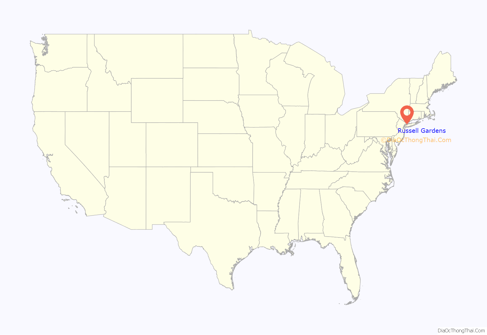
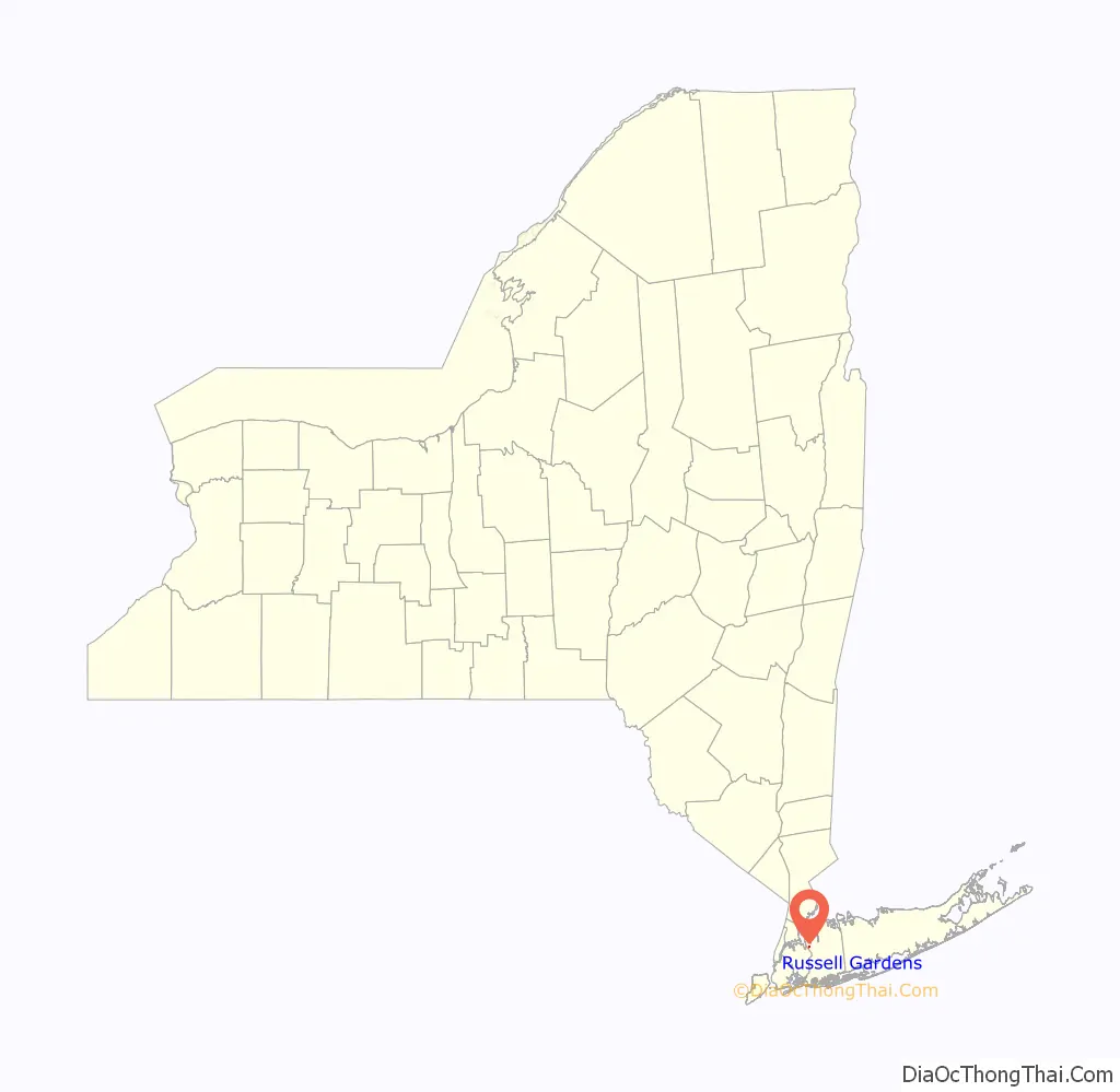
Russell Gardens is a village on the Great Neck Peninsula in the Town of North Hempstead, in Nassau County, on the North Shore of Long Island, in New York, United States. The population was 945 at the 2010 census.
The area was proposed to become part of neighboring Thomaston in that village’s original incorporation plans – but residents objected and decided instead to incorporate Russell Gardens as a separate village that same year.
| Name: | Russell Gardens village |
|---|---|
| LSAD Code: | 47 |
| LSAD Description: | village (suffix) |
| State: | New York |
| County: | Nassau County |
| Incorporated: | 1931 |
| Elevation: | 131 ft (40 m) |
| Total Area: | 0.17 sq mi (0.45 km²) |
| Land Area: | 0.17 sq mi (0.45 km²) |
| Water Area: | 0.00 sq mi (0.00 km²) |
| Total Population: | 978 |
| Population Density: | 5,620.69/sq mi (2,174.83/km²) |
| ZIP code: | 11021 |
| Area code: | 516 |
| FIPS code: | 3664232 |
| GNISfeature ID: | 0963113 |
| Website: | www.russellgardens.com |
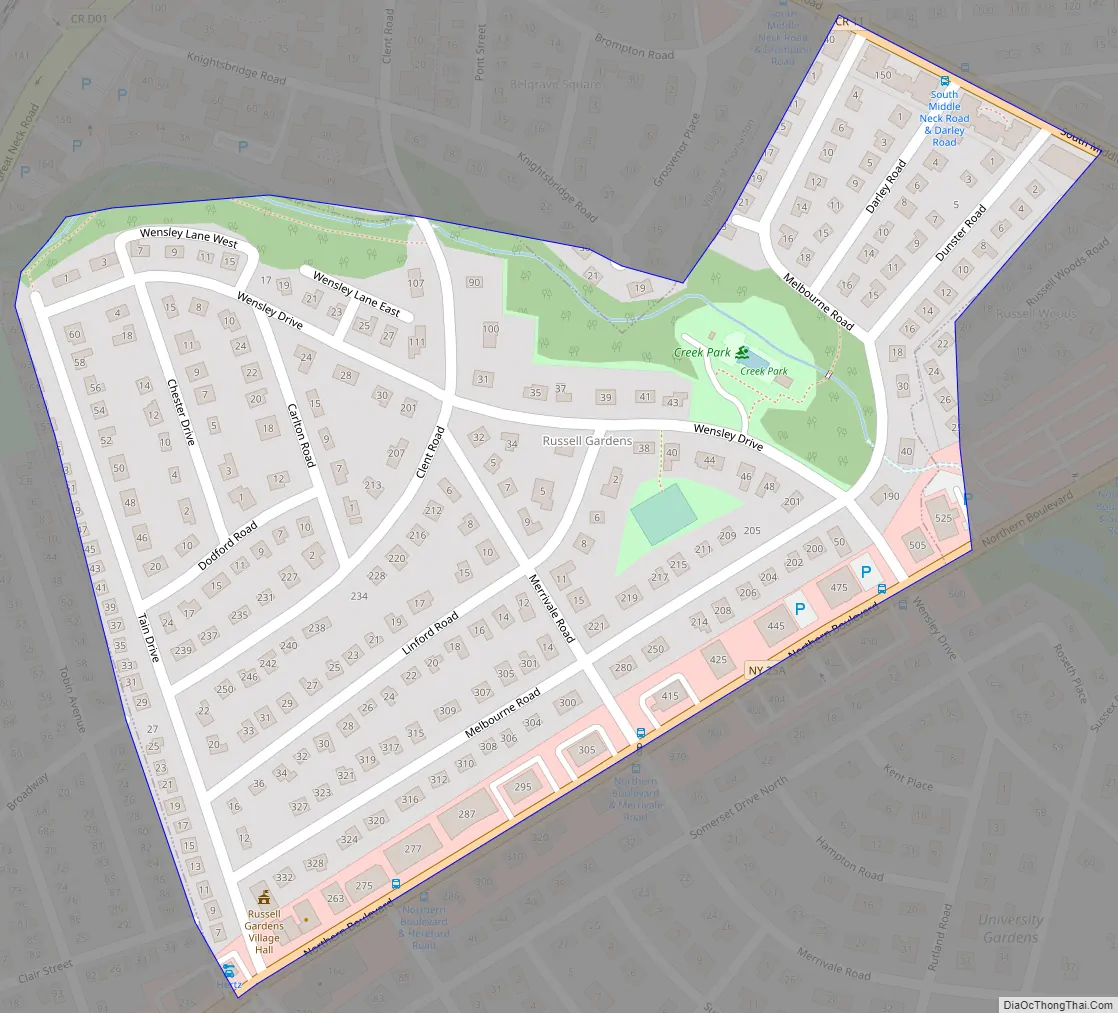
Online Interactive Map
Click on ![]() to view map in "full screen" mode.
to view map in "full screen" mode.
Russell Gardens location map. Where is Russell Gardens village?
History
Russell Gardens was originally developed by Francis H. Knighton, who had previously played a small role in the Rickert–Finlay Realty Company, which developed the nearby community of Kensington.
The majority of the 135-acre (55 ha) area now encompassing the village was originally part of the estate of Captain Frederick Russell. The estate had previously been owned by the Schenck family and subsequently by the Haviland family. Other areas were purchased from Arthur Cushman, as well as from others. After purchasing the land, Knighton quickly started to develop it, and chose to name his development after Captain Russel by naming it Russell Gardens; the name would become Russell Gardens, Incorporated when Knighton opted to incorporate the syndicate which had been assisting him in the financing of his endeavors.
The group would continue developing the community, laying out streets, utilities, and parkland. They opted to place all of the community’s wiring underground and had landscaper J.J. Levinson landscape for the community.
In 1931, around the same time when neighboring Thomaston proposed incorporating itself and potentially taking in this development as part of their village, the residents felt that in order to maintain the character of their community, it would be imperative for them to incorporate Russell Gardens as a separate village in order to create and pass their own zoning ordinances. Subsequently, the majority of Russell Gardens residents ultimately voted in favor of incorporation that year, and Russell Gardens officially became its own incorporated village.
Russell Gardens Road Map
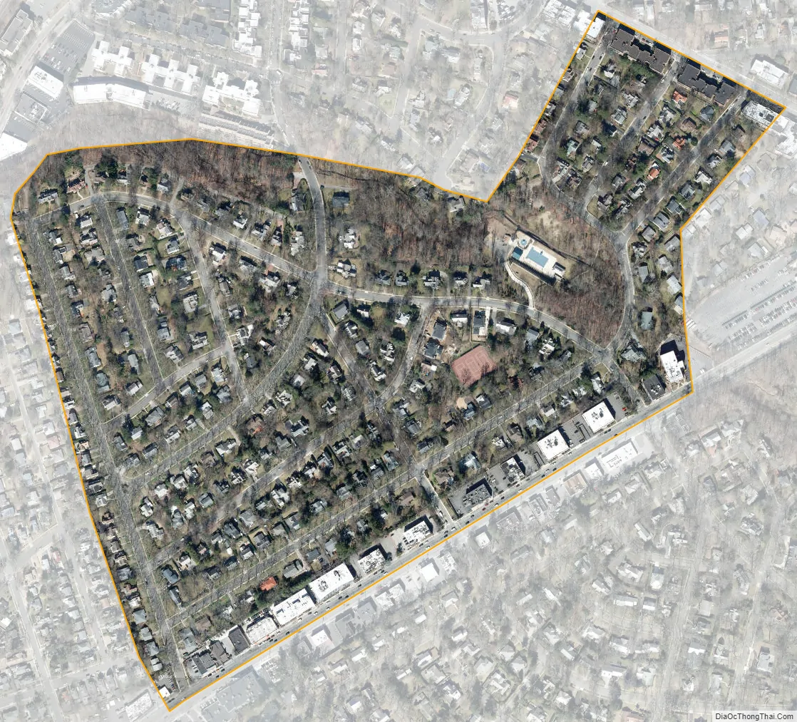
Russell Gardens city Satellite Map
Geography
According to the United States Census Bureau, the village has a total area of 0.2 square miles (0.52 km), all land.
See also
Map of New York State and its subdivision:- Albany
- Allegany
- Bronx
- Broome
- Cattaraugus
- Cayuga
- Chautauqua
- Chemung
- Chenango
- Clinton
- Columbia
- Cortland
- Delaware
- Dutchess
- Erie
- Essex
- Franklin
- Fulton
- Genesee
- Greene
- Hamilton
- Herkimer
- Jefferson
- Kings
- Lake Ontario
- Lewis
- Livingston
- Madison
- Monroe
- Montgomery
- Nassau
- New York
- Niagara
- Oneida
- Onondaga
- Ontario
- Orange
- Orleans
- Oswego
- Otsego
- Putnam
- Queens
- Rensselaer
- Richmond
- Rockland
- Saint Lawrence
- Saratoga
- Schenectady
- Schoharie
- Schuyler
- Seneca
- Steuben
- Suffolk
- Sullivan
- Tioga
- Tompkins
- Ulster
- Warren
- Washington
- Wayne
- Westchester
- Wyoming
- Yates
- Alabama
- Alaska
- Arizona
- Arkansas
- California
- Colorado
- Connecticut
- Delaware
- District of Columbia
- Florida
- Georgia
- Hawaii
- Idaho
- Illinois
- Indiana
- Iowa
- Kansas
- Kentucky
- Louisiana
- Maine
- Maryland
- Massachusetts
- Michigan
- Minnesota
- Mississippi
- Missouri
- Montana
- Nebraska
- Nevada
- New Hampshire
- New Jersey
- New Mexico
- New York
- North Carolina
- North Dakota
- Ohio
- Oklahoma
- Oregon
- Pennsylvania
- Rhode Island
- South Carolina
- South Dakota
- Tennessee
- Texas
- Utah
- Vermont
- Virginia
- Washington
- West Virginia
- Wisconsin
- Wyoming


