Sagaponack /sæɡəˈpɒnək/ is a village in the Town of Southampton in Suffolk County, on the East End of Long Island, in New York, United States. The population of the village was 770 at the 2020 census.
| Name: | Sagaponack village |
|---|---|
| LSAD Code: | 47 |
| LSAD Description: | village (suffix) |
| State: | New York |
| County: | Suffolk County |
| Incorporated: | 2005 |
| Elevation: | 23 ft (7 m) |
| Total Area: | 4.65 sq mi (12.05 km²) |
| Land Area: | 4.41 sq mi (11.42 km²) |
| Water Area: | 0.24 sq mi (0.63 km²) |
| Total Population: | 770 |
| Population Density: | 174.60/sq mi (67.42/km²) |
| ZIP code: | 11962 |
| FIPS code: | 3664452 |
| GNISfeature ID: | 0963225 |
| Website: | www.sagaponackvillage.org |
Online Interactive Map
Click on ![]() to view map in "full screen" mode.
to view map in "full screen" mode.
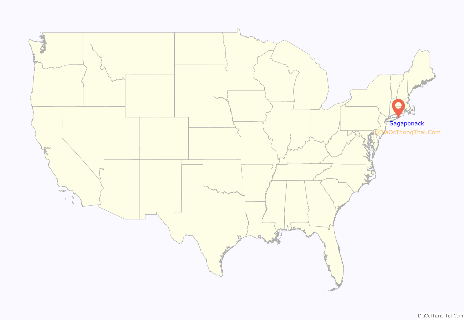
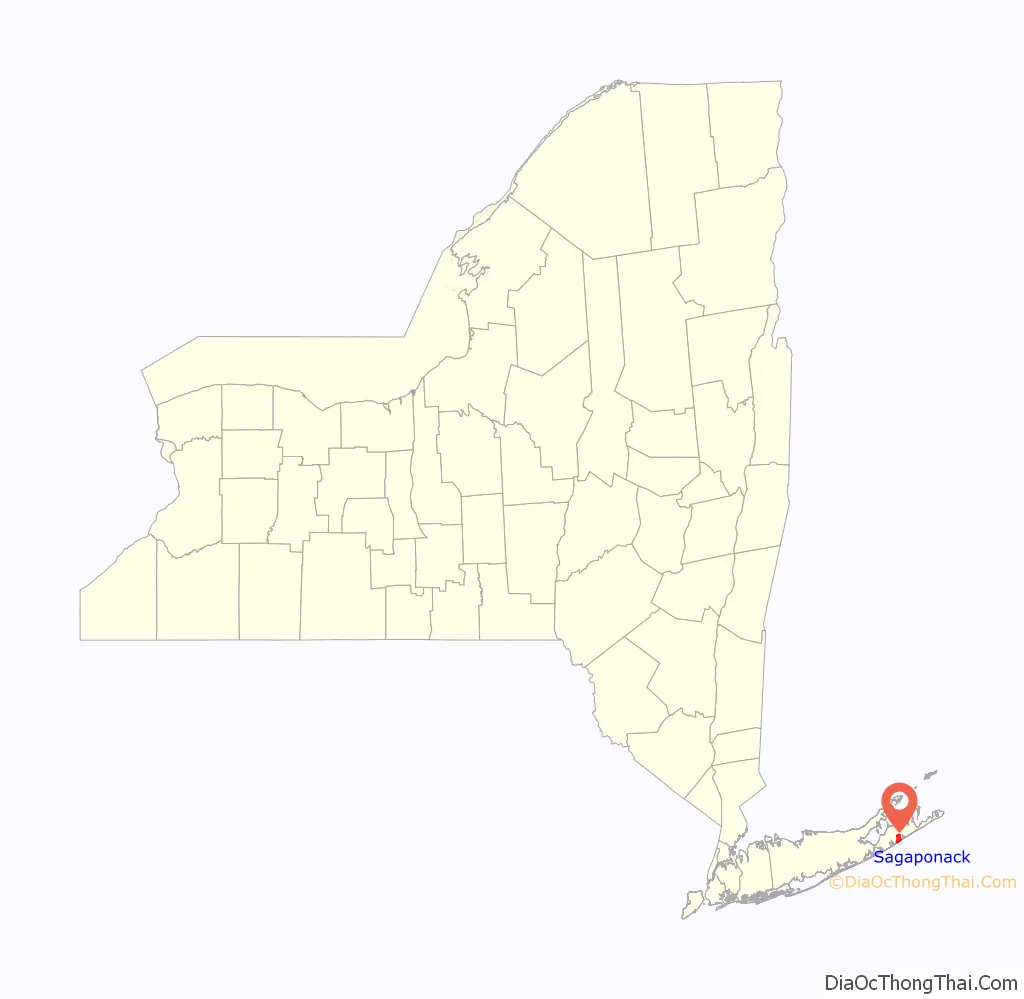
Sagaponack location map. Where is Sagaponack village?
History
The area was first settled around 1653. The village was incorporated on September 2, 2005, in the wake of the failed attempt by Dunehampton, New York to incorporate. Dunehampton’s incorporation would have blocked Sagaponack from beaches on the Atlantic Ocean. The villages are seeking to address various beach issues including erosion arising from groynes at Georgica Pond in East Hampton village.
Prior to its incorporation, Sagaponack was a census-designated place, with a population at the 2000 census of 582 for an area 70% greater than that of the current village.
The name Sagaponack comes from the Shinnecock Nation’s word for “land of the big ground nuts”, in reference to the Ground Nut (Apios americana). A common misconception is that the name referred to potatoes, the predominant crop grown by farmers who first settled the area. Many of the huge estates in the village were built on former potato fields. Its first settler was Josiah Stanborough in 1656. The village was originally called Sagg.
Sag Harbor, just north of Sagaponack, is believed to have derived its name from the village. West of Sagaponack is a place that the Native Americans called Mecox, now a hamlet on the west side of Sagaponack Lake in the CDP of Bridgehampton.
In July 2015, according to Business Insider, the 11962 ZIP Code encompassing Sagaponack was listed as the most expensive in the U.S., with a median home sale price of $5,125,000, rising to $8,500,000 in the end of the year.
The village was home to many writers and literary business persons beginning in the 1950s and 1960s, appreciated for its quiet and cheap community living.
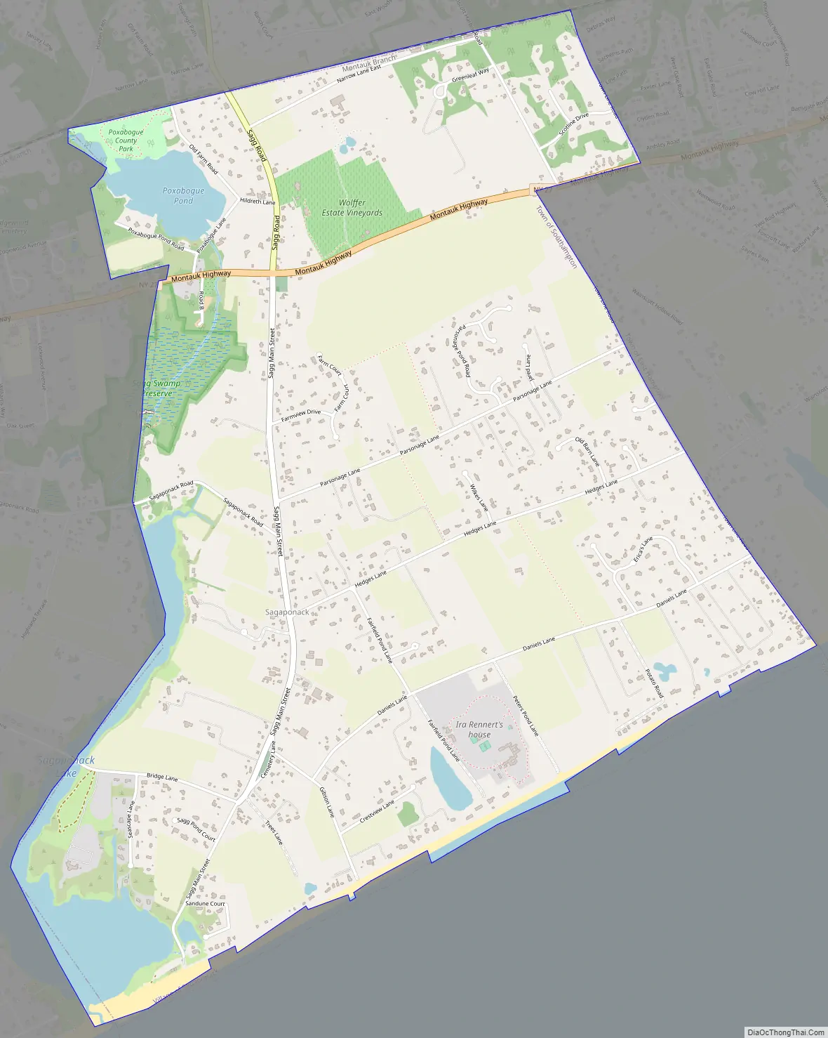
Sagaponack Road Map
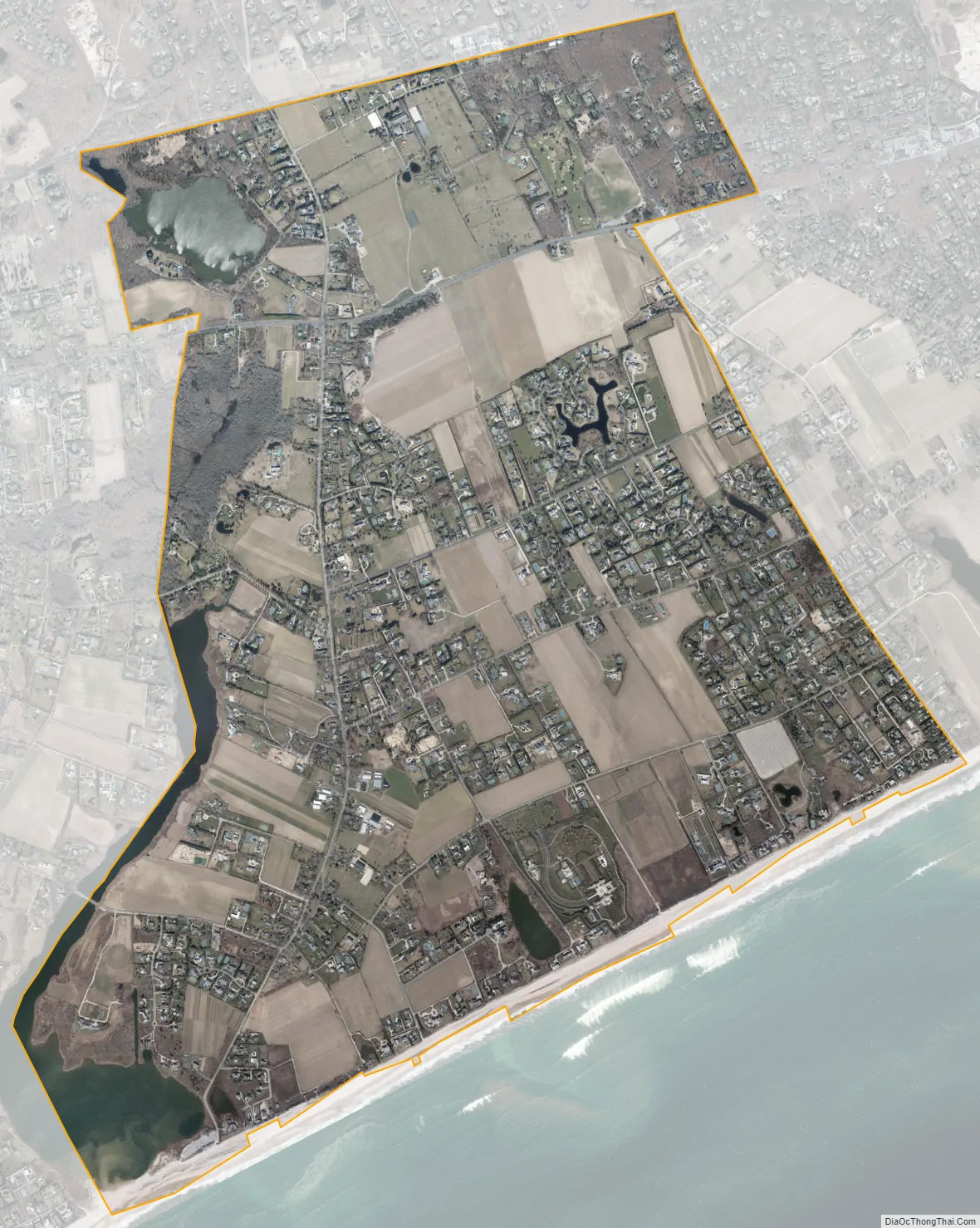
Sagaponack city Satellite Map
Geography
According to the United States Census Bureau, Sagaponack village has a total area of 4.7 square miles (12.1 km), of which 4.4 square miles (11.4 km) is land and 0.23 square miles (0.6 km), or 5.15%, is water.
At the 2000 census, the former, unincorporated Sagaponack CDP had a total area of 8.0 square miles (21 km), of which 6.2 square miles (16 km) was land and 1.8 square miles (4.7 km), or 22.35%, was water.
See also
Map of New York State and its subdivision:- Albany
- Allegany
- Bronx
- Broome
- Cattaraugus
- Cayuga
- Chautauqua
- Chemung
- Chenango
- Clinton
- Columbia
- Cortland
- Delaware
- Dutchess
- Erie
- Essex
- Franklin
- Fulton
- Genesee
- Greene
- Hamilton
- Herkimer
- Jefferson
- Kings
- Lake Ontario
- Lewis
- Livingston
- Madison
- Monroe
- Montgomery
- Nassau
- New York
- Niagara
- Oneida
- Onondaga
- Ontario
- Orange
- Orleans
- Oswego
- Otsego
- Putnam
- Queens
- Rensselaer
- Richmond
- Rockland
- Saint Lawrence
- Saratoga
- Schenectady
- Schoharie
- Schuyler
- Seneca
- Steuben
- Suffolk
- Sullivan
- Tioga
- Tompkins
- Ulster
- Warren
- Washington
- Wayne
- Westchester
- Wyoming
- Yates
- Alabama
- Alaska
- Arizona
- Arkansas
- California
- Colorado
- Connecticut
- Delaware
- District of Columbia
- Florida
- Georgia
- Hawaii
- Idaho
- Illinois
- Indiana
- Iowa
- Kansas
- Kentucky
- Louisiana
- Maine
- Maryland
- Massachusetts
- Michigan
- Minnesota
- Mississippi
- Missouri
- Montana
- Nebraska
- Nevada
- New Hampshire
- New Jersey
- New Mexico
- New York
- North Carolina
- North Dakota
- Ohio
- Oklahoma
- Oregon
- Pennsylvania
- Rhode Island
- South Carolina
- South Dakota
- Tennessee
- Texas
- Utah
- Vermont
- Virginia
- Washington
- West Virginia
- Wisconsin
- Wyoming


