Sands Point is a village located at the tip of the Cow Neck Peninsula in the Town of North Hempstead, in Nassau County, on the North Shore of Long Island, in New York, United States. It is considered part of the Greater Port Washington area, which is anchored by Port Washington. The population was 2,675 at the 2010 census.
| Name: | Sands Point village |
|---|---|
| LSAD Code: | 47 |
| LSAD Description: | village (suffix) |
| State: | New York |
| County: | Nassau County |
| Incorporated: | 1910 |
| Elevation: | 43 ft (13 m) |
| Total Area: | 5.60 sq mi (14.50 km²) |
| Land Area: | 4.22 sq mi (10.93 km²) |
| Water Area: | 1.38 sq mi (3.57 km²) |
| Total Population: | 2,712 |
| Population Density: | 642.65/sq mi (248.15/km²) |
| ZIP code: | 11050 |
| FIPS code: | 3665035 |
| GNISfeature ID: | 0964415 |
| Website: | www.sandspoint.gov |
Online Interactive Map
Click on ![]() to view map in "full screen" mode.
to view map in "full screen" mode.
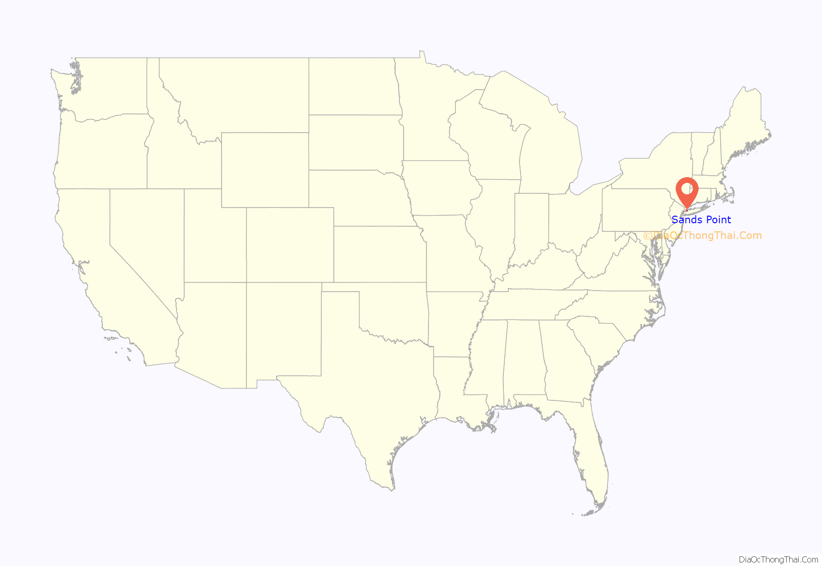
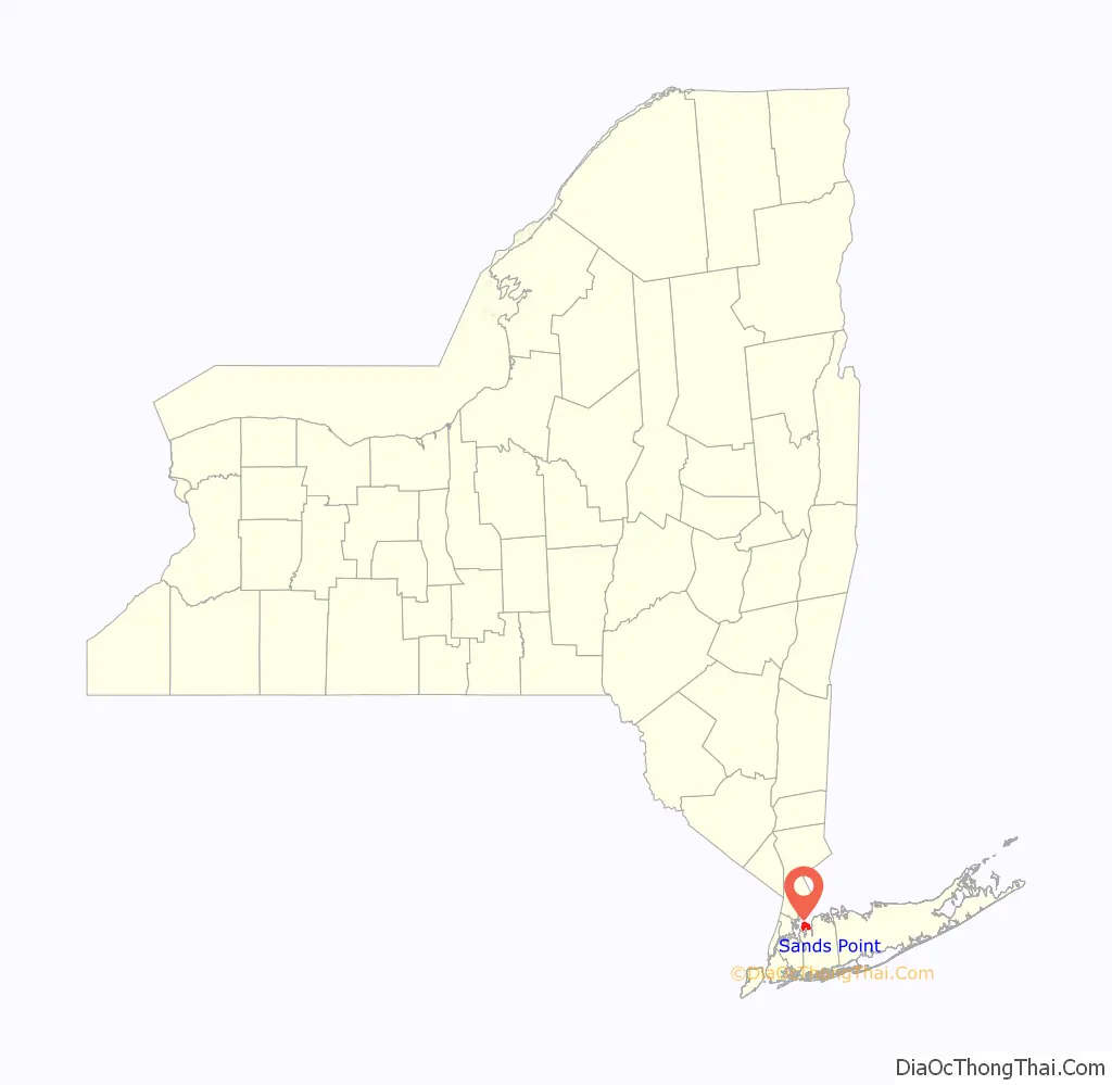
Sands Point location map. Where is Sands Point village?
History
The village was incorporated in 1910, and is named for the Sands family. In 1912, the village absorbed the communities of Barkers Point and Motts Point, and in 1932, it absorbed the Harbor Acreas community. It was originally owned by three families: the Sands, the Vanderbilts, and the Cornwells.
In 1917, Daniel Guggenheim bought his 216-acre (0.87 km) Hempstead House, formerly Castle Gould. His son Harry Guggenheim, founder of Newsday, later erected his estate “Falaise” nearby in 1923. Today, the estate belongs to the Friends of the Sands Point Preserve, which is a non-profit organization that maintains the property.
In the 1960s, under less strict building codes, many homes were built on 1-acre (4,000 m) parcels. Current zoning allows subdivisions of 2 acres (8,100 m) or more.
The Sands Family Cemetery was added to the National Register of Historic Places in 1992.
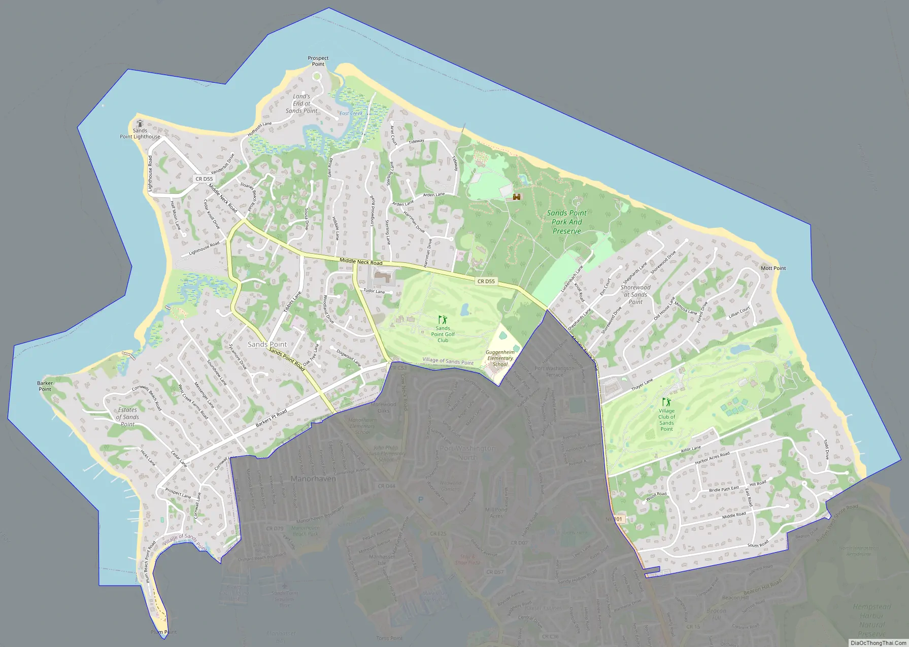
Sands Point Road Map
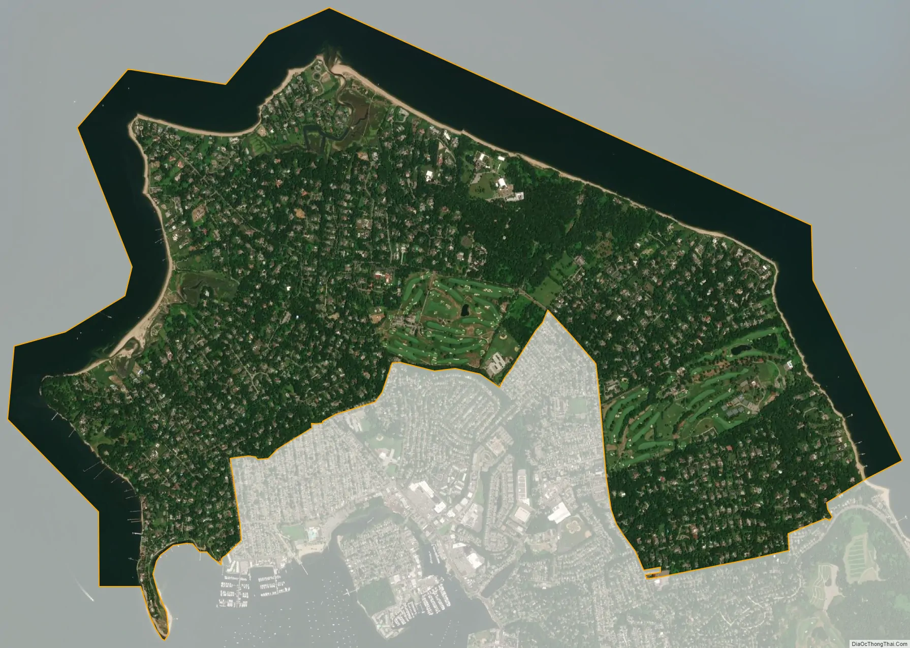
Sands Point city Satellite Map
Geography
According to the United States Census Bureau, the village has a total area of 5.6 square miles (15 km), of which 1.4 square miles (3.6 km), or 24.56%, is water.
Sands Point is bordered on three sides by water – the Long Island Sound to the north, Manhasset Bay to the west and Hempstead Harbor on the east. It shares land borders with the villages of Port Washington North and Manorhaven, as well as the unincorporated hamlet of Port Washington.
Sands Point is located at the tip of the Cow Neck Peninsula (also known as the Port Washington Peninsula or as Manhasset Neck), which is bordered by Manhasset Bay, Hempstead Bay, and Long Island Sound.
See also
Map of New York State and its subdivision:- Albany
- Allegany
- Bronx
- Broome
- Cattaraugus
- Cayuga
- Chautauqua
- Chemung
- Chenango
- Clinton
- Columbia
- Cortland
- Delaware
- Dutchess
- Erie
- Essex
- Franklin
- Fulton
- Genesee
- Greene
- Hamilton
- Herkimer
- Jefferson
- Kings
- Lake Ontario
- Lewis
- Livingston
- Madison
- Monroe
- Montgomery
- Nassau
- New York
- Niagara
- Oneida
- Onondaga
- Ontario
- Orange
- Orleans
- Oswego
- Otsego
- Putnam
- Queens
- Rensselaer
- Richmond
- Rockland
- Saint Lawrence
- Saratoga
- Schenectady
- Schoharie
- Schuyler
- Seneca
- Steuben
- Suffolk
- Sullivan
- Tioga
- Tompkins
- Ulster
- Warren
- Washington
- Wayne
- Westchester
- Wyoming
- Yates
- Alabama
- Alaska
- Arizona
- Arkansas
- California
- Colorado
- Connecticut
- Delaware
- District of Columbia
- Florida
- Georgia
- Hawaii
- Idaho
- Illinois
- Indiana
- Iowa
- Kansas
- Kentucky
- Louisiana
- Maine
- Maryland
- Massachusetts
- Michigan
- Minnesota
- Mississippi
- Missouri
- Montana
- Nebraska
- Nevada
- New Hampshire
- New Jersey
- New Mexico
- New York
- North Carolina
- North Dakota
- Ohio
- Oklahoma
- Oregon
- Pennsylvania
- Rhode Island
- South Carolina
- South Dakota
- Tennessee
- Texas
- Utah
- Vermont
- Virginia
- Washington
- West Virginia
- Wisconsin
- Wyoming


