Schaghticoke is a village in Rensselaer County, New York, United States. The population was 592 at the 2010 census.
During the colonial period of 1640-1750, this area was occupied by a mixed group of Native Americans — Mohicans, who were local, and remnants of numerous New England tribes who had migrated west away from European encroachment and warfare.
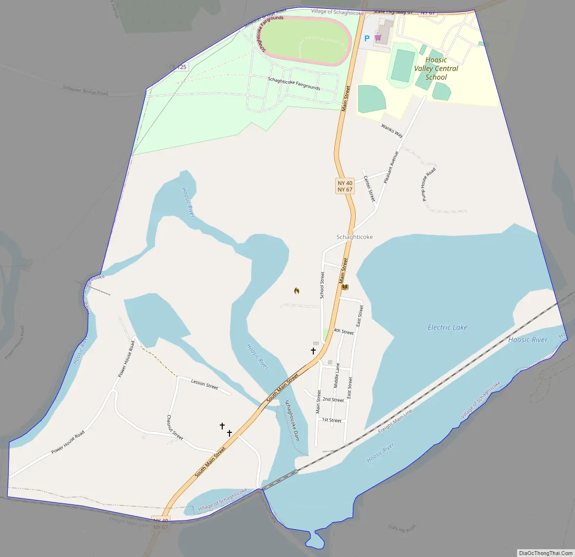
The Village of Schaghticoke is in the Town of Schaghticoke, near the eastern town line. Schaghticoke is west of the Village of Valley Falls.
| Name: | Schaghticoke village |
|---|---|
| LSAD Code: | 47 |
| LSAD Description: | village (suffix) |
| State: | New York |
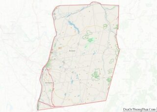
| County: | Rensselaer County |
| Elevation: | 358 ft (109 m) |
| Total Area: | 0.99 sq mi (2.57 km²) |
| Land Area: | 0.76 sq mi (1.96 km²) |
| Water Area: | 0.23 sq mi (0.61 km²) |
| Total Population: | 527 |
| Population Density: | 695.25/sq mi (268.40/km²) |
| ZIP code: | 12154 |
| Area code: | 518 |
| FIPS code: | 3665475 |
| GNISfeature ID: | 0964566 |
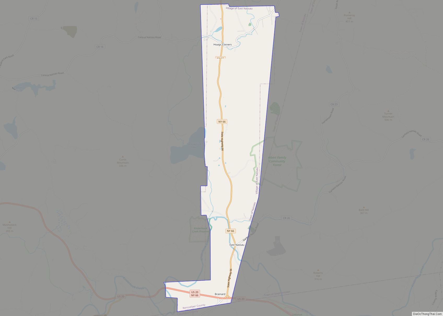
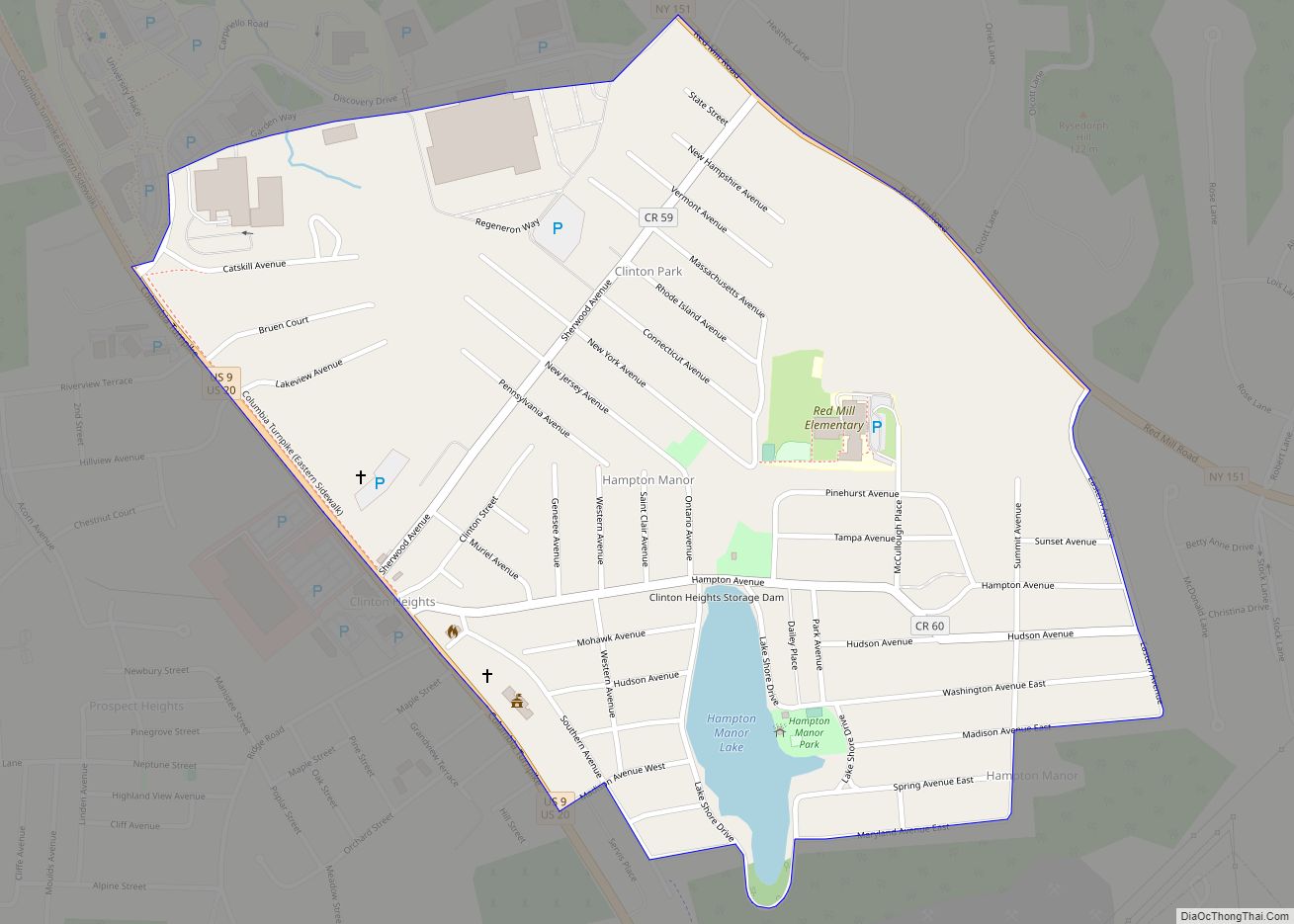
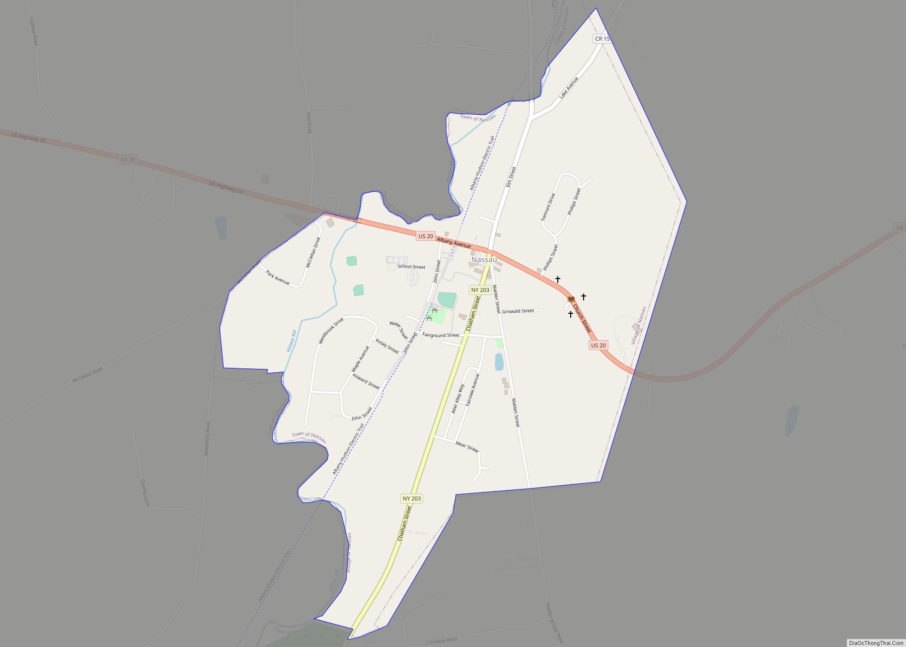
Online Interactive Map
Click on ![]() to view map in "full screen" mode.
to view map in "full screen" mode.
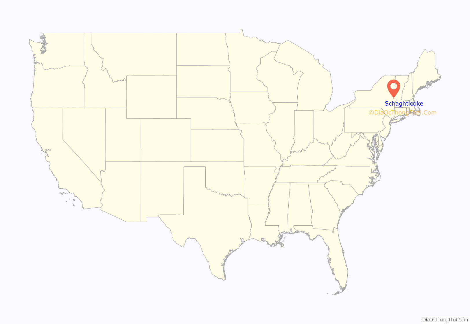
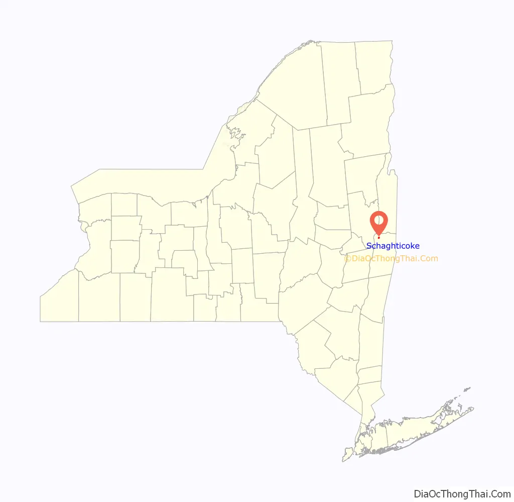
Schaghticoke location map. Where is Schaghticoke village?
History
In the colonial era, Native Americans at Schaghticoke included a mixed group of Mohicans, and members of several tribes from New England who had migrated away from Anglo-European settlement, including the Abenaki (inc. Sokoki and Pennacook), Cahoo, Wampanoag, Pocumtuc, Narraganset, Nipmuc and others. Their societies had been disrupted due to warfare with the English, such as King Philip’s War.
This mixed group, which was at times 1000 men strong, were the dominant Native Americans of the area from circa 1640 -1750. While they paid tribute to the Iroquois to the west, they controlled their own territory here. By 1750, the majority of the land had been sold to European settlers. When the last of the Schaghticoke group moved north to escape European encroachment, the Iroquois laid claim to what was left. In 1769 settlers paid 5000 pieces of Spanish Gold for the area of the Kaydeross Patent.
The European Americans named the village “Harts Falls.” It was incorporated under that name in 1867. It was reincorporated under the name of “Schaghticoke” in 1881.
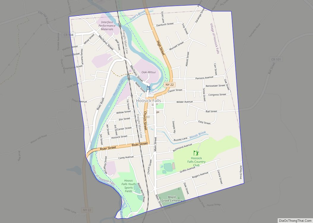
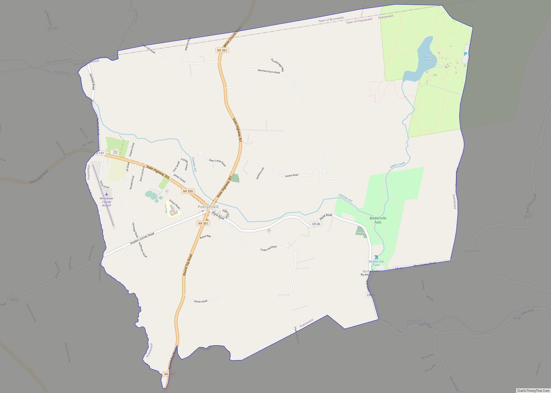
Schaghticoke Road Map
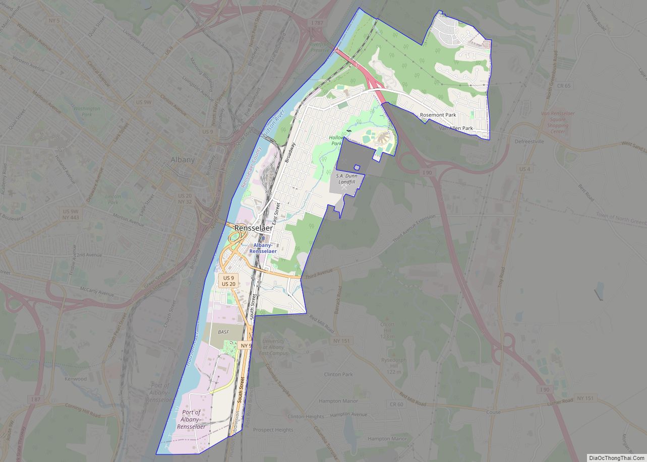
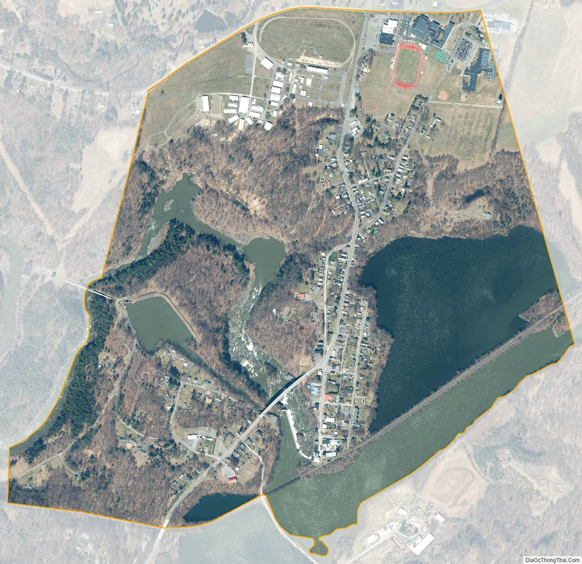
Schaghticoke city Satellite Map
Geography
Schaghticoke is located at 42°53′58″N 73°35′10″W / 42.89944°N 73.58611°W / 42.89944; -73.58611 (42.899551, -73.586128).
Schaghticoke is next to the Hoosic River.
According to the United States Census Bureau, the village has a total area of 0.9 square mile (2.3 km), of which 0.7 square mile (1.9 km) is land and 0.2 square mile (0.4 km) (18.89%) is water.
See also
Map of New York State and its subdivision:- Albany
- Allegany
- Bronx
- Broome
- Cattaraugus
- Cayuga
- Chautauqua
- Chemung
- Chenango
- Clinton
- Columbia
- Cortland
- Delaware
- Dutchess
- Erie
- Essex
- Franklin
- Fulton
- Genesee
- Greene
- Hamilton
- Herkimer
- Jefferson
- Kings
- Lake Ontario
- Lewis
- Livingston
- Madison
- Monroe
- Montgomery
- Nassau
- New York
- Niagara
- Oneida
- Onondaga
- Ontario
- Orange
- Orleans
- Oswego
- Otsego
- Putnam
- Queens
- Rensselaer
- Richmond
- Rockland
- Saint Lawrence
- Saratoga
- Schenectady
- Schoharie
- Schuyler
- Seneca
- Steuben
- Suffolk
- Sullivan
- Tioga
- Tompkins
- Ulster
- Warren
- Washington
- Wayne
- Westchester
- Wyoming
- Yates
- Alabama
- Alaska
- Arizona
- Arkansas
- California
- Colorado
- Connecticut
- Delaware
- District of Columbia
- Florida
- Georgia
- Hawaii
- Idaho
- Illinois
- Indiana
- Iowa
- Kansas
- Kentucky
- Louisiana
- Maine
- Maryland
- Massachusetts
- Michigan
- Minnesota
- Mississippi
- Missouri
- Montana
- Nebraska
- Nevada
- New Hampshire
- New Jersey
- New Mexico
- New York
- North Carolina
- North Dakota
- Ohio
- Oklahoma
- Oregon
- Pennsylvania
- Rhode Island
- South Carolina
- South Dakota
- Tennessee
- Texas
- Utah
- Vermont
- Virginia
- Washington
- West Virginia
- Wisconsin
- Wyoming