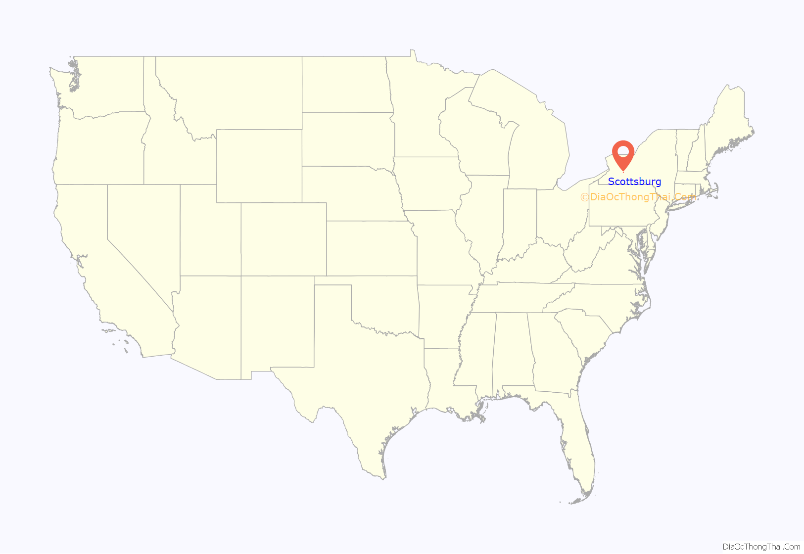
Scottsburg is a hamlet and census-designated place (CDP) in Livingston County, New York, United States. Its population was 117 as of the 2010 census. New York State Route 256 passes through the community.
| Name: | Scottsburg CDP |
|---|---|
| LSAD Code: | 57 |
| LSAD Description: | CDP (suffix) |
| State: | New York |
| County: | Livingston County |
| Elevation: | 925 ft (282 m) |
| Total Area: | 0.16 sq mi (0.43 km²) |
| Land Area: | 0.16 sq mi (0.43 km²) |
| Water Area: | 0.00 sq mi (0.00 km²) |
| Total Population: | 137 |
| Population Density: | 835.37/sq mi (321.58/km²) |
| ZIP code: | 14545 |
| Area code: | 585 |
| FIPS code: | 3665926 |
| GNISfeature ID: | 964694 |
Online Interactive Map
Click on ![]() to view map in "full screen" mode.
to view map in "full screen" mode.
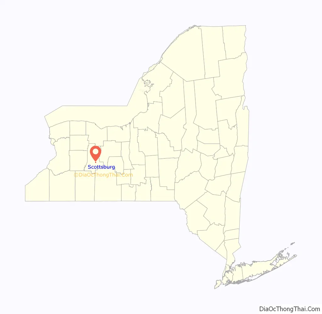
Scottsburg location map. Where is Scottsburg CDP?
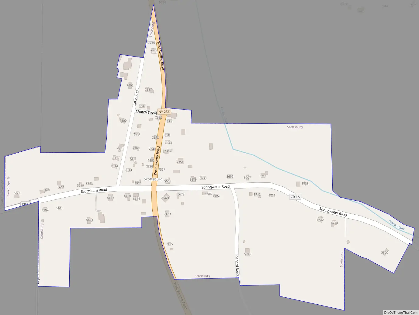
Scottsburg Road Map
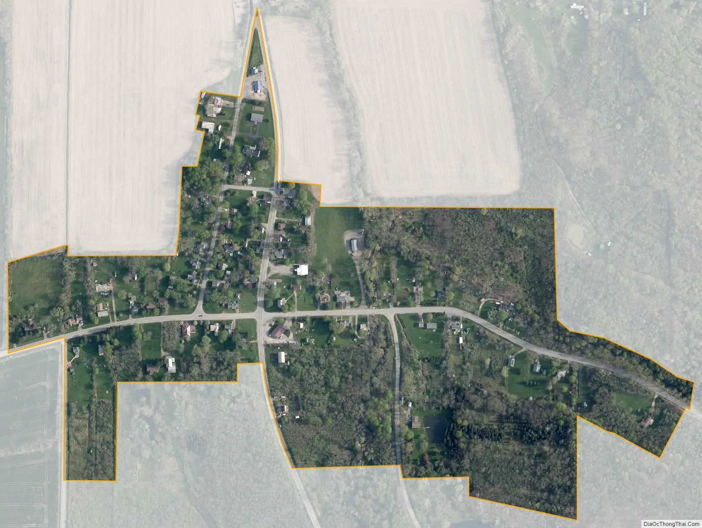
Scottsburg city Satellite Map
Geography
Scottsburg is in southern Livingston County, mainly in the northern part of the town of Sparta. A small portion of the CDP extends west into the town of Groveland. State Route 256 leads south 8 miles (13 km) to Dansville and north 12 miles (19 km) to Lakeville. Geneseo, the Livingston county seat, is 12 miles northwest of Scottsburg.
According to the U.S. Census Bureau, the Scottsburg CDP has an area of 0.16 square miles (0.41 km), all land. It sits in the valley of Conesus Inlet, which flows north 4 miles (6 km) to Conesus Lake, the westernmost of the Finger Lakes.
See also
Map of New York State and its subdivision:- Albany
- Allegany
- Bronx
- Broome
- Cattaraugus
- Cayuga
- Chautauqua
- Chemung
- Chenango
- Clinton
- Columbia
- Cortland
- Delaware
- Dutchess
- Erie
- Essex
- Franklin
- Fulton
- Genesee
- Greene
- Hamilton
- Herkimer
- Jefferson
- Kings
- Lake Ontario
- Lewis
- Livingston
- Madison
- Monroe
- Montgomery
- Nassau
- New York
- Niagara
- Oneida
- Onondaga
- Ontario
- Orange
- Orleans
- Oswego
- Otsego
- Putnam
- Queens
- Rensselaer
- Richmond
- Rockland
- Saint Lawrence
- Saratoga
- Schenectady
- Schoharie
- Schuyler
- Seneca
- Steuben
- Suffolk
- Sullivan
- Tioga
- Tompkins
- Ulster
- Warren
- Washington
- Wayne
- Westchester
- Wyoming
- Yates
- Alabama
- Alaska
- Arizona
- Arkansas
- California
- Colorado
- Connecticut
- Delaware
- District of Columbia
- Florida
- Georgia
- Hawaii
- Idaho
- Illinois
- Indiana
- Iowa
- Kansas
- Kentucky
- Louisiana
- Maine
- Maryland
- Massachusetts
- Michigan
- Minnesota
- Mississippi
- Missouri
- Montana
- Nebraska
- Nevada
- New Hampshire
- New Jersey
- New Mexico
- New York
- North Carolina
- North Dakota
- Ohio
- Oklahoma
- Oregon
- Pennsylvania
- Rhode Island
- South Carolina
- South Dakota
- Tennessee
- Texas
- Utah
- Vermont
- Virginia
- Washington
- West Virginia
- Wisconsin
- Wyoming


