Scottsville is a village in southwestern Monroe County, New York, United States, and is in the northeastern part of the Town of Wheatland. The population was 2,001 at the 2010 census. The village is named after an early settler, Isaac Scott. Most Scottsvillians work in and around the city of Rochester—the village of Scottsville is located about a ten-minute drive from the outer limits of the city.
| Name: | Scottsville village |
|---|---|
| LSAD Code: | 47 |
| LSAD Description: | village (suffix) |
| State: | New York |
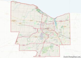
| County: | Monroe County |
| Elevation: | 537 ft (164 m) |
| Total Area: | 1.09 sq mi (2.82 km²) |
| Land Area: | 1.08 sq mi (2.80 km²) |
| Water Area: | 0.01 sq mi (0.01 km²) |
| Total Population: | 2,009 |
| Population Density: | 1,855.03/sq mi (716.38/km²) |
| ZIP code: | 14546 |
| FIPS code: | 3665959 |
| Website: | http://www.scottsvilleny.org/ |
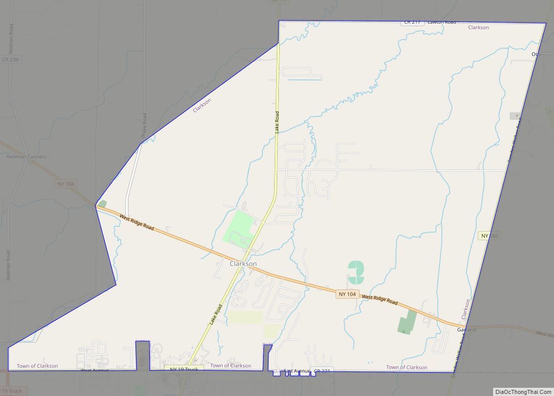
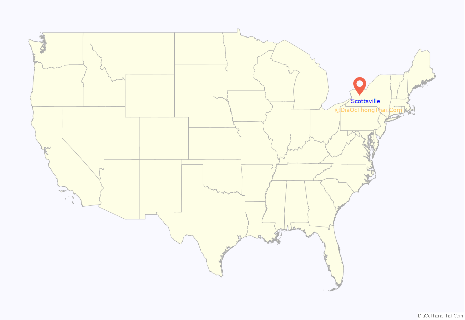
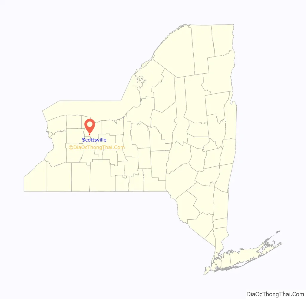
Online Interactive Map
Click on ![]() to view map in "full screen" mode.
to view map in "full screen" mode.
Scottsville location map. Where is Scottsville village?
History
Isaac Scott, one of the first settlers, arrived in 1790 and purchased 150 acres (0.61 km) of land from owners who lived in London and Great Britain. This land covered much of what is now the village of Scottsville. Scott’s log house was at the southwest corner of Main and Rochester Streets in the village.
The following sites are on the National Register of Historic Places: Isaac Cox Cobblestone Farmstead, Cox–Budlong House, Grace Church, David McVean House, Simeon Sage House, William Shirts House, Union Presbyterian Church, and Windom Hall. The Rochester Street Historic District is a national historic district listed in 1973.
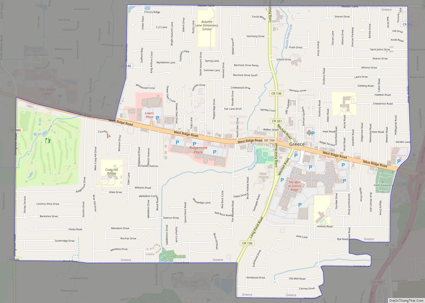
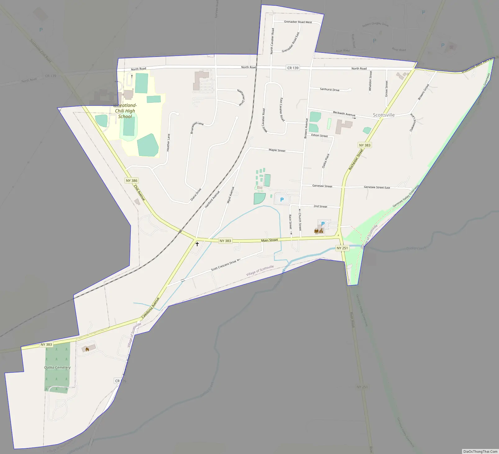
Scottsville Road Map
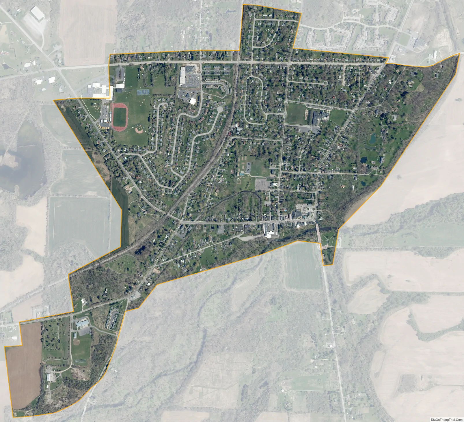
Scottsville city Satellite Map
Geography
Scottsville is located at 43°1′19″N 77°45′13″W / 43.02194°N 77.75361°W / 43.02194; -77.75361 (43.021813, -77.753545).
The village is located one mile (1.6 km) west of the junction of Oatka Creek and the Genesee River.
According to the United States Census Bureau, the village has a total area of 1.1 square miles (2.8 km), all land.
See also
Map of New York State and its subdivision:- Albany
- Allegany
- Bronx
- Broome
- Cattaraugus
- Cayuga
- Chautauqua
- Chemung
- Chenango
- Clinton
- Columbia
- Cortland
- Delaware
- Dutchess
- Erie
- Essex
- Franklin
- Fulton
- Genesee
- Greene
- Hamilton
- Herkimer
- Jefferson
- Kings
- Lake Ontario
- Lewis
- Livingston
- Madison
- Monroe
- Montgomery
- Nassau
- New York
- Niagara
- Oneida
- Onondaga
- Ontario
- Orange
- Orleans
- Oswego
- Otsego
- Putnam
- Queens
- Rensselaer
- Richmond
- Rockland
- Saint Lawrence
- Saratoga
- Schenectady
- Schoharie
- Schuyler
- Seneca
- Steuben
- Suffolk
- Sullivan
- Tioga
- Tompkins
- Ulster
- Warren
- Washington
- Wayne
- Westchester
- Wyoming
- Yates
- Alabama
- Alaska
- Arizona
- Arkansas
- California
- Colorado
- Connecticut
- Delaware
- District of Columbia
- Florida
- Georgia
- Hawaii
- Idaho
- Illinois
- Indiana
- Iowa
- Kansas
- Kentucky
- Louisiana
- Maine
- Maryland
- Massachusetts
- Michigan
- Minnesota
- Mississippi
- Missouri
- Montana
- Nebraska
- Nevada
- New Hampshire
- New Jersey
- New Mexico
- New York
- North Carolina
- North Dakota
- Ohio
- Oklahoma
- Oregon
- Pennsylvania
- Rhode Island
- South Carolina
- South Dakota
- Tennessee
- Texas
- Utah
- Vermont
- Virginia
- Washington
- West Virginia
- Wisconsin
- Wyoming