Seaford is a census-designated place in the town of Hempstead, Nassau County, on the South Shore of Long Island, in New York, United States. The population was 15,294 at the 2010 census.
| Name: | Seaford CDP |
|---|---|
| LSAD Code: | 57 |
| LSAD Description: | CDP (suffix) |
| State: | New York |
| County: | Nassau County |
| Elevation: | 10 ft (3 m) |
| Total Area: | 2.67 sq mi (6.90 km²) |
| Land Area: | 2.61 sq mi (6.76 km²) |
| Water Area: | 0.06 sq mi (0.15 km²) |
| Total Population: | 15,251 |
| Population Density: | 5,843.30/sq mi (2,256.31/km²) |
| ZIP code: | 11783 |
| Area code: | 516 |
| FIPS code: | 3666058 |
| GNISfeature ID: | 0964724 |
| Website: | www.seaford.li |
Online Interactive Map
Click on ![]() to view map in "full screen" mode.
to view map in "full screen" mode.
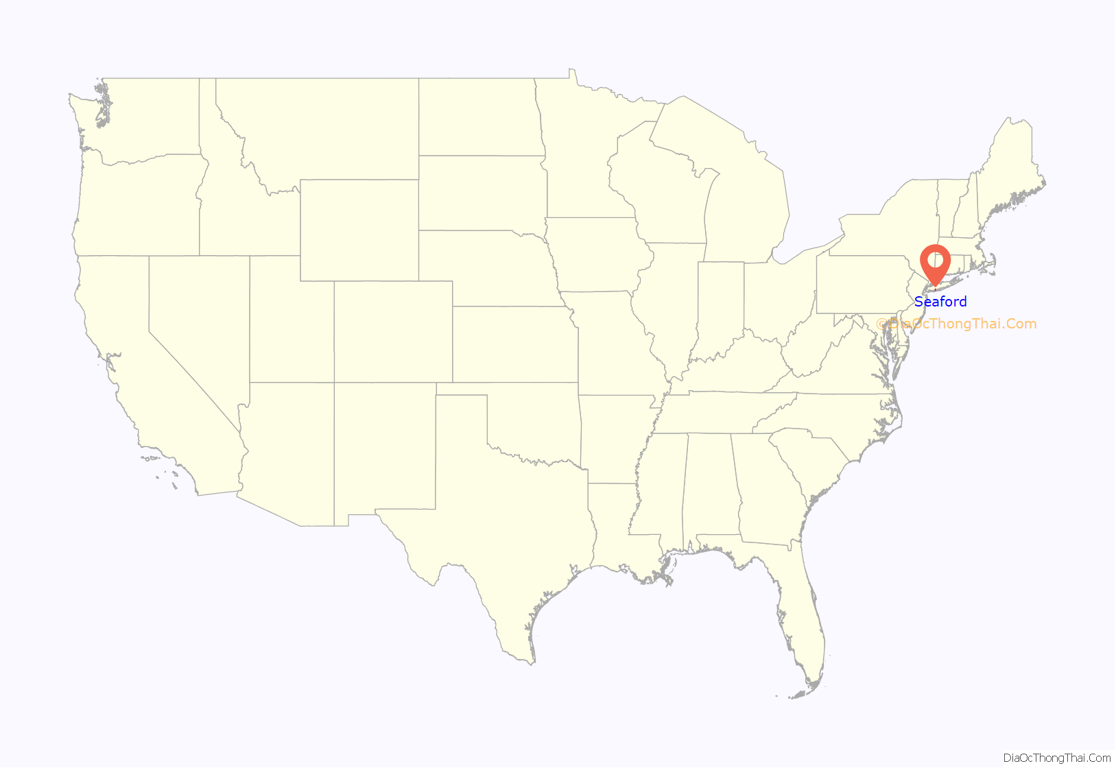
Seaford location map. Where is Seaford CDP?
History
The original settlers of Seaford were the Marsapeaques, a Native American Indian tribe. They called the area “Great Water Land.”
European settlement began with the arrival of Captain John Seaman, a native of Seaford, East Sussex, in England. After obtaining the patent for the area, Seaman oversaw the creation of Jerusalem South, the first European name given to the town which was to become Seaford. It was also widely referred to as Seaman’s Neck.
During the 19th century, as villages across Long Island started to grow (due to the creation of the Long Island Rail Road), the town of Jerusalem South seemed to be unaffected. In 1868 the town was renamed to the current name of “Seaford”, to honor Captain Seaman’s hometown in England. During this time, Seaford remained an agriculturally developed area. Over time, the town gained a post office, a church, and a one-room school, established in what would many years later become the first fire house and today serves as the home of the Seaford Historical Museum. Although the town itself was practically unchanged, many New York City residents had discovered that the area was attractive as a summer retreat.
With the creation of Sunrise Highway in 1929, Seaford started to see a large influx of inhabitants. Before 1929, Seaford had approximately 1,200 citizens. Within 25 years, this number would triple.
The Powell Hotel was torn down in 1977 to make room for the Long Island Savings Bank. Missing historical documents that would have saved the building by proving landmark status were said to only have been discovered in an eave during actual demolition.
Economy
Cash crops such as corn and wheat were some of the earliest farmed within the Seaford area. Due to easy access to various waterfronts, the attempts to fish and recover oysters were widely seen. At first, this was a hard task considering the layers of land beneath the water. In the mid-19th century, baymen from the Seaford area created a type of small, round-bottomed boat called the “Seaford skiff” that was used for fishing and market gunning (commercial waterfowl hunting).
With the popularity of hunting and fishing came the development of two hotels along Merrick Road: the Sportsman’s Hotel, where Verity Moving is now located along new Route 135, and the Powell Hotel at Jackson Avenue. Many celebrities came to these hotels to go duck hunting in South Oyster Bay, including New York Yankees Babe Ruth and Lou Gehrig, as well as brewery and longtime Yankees owner Jacob Ruppert. Local guides, including Nelson Verity and Sheriff Garner Paine (one of Long Island’s first black officials), would take them to the bay for sport.
Seaford Road Map
Seaford city Satellite Map
Geography
According to the United States Census Bureau, the CDP has a total area of 2.6 square miles (6.7 km), of which 2.6 square miles (6.7 km) is land and 0.38% is water.
See also
Map of New York State and its subdivision:- Albany
- Allegany
- Bronx
- Broome
- Cattaraugus
- Cayuga
- Chautauqua
- Chemung
- Chenango
- Clinton
- Columbia
- Cortland
- Delaware
- Dutchess
- Erie
- Essex
- Franklin
- Fulton
- Genesee
- Greene
- Hamilton
- Herkimer
- Jefferson
- Kings
- Lake Ontario
- Lewis
- Livingston
- Madison
- Monroe
- Montgomery
- Nassau
- New York
- Niagara
- Oneida
- Onondaga
- Ontario
- Orange
- Orleans
- Oswego
- Otsego
- Putnam
- Queens
- Rensselaer
- Richmond
- Rockland
- Saint Lawrence
- Saratoga
- Schenectady
- Schoharie
- Schuyler
- Seneca
- Steuben
- Suffolk
- Sullivan
- Tioga
- Tompkins
- Ulster
- Warren
- Washington
- Wayne
- Westchester
- Wyoming
- Yates
- Alabama
- Alaska
- Arizona
- Arkansas
- California
- Colorado
- Connecticut
- Delaware
- District of Columbia
- Florida
- Georgia
- Hawaii
- Idaho
- Illinois
- Indiana
- Iowa
- Kansas
- Kentucky
- Louisiana
- Maine
- Maryland
- Massachusetts
- Michigan
- Minnesota
- Mississippi
- Missouri
- Montana
- Nebraska
- Nevada
- New Hampshire
- New Jersey
- New Mexico
- New York
- North Carolina
- North Dakota
- Ohio
- Oklahoma
- Oregon
- Pennsylvania
- Rhode Island
- South Carolina
- South Dakota
- Tennessee
- Texas
- Utah
- Vermont
- Virginia
- Washington
- West Virginia
- Wisconsin
- Wyoming


