Shelter Island is a hamlet and census-designated place (CDP) within the Town of Shelter Island in Suffolk County, New York, United States. The population was 1,333 at the 2010 census. The village of Dering Harbor and the CDP of Shelter Island Heights make up the rest of the town.
The community of Shelter Island is at the eastern end of Long Island and is reachable only by ferry. Many of the properties are owned by wealthy New York City residents who use the island as a weekend retreat. Shelter Island is characterized by a quieter and less social lifestyle than that of the nearby Hamptons.
| Name: | Shelter Island CDP |
|---|---|
| LSAD Code: | 57 |
| LSAD Description: | CDP (suffix) |
| State: | New York |
| County: | Suffolk County |
| Elevation: | 52 ft (16 m) |
| Total Area: | 12.80 sq mi (33.14 km²) |
| Land Area: | 6.55 sq mi (16.97 km²) |
| Water Area: | 6.24 sq mi (16.17 km²) |
| Total Population: | 1,602 |
| Population Density: | 244.43/sq mi (94.38/km²) |
| ZIP code: | 11964 |
| Area code: | 631 |
| FIPS code: | 3666828 |
| GNISfeature ID: | 0965036 |
Online Interactive Map
Click on ![]() to view map in "full screen" mode.
to view map in "full screen" mode.
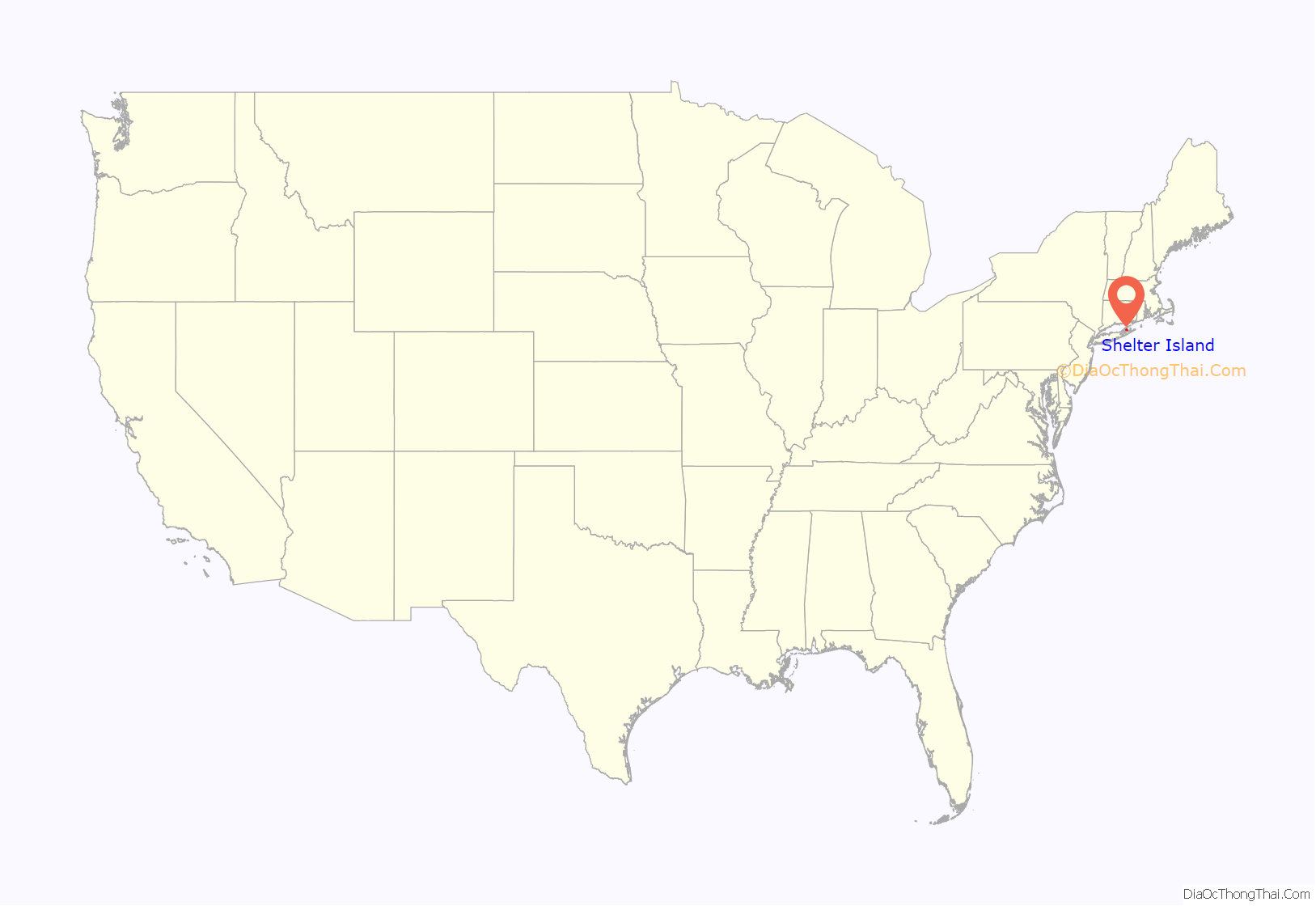
Shelter Island location map. Where is Shelter Island CDP?
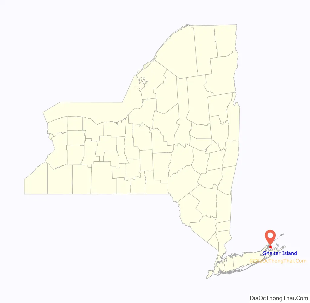
Shelter Island Road Map
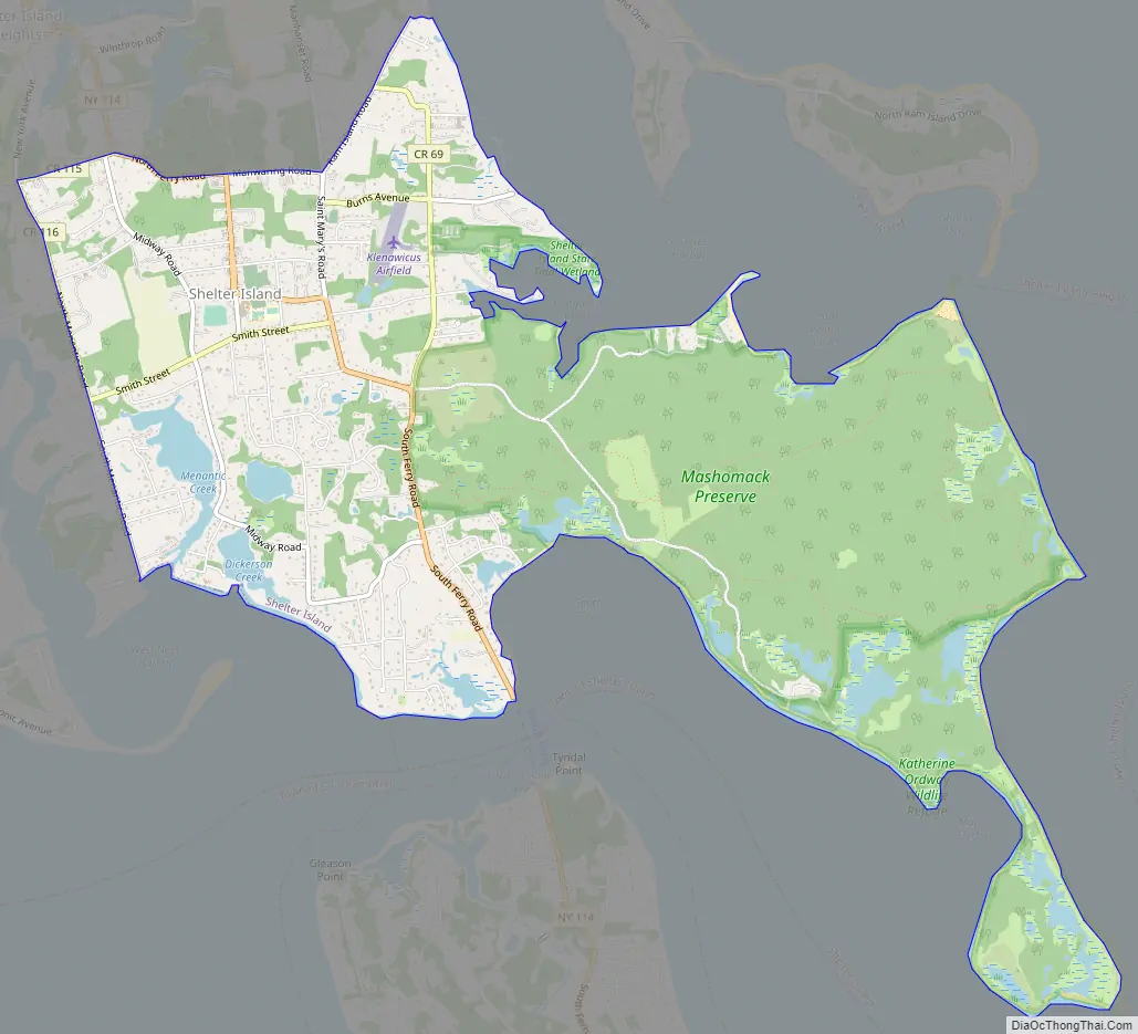
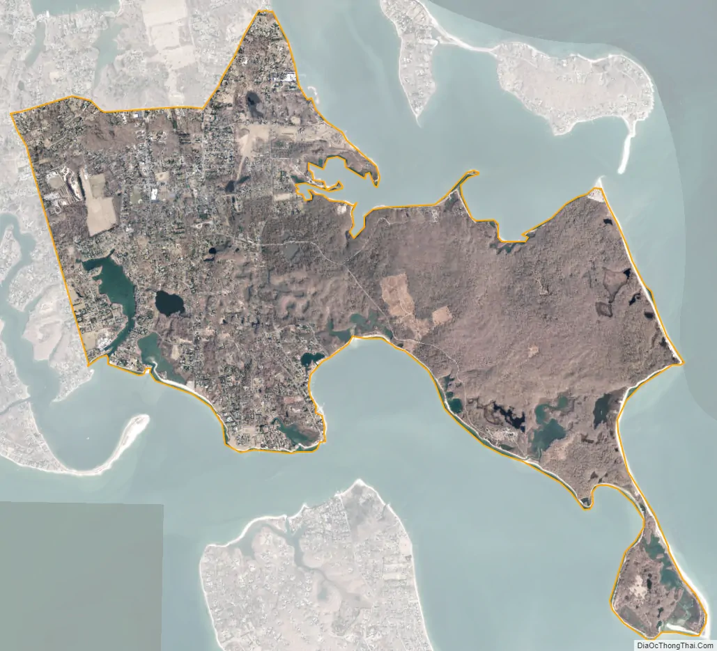
Shelter Island city Satellite Map
Geography
Shelter Island is located at 41°3′43″N 72°19′40″W / 41.06194°N 72.32778°W / 41.06194; -72.32778 (41.062171, -72.328003).
According to the United States Census Bureau, the CDP has a total area of 6.7 square miles (17.3 km), of which 6.5 square miles (16.9 km) is land and 0.15 square miles (0.4 km), or 2.12%, is water.
See also
Map of New York State and its subdivision:- Albany
- Allegany
- Bronx
- Broome
- Cattaraugus
- Cayuga
- Chautauqua
- Chemung
- Chenango
- Clinton
- Columbia
- Cortland
- Delaware
- Dutchess
- Erie
- Essex
- Franklin
- Fulton
- Genesee
- Greene
- Hamilton
- Herkimer
- Jefferson
- Kings
- Lake Ontario
- Lewis
- Livingston
- Madison
- Monroe
- Montgomery
- Nassau
- New York
- Niagara
- Oneida
- Onondaga
- Ontario
- Orange
- Orleans
- Oswego
- Otsego
- Putnam
- Queens
- Rensselaer
- Richmond
- Rockland
- Saint Lawrence
- Saratoga
- Schenectady
- Schoharie
- Schuyler
- Seneca
- Steuben
- Suffolk
- Sullivan
- Tioga
- Tompkins
- Ulster
- Warren
- Washington
- Wayne
- Westchester
- Wyoming
- Yates
- Alabama
- Alaska
- Arizona
- Arkansas
- California
- Colorado
- Connecticut
- Delaware
- District of Columbia
- Florida
- Georgia
- Hawaii
- Idaho
- Illinois
- Indiana
- Iowa
- Kansas
- Kentucky
- Louisiana
- Maine
- Maryland
- Massachusetts
- Michigan
- Minnesota
- Mississippi
- Missouri
- Montana
- Nebraska
- Nevada
- New Hampshire
- New Jersey
- New Mexico
- New York
- North Carolina
- North Dakota
- Ohio
- Oklahoma
- Oregon
- Pennsylvania
- Rhode Island
- South Carolina
- South Dakota
- Tennessee
- Texas
- Utah
- Vermont
- Virginia
- Washington
- West Virginia
- Wisconsin
- Wyoming


