South Floral Park (formerly known as Jamaica Square) is a village in the Town of Hempstead in Nassau County, on Long Island, in New York, United States. The population was 1,741 at the 2020 census.
At 0.096 square miles (0.25 km), the Incorporated Village of South Floral Park is the smallest village in the State of New York by total area.
| Name: | South Floral Park village |
|---|---|
| LSAD Code: | 47 |
| LSAD Description: | village (suffix) |
| State: | New York |
| County: | Nassau County |
| Incorporated: | November 1925 |
| Elevation: | 69 ft (21 m) |
| Total Area: | 0.10 sq mi (0.25 km²) |
| Land Area: | 0.10 sq mi (0.25 km²) |
| Water Area: | 0.00 sq mi (0.00 km²) |
| Total Population: | 1,741 |
| Population Density: | 17,948.45/sq mi (6,910.87/km²) |
| ZIP code: | 11001 |
| Area code: | 516 |
| FIPS code: | 3669023 |
| GNISfeature ID: | 0965746 |
| Website: | www.southfloralpark.org |
Online Interactive Map
Click on ![]() to view map in "full screen" mode.
to view map in "full screen" mode.
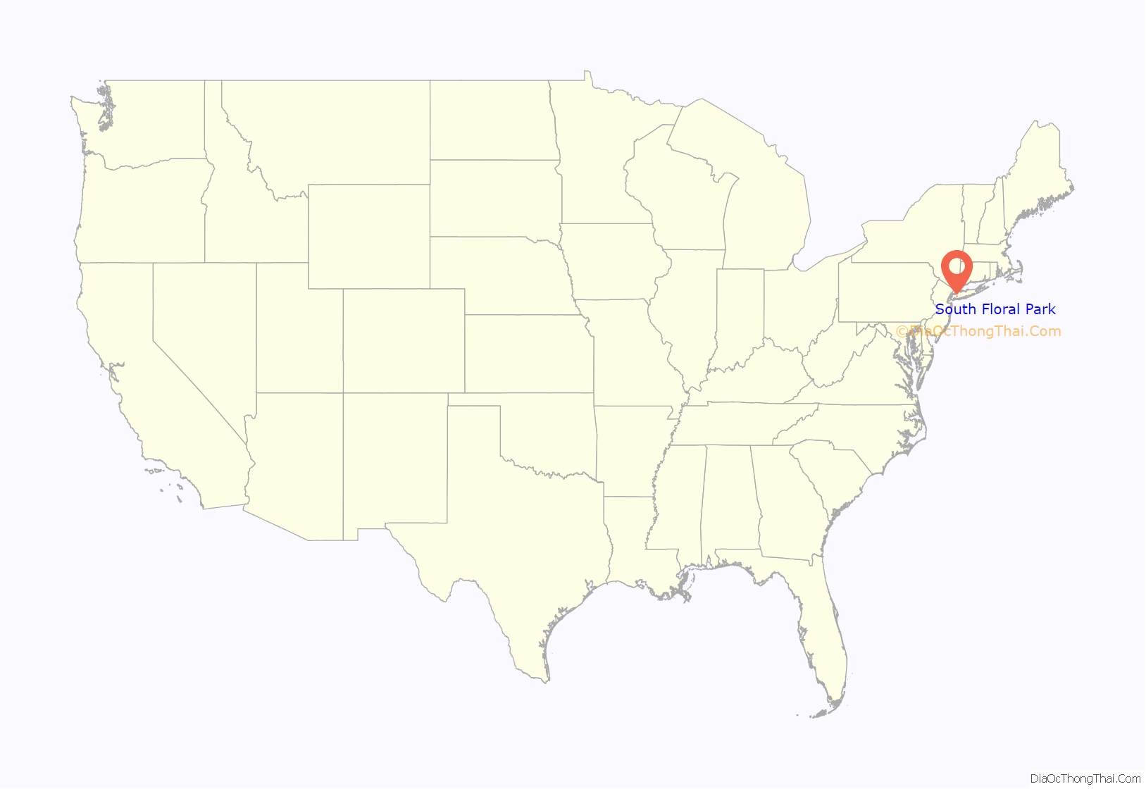
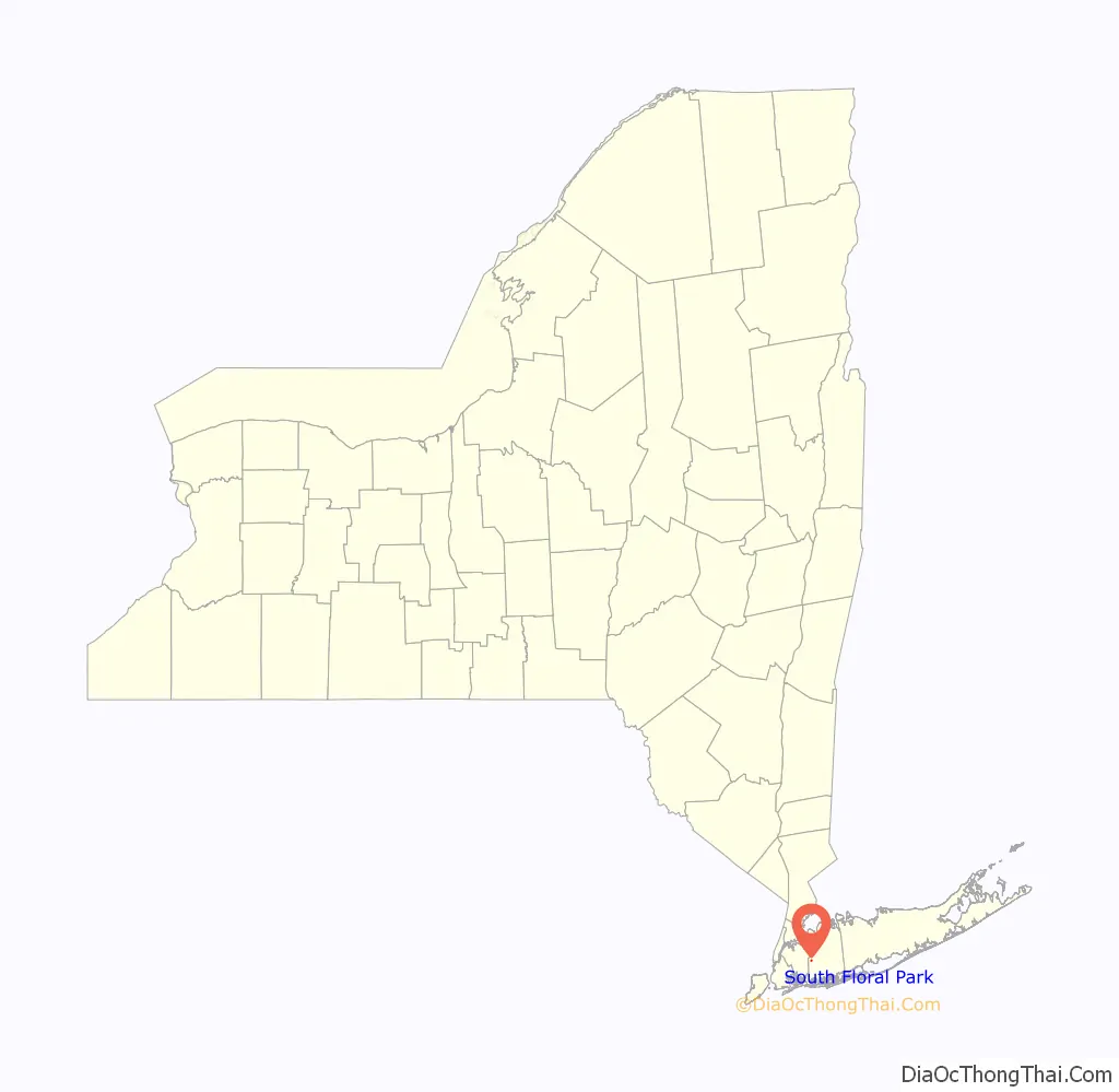
South Floral Park location map. Where is South Floral Park village?
History
The Village of South Floral Park was incorporated in November 1925 as the Village of Jamaica Square. This name had been used since the area was first developed ca. 1905; the name was originally chosen so as to reflect the fact that it was down the road from Jamaica, Queens and next to Franklin Square. However its name was changed to South Floral Park in 1931 due to confusion with said neighborhood in Queens; the new name was chosen based on the fact that the village is located immediately south of and adjacent to Floral Park.
Residents decided to incorporate their community because they felt that the Town of Hempstead was unable to adequately fulfill the needs of their community, and believed that a more localized government would be able to govern it better.
South Floral Park was one of the earliest racially integrated villages on Long Island.
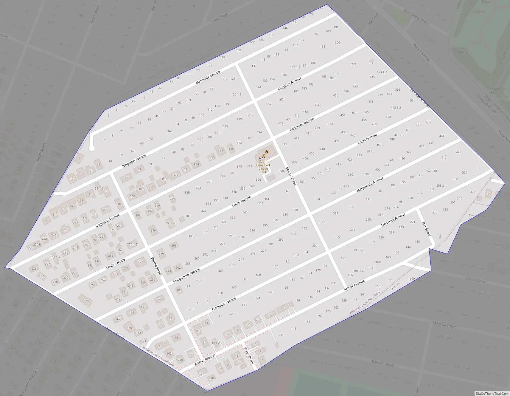
South Floral Park Road Map
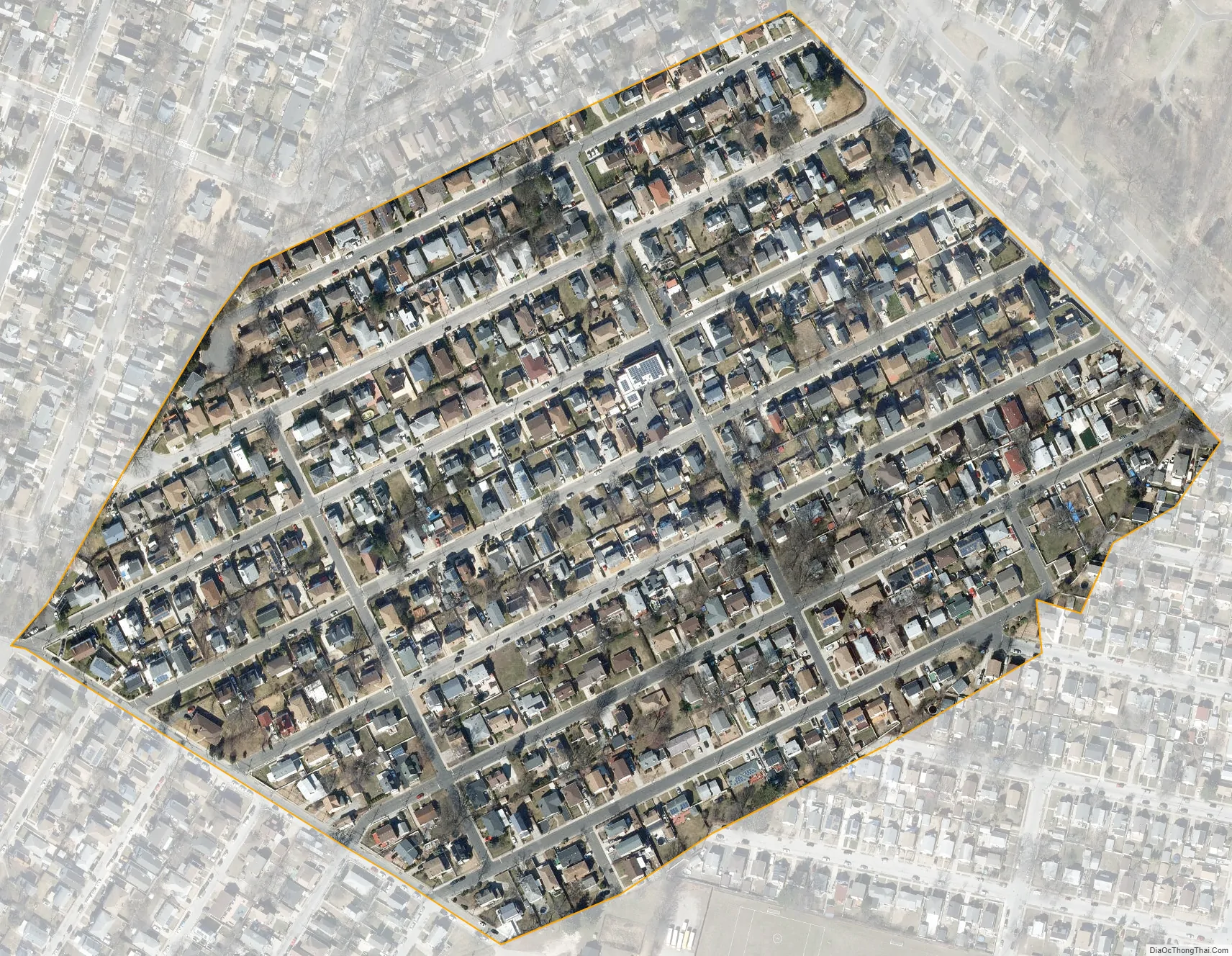
South Floral Park city Satellite Map
Geography
According to the United States Census Bureau, the village has a total area of 0.096 square miles (0.25 km), all land.
South Floral Park is the smallest village in the State of New York by total area.
Climate
The Village of South Floral Park features a humid subtropical climate (Cfa) under the Köppen climate classification,. As such, the village experiences hot, humid summers and cold winters, and experiences precipitation throughout the entirety of the year.
See also
Map of New York State and its subdivision:- Albany
- Allegany
- Bronx
- Broome
- Cattaraugus
- Cayuga
- Chautauqua
- Chemung
- Chenango
- Clinton
- Columbia
- Cortland
- Delaware
- Dutchess
- Erie
- Essex
- Franklin
- Fulton
- Genesee
- Greene
- Hamilton
- Herkimer
- Jefferson
- Kings
- Lake Ontario
- Lewis
- Livingston
- Madison
- Monroe
- Montgomery
- Nassau
- New York
- Niagara
- Oneida
- Onondaga
- Ontario
- Orange
- Orleans
- Oswego
- Otsego
- Putnam
- Queens
- Rensselaer
- Richmond
- Rockland
- Saint Lawrence
- Saratoga
- Schenectady
- Schoharie
- Schuyler
- Seneca
- Steuben
- Suffolk
- Sullivan
- Tioga
- Tompkins
- Ulster
- Warren
- Washington
- Wayne
- Westchester
- Wyoming
- Yates
- Alabama
- Alaska
- Arizona
- Arkansas
- California
- Colorado
- Connecticut
- Delaware
- District of Columbia
- Florida
- Georgia
- Hawaii
- Idaho
- Illinois
- Indiana
- Iowa
- Kansas
- Kentucky
- Louisiana
- Maine
- Maryland
- Massachusetts
- Michigan
- Minnesota
- Mississippi
- Missouri
- Montana
- Nebraska
- Nevada
- New Hampshire
- New Jersey
- New Mexico
- New York
- North Carolina
- North Dakota
- Ohio
- Oklahoma
- Oregon
- Pennsylvania
- Rhode Island
- South Carolina
- South Dakota
- Tennessee
- Texas
- Utah
- Vermont
- Virginia
- Washington
- West Virginia
- Wisconsin
- Wyoming


