South Huntington is an affluent hamlet and census-designated place (CDP) within the Town of Huntington in Suffolk County, on Long Island, in New York, United States. The population was 9,422 at the 2010 census. Residents have a Huntington Station postal address.
South Huntington is the birthplace of Walt Whitman, and the Walt Whitman Shops Mall is nearby. It is also home to St. Anthony’s High School, Walt Whitman High School and the South Huntington Public Library. The Walt Whitman Shops were previously known as the Walt Whitman Shopping Center. The department store chain Abraham & Straus purchased 45 acres in South Huntington in 1956 to build a shopping mall and parking lot. An A & S store would be built as the centerpiece of the mall. The groundbreaking ceremony for the shopping center took place on April 20, 1961. The first store to open, on March 28, 1962, was Abraham & Straus, followed by Macy’s on September 18, 1962. The official opening for the entire shopping center was in November 1962. It was the first enclosed shopping center on Long Island. The mall had 75 stores, lighted fountains, and a reflecting pool. The parking lot had spaces for 5,000 cars.
Renovations at the mall took place in 1998, including changes to the main concourse and an elevated parking deck. Also in this time period, three new department stores were added. Bloomingdale’s opened on August 5, 1998 followed by Lord & Taylor on November 11, 1998. Saks Fifth Avenue opened its doors on March 11, 1999. A second renovation was completed in November 2013. This included adding 70,000 square feet to the facility as well as doing exterior remodeling. A statue of Walt Whitman was also added.
Walt Whitman Shops is currently owned by the Simon Property Group.
| Name: | South Huntington CDP |
|---|---|
| LSAD Code: | 57 |
| LSAD Description: | CDP (suffix) |
| State: | New York |
| County: | Suffolk County |
| Elevation: | 207 ft (63 m) |
| Total Area: | 3.42 sq mi (8.85 km²) |
| Land Area: | 3.42 sq mi (8.85 km²) |
| Water Area: | 0.00 sq mi (0.00 km²) |
| Total Population: | 9,561 |
| Population Density: | 2,799.71/sq mi (1,080.90/km²) |
| ZIP code: | 11746 |
| Area code: | 631 |
| FIPS code: | 3669254 |
| GNISfeature ID: | 0965788 |
Online Interactive Map
Click on ![]() to view map in "full screen" mode.
to view map in "full screen" mode.
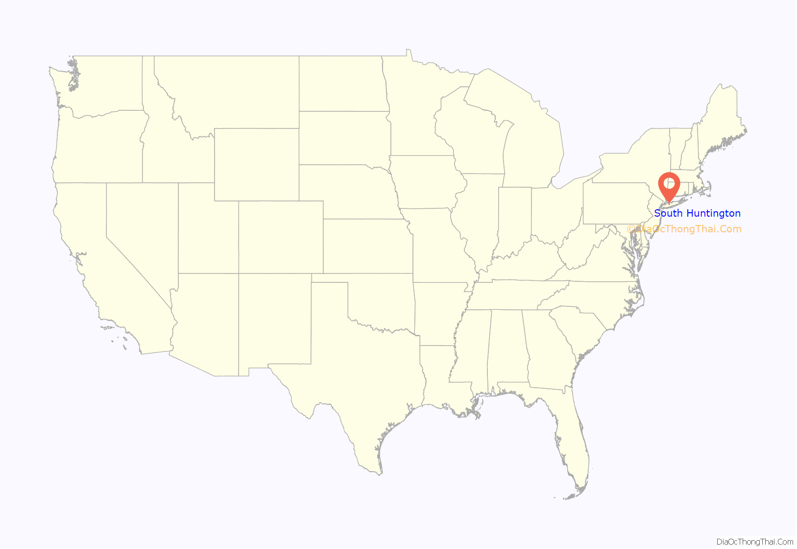
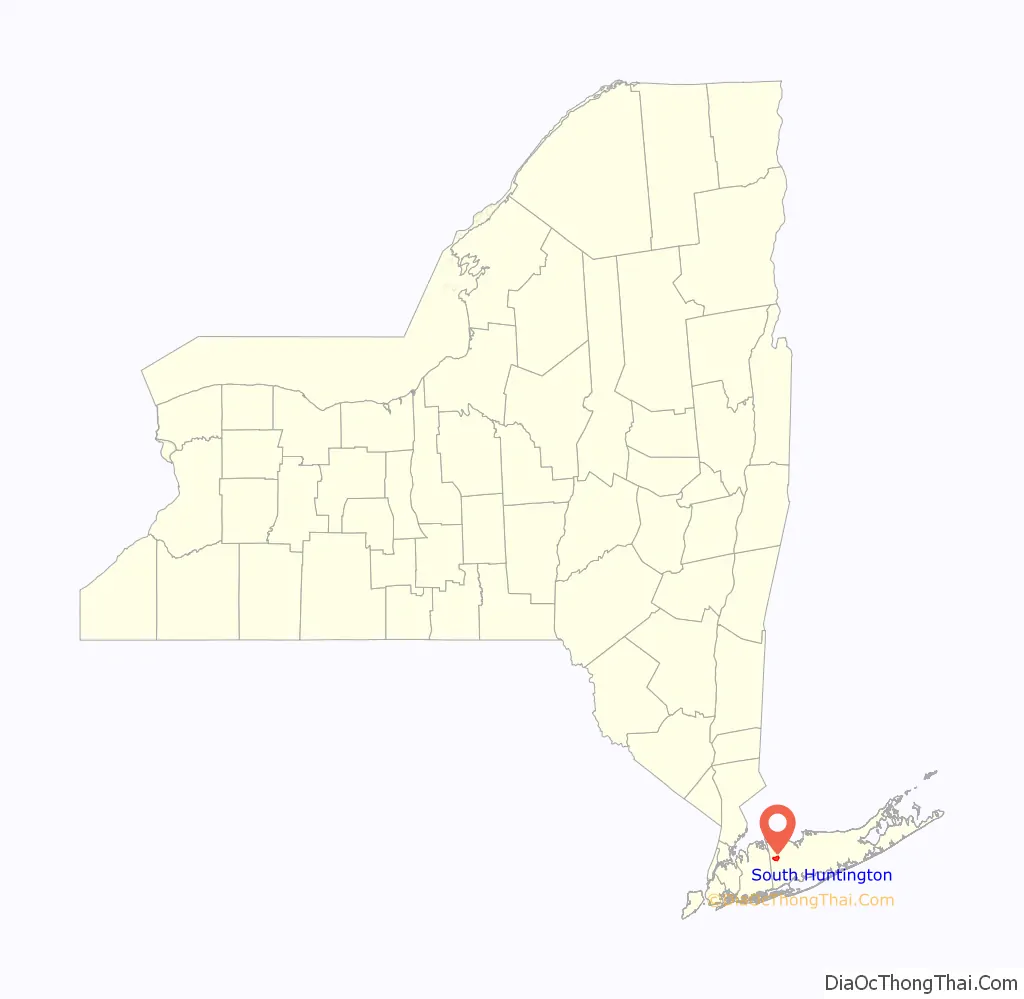
South Huntington location map. Where is South Huntington CDP?
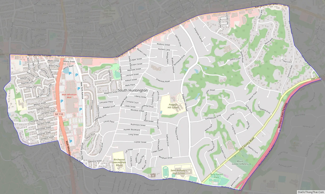
South Huntington Road Map
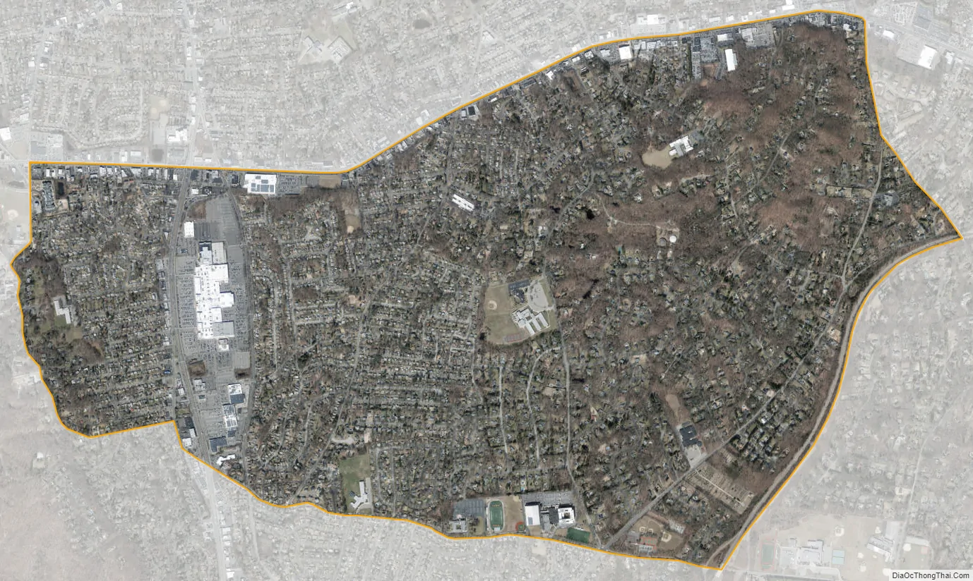
South Huntington city Satellite Map
Geography
According to the United States Census Bureau, the CDP has a total area of 3.4 square miles (8.8 km), all land.
See also
Map of New York State and its subdivision:- Albany
- Allegany
- Bronx
- Broome
- Cattaraugus
- Cayuga
- Chautauqua
- Chemung
- Chenango
- Clinton
- Columbia
- Cortland
- Delaware
- Dutchess
- Erie
- Essex
- Franklin
- Fulton
- Genesee
- Greene
- Hamilton
- Herkimer
- Jefferson
- Kings
- Lake Ontario
- Lewis
- Livingston
- Madison
- Monroe
- Montgomery
- Nassau
- New York
- Niagara
- Oneida
- Onondaga
- Ontario
- Orange
- Orleans
- Oswego
- Otsego
- Putnam
- Queens
- Rensselaer
- Richmond
- Rockland
- Saint Lawrence
- Saratoga
- Schenectady
- Schoharie
- Schuyler
- Seneca
- Steuben
- Suffolk
- Sullivan
- Tioga
- Tompkins
- Ulster
- Warren
- Washington
- Wayne
- Westchester
- Wyoming
- Yates
- Alabama
- Alaska
- Arizona
- Arkansas
- California
- Colorado
- Connecticut
- Delaware
- District of Columbia
- Florida
- Georgia
- Hawaii
- Idaho
- Illinois
- Indiana
- Iowa
- Kansas
- Kentucky
- Louisiana
- Maine
- Maryland
- Massachusetts
- Michigan
- Minnesota
- Mississippi
- Missouri
- Montana
- Nebraska
- Nevada
- New Hampshire
- New Jersey
- New Mexico
- New York
- North Carolina
- North Dakota
- Ohio
- Oklahoma
- Oregon
- Pennsylvania
- Rhode Island
- South Carolina
- South Dakota
- Tennessee
- Texas
- Utah
- Vermont
- Virginia
- Washington
- West Virginia
- Wisconsin
- Wyoming


