Spencerport is a village in Monroe County, New York, United States, and a suburb of Rochester. The population count was 3,601 at the 2010 census.
The Village of Spencerport is within the Town of Ogden and is a village on the Erie Canal.
Spencerport Airpark (D91) is a grass strip general aviation airport south of the village.
| Name: | Spencerport village |
|---|---|
| LSAD Code: | 47 |
| LSAD Description: | village (suffix) |
| State: | New York |
| County: | Monroe County |
| Incorporated: | 1867 |
| Elevation: | 550 ft (170 m) |
| Total Area: | 1.41 sq mi (3.66 km²) |
| Land Area: | 1.38 sq mi (3.58 km²) |
| Water Area: | 0.03 sq mi (0.08 km²) |
| Total Population: | 3,685 |
| Population Density: | 2,666.43/sq mi (1,029.33/km²) |
| ZIP code: | 14559 |
| Area code: | 585 |
| FIPS code: | 3670189 |
| Website: | http://www.vil.spencerport.ny.us/ |
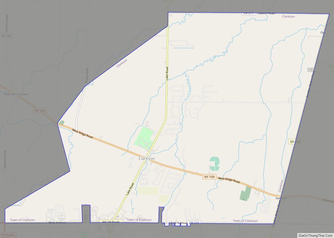
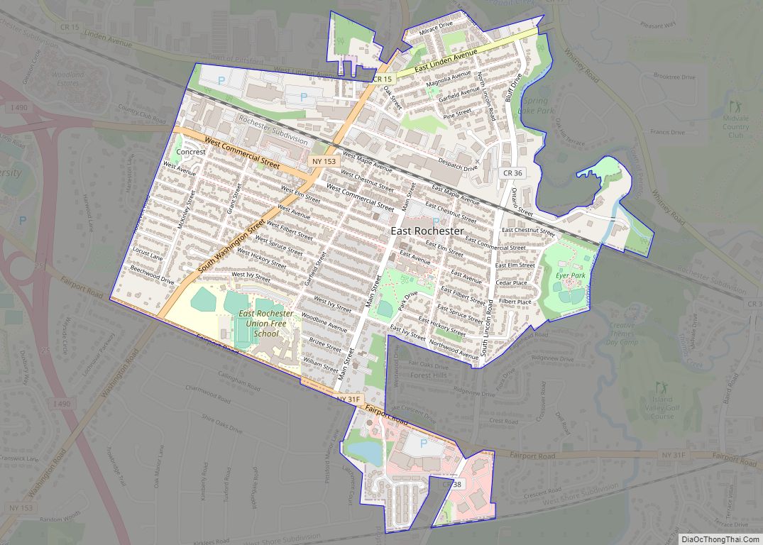
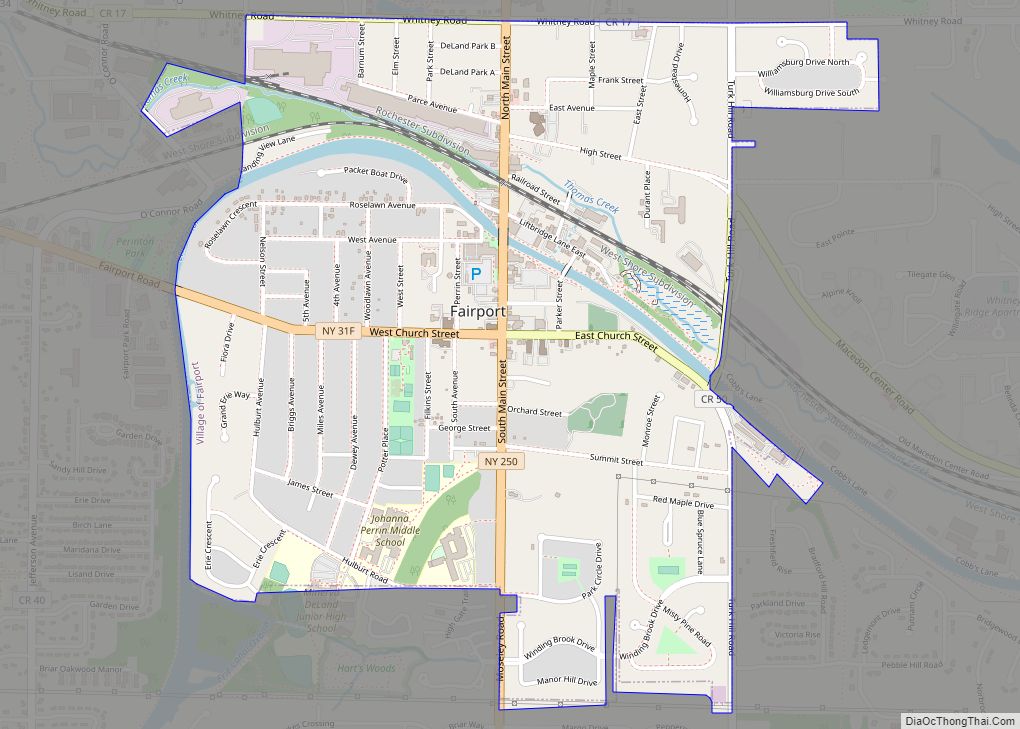
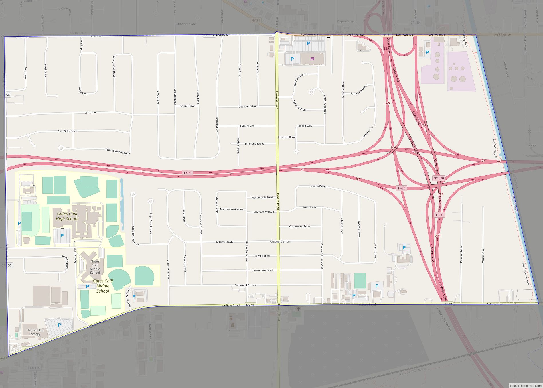
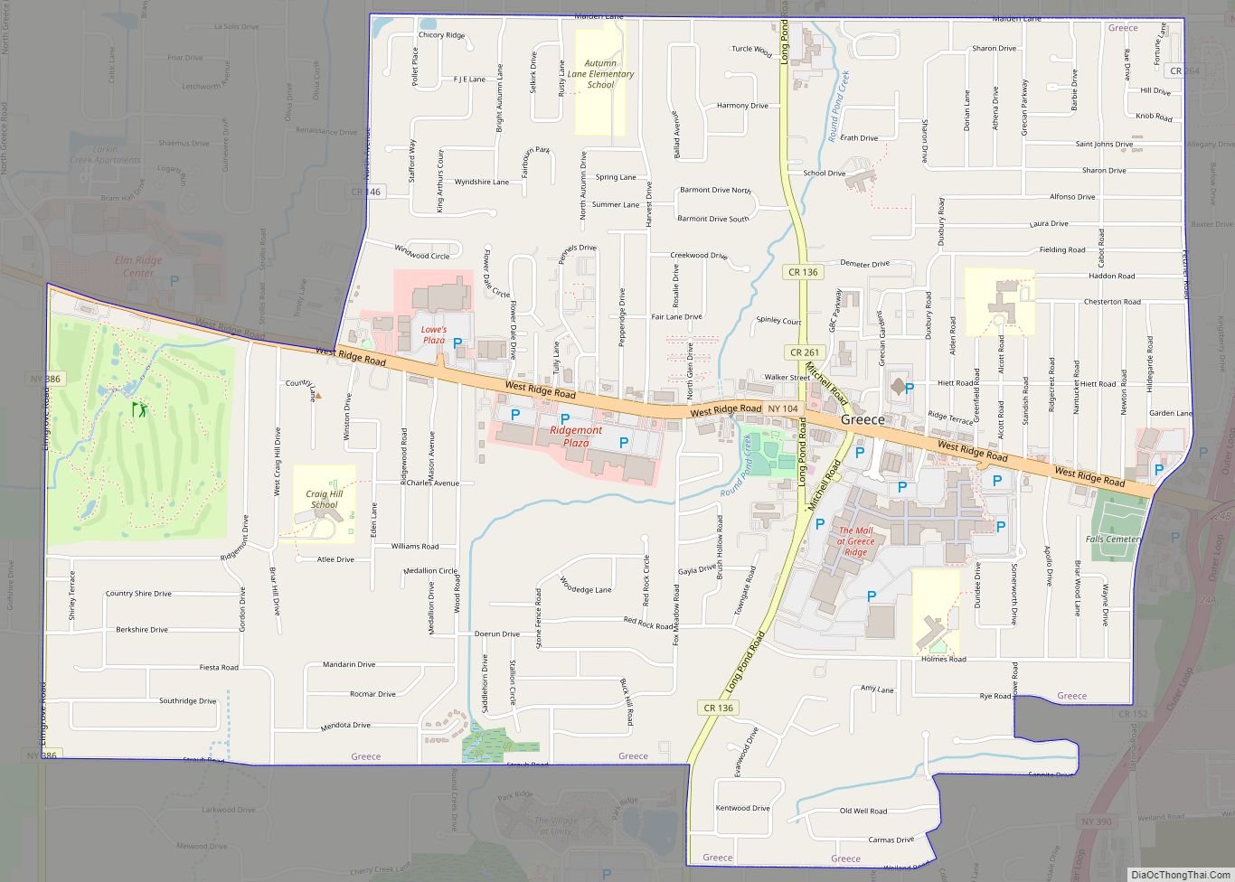
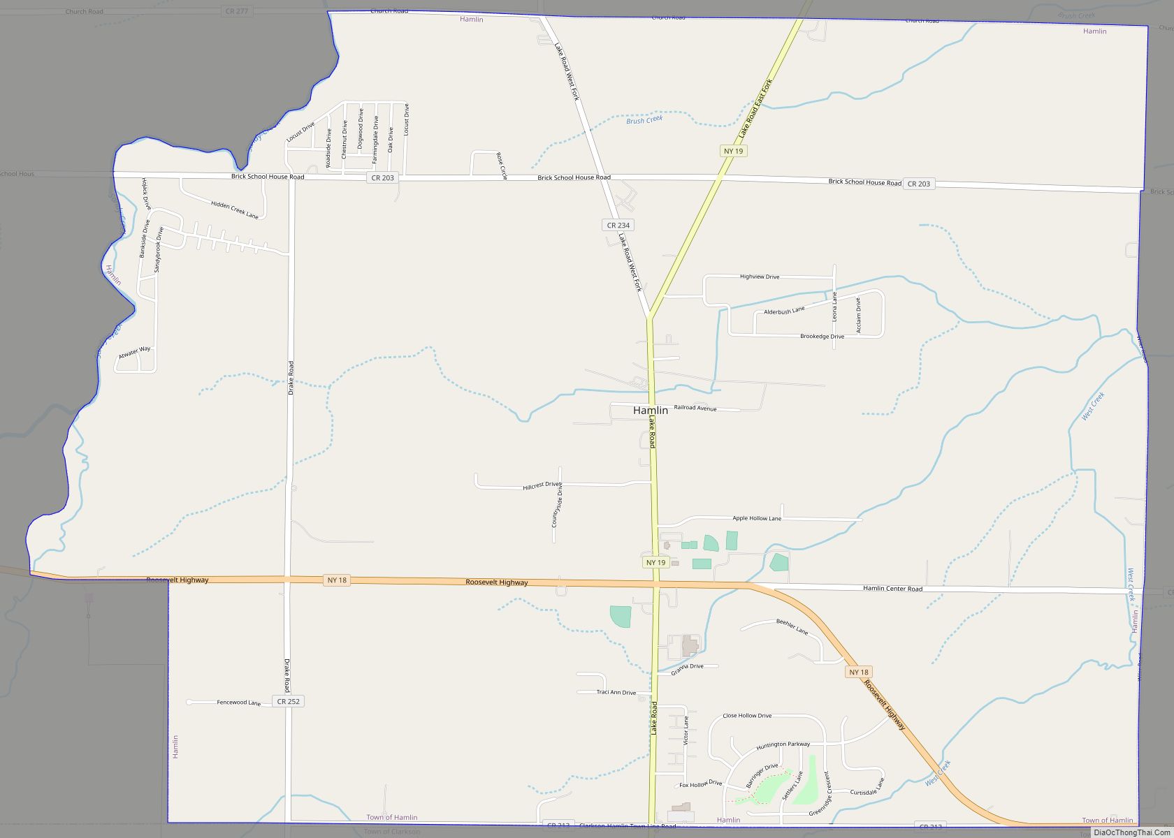
Online Interactive Map
Click on ![]() to view map in "full screen" mode.
to view map in "full screen" mode.
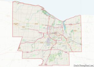
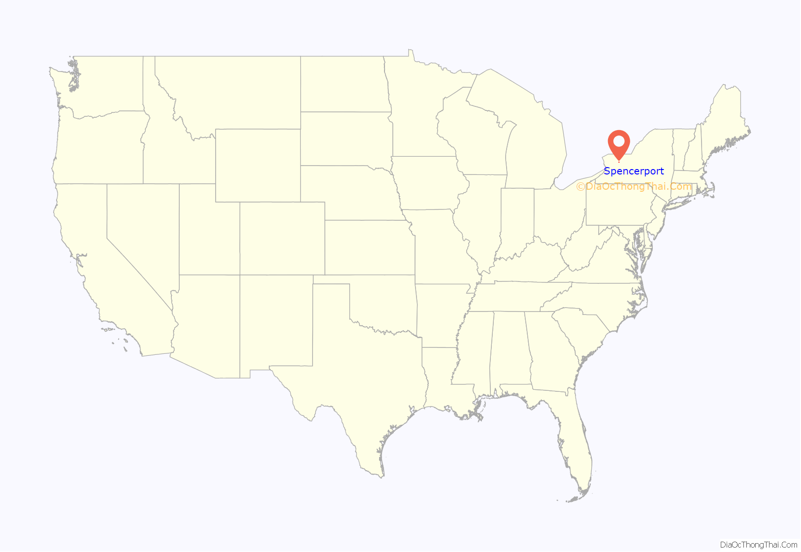
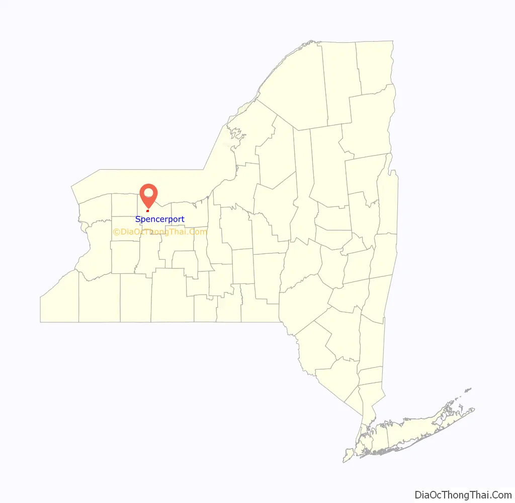
Spencerport location map. Where is Spencerport village?
History
In 1804, Daniel Spencer bought a farm about 1+1⁄2 miles (2.4 km) north of Ogden Center. When the Erie Canal opened, the farm, through which the canal passed at the Canawaugus Road, was sold to become the first village lots. As a port on the canal, the area was called Spencer’s Basin and later changed to Spencerport.
On April 22, 1867 the New York State Legislature incorporated Spencerport as a Village and William Slayton was elected as its first mayor.
The Spencerport Methodist Church was listed on the National Register of Historic Places in 2008.
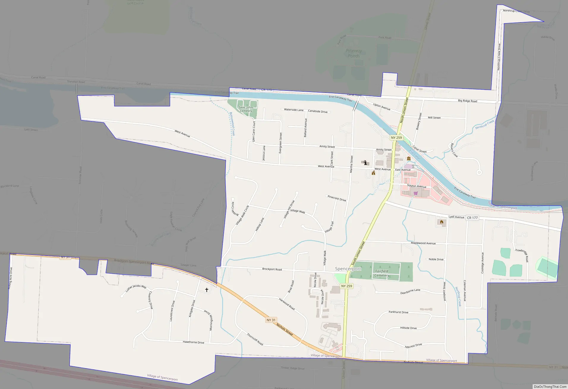
Spencerport Road Map
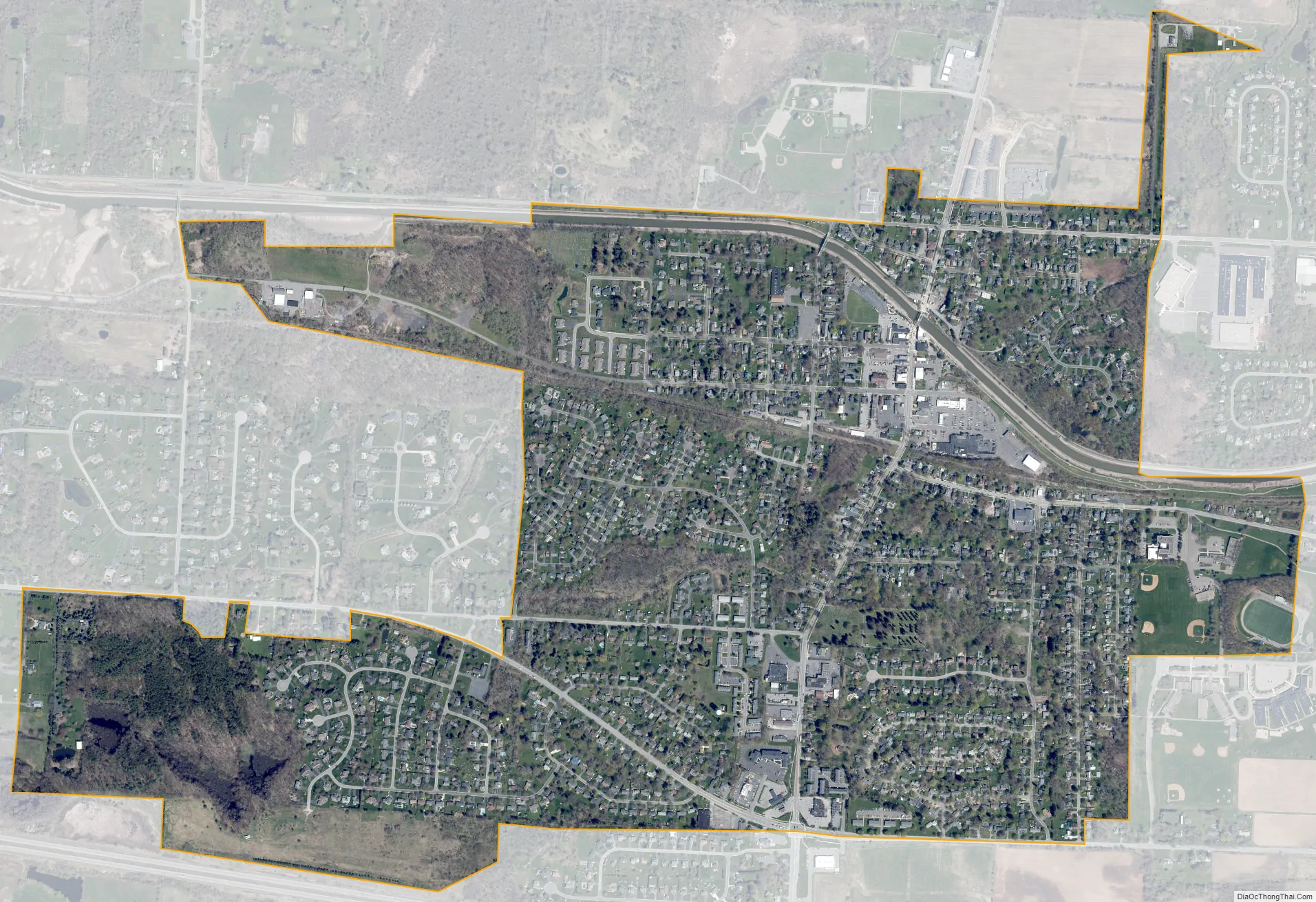
Spencerport city Satellite Map
Geography
Spencerport is located at 43°11′22″N 77°48′15″W / 43.18944°N 77.80417°W / 43.18944; -77.80417 (43.189312, -77.804132).
According to the United States Census Bureau, the village has a total area of 1.4 square miles (3.6 km), of which 1.4 square miles (3.6 km) is land and 0.04 square miles (0.10 km) (2.14%) is water.
See also
Map of New York State and its subdivision:- Albany
- Allegany
- Bronx
- Broome
- Cattaraugus
- Cayuga
- Chautauqua
- Chemung
- Chenango
- Clinton
- Columbia
- Cortland
- Delaware
- Dutchess
- Erie
- Essex
- Franklin
- Fulton
- Genesee
- Greene
- Hamilton
- Herkimer
- Jefferson
- Kings
- Lake Ontario
- Lewis
- Livingston
- Madison
- Monroe
- Montgomery
- Nassau
- New York
- Niagara
- Oneida
- Onondaga
- Ontario
- Orange
- Orleans
- Oswego
- Otsego
- Putnam
- Queens
- Rensselaer
- Richmond
- Rockland
- Saint Lawrence
- Saratoga
- Schenectady
- Schoharie
- Schuyler
- Seneca
- Steuben
- Suffolk
- Sullivan
- Tioga
- Tompkins
- Ulster
- Warren
- Washington
- Wayne
- Westchester
- Wyoming
- Yates
- Alabama
- Alaska
- Arizona
- Arkansas
- California
- Colorado
- Connecticut
- Delaware
- District of Columbia
- Florida
- Georgia
- Hawaii
- Idaho
- Illinois
- Indiana
- Iowa
- Kansas
- Kentucky
- Louisiana
- Maine
- Maryland
- Massachusetts
- Michigan
- Minnesota
- Mississippi
- Missouri
- Montana
- Nebraska
- Nevada
- New Hampshire
- New Jersey
- New Mexico
- New York
- North Carolina
- North Dakota
- Ohio
- Oklahoma
- Oregon
- Pennsylvania
- Rhode Island
- South Carolina
- South Dakota
- Tennessee
- Texas
- Utah
- Vermont
- Virginia
- Washington
- West Virginia
- Wisconsin
- Wyoming