Springs is a census-designated place (CDP) roughly corresponding to the hamlet by the same name in the Town of East Hampton in Suffolk County, New York, United States, on the South Fork of Long Island. As of the 2010 United States Census, the CDP population was 6,592.
| Name: | Springs CDP |
|---|---|
| LSAD Code: | 57 |
| LSAD Description: | CDP (suffix) |
| State: | New York |
| County: | Suffolk County |
| Elevation: | 10 ft (3 m) |
| Total Area: | 12.17 sq mi (31.52 km²) |
| Land Area: | 8.48 sq mi (21.96 km²) |
| Water Area: | 3.69 sq mi (9.57 km²) |
| Total Population: | 8,086 |
| Population Density: | 953.76/sq mi (368.24/km²) |
| ZIP code: | 11937 |
| Area code: | 631 and 934 |
| FIPS code: | 3670387 |
| GNISfeature ID: | 0966103 |
Online Interactive Map
Click on ![]() to view map in "full screen" mode.
to view map in "full screen" mode.
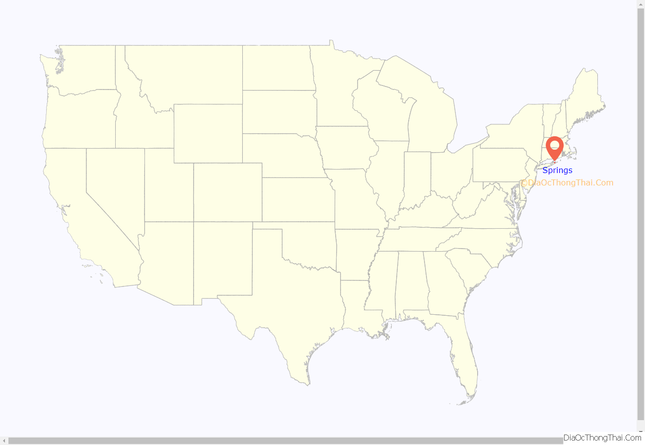
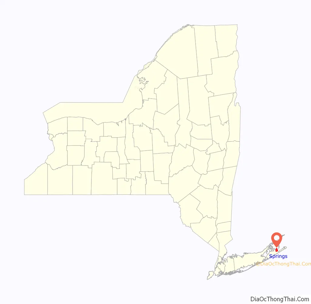
Springs location map. Where is Springs CDP?
History
Springs is known in art circles as the cradle of the abstract expressionist movement. Artists such as Jackson Pollock, Willem de Kooning and John Ferren worked there. Writers such as Kurt Vonnegut, Joseph Heller, Philip Roth, Nora Ephron, and John Steinbeck have lived in or near Springs. Artists and writers were attracted to the area due to its rural nature, despite being within 100 miles (160 km) of New York City, and because housing prices “north of the Montauk Highway” on the bay side of the East Hampton peninsula have traditionally been lower than those closer to the Atlantic Ocean. Traditionally, locals are referred to as “Bonackers” which comes from Accabonac Harbor in Springs. East Hampton High School has adopted the Bonacker name for its sports teams.
The main roads connecting Springs to East Hampton are Springs-Fireplace Road and Three Mile Harbor Road. Jackson Pollock died in a car crash on Springs-Fireplace Road in 1956. Pollock and his wife Lee Krasner are buried in Green River Cemetery. Pollock’s grave is marked by a large glacial erratic stone on top of a hill, Krasner’s by a small stone lower on the hill. Since Pollock’s burial, numerous other writers and artists have been buried in the cemetery, joining the locals.
The Pollock-Krasner House and Studio on Springs-Fireplace Road is owned by Stony Brook University and is open for tours by appointment. It includes an external studio shed where dried paint from Pollock’s projects is splattered on the floor and evokes Pollock’s most famous works. The neighborhood around it is an East Hampton historic district. Springs-Fireplace Road gets its name from fireplaces at its terminus that was used to signal the residents of Gardiners Island that supplies were ready to be picked up.
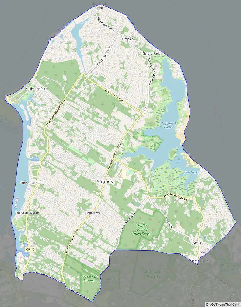
Springs Road Map
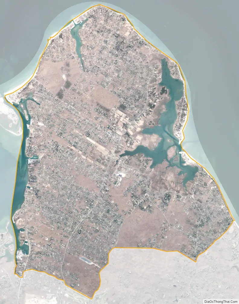
Springs city Satellite Map
Geography
According to the United States Census Bureau, the hamlet has a total area of 9.2 square miles (24 km), of which 8.5 square miles (22 km) is land and 0.8 square miles (2.1 km), or 8.19%, is water.
See also
Map of New York State and its subdivision:- Albany
- Allegany
- Bronx
- Broome
- Cattaraugus
- Cayuga
- Chautauqua
- Chemung
- Chenango
- Clinton
- Columbia
- Cortland
- Delaware
- Dutchess
- Erie
- Essex
- Franklin
- Fulton
- Genesee
- Greene
- Hamilton
- Herkimer
- Jefferson
- Kings
- Lake Ontario
- Lewis
- Livingston
- Madison
- Monroe
- Montgomery
- Nassau
- New York
- Niagara
- Oneida
- Onondaga
- Ontario
- Orange
- Orleans
- Oswego
- Otsego
- Putnam
- Queens
- Rensselaer
- Richmond
- Rockland
- Saint Lawrence
- Saratoga
- Schenectady
- Schoharie
- Schuyler
- Seneca
- Steuben
- Suffolk
- Sullivan
- Tioga
- Tompkins
- Ulster
- Warren
- Washington
- Wayne
- Westchester
- Wyoming
- Yates
- Alabama
- Alaska
- Arizona
- Arkansas
- California
- Colorado
- Connecticut
- Delaware
- District of Columbia
- Florida
- Georgia
- Hawaii
- Idaho
- Illinois
- Indiana
- Iowa
- Kansas
- Kentucky
- Louisiana
- Maine
- Maryland
- Massachusetts
- Michigan
- Minnesota
- Mississippi
- Missouri
- Montana
- Nebraska
- Nevada
- New Hampshire
- New Jersey
- New Mexico
- New York
- North Carolina
- North Dakota
- Ohio
- Oklahoma
- Oregon
- Pennsylvania
- Rhode Island
- South Carolina
- South Dakota
- Tennessee
- Texas
- Utah
- Vermont
- Virginia
- Washington
- West Virginia
- Wisconsin
- Wyoming


