St. James is a hamlet and census-designated place (CDP) in Suffolk County, New York, United States. The population of the CDP was 13,487 at the 2020 census. St. James is part of the Town of Smithtown and is located on the North Shore of Long Island. The ZIP code is 11780.
| Name: | St. James CDP |
|---|---|
| LSAD Code: | 57 |
| LSAD Description: | CDP (suffix) |
| State: | New York |
| County: | Suffolk County |
| Elevation: | 151 ft (46 m) |
| Total Area: | 4.57 sq mi (11.82 km²) |
| Land Area: | 4.56 sq mi (11.82 km²) |
| Water Area: | 0.00 sq mi (0.00 km²) |
| Total Population: | 13,487 |
| Population Density: | 2,955.08/sq mi (1,141.00/km²) |
| FIPS code: | 3664584 |
| GNISfeature ID: | 0963553 |
Online Interactive Map
Click on ![]() to view map in "full screen" mode.
to view map in "full screen" mode.
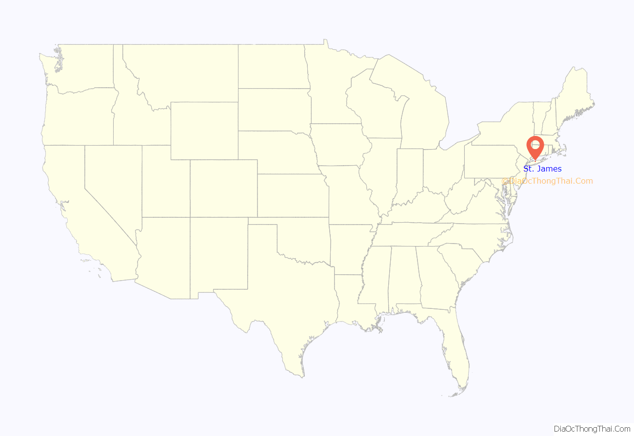
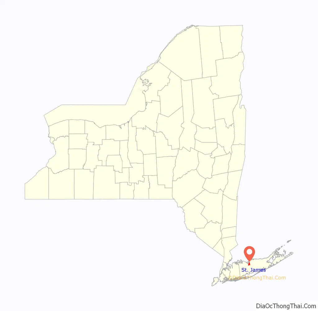
St. James location map. Where is St. James CDP?
History
In the early 20th century, St. James was a popular vacation spot for glitterati of the stage and screen. Summer residents included Lionel, Ethel, and John Barrymore, Buster Keaton, Myrna Loy, and Irving Berlin, among others. Noteworthy persons of the hamlet have included Stanford White, architect; William Jay Gaynor, New York State Supreme Court Justice and Mayor of New York City; Mick Foley, professional wrestler; Soledad O’Brien, television personality; John Miceli, drummer for Meat Loaf; and John Petrucci, lead guitar player for Dream Theater.
The St. James General Store, located on Moriches Road, is said to be the oldest continuously operating general store in the United States. It and a number of other historic structures were added to the National Register of Historic Places in 1973 as part of the Saint James District.
Many of these 19th-century structures are located along New York State Route 25A, otherwise known as North Country Road. Among them is Saint James Episcopal Church, the source of the hamlet’s name during the 1850s. In 1873, St. James Rail Road Station was established. Although small, the historic station-house is the second-oldest on the Long Island Rail Road.
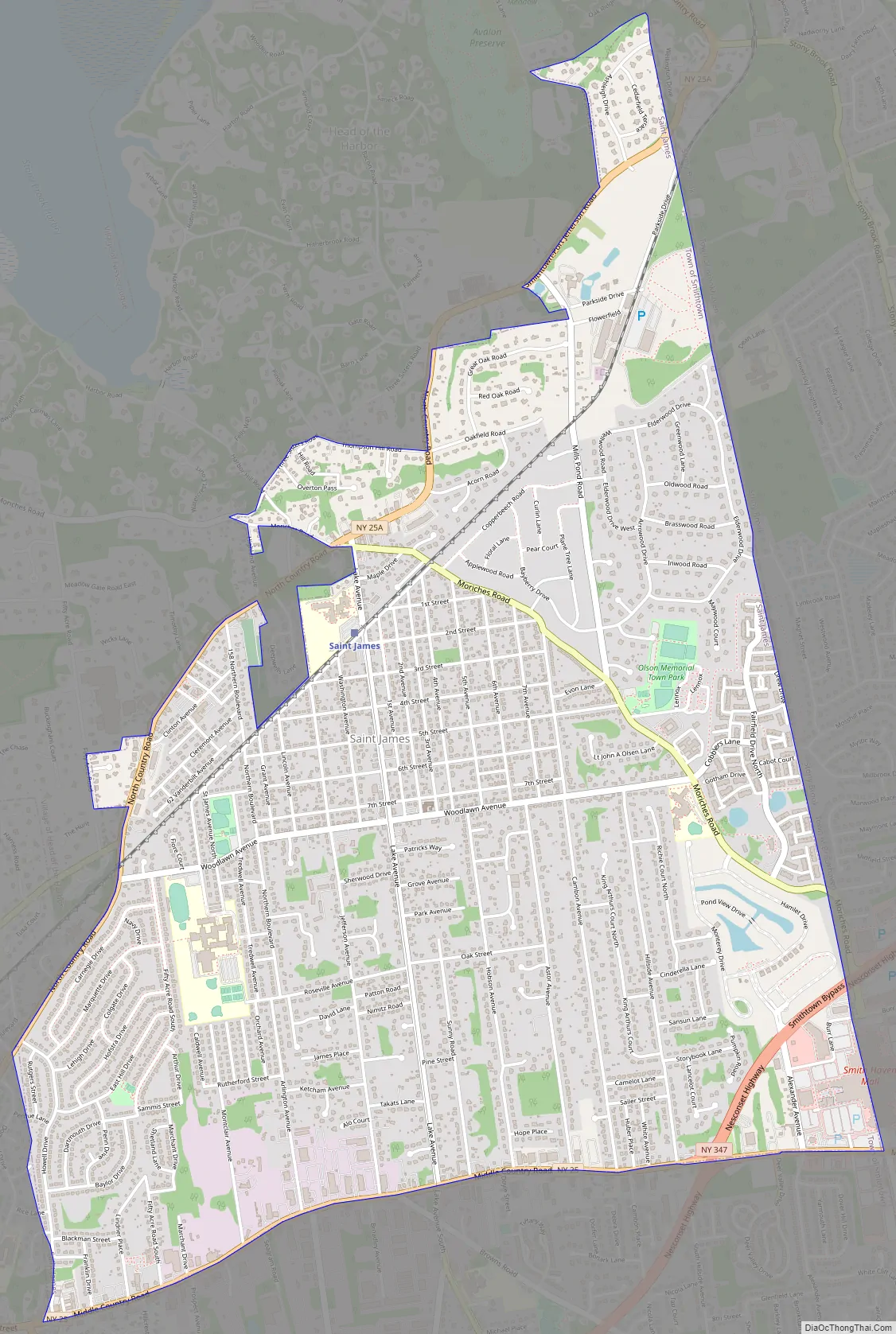
St. James Road Map
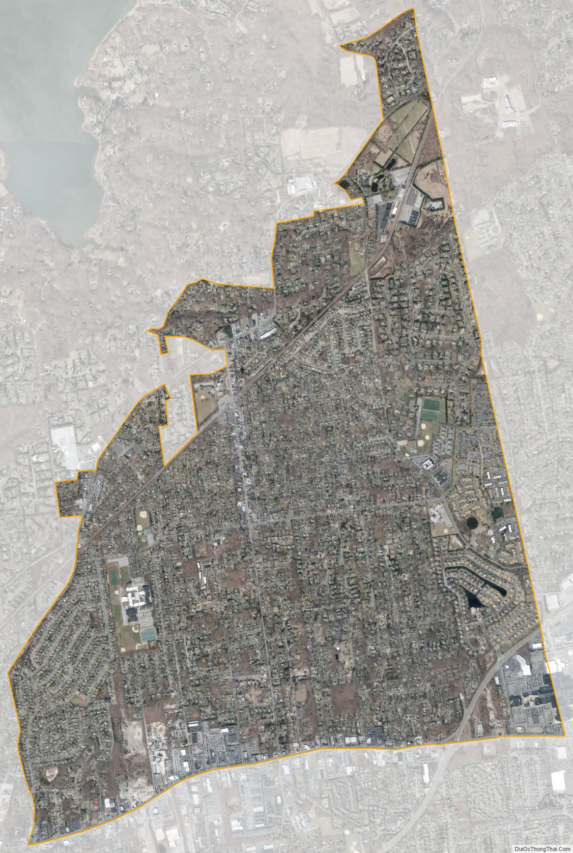
St. James city Satellite Map
Geography
St. James is located at 40°52′38″N 73°9′19″W / 40.87722°N 73.15528°W / 40.87722; -73.15528 (40.877202, -73.155260).
According to the United States Census Bureau, the CDP has a total area of 4.5 square miles (12 km), all land. To the north of the hamlet lies the Village of Head of the Harbor and Stony Brook Harbor.
St. James is situated in the eastern part of the town of Smithtown, east of the hamlet of Smithtown. Immediately due east of St. James sits the main campus of Stony Brook University, a major public research university.
It is approximately 15 minutes from Port Jefferson. This allows for quick access to the Bridgeport & Port Jefferson Ferry, which offers transportation across the Long Island Sound to New England while avoiding New York City traffic.
See also
Map of New York State and its subdivision:- Albany
- Allegany
- Bronx
- Broome
- Cattaraugus
- Cayuga
- Chautauqua
- Chemung
- Chenango
- Clinton
- Columbia
- Cortland
- Delaware
- Dutchess
- Erie
- Essex
- Franklin
- Fulton
- Genesee
- Greene
- Hamilton
- Herkimer
- Jefferson
- Kings
- Lake Ontario
- Lewis
- Livingston
- Madison
- Monroe
- Montgomery
- Nassau
- New York
- Niagara
- Oneida
- Onondaga
- Ontario
- Orange
- Orleans
- Oswego
- Otsego
- Putnam
- Queens
- Rensselaer
- Richmond
- Rockland
- Saint Lawrence
- Saratoga
- Schenectady
- Schoharie
- Schuyler
- Seneca
- Steuben
- Suffolk
- Sullivan
- Tioga
- Tompkins
- Ulster
- Warren
- Washington
- Wayne
- Westchester
- Wyoming
- Yates
- Alabama
- Alaska
- Arizona
- Arkansas
- California
- Colorado
- Connecticut
- Delaware
- District of Columbia
- Florida
- Georgia
- Hawaii
- Idaho
- Illinois
- Indiana
- Iowa
- Kansas
- Kentucky
- Louisiana
- Maine
- Maryland
- Massachusetts
- Michigan
- Minnesota
- Mississippi
- Missouri
- Montana
- Nebraska
- Nevada
- New Hampshire
- New Jersey
- New Mexico
- New York
- North Carolina
- North Dakota
- Ohio
- Oklahoma
- Oregon
- Pennsylvania
- Rhode Island
- South Carolina
- South Dakota
- Tennessee
- Texas
- Utah
- Vermont
- Virginia
- Washington
- West Virginia
- Wisconsin
- Wyoming


