Taconic Shores is a residential development and census-designated place (CDP) in Columbia County, New York, United States. The hamlet is near the geographic center of the town of Copake and surrounds Robinson Pond, a water body on the Roeliff Jansen Kill. The CDP was designated after the 2010 census, so no population figure is yet available.
| Name: | Taconic Shores CDP |
|---|---|
| LSAD Code: | 57 |
| LSAD Description: | CDP (suffix) |
| State: | New York |
| County: | Columbia County |
| Elevation: | 531 ft (162 m) |
| Total Area: | 1.02 sq mi (2.64 km²) |
| Land Area: | 0.83 sq mi (2.15 km²) |
| Water Area: | 0.19 sq mi (0.49 km²) |
| Total Population: | 547 |
| Population Density: | 657.45/sq mi (253.90/km²) |
| FIPS code: | 3673057 |
| Website: | www.taconicshores.org |
Online Interactive Map
Click on ![]() to view map in "full screen" mode.
to view map in "full screen" mode.
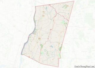
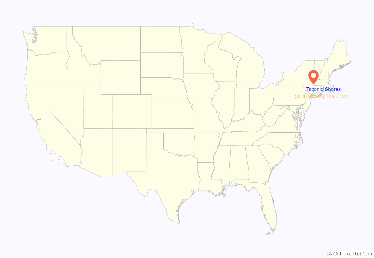
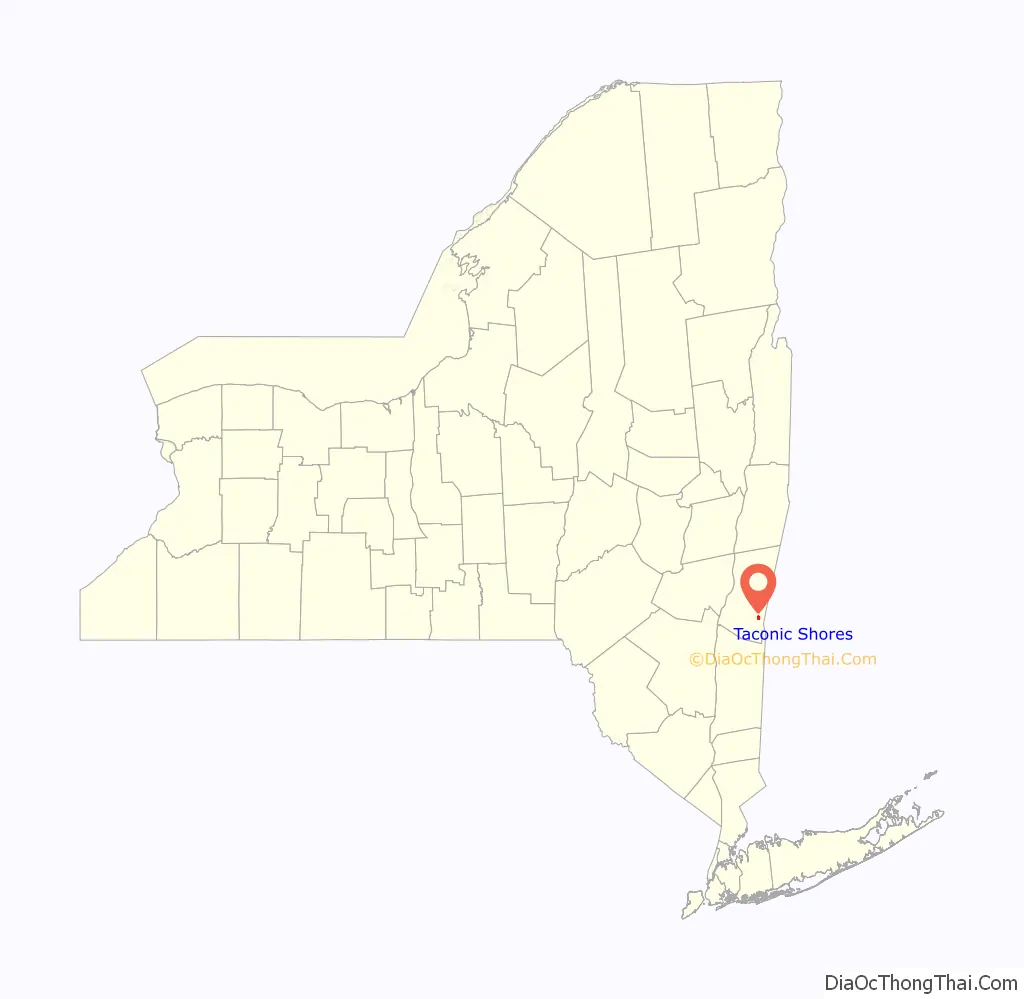
Taconic Shores location map. Where is Taconic Shores CDP?
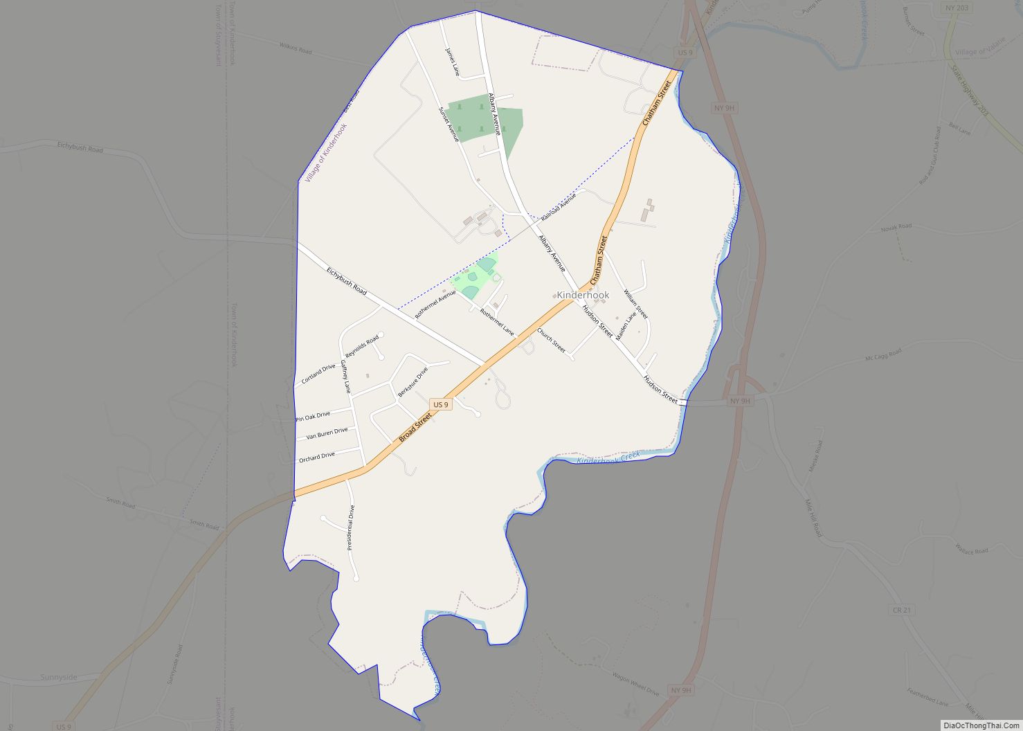
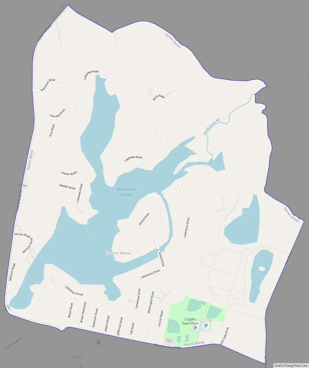
Taconic Shores Road Map
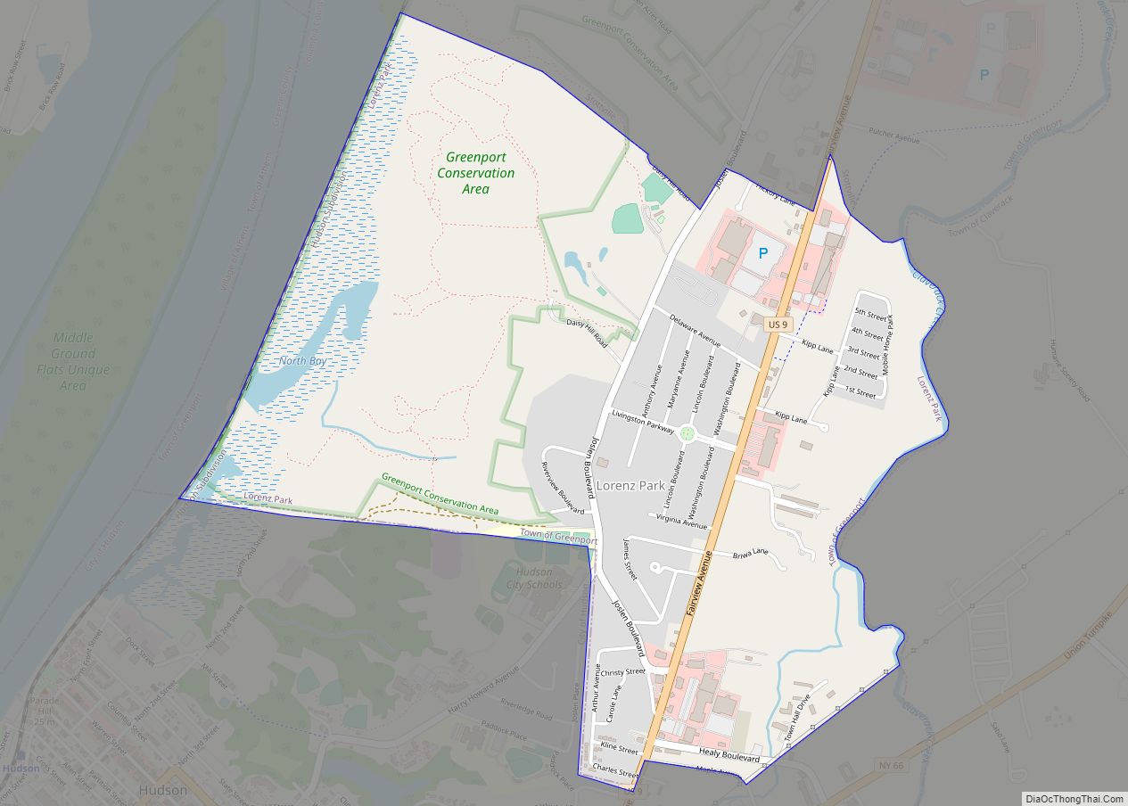
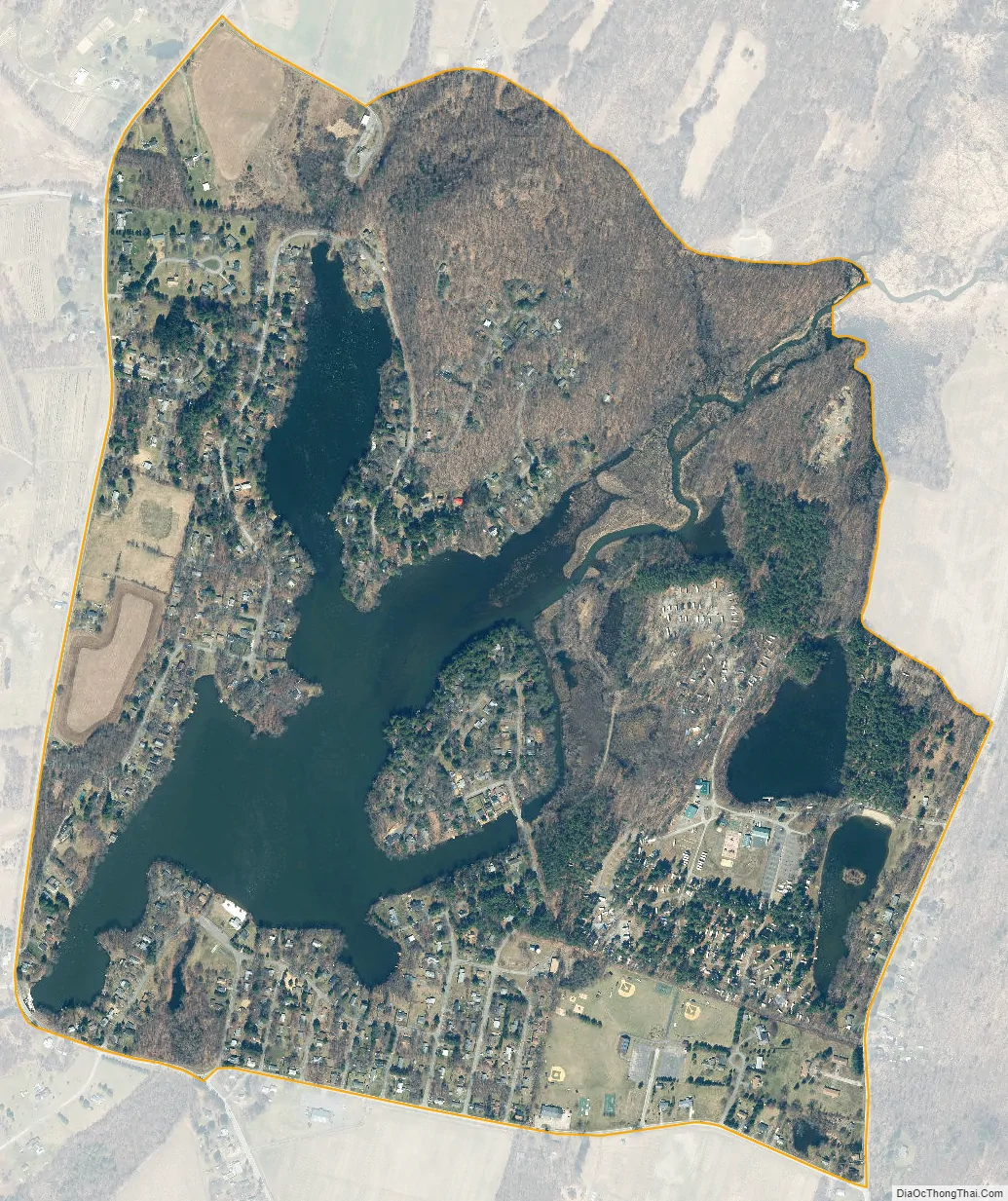
Taconic Shores city Satellite Map
Geography
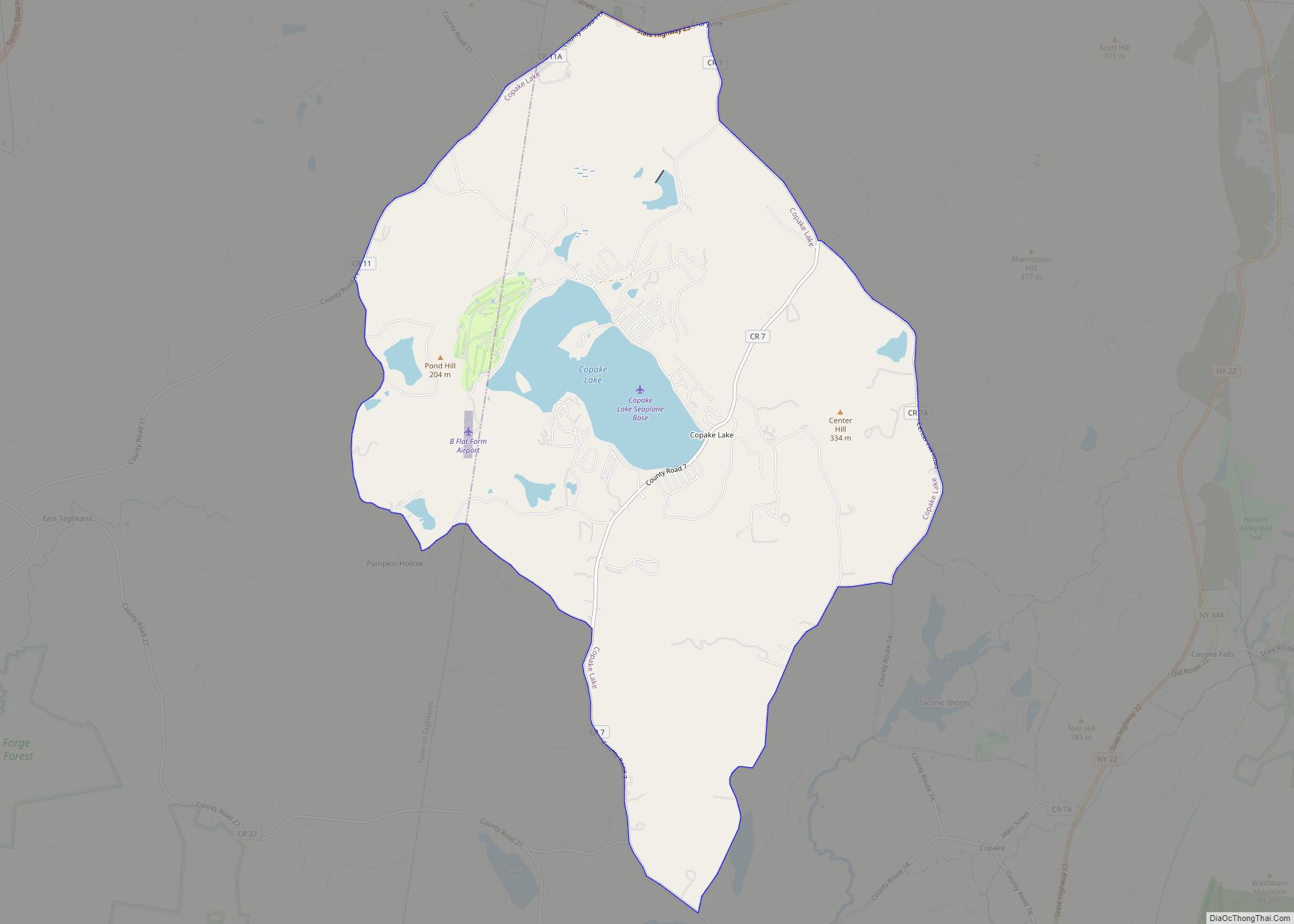
Taconic Shores consists of a housing development surrounding Robinson Pond, part of the Roeliff Jansen Kill, a stream which flows west to the Hudson River. The community is just north of Copake Hamlet and the Copake Town Hall. The community of Copake Lake is 2 miles (3 km) to the northwest (5 miles (8 km) by road).
According to the United States Census Bureau, the Taconic Shores CDP has a total area of 1.0 square mile (2.6 km), of which 0.85 square miles (2.2 km) is land and 0.19 square miles (0.5 km), or 18.47%, is water.
See also
Map of New York State and its subdivision:- Albany
- Allegany
- Bronx
- Broome
- Cattaraugus
- Cayuga
- Chautauqua
- Chemung
- Chenango
- Clinton
- Columbia
- Cortland
- Delaware
- Dutchess
- Erie
- Essex
- Franklin
- Fulton
- Genesee
- Greene
- Hamilton
- Herkimer
- Jefferson
- Kings
- Lake Ontario
- Lewis
- Livingston
- Madison
- Monroe
- Montgomery
- Nassau
- New York
- Niagara
- Oneida
- Onondaga
- Ontario
- Orange
- Orleans
- Oswego
- Otsego
- Putnam
- Queens
- Rensselaer
- Richmond
- Rockland
- Saint Lawrence
- Saratoga
- Schenectady
- Schoharie
- Schuyler
- Seneca
- Steuben
- Suffolk
- Sullivan
- Tioga
- Tompkins
- Ulster
- Warren
- Washington
- Wayne
- Westchester
- Wyoming
- Yates
- Alabama
- Alaska
- Arizona
- Arkansas
- California
- Colorado
- Connecticut
- Delaware
- District of Columbia
- Florida
- Georgia
- Hawaii
- Idaho
- Illinois
- Indiana
- Iowa
- Kansas
- Kentucky
- Louisiana
- Maine
- Maryland
- Massachusetts
- Michigan
- Minnesota
- Mississippi
- Missouri
- Montana
- Nebraska
- Nevada
- New Hampshire
- New Jersey
- New Mexico
- New York
- North Carolina
- North Dakota
- Ohio
- Oklahoma
- Oregon
- Pennsylvania
- Rhode Island
- South Carolina
- South Dakota
- Tennessee
- Texas
- Utah
- Vermont
- Virginia
- Washington
- West Virginia
- Wisconsin
- Wyoming